Door Jamb Mountain - Spring
Date Walked: 16th April 2012
Distance: 2.5 miles (4.1 km)
Actual Ascent: 2286ft (697m)
Time Taken: 2.5 hours
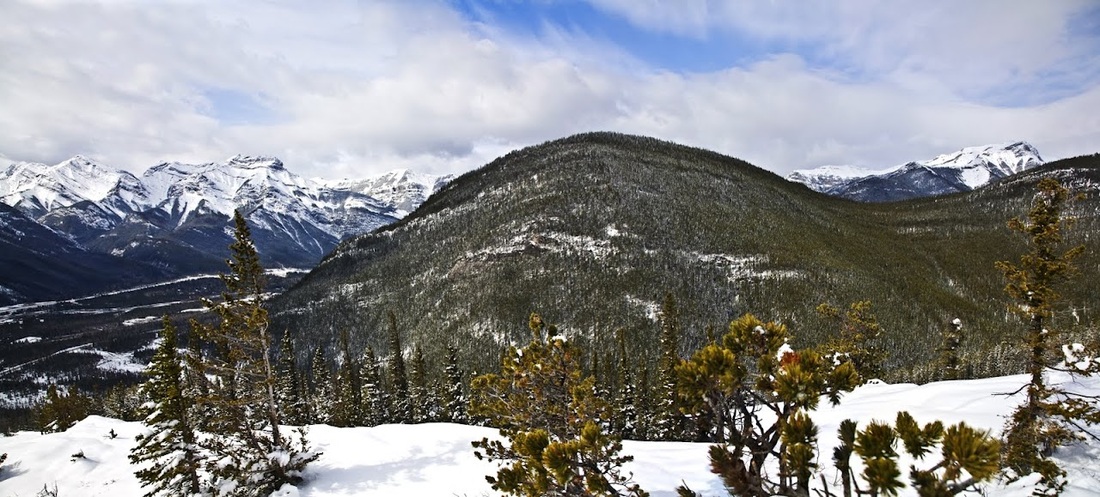
When I hiked Yates Mountain a couple of weeks ago I looked over highway 1 from the summit and saw the south facing slopes of Door Jamb Mountain. The lower sections were almost clear of snow promising a good start to anyone taking on the very steep ascent. Even though we've had 2 weeks of snow in the mountains since then it has been the wet stuff and has been melting almost as fast as it was falling.
I consulted my guide books for a route, they tell me there is no trail up here, just a suggested route that begins directly opposite a lime plant in the bottom of the Bow Valley. It's a pleasant ride along highway 1 (Trans Canada) to exit 114 where I join highway 1x linking the Trans Canada to it's neighbour highway 1A. I drove West on highway 1A until I reached the small town of Exshaw which meant I had gone too far, turning around I slowly drove back to the lime plant where a power line clearing could be accessed by crossing a deep roadside cess.
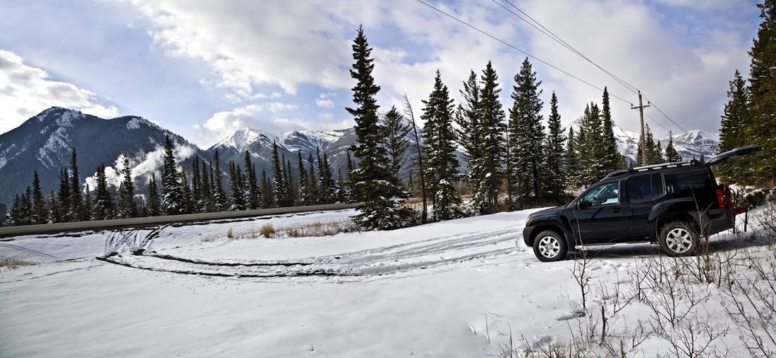
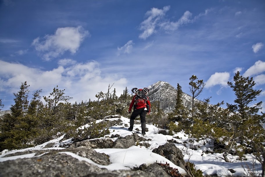
My map and GPS both confirm that this is the right place and I can see why there is no trail here, it is more of a scramble than a hike to start on a lung busting ascent directly out of the truck.
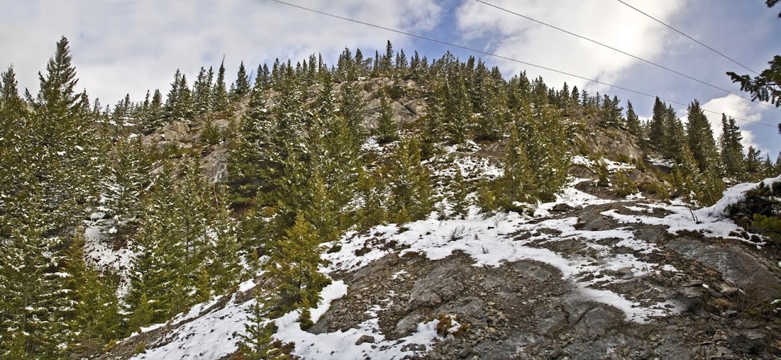
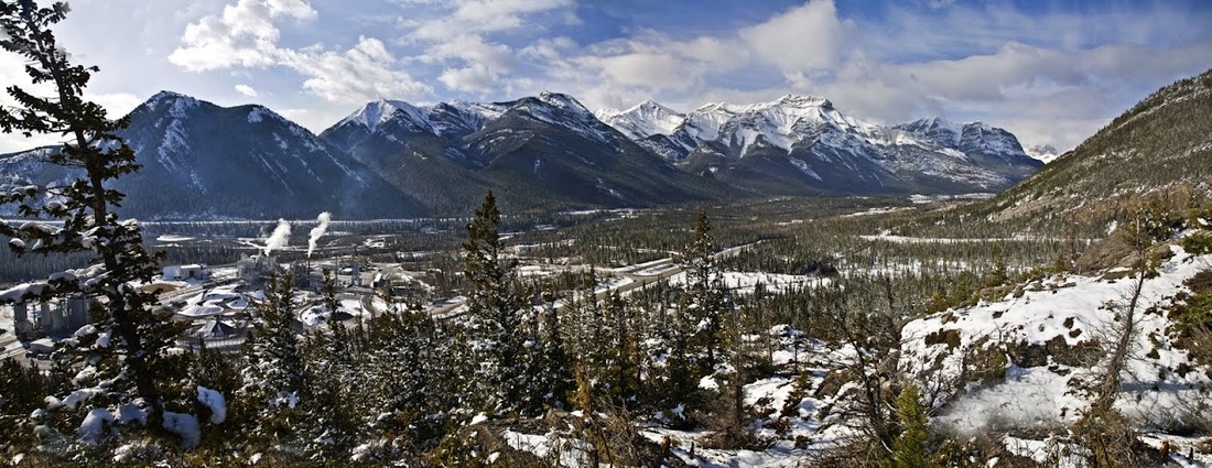
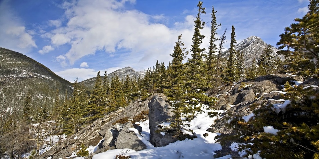
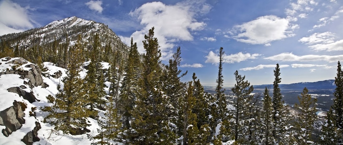
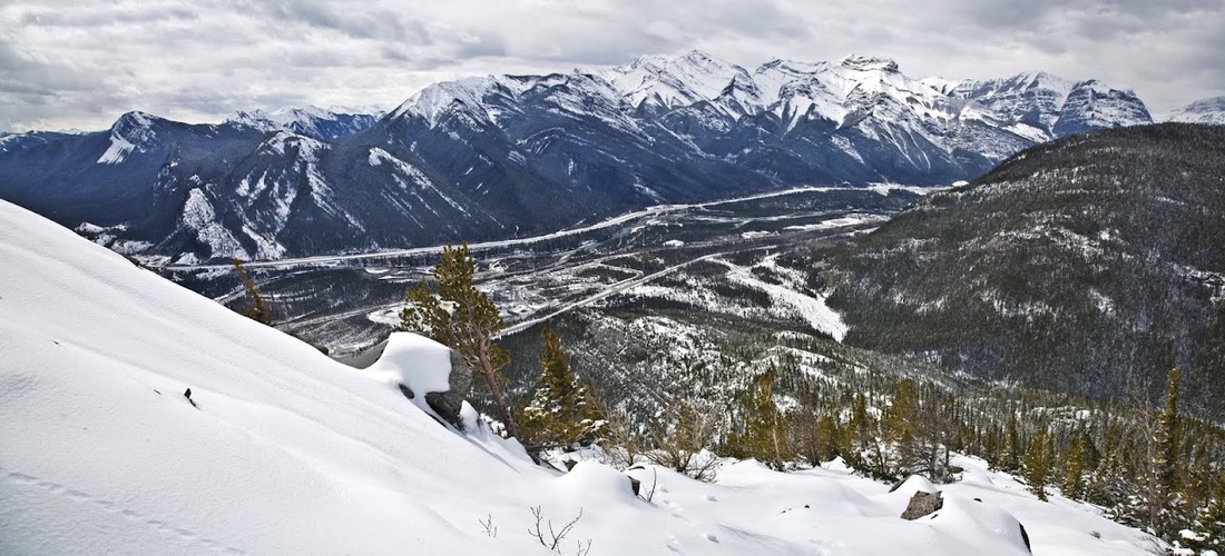
As is always the case with steep ascents the view opens up quickly showing the Heart Mountain horseshoe across the valley and a string of stunning peaks heading West along the highway. The rocks are easy to walk on but the gradient certainly isn't, there are a number of 'hands on' scrambles sections though they are not technically difficult they do sap the energy.
I reach a nice stony ridge with a short easy section just when Mark calls for a chat as he makes his way home from work, I always love to hear from my boy and I'm also grateful for the reason to stand still for a while. Though we have done this many times now I am still amazed at the communication link between a car travelling 70 mph on a UK motorway and a mountain in Canada. I enjoy our natter about the football and the brief rest before telling Mark I'll call tomorrow from home and I move on. Looking ahead the summit makes the steep sections I've already ascended look like a mild stroll uphill and I set off again with some trepidation.
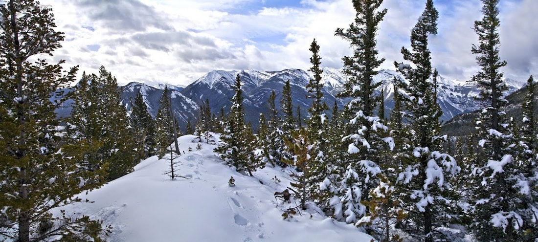
Not much need for that map sticking out of my back pocket now, I can see where I need to be and as there's no trail it is pretty much a make your own way ascent, I don't expect to need the snowshoes on the ascent but I'm planning to hike the ridge and descend the Northern slopes into a gully and trek out along a creek bed
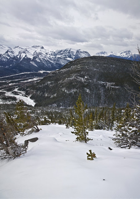
after another couple of hundred feet the views to the North are widening and the depth of the mountain ranges can be seen layer upon layer, worse still that damn peak does not seem to be getting any closer.
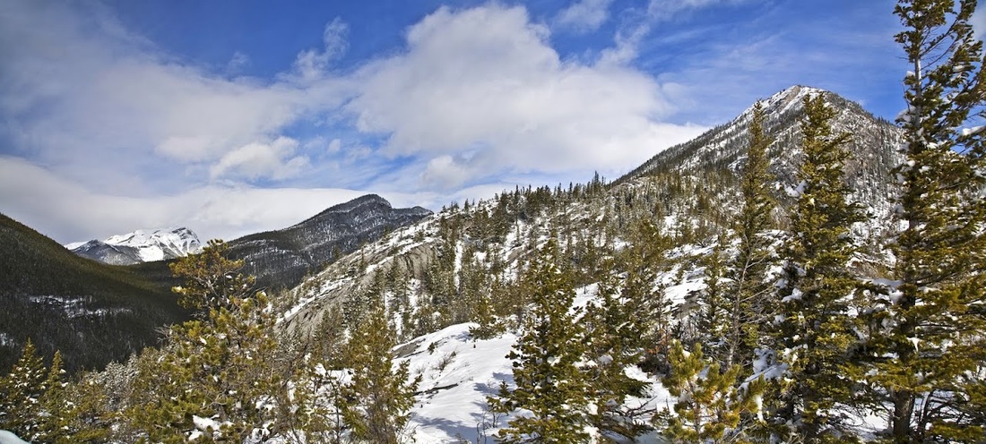
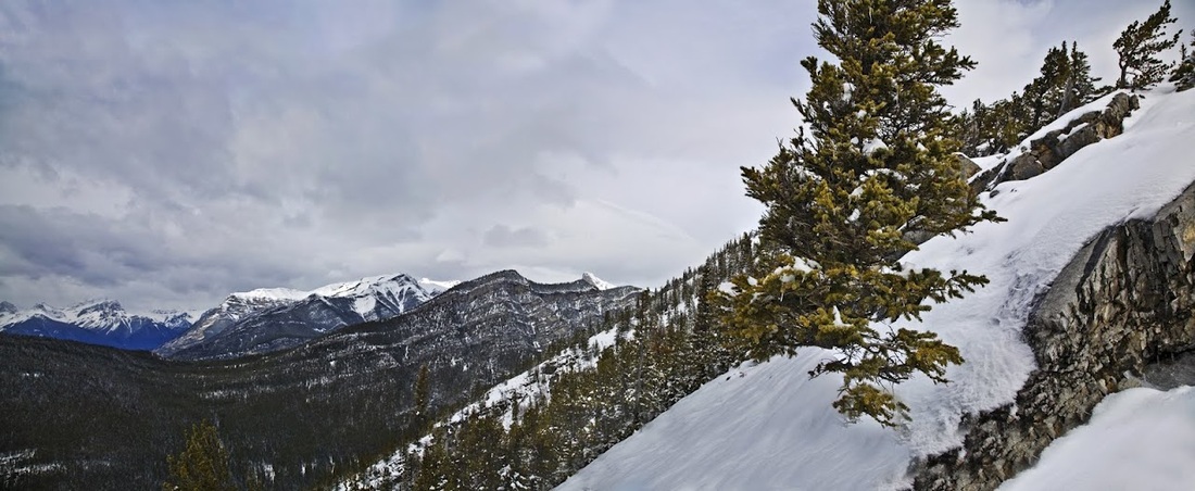
to the West Exshaw Mountain (which I had considered hiking) looked quite straightforward in comparison to this, though it's heavy coating of trees would limit the views
looking East the mountains of the Bow Valley end and the prairie begins stretching out toward Calgary
When I reach the snowline there is no need for the snowshoes as the wet snow is firm underfoot for the most part, the exception being the odd deep drift and even then I only sink to the knee occasionally.
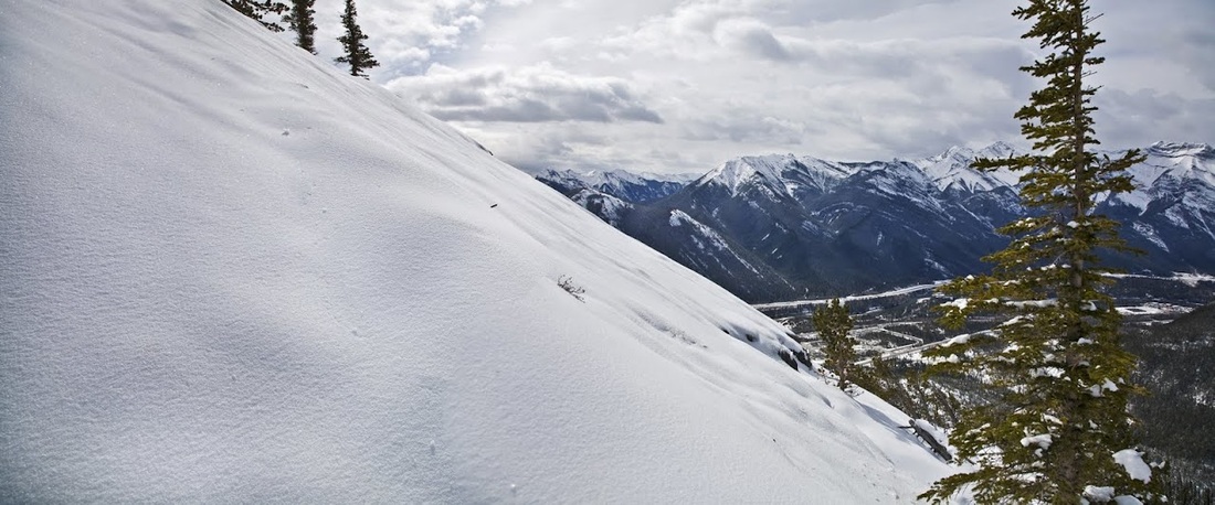
looking toward the summit I am at the first of three huge, steep, snow covered slabs. There is a storm brewing away to the West and it is sending a fierce wind across the tops. I stay behind the ridge for as long as possible to avoid it.
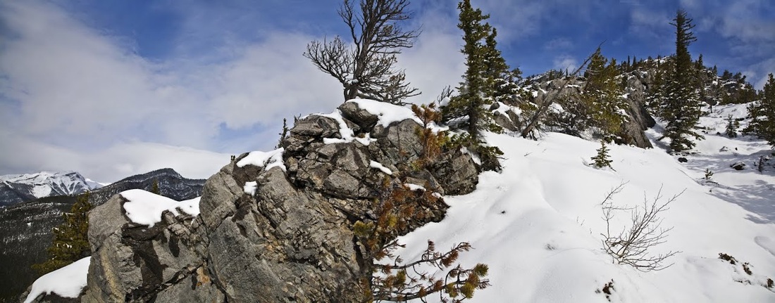
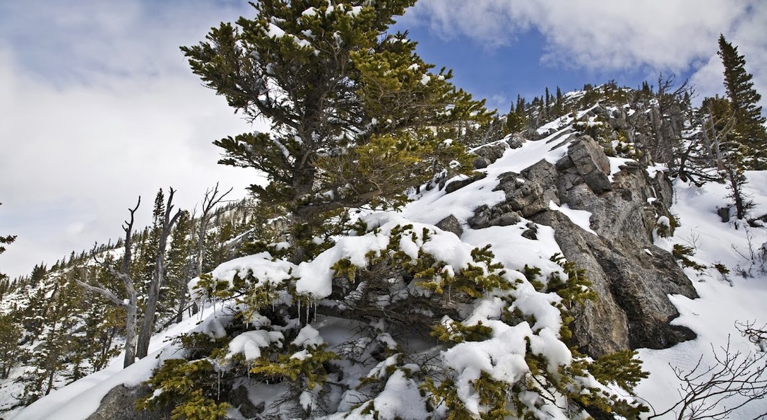
toward the end of the first slab I'm forced out of my sheltered spot as the scree becomes far too mobile for my liking, trees and branches are tangled beneath the snow and the hiking conditions are too risky. The temperature up here is still below freezing (as demonstrated by the icicles hanging from the trees) the ascent is incredibly steep now and to call it difficult would be a huge understatement
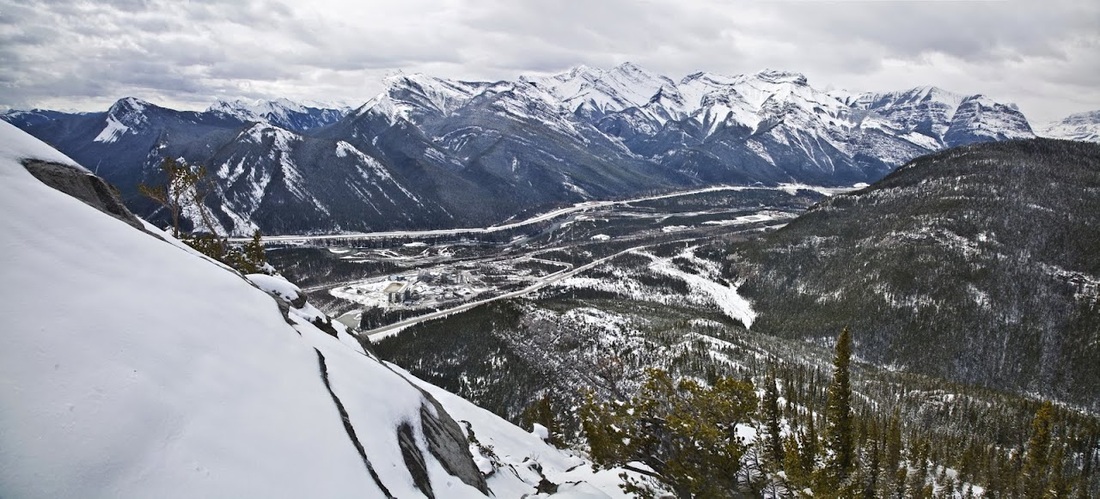
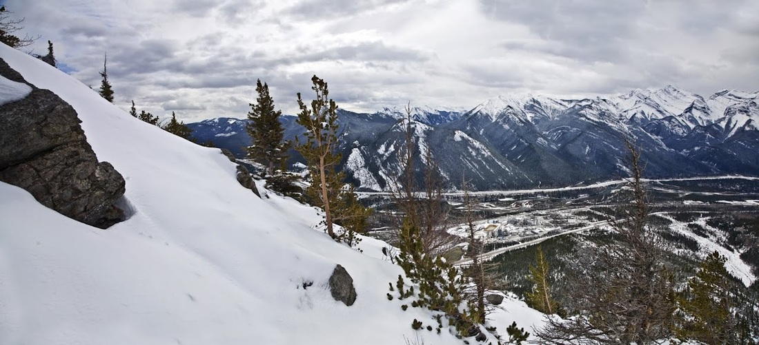
breaking out onto the edge of the crest I can see out across the Bow Valley, the peak on the far left is Yates Mountain where I hiked to the fire lookout station a couple of weeks ago. The crest I'm hiking is loose crumbling rock with a moderate snow covering and almost impossible to negotiate safely, the only option is to head inward across the slab and try to reach the step where the next slab rises.
I zig and zag gingerly across the snow covered slab starting small avalanches and slip sliding along, it is a very difficult traverse to say the least.
I finally make it across the slab to the small ridge where I can use the overlap as a hand rail, there are wisps of snow in the air now and the wind is blowing harder and cooler, the storm to the West is creeping closer and beginning to blot out the blue skies
using the overlapping rocks as a handrail I make another push, higher still toward the seemingly inaccessible summit. If only the snow was frozen solid this would be a piece of cake,I could kick a few steps and be up it in no time
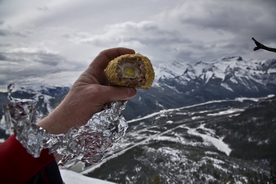
as the storm catches up with me I'm hit by a tremendous preceding wind and whipped by fast blowing snow so I tuck into the ridge line behind the vertical rocks and have a bit of lunch.....home made scotch eggs, what could be better.
As I tuck in an incredible amount of snow blows through with thick heavy flakes at a wicked speed, I wait a while before emerging from my hole and checking the GPS, I'm about 500 feet from the summit. I think about Mark, Hayley and Ethan coming to visit next week and I suddenly gain the good sense to call it a day. Heading back down the mountain all of my footprints have been covered by the storm and I have to pick my way again, it is as difficult as the ascent and almost as draining.
I'm happy to get off those huge slabs and sharp ridge and down to an area with a few trees to hold on to as I make the descent, strangely the valley doesn't seem to have been badly effected by the snow, though it is much warmer down there
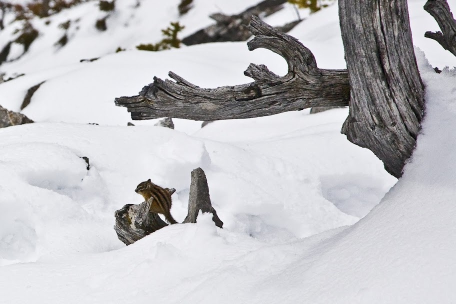
almost back on the lower levels I finally managed to capture one of the little chipmunks that I see almost every walk out here, I'm glad I did as Sarah was beginning to think I was hallucinating, I always say I've seen chipmunks but never had a picture to show her.
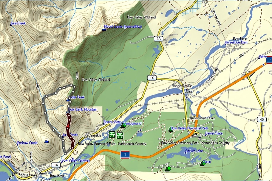
On the map below is the actual route (dark red) and the intended route (grey) I'm glad I turned back, it was too early in the season for this walk and maybe I should have known that but I'm learning as I go. As long as I have the sense to turn back when I should it makes for excellent experience....as for this summit...I'll be back.