Jumpingpound Ridge Trail (North)
Date Walked: 11th June 2018
Distance: 7.5 miles (12.2 km)
Actual Ascent: 2398 ft (731m)
Time Taken: 4 hours
Jumpingpound ridge and mountain are regular haunts for me now. They're close to home and perfect for shoulder season wandering at lower levels. I usually take the summit trail so today I chose the longer route with almost twice the ascent, as it transpires that was a bad choice, it's a great trail but not when you're not feeling well.
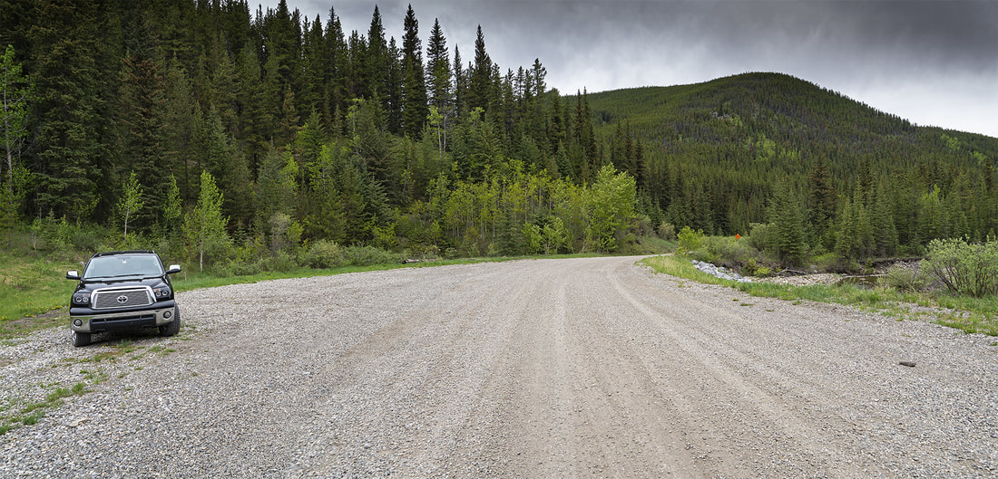
To reach the trailhead you take the Powderface Trail (a dirt road) from it's junction with highway 68 close to Sibbald Lake Provincial Campground. Travel 10.5 km along the powderface trail until you reach a wide roadside pullout on the west side close to a bend in the nearby creek, you will see the trailhead sign directly opposite.
To reach the trailhead you take the Powderface Trail (a dirt road) from it's junction with highway 68 close to Sibbald Lake Provincial Campground. Travel 10.5 km along the powderface trail until you reach a wide roadside pullout on the west side close to a bend in the nearby creek, you will see the trailhead sign directly opposite.
There is a very short detour at the start of the hike now, owing to a bridge washout, but it only takes a minute to make the go-around. As I started out squally snow showers blew through and I found myself in full winter jacket, hat and gloves as I crossed the new bridge heading east.
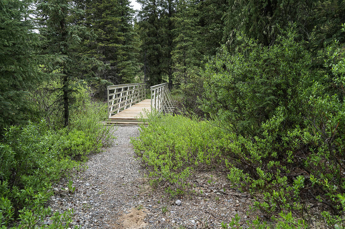
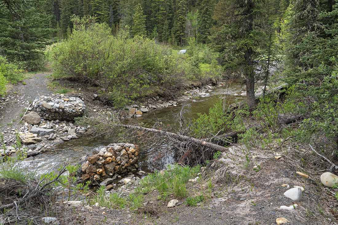
A few steps over the new bridge the trail swings back to the location of the old bridge to pick up the original route. You can still see my truck through the shrubs here so you can see it is a short detour. The old bridge is on it's side downstream and the abutments remain in situ.
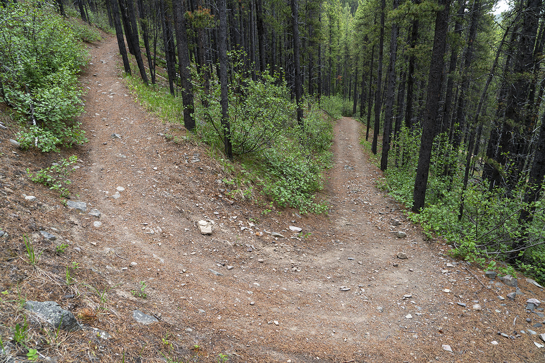
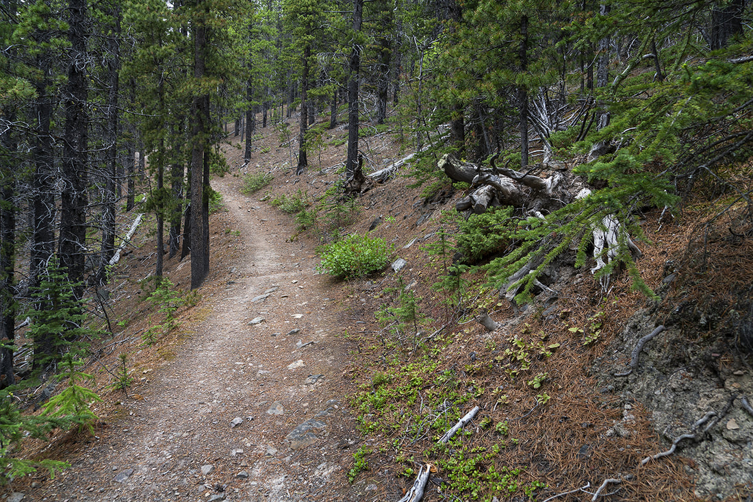
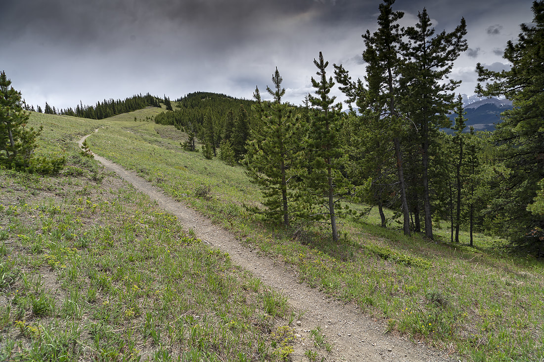
The start of the trail is death by switchback, with turn after turn leading you quickly upward through the forest. It's a nice steady start today as the snow keeps falling and the cold wind persists.
It's easy going but doesn't feel like it today, I feel tired already and should have recognised that I wasn't 'right' but I put it down to lack of winter workouts and carried on.
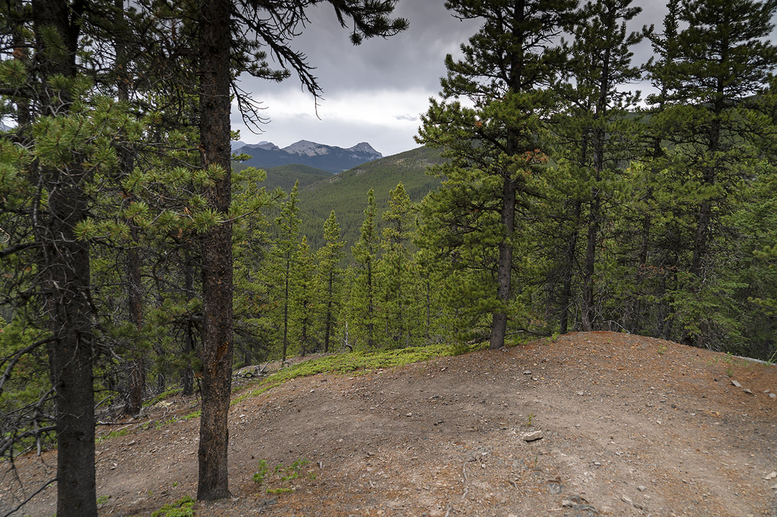
There are few opportunities to make images of the brief views along the way, but the closed forest does a great job of keeping the wicked wind at bay. Occasional glimpses do show the snow clouds hanging around overhead.
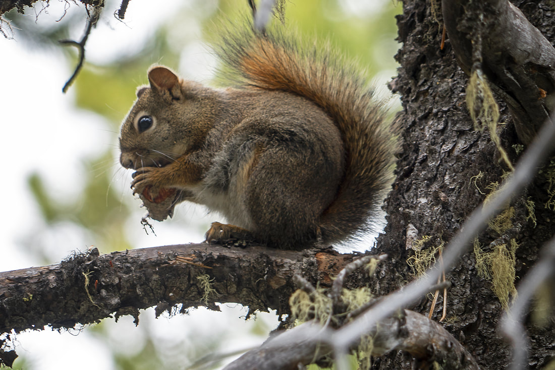
I saw quite a few deer along the way, perhaps they were hiding from the wind too, all of them proved to be too fast for the camera today but the usual suspects remained around long enough for a shot.
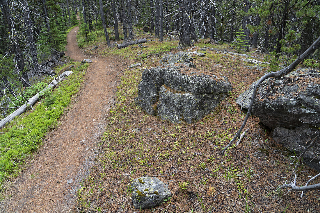
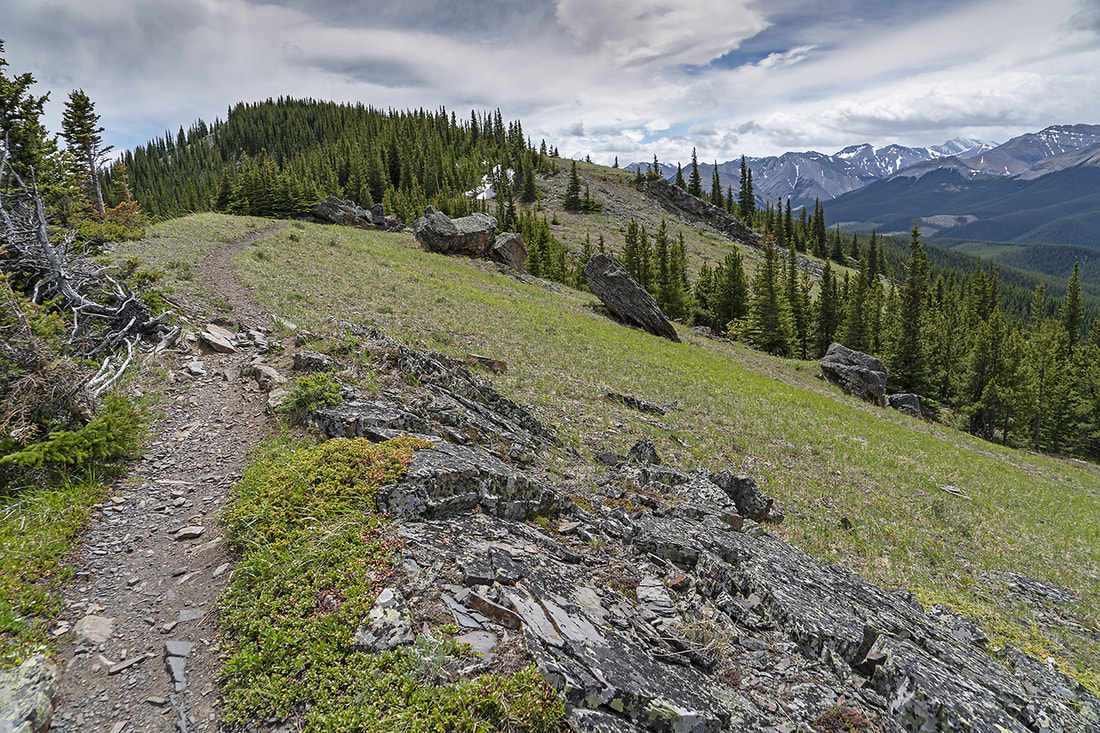
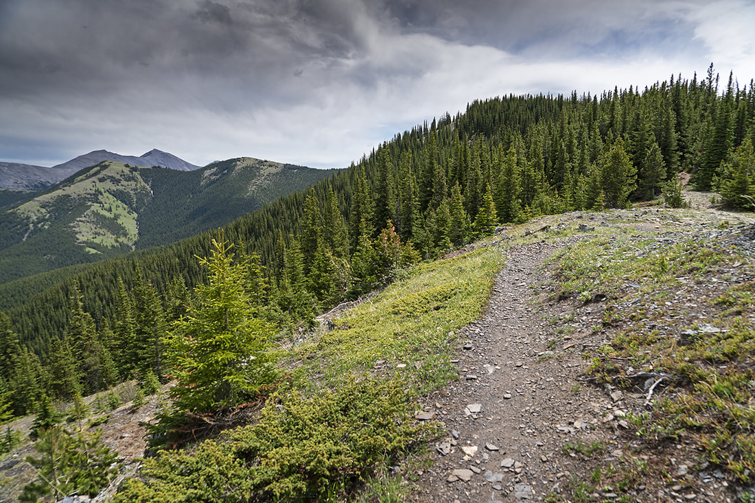
Once the mass of switchbacks are out of the way it is a lovely woodland trail heading along the ridgetop. By now I'm feeling pretty bad, weak and far too low on energy for it to be fitness related, but I'm up the worst of it now so I decided to press on, after all, look at that lovely trail.
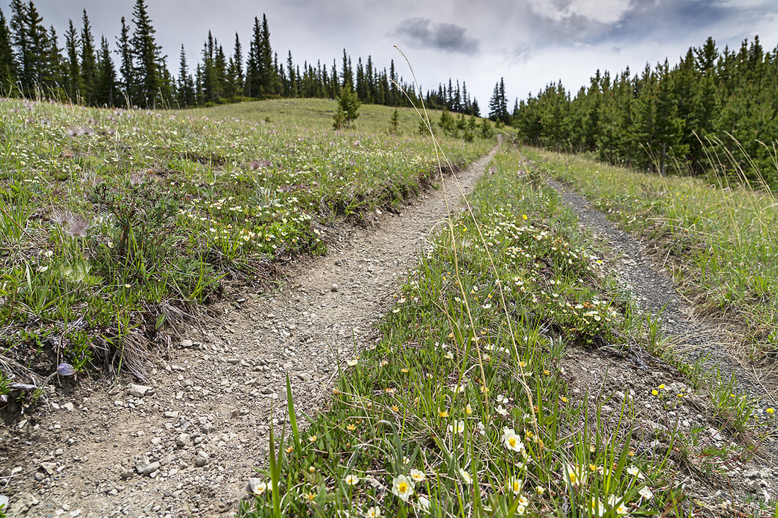
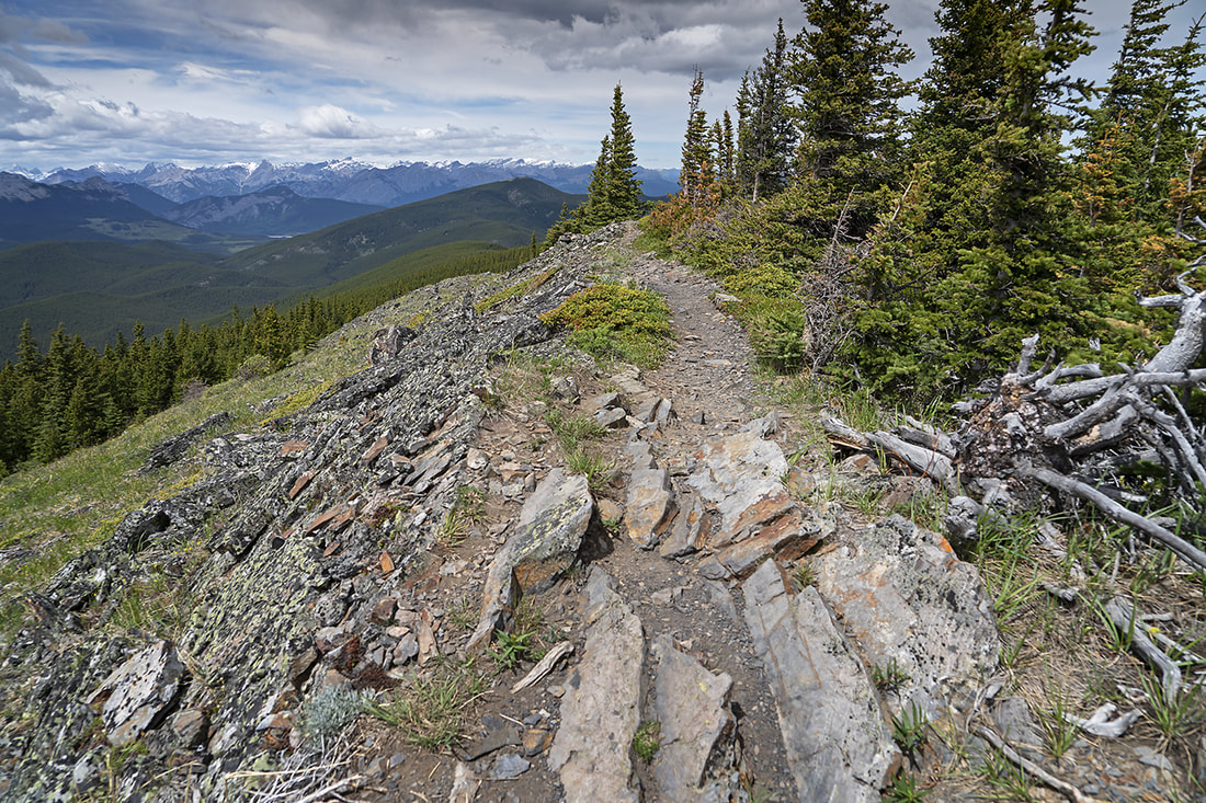
After about 4.5 km the route opens out onto the grassy banks of the ridge, the snow is still blowing around and it is very cold even after all the ascent. From this point you can turn left and hike a different route to Cox Hill (another regular haunt for me) or continue along toward Jumpingpound Mountain as I did today.
Into the open and the wind is absolutely howling and so much colder than I would normally expect. Clearly this is circling down from the arctic....and it feels like it too.
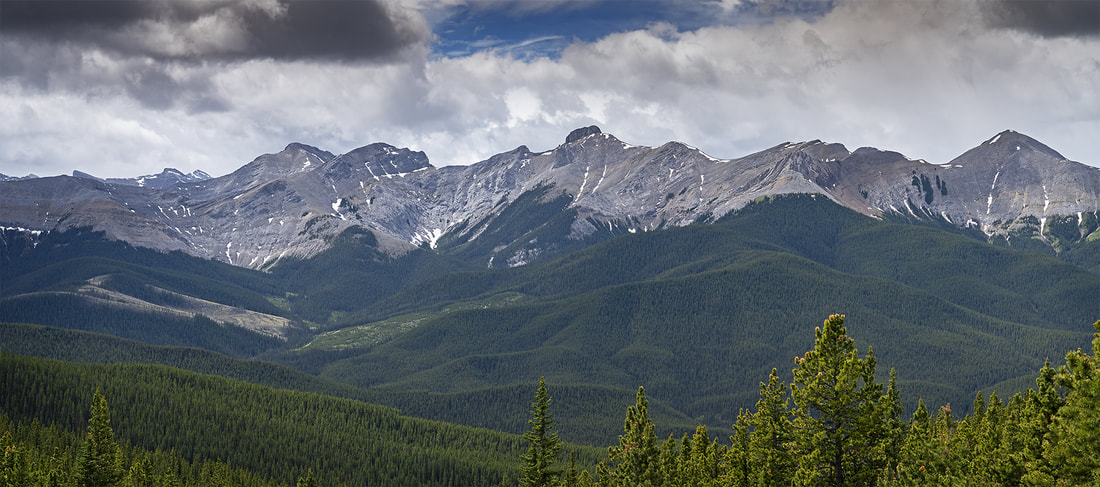
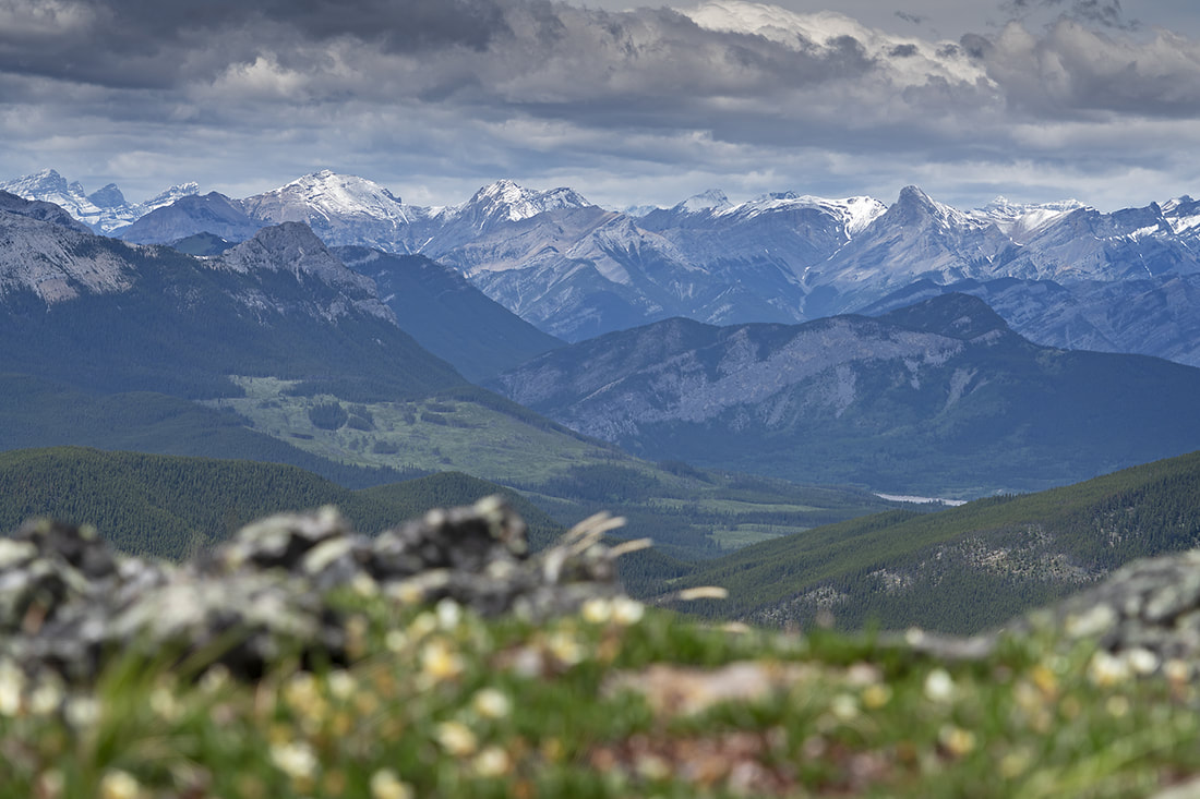
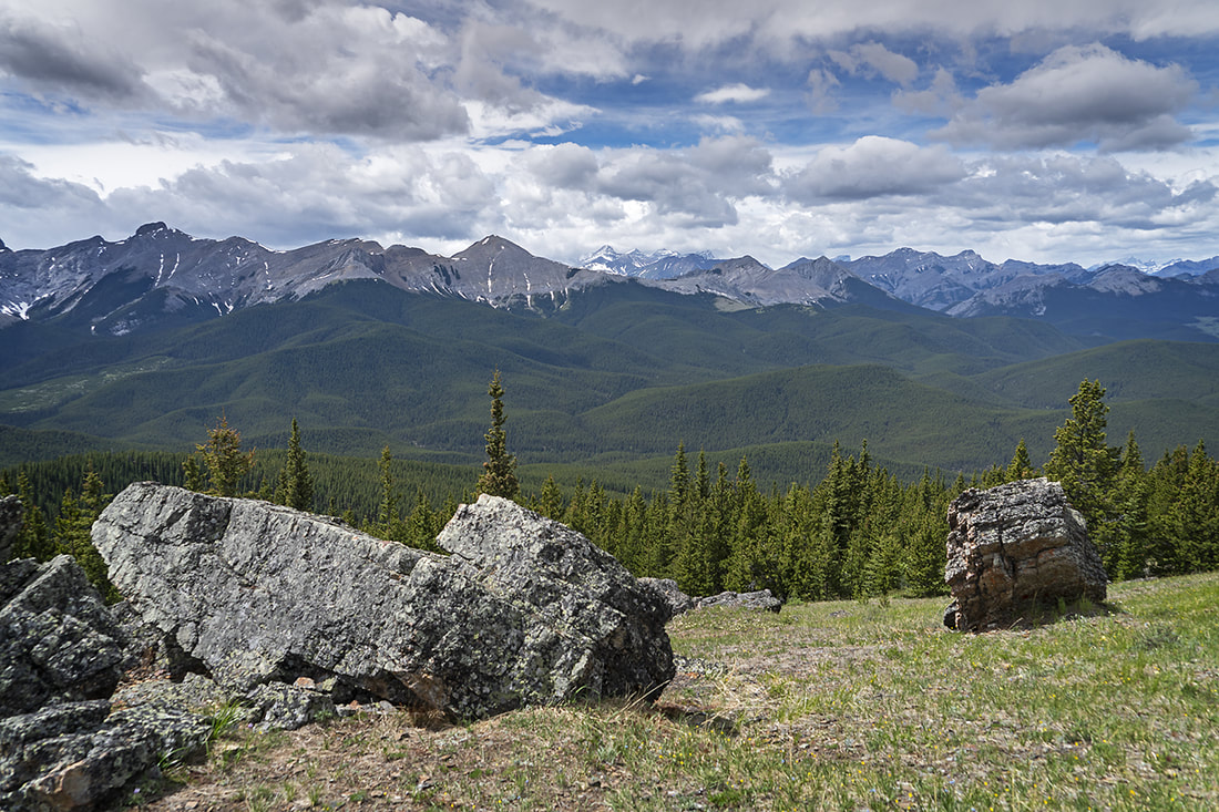
The meadow on the ridgetop opens out revealing views across the Fisher Range but with that open view comes the full force of the wind and cold further depleting my energy as I'm buffeted about.
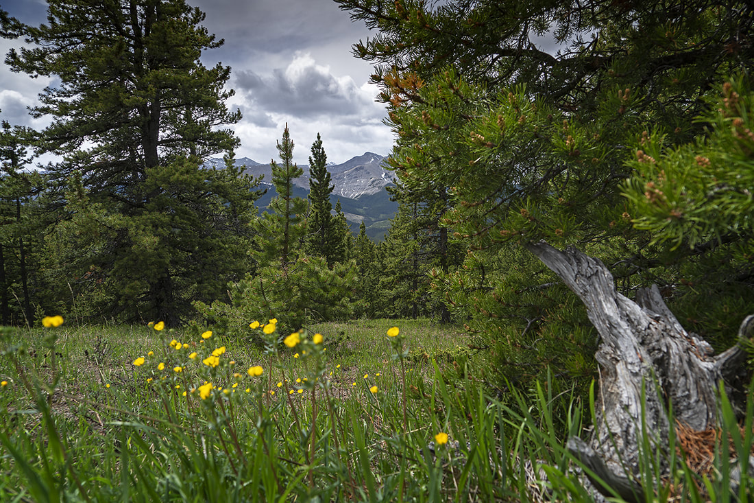
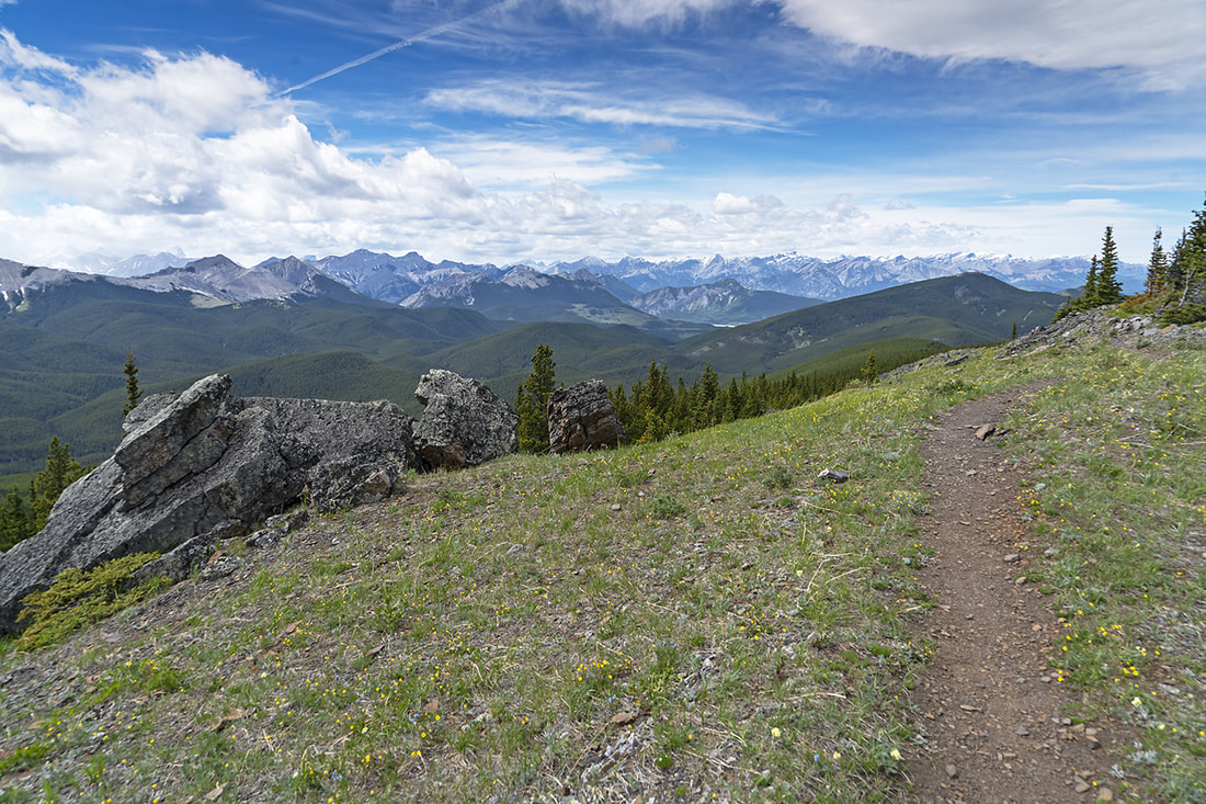
Along the ground masses of wildflowers are scattered all about the ridge and occasional groups of trees reduce the wind to a more bearable level.
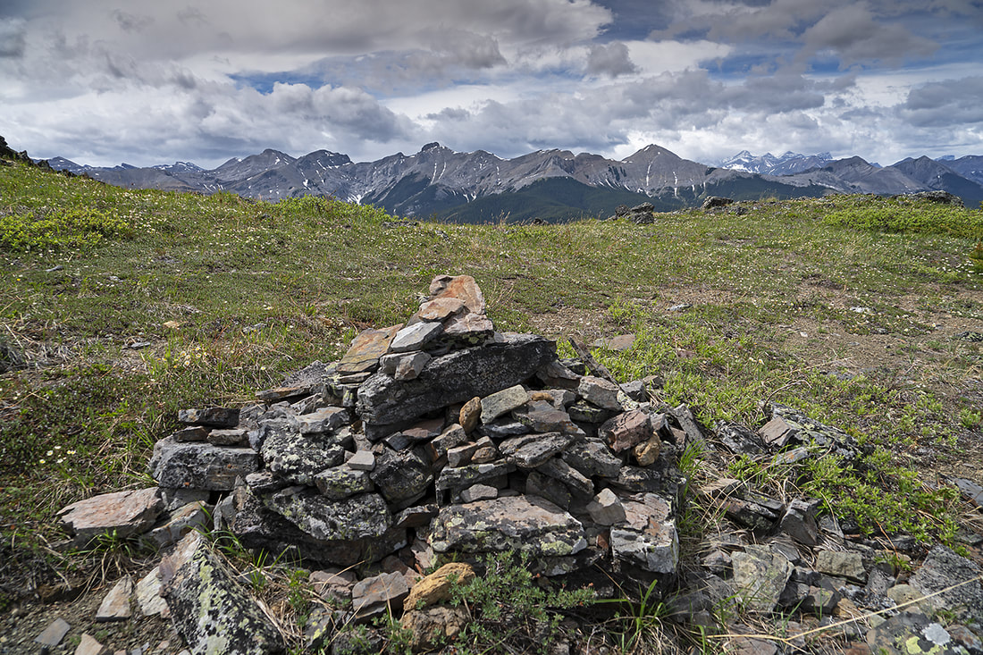
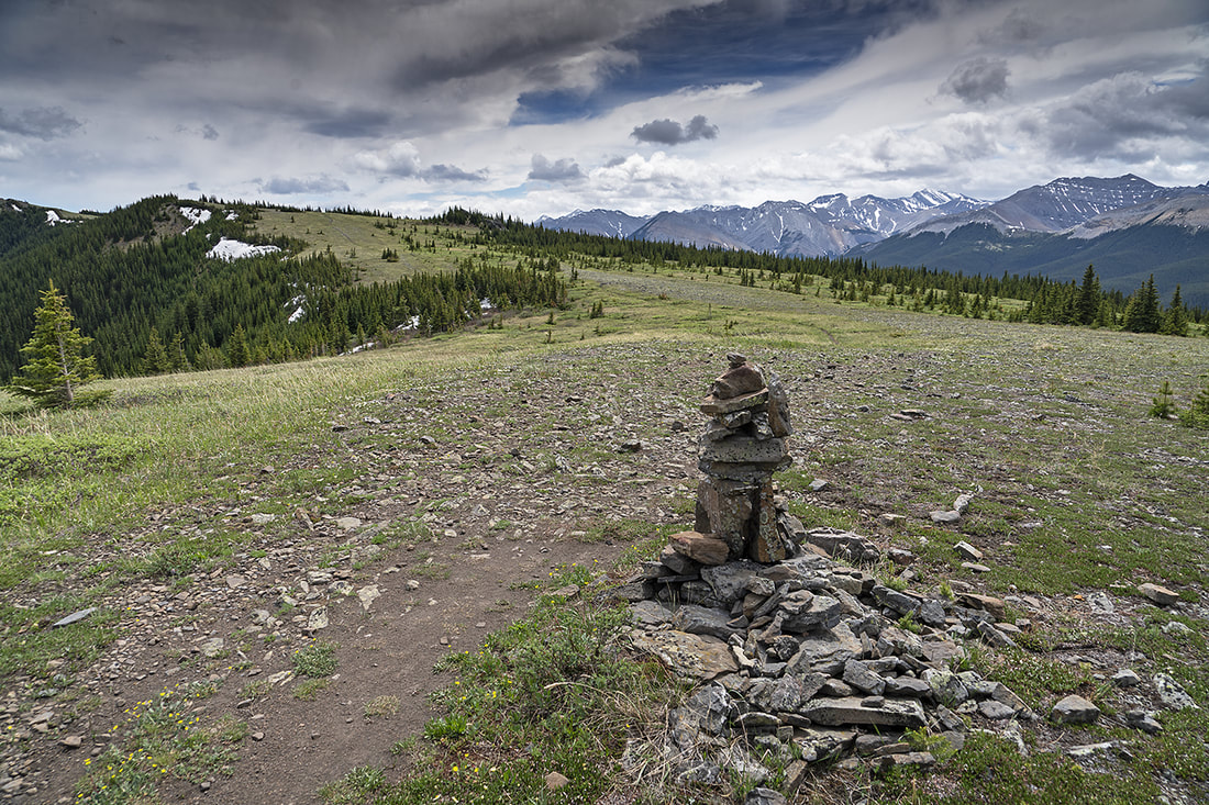
The entire route is littered with cairns of varying sizes, no doubt useful when the snow blows across the ridge. The views remain and are enhanced by the fast moving snow clouds below the usual blue skies
A long zoomed shot across the ridge reveals the melt line as the showers continue to dust the mountain tops with a fresh coating. At this point I am really feeling the effort and starting to think about turning around.
The route ahead is still level going and won't burn up too much energy, the temperature is something else entirely. I am now feeling cold rather than feeling the cold. I'm not sure if it is the actual temperature or a combination of that and my elusive, energy sapping, illness.
Even with the cold and feeling unwell I can still see the beauty of the surrounding views. There are mountains sprinkled liberally around and rolling forests blanketing the hills between me and them.
After making this shot I sheltered beside the largest rock here to escape the relentless wind and had an orange and a snackbar to try and boost my energy levels.
As I continued on toward another small forested section I could see the familiar shape of Moose Mountain rising above the green slopes of Jumpingpound Mountain ahead.
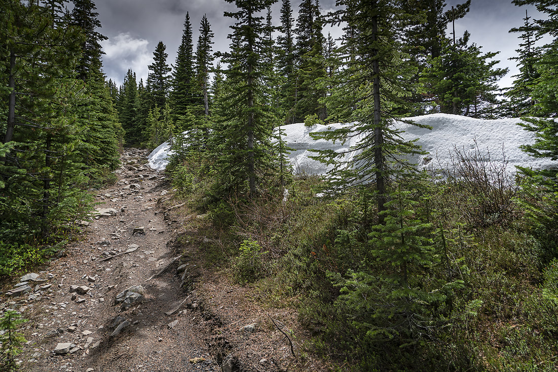
The forested section did hold a surprising amount of snow still hanging on to winter. Several feet thick the north facing lump was generating enough cold to maintain itself in the shaded forest.
As I exited the forested area once more the wind hammered at me again and I decided enough was enough. I'd made a little over 6km and 731m of ascent when I saw the open ground ahead, and decided I'd had it for the day, I chose the odd shaped cairn as my turning place.
I returned to the treeline and found a perfectly shaded spot out of the wind and sat myself down for a rest. I knew there was no way I should be so tired and that I had some kind of bug so I scoffed down another orange and snack bar and set off back toward the trailhead. The sky did clear for a short section but the howling wind continued throughout.
Looking at my images I can see that this is a lovely steady hike and one I would normally realish, when I got home I showered and slept for a very long time. Today (next day) I feel weary but nowhere near as exhausted as I was from this little lump. Maybe I'll get back here and try this again when I'm not subdued by a mystery illness as I'm sure it will be a great local wander.