McLean Hill - Spring
Date Walked: 13th March 2014
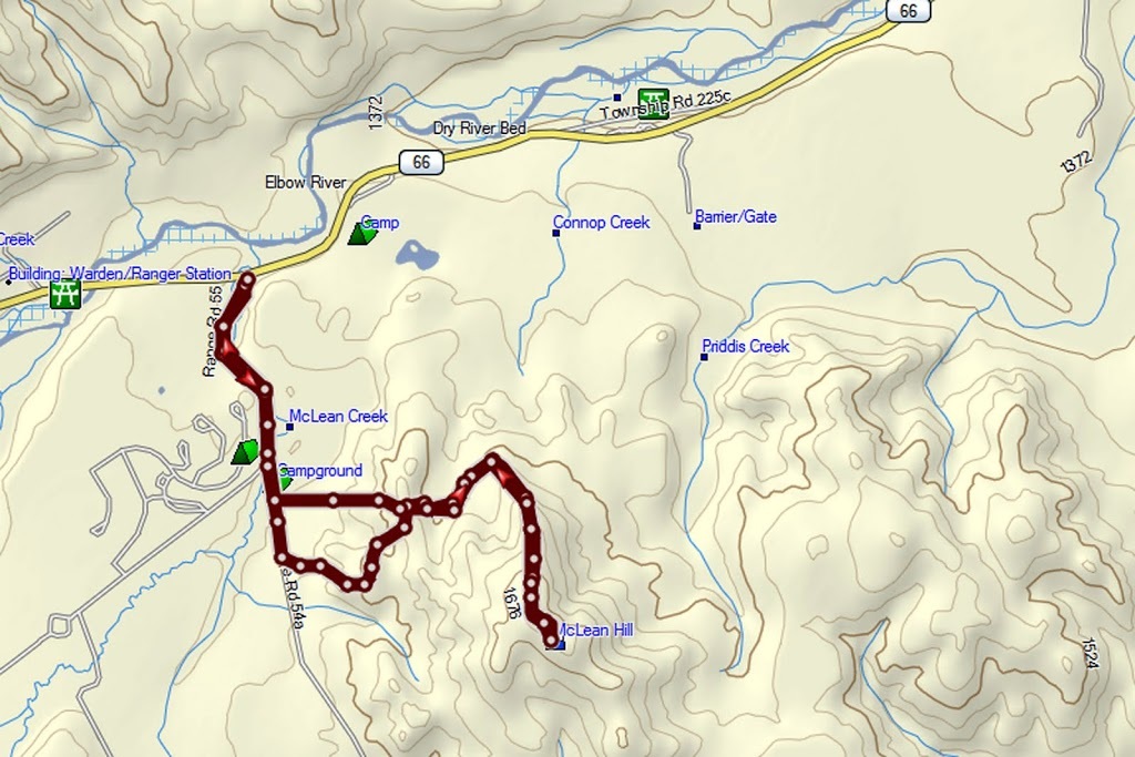
Distance: 5.4 miles (8.7km)
Actual Ascent: 1122ft (342m)
Time Taken: 2 hours
I had considered and dismissed this hike again and again until today, the route description in my guide book sounded convoluted and troublesome and there appeared to be little reward for any effort expended. That was until today, the Chinook winds had raised temperatures into +7 or higher for a few days, avalanches were pouring down all over the backcountry trails including one which tragically took the lives of two people snowshoeing up at lake Agnes on a trail I hiked about this time last year. Such things really do bring home the reality of exploring the rockies where, even on the most benign 'tourist trail' tragedies of this nature repeat annually.
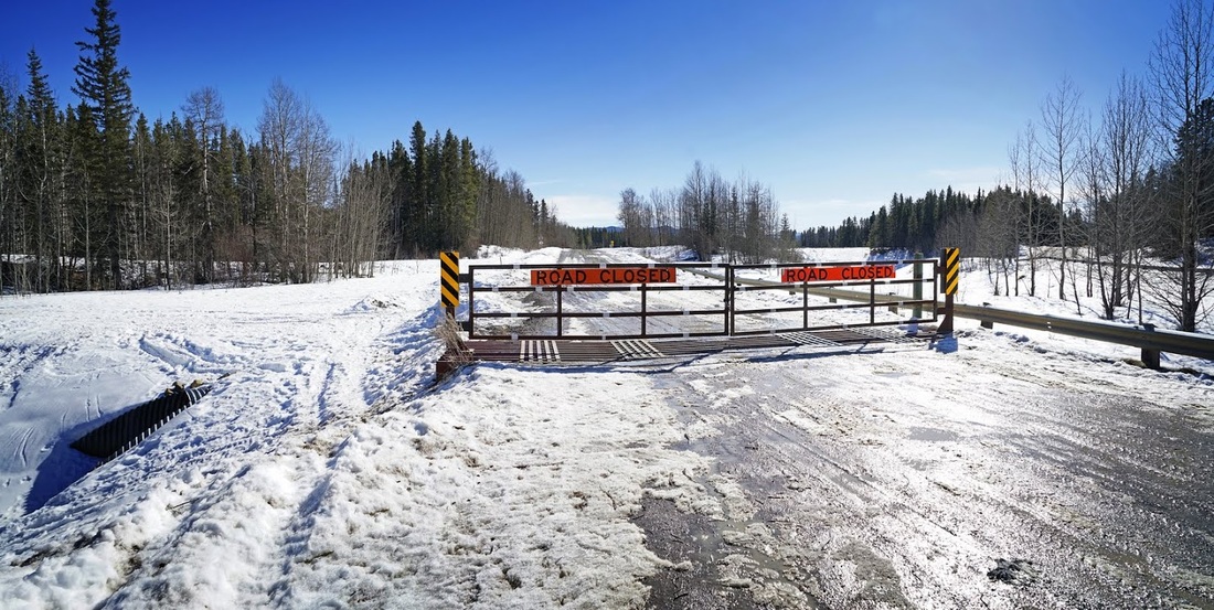
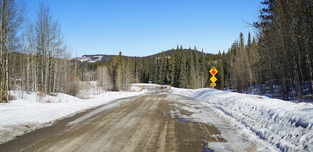
I decided to play it safe today and to take a look at McLean Hill, the road leading to the trailhead is still closed as part of the regular winter closure program. On arrival at the winter gate I sat on the tailgate of my truck enjoying the sunshine as I prepared myself for the off.
I decided to play it safe today and to take a look at McLean Hill, the road leading to the trailhead is still closed as part of the regular winter closure program. On arrival at the winter gate I sat on the tailgate of my truck enjoying the sunshine as I prepared myself for the off.
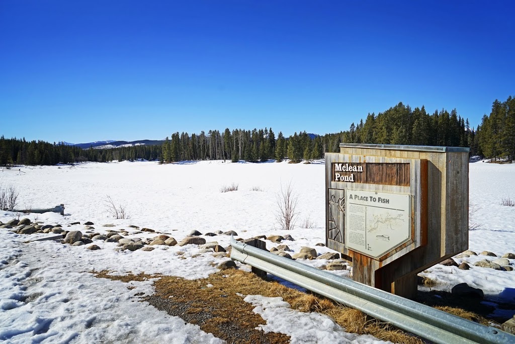
The first 1km is an easy wander along the closed road passing a good sized pond along the way, I didn't know this was here but as the sign informs me it is stocked several times a year I might just dangle a line here in the summer.
En route I pass a cutline that appears to be heading exactly where I want to go but I decided to stick to the original route and leave this as an optional return. After a little over 1km I find the unmarked trailhead opposite a group of tall birch trees close to a small creek and turn into the forest.
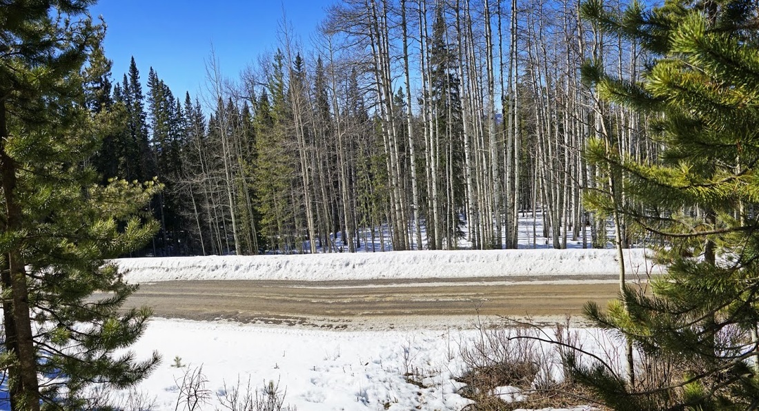
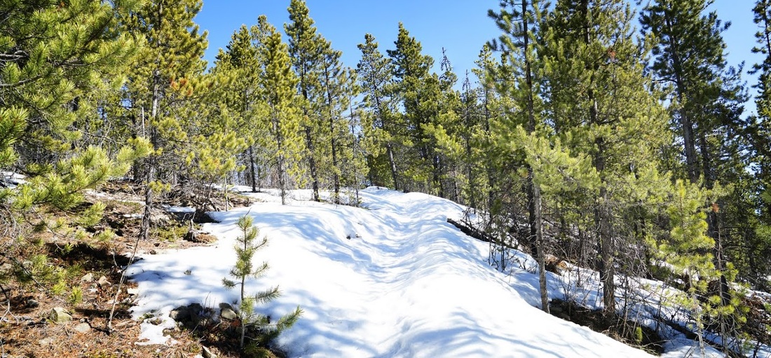
The going is really easy in the forest, the snow has melted to virtually nothing and there are old footprints here and there confirming the route, the ascent is constant but at an easy angle throughout.
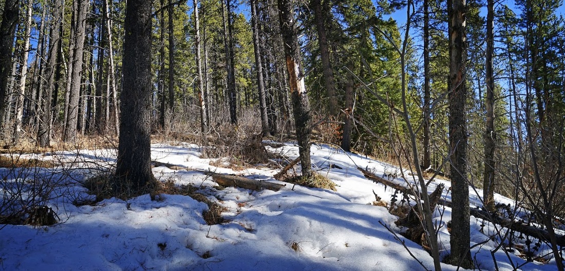
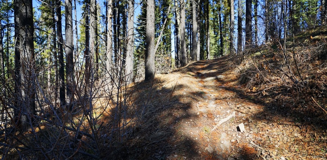
After ascending straight upward for a short time I reach a well defined trail that is clear of snow entirely and I can stroll along enjoying the warm spring sunshine, its one of those days that was meant for hiking.
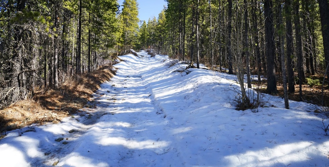
After heading back in the direction of the truck as I ascend, sure enough I come across that cutline that I had passed on the way in, the snow on it has been compacted by off-road vehicles which share this area with hikers year round so underfoot conditions are still easy going as I turn right and head uphill.
The cutline climbs steeply at one point and as I stop to take in a view back along the trail and have a drink I realise I have no drink with me, all that sitting on the tailgate enjoying the sunshine must have distracted me, as it's only a short hike I decide to make a snow-cone from some of the 'clean' snow in the forest and continue on.
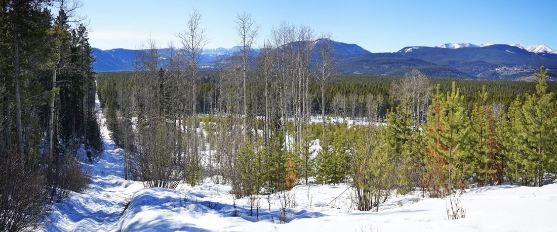
At the top of the cutline as it levels out a narrow side trail appears in the forest and snakes its way back to the east along the ridgetop, others have been here before me levelling the trail and there's plenty of 'snow-cone' availability, so it's a lovely hike along the ridge.
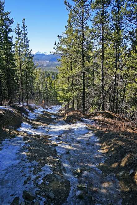
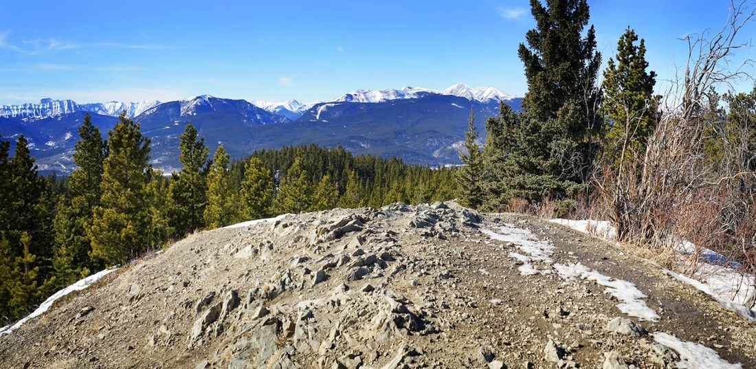
As I near the summit the trees become a little more sparse and I can see over the tops to Nihahi Ridge and Moose Mountain in the distance, the snow is a little deeper along this final section where wind has whipped up a few drifts but only for a very short stretch.
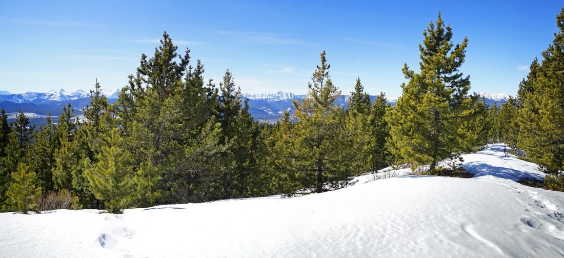
As I ascend the last few feet toward the summit I'm able to zoom toward Moose Mountain (right of shot) and Naihai Ridge (left of shot), it's a beautiful panorama across the wide forest and well worth the short hike to get here.
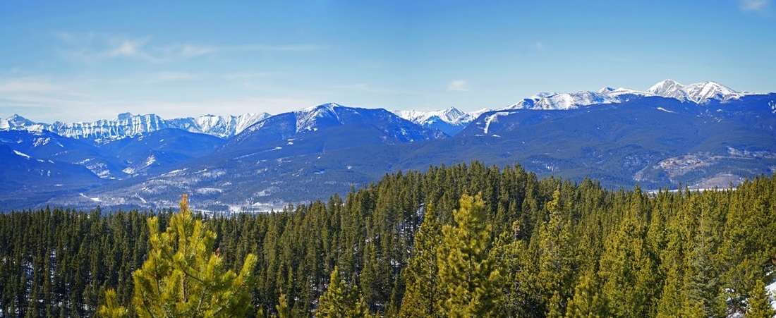
The rather unimpressive summit of McLean Hill only stands at 1731 m (5679 feet) but it has views to the east across endless forest toward the prairies and to the south (though the northern view is blocked by trees)
To the west Moose Mountain looms large over my small stoney lunch location for the day, sitting here in the sunshine with yet another snow cone it would have been easy to stay for hours, but I settled for only enough time to eat lunch and absorb the views before heading back along the ridge.
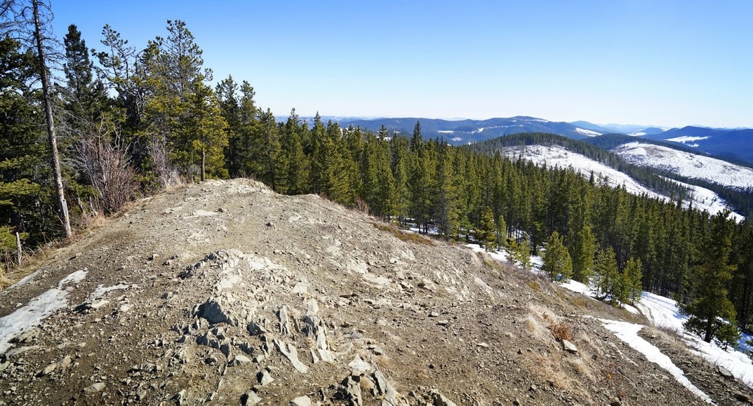
As I descended the cutline I ignored the turning for the trail I had ascended on and pressed on straight down the hill. There was only one very steep section and all of it was well compacted by the off road vehicles that have clearly been enjoying this location throughout the winter months
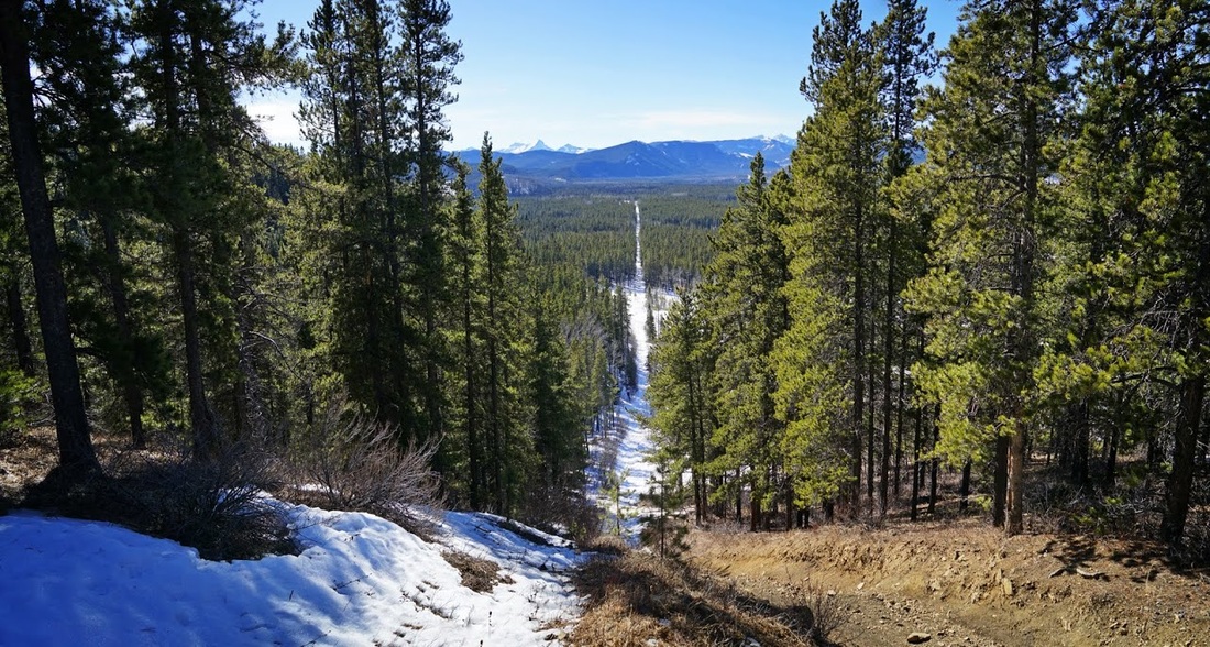
It is a more open descent which makes the whole route much more enjoyable, I would certainly recommend anyone considering this hill to take this route rather than a straight out and back approach.
The cutline eventually comes out exactly where I assumed it would and in a very short time I'm past the pond looking down at the winter gate and my awaiting truck.
I dug into my water rations as soon as I got back and enjoyed a little more tailgate sunbathing before heading home.