Porcupine Ridge + Creek (North Fork) - Winter
Date Walked: 7th February 2012
Distance: 5.9 miles (9.6km)
Actual Ascent: 2424ft (739m)
Time Taken: 5 hours
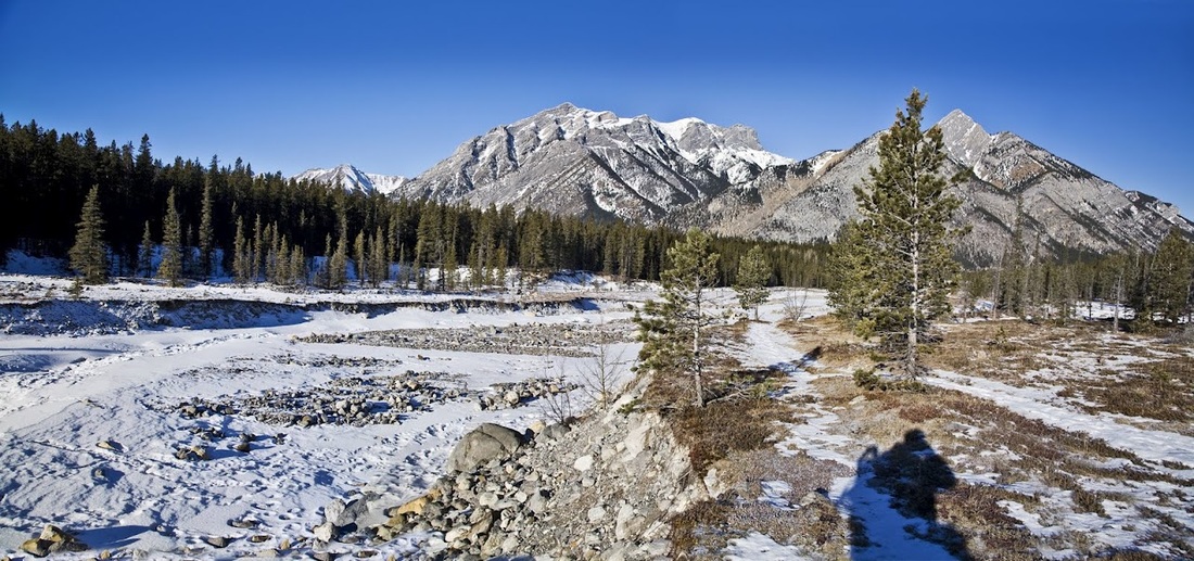
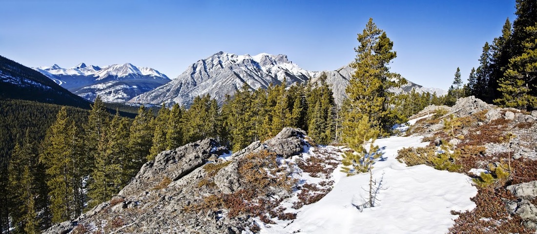
When hiking Wasootch Ridge last week I looked North toward Porcupine Ridge and liked what I saw, it looked to have more height and a few scrambles. When I got home I used GPS software and hiking publications to find the details and though there was some suggestion of it being difficult in winter I still fancied it, after all this was a very mild winter by Canadian standards. Bearing in mind my promise to Sarah that I would take no risks when out alone I set off for Kananaskis confident that I would simply turn back if conditions were difficult.
The map below shows I didn't turn back and instead made a nice loop dropping down from the Eastern end of the ridge to the North fork of Porcupine Creek and walking out that way..... though this was more by necessity than any sense of adventure!
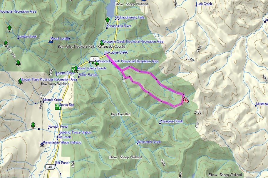
All of the publications and internet info on this hike skilfully avoided identifying any parking at the start and simply said "starting from Porcupine Creek Bridge on Highway 40" As I suspected this meant dropping down from the highway onto a flat area that others before me had deemed to be a 'parking area'.
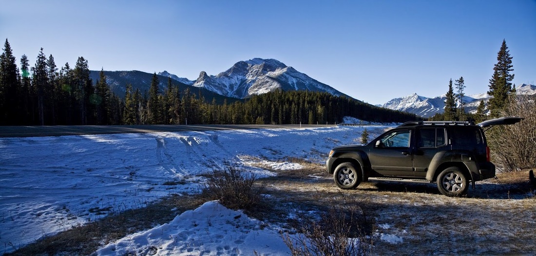
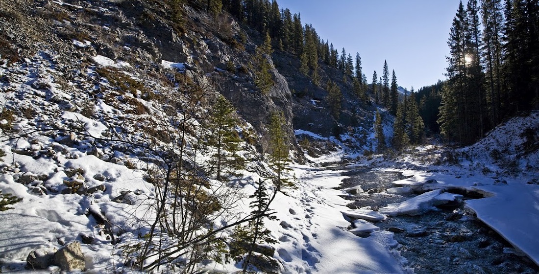
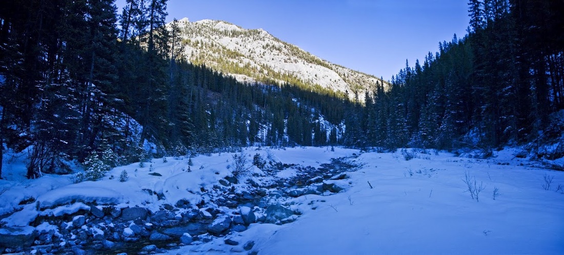
Once I had found a way to strap the snow shoes onto my back pack that was comfortable I set off across the road and along a few hundred yards south to the trailhead beside Porcupine Creek (which later splits into North and South forks)
it was another wind free day as I set out along the trail but I could still feel every degree of the -14 that was showing in the truck as I arrived, but the sun was already rising above the range and it was clearly going to be another beautiful day in the foothills.
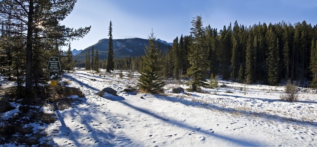
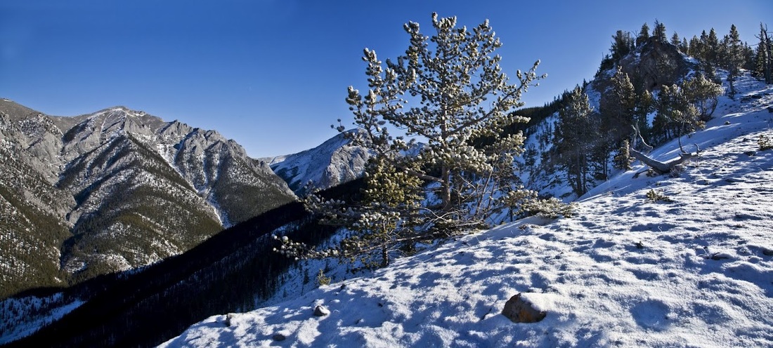
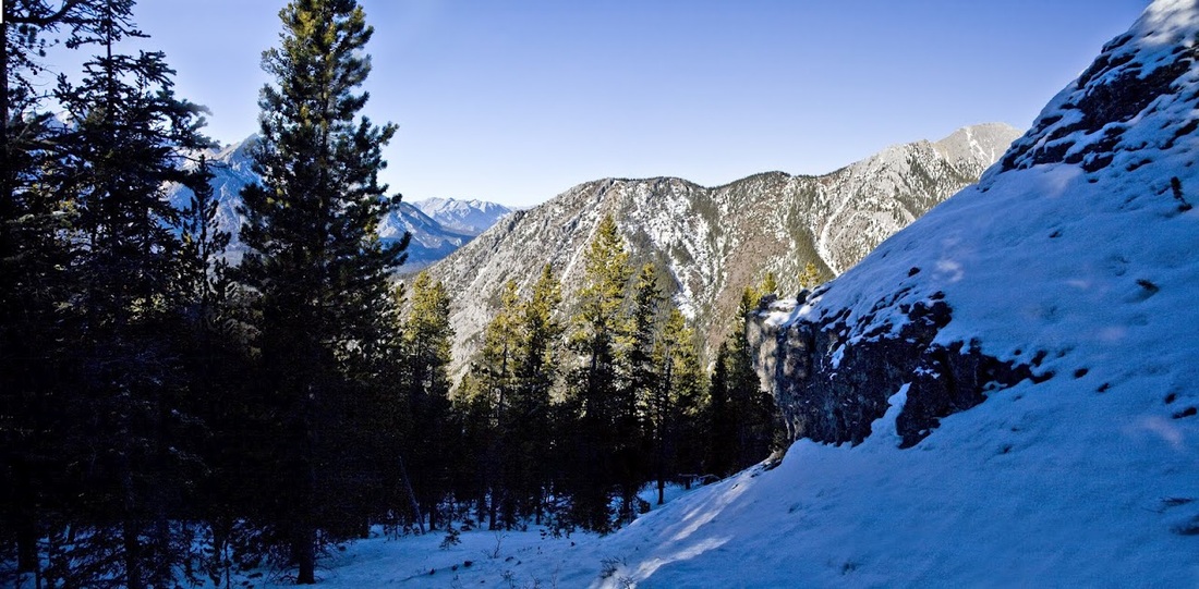
It's an excellent path adjacent to the creek and I covered the ground quickly, I stopped before a tight turn to grab a photo looking back toward the now familiar face of Mt Lorette. It is nice to start identifying mountains by sight as it gives much greater confidence when out hiking alone.
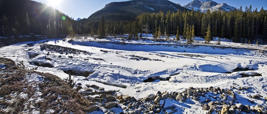
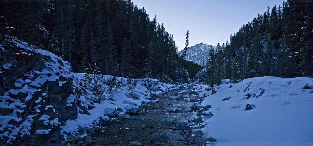
The good path disappears as I start up a steep sided gully but the frozen footprints of others before me ensure I still have firm footing beside the icy creek.
After 1.5 km I reach a wide shallow stretch where the creek splits into the North and South forks and between them lies the ridge I'm aiming for today. Unfortunately this is where the previous pathfinders and I part company as the footprints make off along the North fork, my guide book says to follow the south fork a short way to find the ascent path for the ridge.
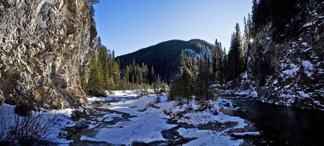
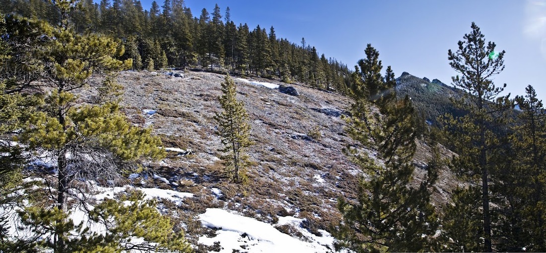
I followed the South fork for a while through deep snow without finding any sign of the trail so I gave up and just made a direct assault on the south side of the ridge, it was incredibly steep and made from the local razor sharp moving scree that made for a strenuous initial ascent.
The up side of a direct ascent is the speed at which the views open up and soon I reach a nice open plateau where I can regain my breath (strenuous effort still causes a lung bursting altitude response here)
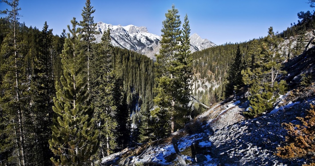
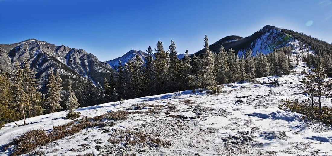
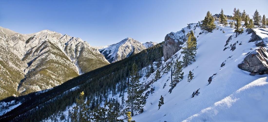
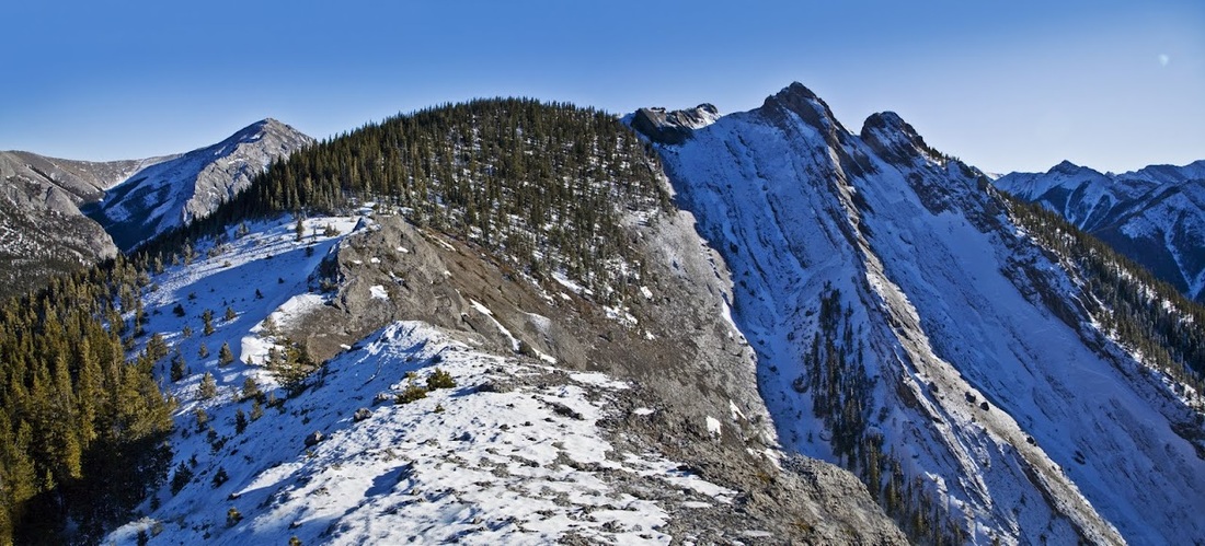
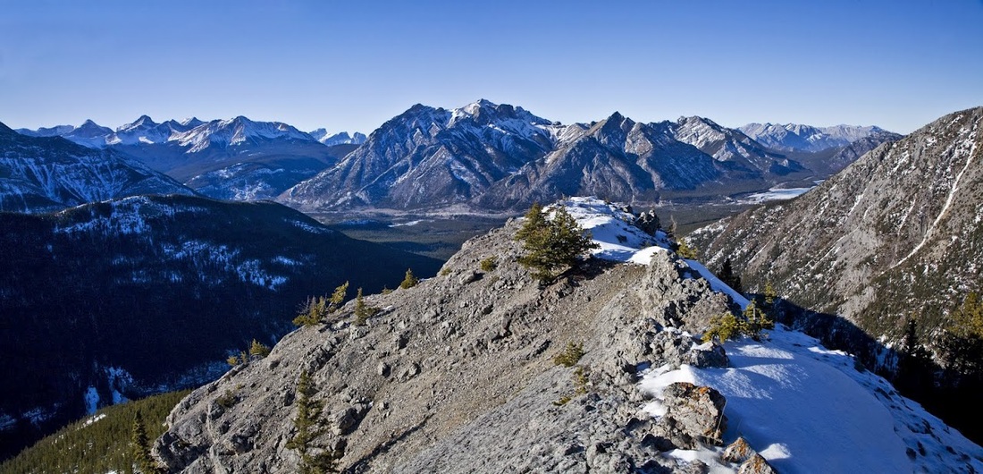
turning forward again there is a nice dry solid slope to cross to reach the trees again and away to the East (right) the three pinnacles I'm aiming for today.
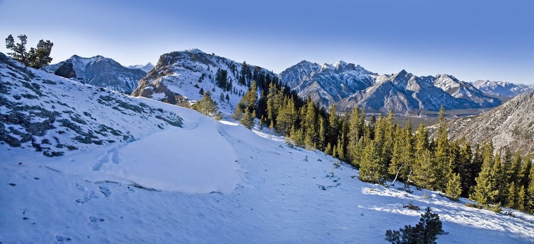
As is always the case when hiking a stretch of good going is followed by the nightmare combination of deep snow / forest / descent before re-ascent
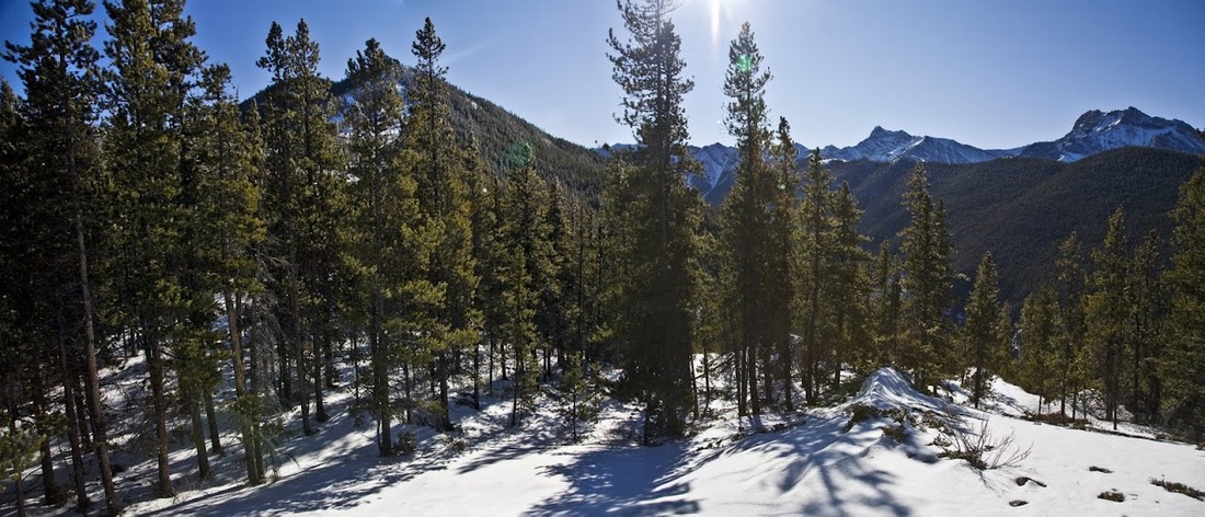
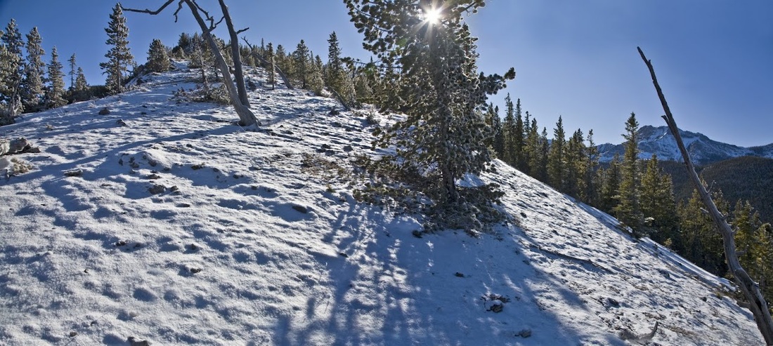
but this time I'm equipped for it, I take a minute to put on the snow shoes and enjoy a comfortable wander through the snow covered forest and back up to the first step of the ridge ascent.
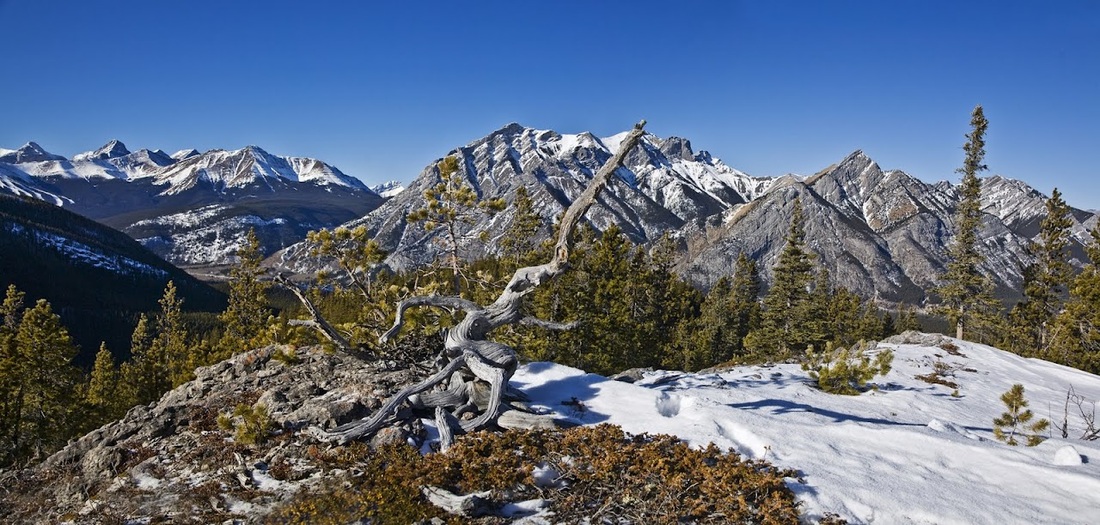
up on the ridge now I stop for a quick drink and to take a shot of this twisted tree skeleton still clinging to the mountain, I know how it feels : )
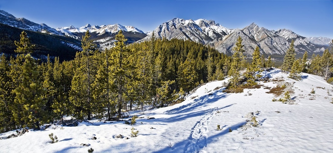
back on the trail again and up another steep but short rise and I am closing in on the target for the day, the snow has thinned out and I'm going to have to scramble soon so I take off the snow shoes strap them back on the pack and set off for the summit, still some distance away (though it looks much closer)
it's another steep ascent as the ridge narrows but all ascents round here seem to be direct (I miss the gentle rolling hills of the Cairngorms) the trees up here still bear a thick frost from last night on the shaded sides and the temperature reminds me where I am each time I stop for a breath.
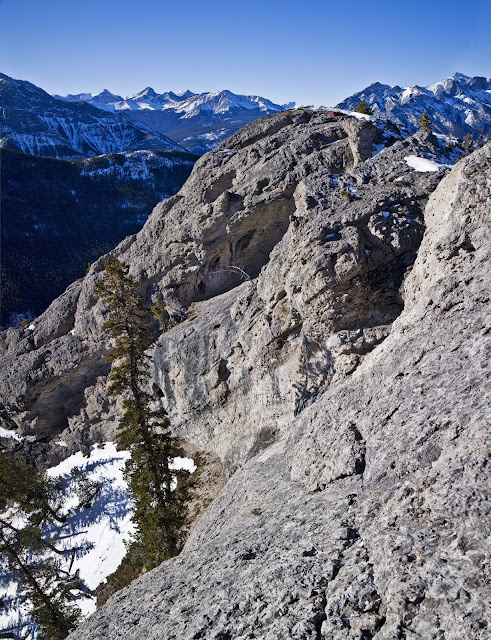
a steep climb and a tricky little scramble that had me worried as I started a rock slide were soon forgotten as I stood on the first pinnacle looking back down the ridge.
After a short wander across an ever narrowing ridge the second pinnacle is soon in sight, the snow is a little deeper here but not by much
rising to what I thought was the second pinnacle just provided me with a better view of the second pinnacle as the ridge tightened further
the effort at this point felt immense as I cursed the altitude and its affect on my breathing (worsened greatly by the exertion of scrambling) I made a direct attempt on pinnacle 2 that looks straightforward enough from here but at the top of the crease is another scramble to a very narrow top
from the top of the second pinnacle the narrow snow covered ridge shows itself and the tension in my legs remind me how hard I am working to balance and remain balanced, on a windy day this would be a definite no go area.
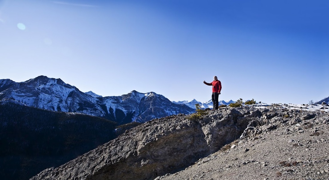
forward now just a little further until I'm rising to meet the last of the summits blowing like a whale that has surfaced after 2 hours under the sea.

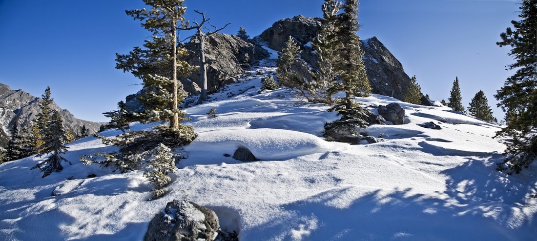
then at last the ridge flattens out and I'm there at the final summit, I find a nice spot to drop the gear and explore the top that protrudes in a 'Y' shape
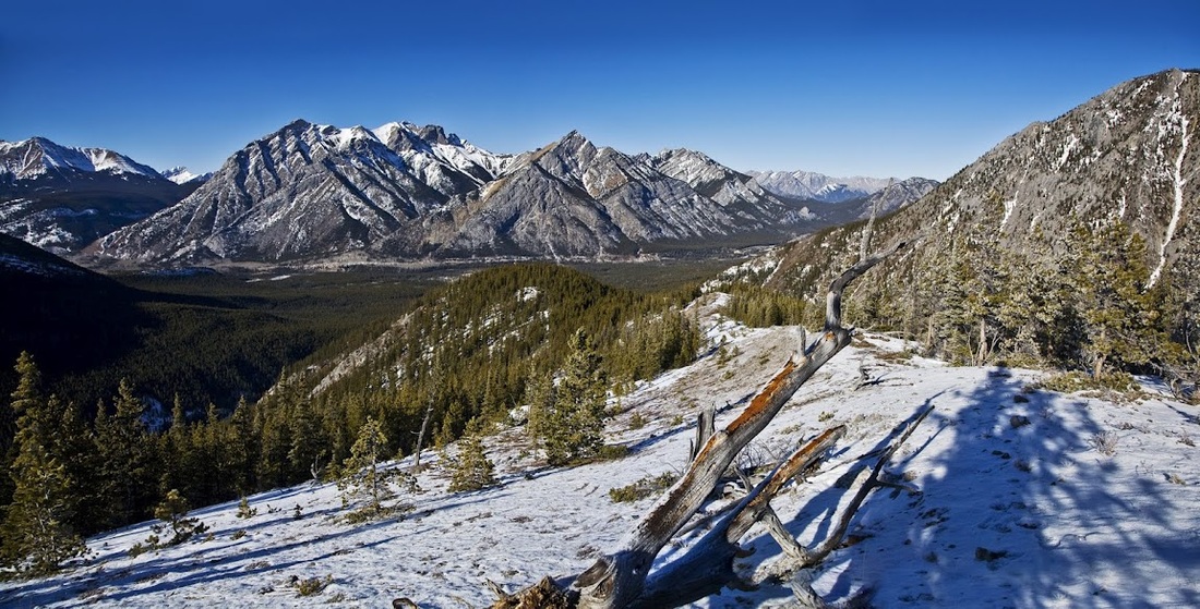
I take a walk a little further East to see if it is possible to descend that way and drop down to the North fork of the creek below as I feel attempting the ridge in reverse may be too risky with tired legs. I see one moderate scramble down to the col where I can arc round to the North and drop through the forest.
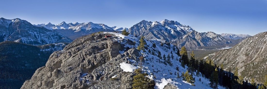
this shot gives a far better view of the pinnacle I was striving for, the red dot is my gear on the summit, over here is the way I will go to descend.
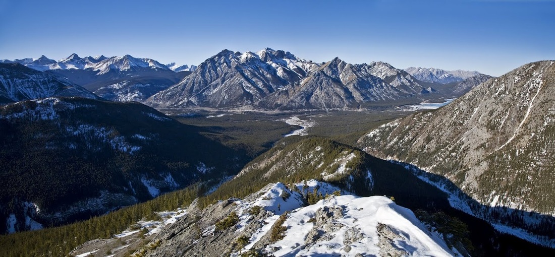
for now I take a moment to enjoy the spectacular scenery all around me, with no wind at all it is still relatively warm up here as the winter sun beats down
the western end of the 'Y' shaped top would make a spectacular photo spot with Mt Lorette directly behind, I should have thought of that on the way in : )
after a good long rest up top I pack up and head East and down the least precarious descent (which still has some dicey moments) and I am soon on the col arcing round to the North looking for a good point to descend
I select a spot that gives me a reasonable run in with fewer trees, the snow is incredibly deep in places as I bound down the steep slopes using trees to stop myself frequently, I partake of a few bum-slides where I can until I slide right into a ravine and sink to my chest, snow is going down my neck, my rucksack is weighing me down turtle style and my camera has detached itself and is somewhere in the hole with me. It took a huge effort to drag myself out of that ravine taking almost 30 minutes (after digging camera out and emptying snow out of everywhere) I stopped the bum slides after that and went back to bounding : )
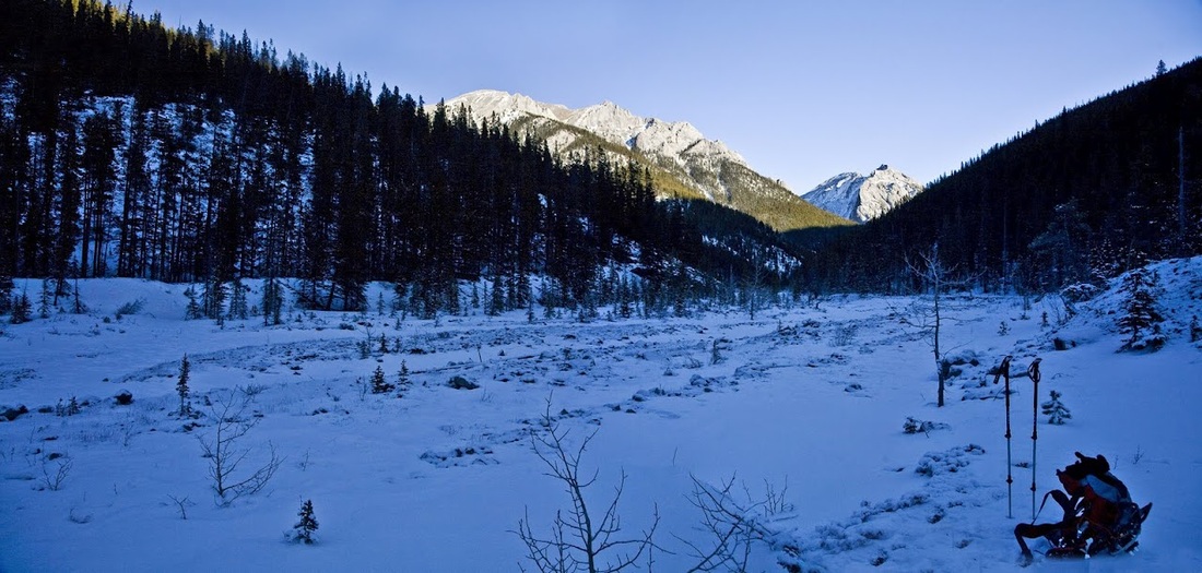
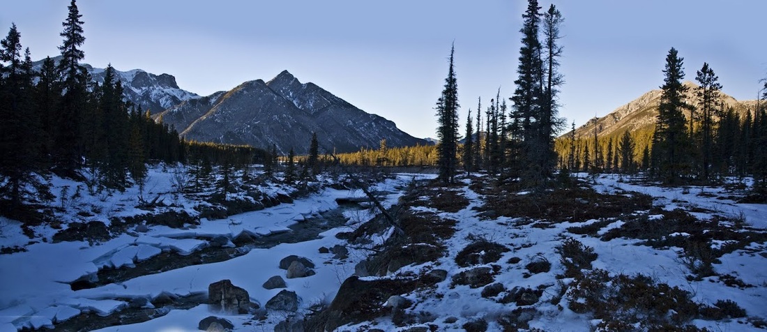
eventually I fell out into the creek grinning from ear to ear, I dropped the gear and finished off my flask, until the shadows got longer as the sun began to set. To the East I liked the look of the creek hike (but not for now)
I turn to the West and head off downstream, surprised to see water rather than solid ice up here, I assumed the constant shade would have maintained ice on the creek, I walk along the 'shoreline' avoiding the snow and the water
as the sun sinks further behind the mountains the still air of the long valley cools incredible fast and there is a real chill to it as I approach the fork where the creek becomes one, after several crossings I finally 'break my duck' cracking through a short frozen section and into the icy water just less than knee deep, luckily I had my gaiters on and didn't notice anything until back at the car.
after a strenuous day I was pleased to see the short stretch of trail that led back to the car and the last chink of sunlight through the pass.
I suppose Sarah may think I took to many risks today, I think I played it just right as I recognised the potential for a disaster on the descent and found another way so I avoided risk taking....sort of.