Beaver Lodge Elbow River - Winter
Date Walked: 28th January 2013
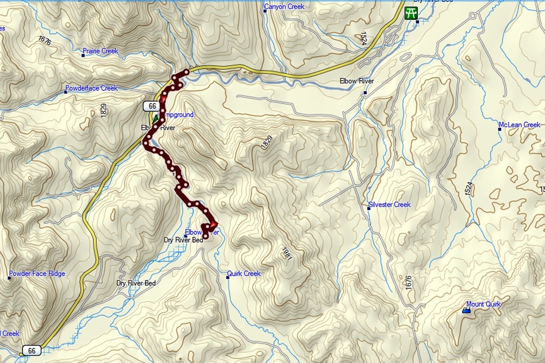
Distance: 7.7 miles (12.4km)
Actual Ascent: 1381 ft (421m)
Time Taken: 3 hours
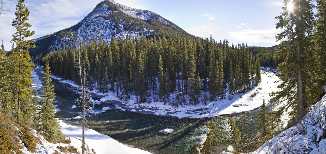
It was such a beautiful day today I decided to take my camera and go down to Elbow Falls and see if I could find some nice shots of the area. After hiking two mountains late last week I didn't fancy another just yet, so I didn't actually intend to hike anywhere today but on arrival at the winter gate on highway 66 I looked along the closed section of road and thought to myself 'maybe I'll just have a little wander up here' .
I set off along the road with no rucksack, supplies, map or compass. I did have a bottle of water and some sweets on my utility belt though, and my trusty gps. I managed about 500 meters before I decided to drop down off the road to an area called Beaver Lodge. I had seen this signposted as I drove by numerous times but never actually visited, as I was walking past today I thought I would just take a quick look.
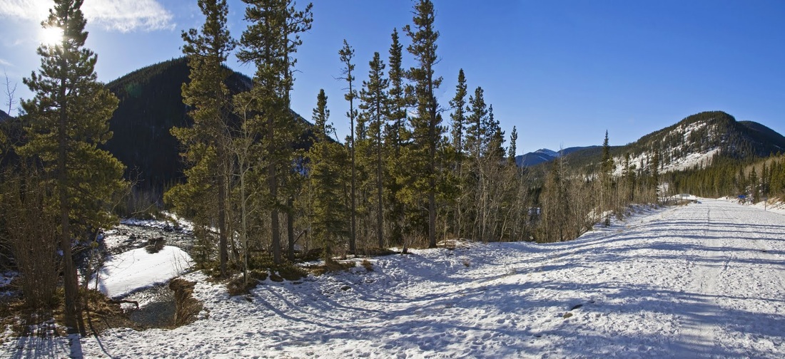
The snow was pretty deep in places but my trousers have snow cuffs at the bottom so most of it is kept out of the boots even when knee deep. Temperature when I left the truck was -8 so a perfect day for a gentle wander with the camera.
I don't know if there are still beaver in the area though local information boards suggest there are, I didn't see any sign of them today. I will be interesting to come back in spring/summer and see if I can grab a shot of them.
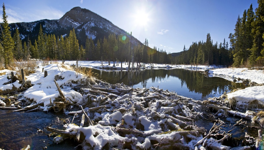
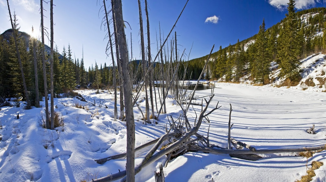
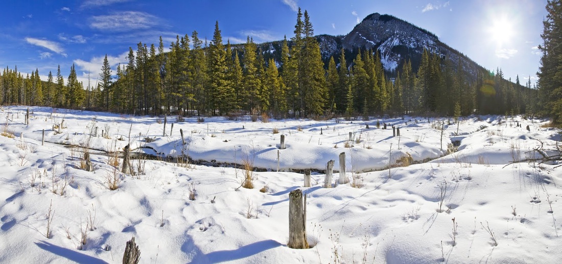
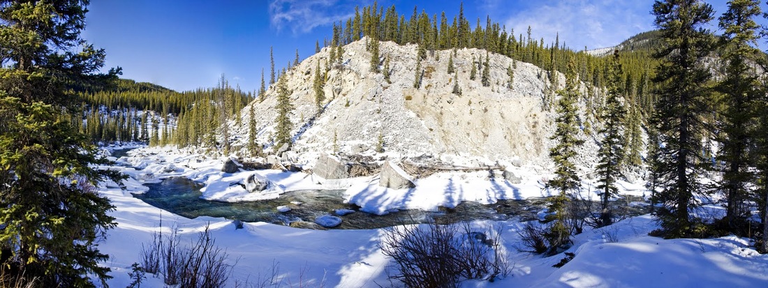
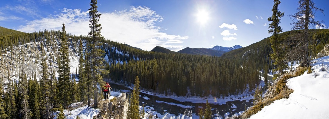
there are still dams and long channels dug into the soft earth suggesting that beavers were certainly here very recently. At this point the hill behind the trees starts to look interesting, the foothills only reach 6000/7000 feet but make great ascents at this time of year.
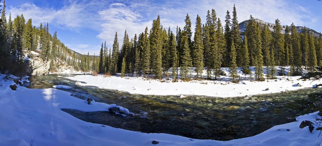
I decide to carry on upstream and try to identify a route across the river to the peak opposite, from this side there are a series of large verticals that would be very difficult to ascend from here so I carry on hoping to find a more suitable ascent around the other side. (not for today as I am not equipped, but maybe later in the week)
The river spreads and closes out my easy walking forcing me to scramble up the bank using the trees for assistance.
from up above the tree line the hill opposite becomes much more interesting showing a long ridge running along the southern side (the same ridge that prevents access from the western slope) I decide to walk upstream to see if there is a route from the south-east.
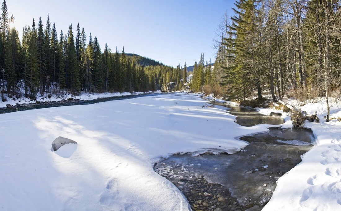
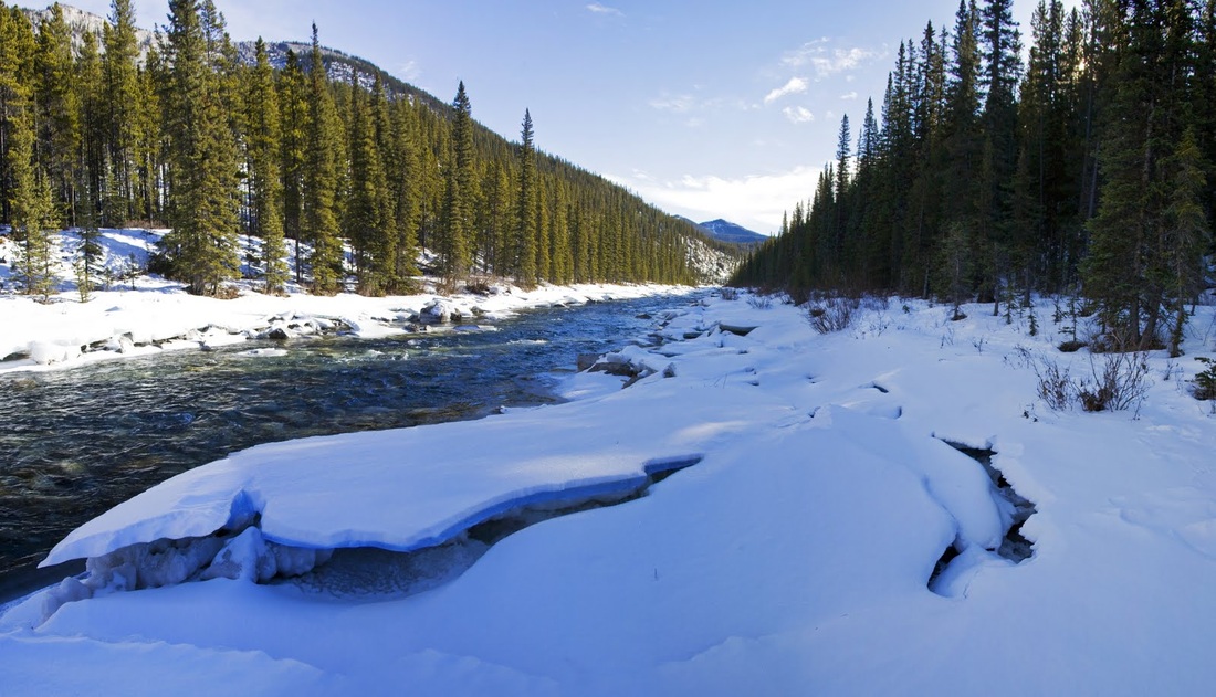
I drop down to the river again and use the iced edges as a path where possible, if we could just get a week of -20's this would be frozen again and crossing would be a doddle.
I still find it strange that it is so cold yet the river continues to run, with the iced edges creaking beneath me I move inward a little and find a previously trodden area where someone has passed through in snowshoes which saves me getting over boot depth in the snow again.
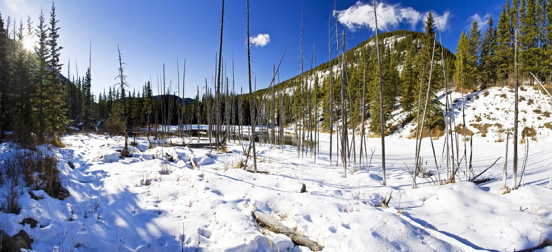
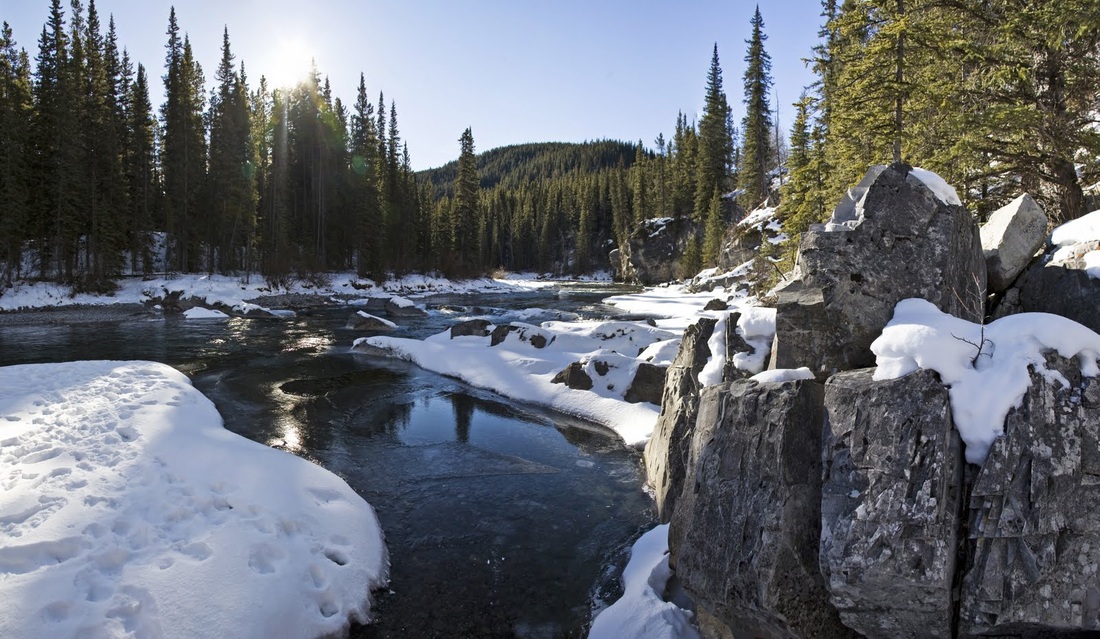
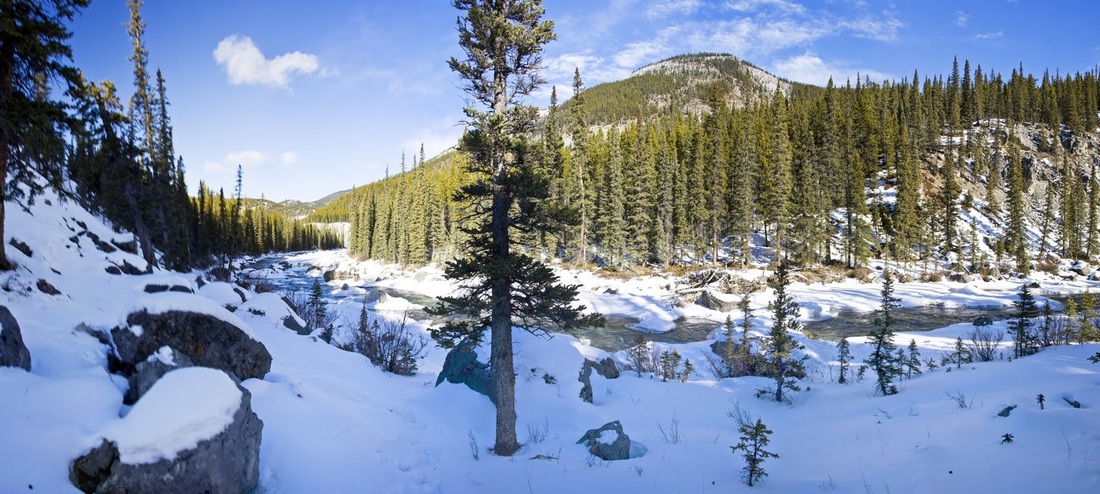
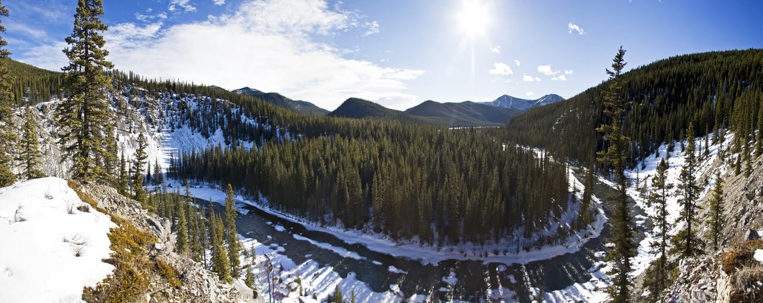
the river twists and turns through the foothills but the going is pretty good and it is a beautiful day to be out in the hills. In some places the river narrows to a stream but never quite enough to cross over.
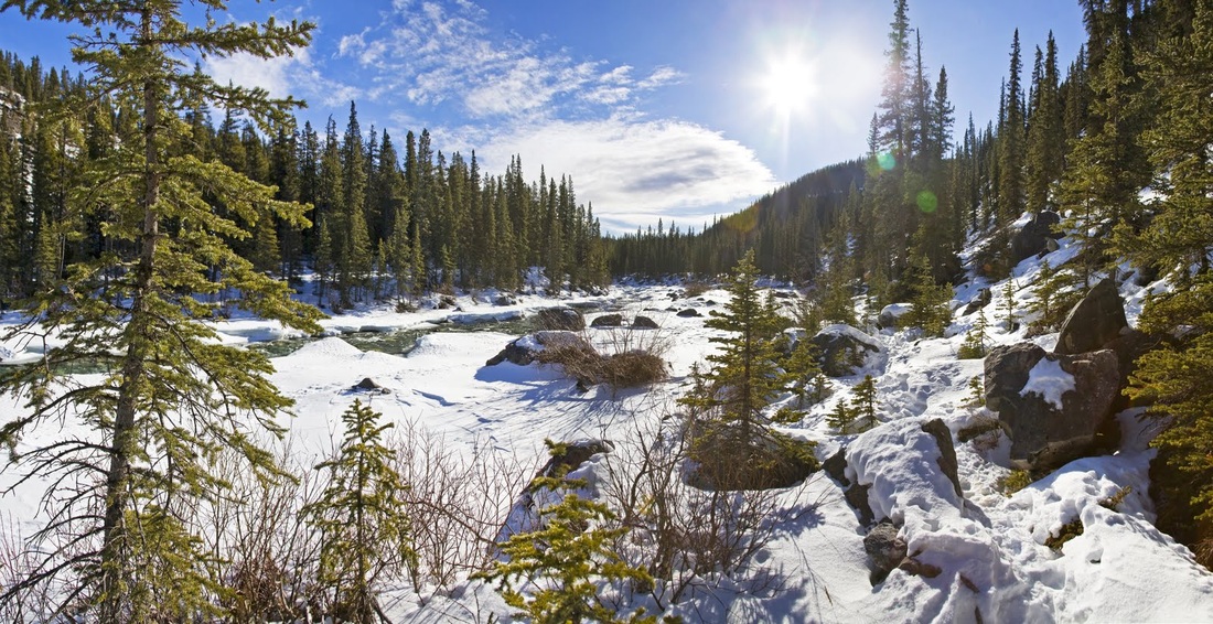
The further I go into the wilderness the more I can see of the south-east section of that nameless hill, from here I think a route up the s/e flank would be achievable even though that damn vertical ridge is still there.
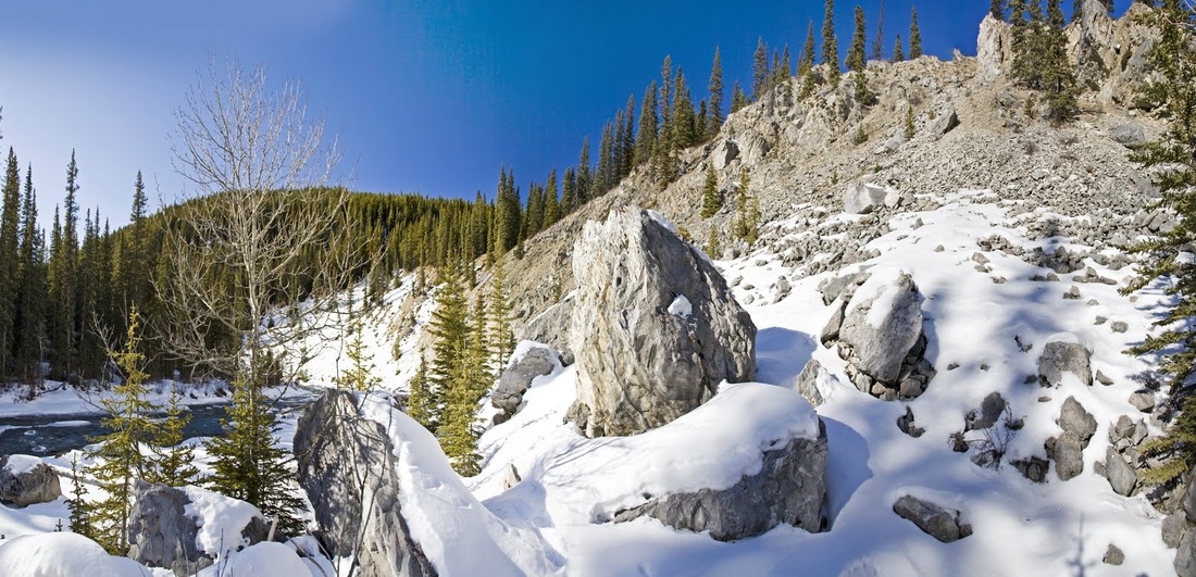
finally I'm well clear of the hill and can look back on the s/e flank, though it looks like a forest covered slope in the photo close viewing shows that damn ridge encircling the peak though a route up the s/e flank to the ridge is now looking easy and following the ridge would likely result in discovering an access point somewhere.
Even though I have now seen as much as possible of the hill I decide to keep going a little further and see if there is an ascent I can make before returning to the truck. After rounding another corner I find a slope bathed in sunshine and virtually clear of snow, obviously I'm going up it.
From here the ridge on my unnamed target is more clearly visible but there does seem to be a more gentle slope coming in from the east, I feel like I've discovered something as I stand looking out over the foothills.
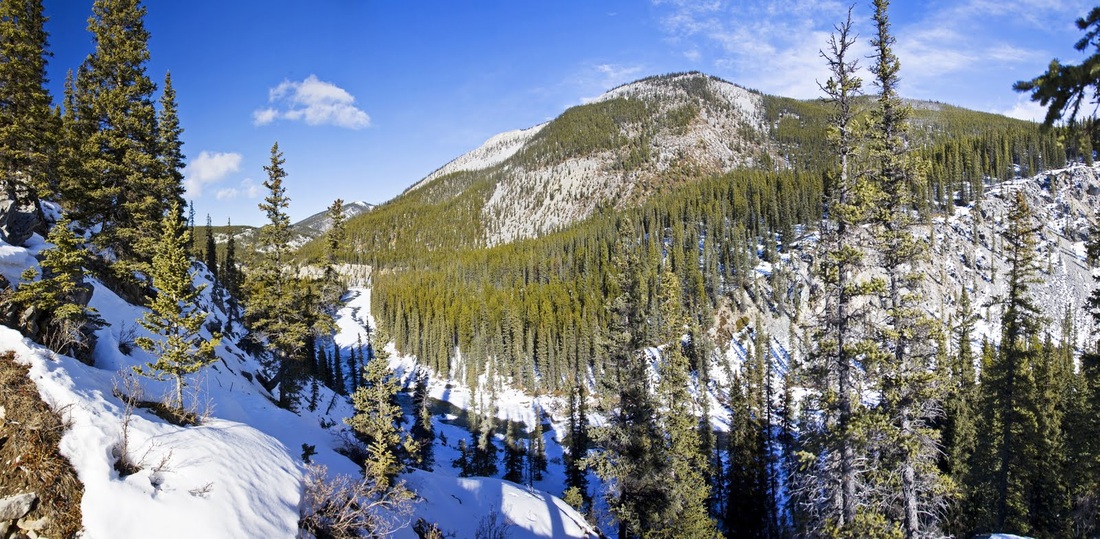
I tried reaching a rock pinnacle for a photo but without my poles for stability I couldn't move fast enough for the 10 second timer, but the resulting photo is worth including as it shows the scale of the area.
I hiked the ridge a little way to grab a shot from the corner before calling it a day and following the same route out and back to the truck.
When I got home I looked at all the info I have on the area but can't find a name for the hill or a route up it, if nothing else I'm going to have to hike up to that damn ridge and see it I can find a way through, maybe I'll wait until summer, wade the river and take a rope to make a real effort on the summit of this engrossing little lump.