|
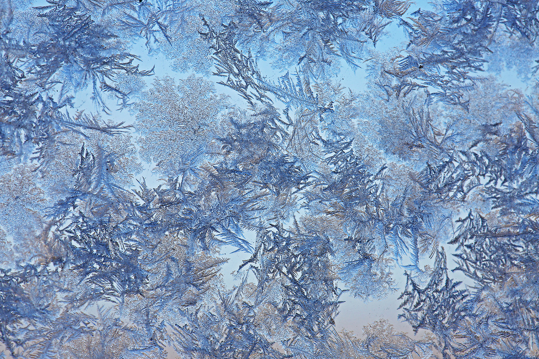
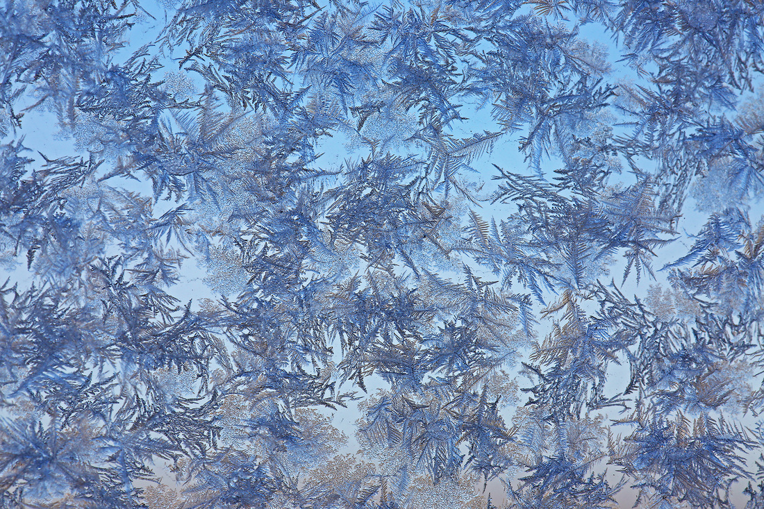
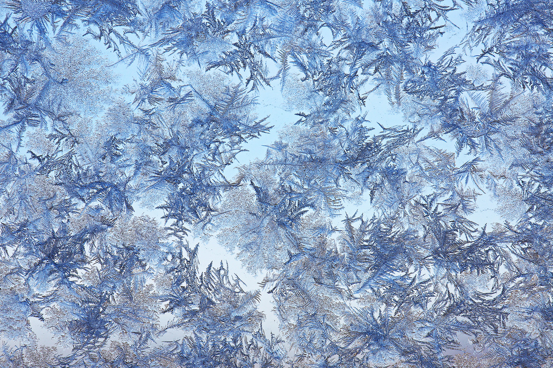
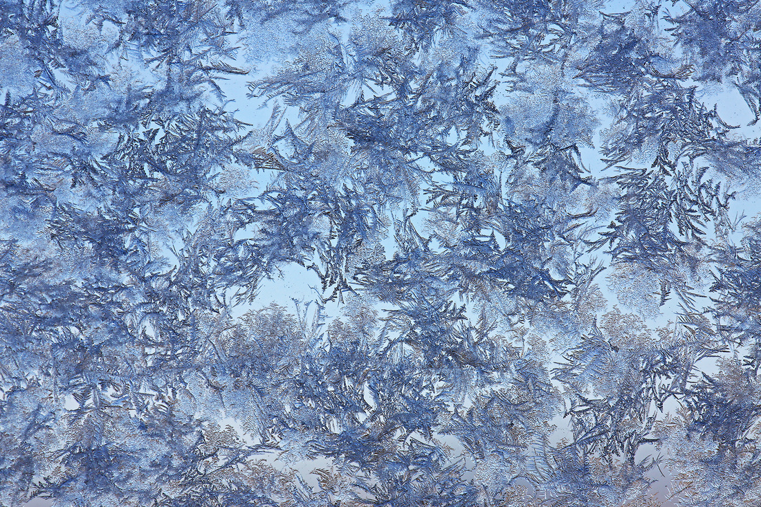
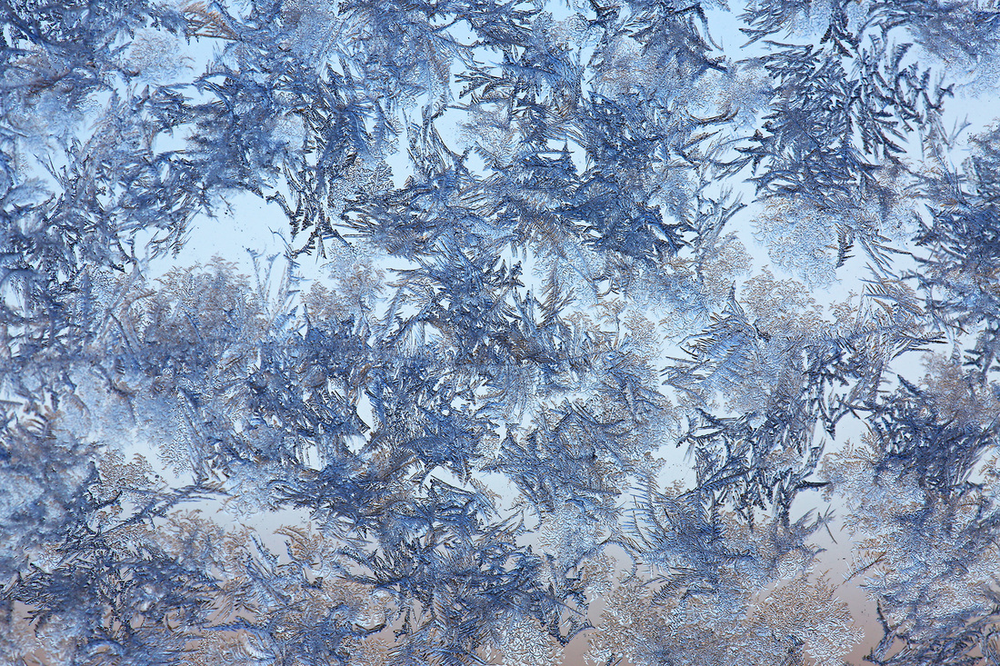
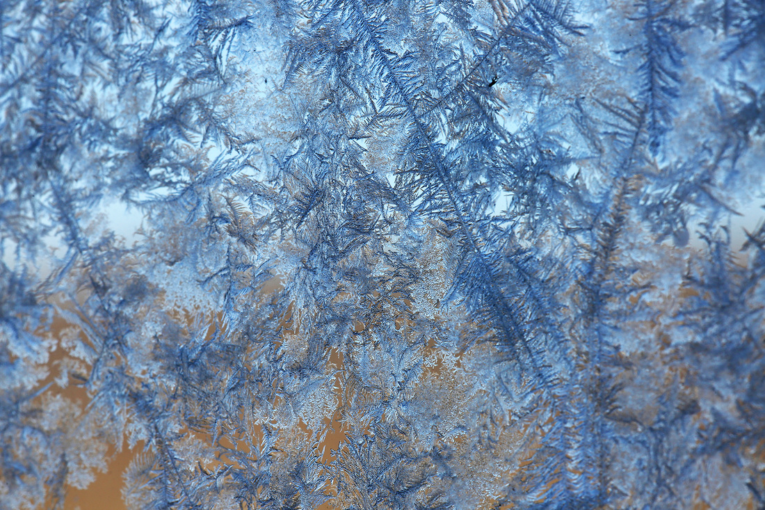
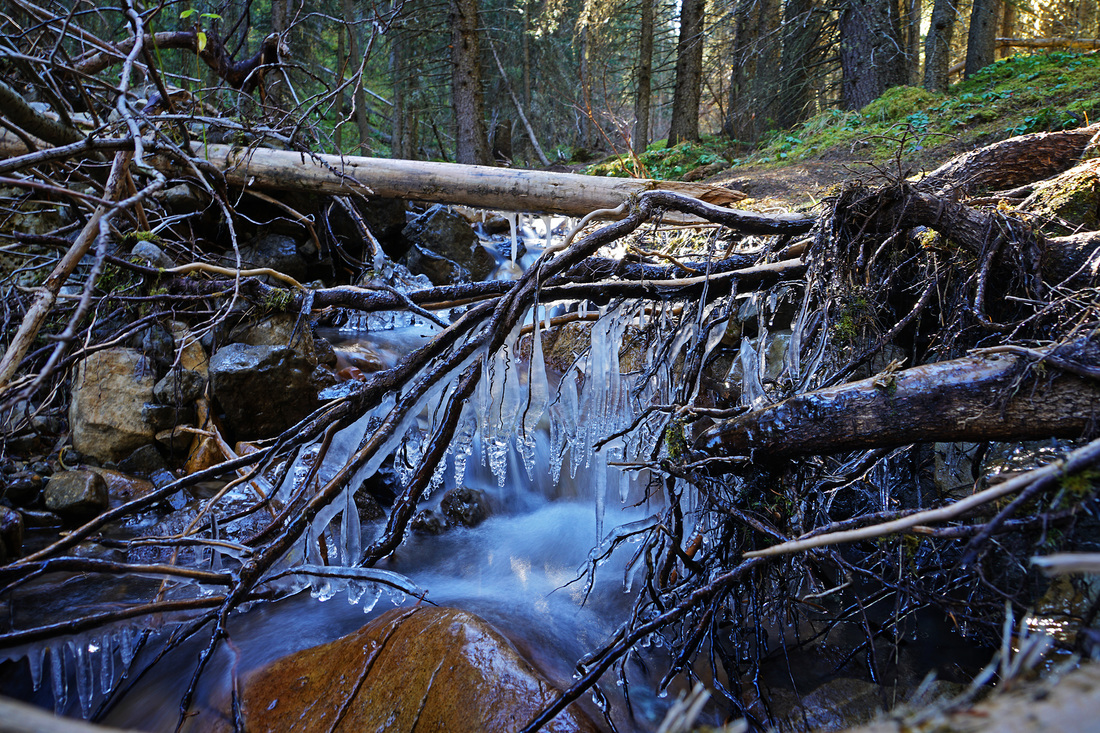
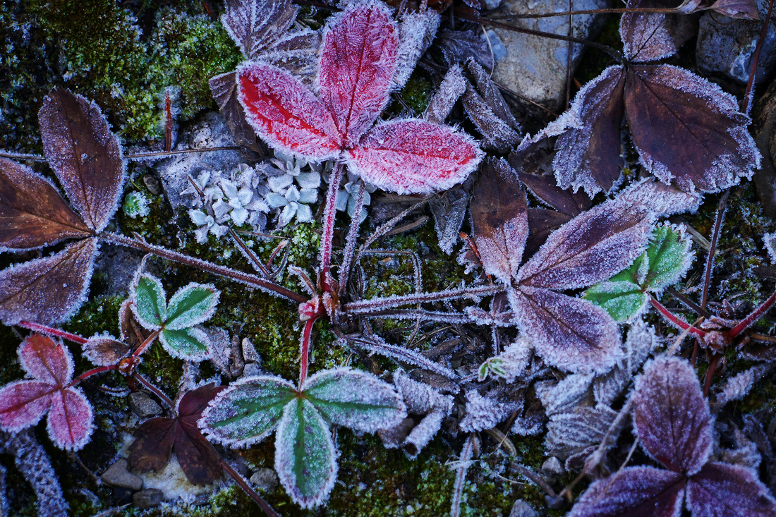
As daylight arrived this morning it illuminated some beautiful frosty fir tree shapes on the glass balcony at the back of the house so I thought I'd capture and share a few before they melted away. 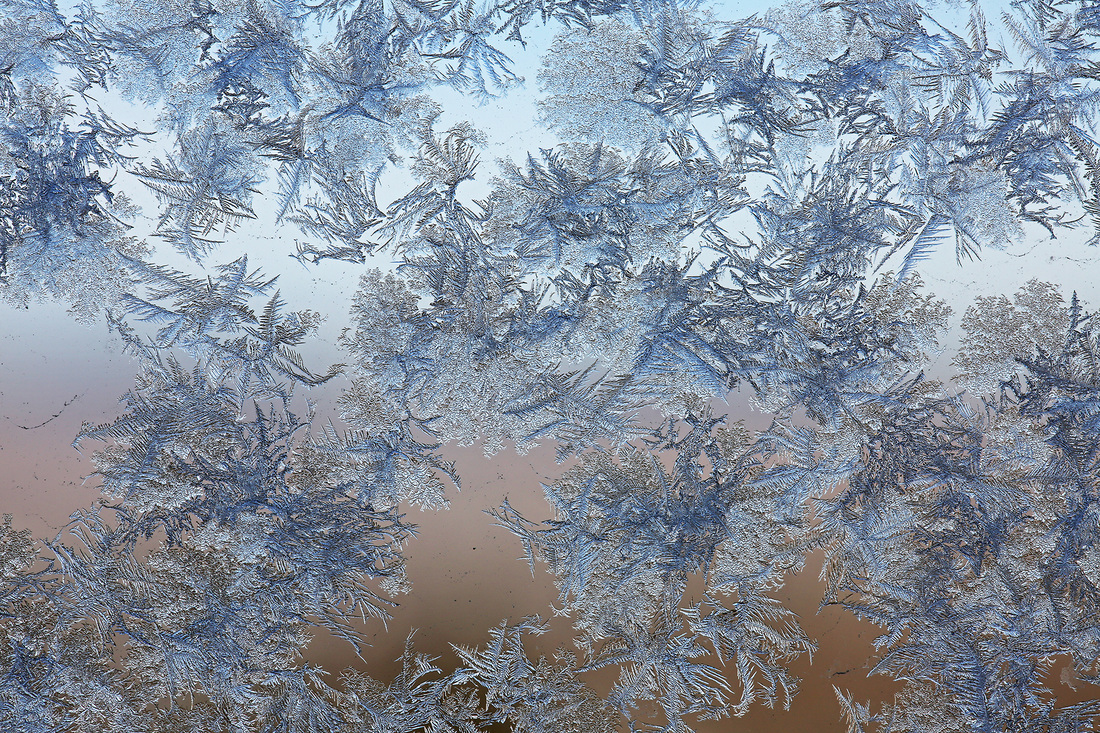
4 Comments
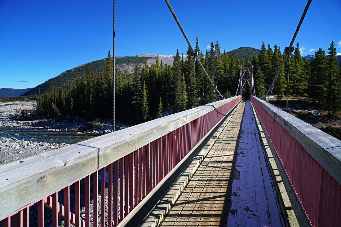
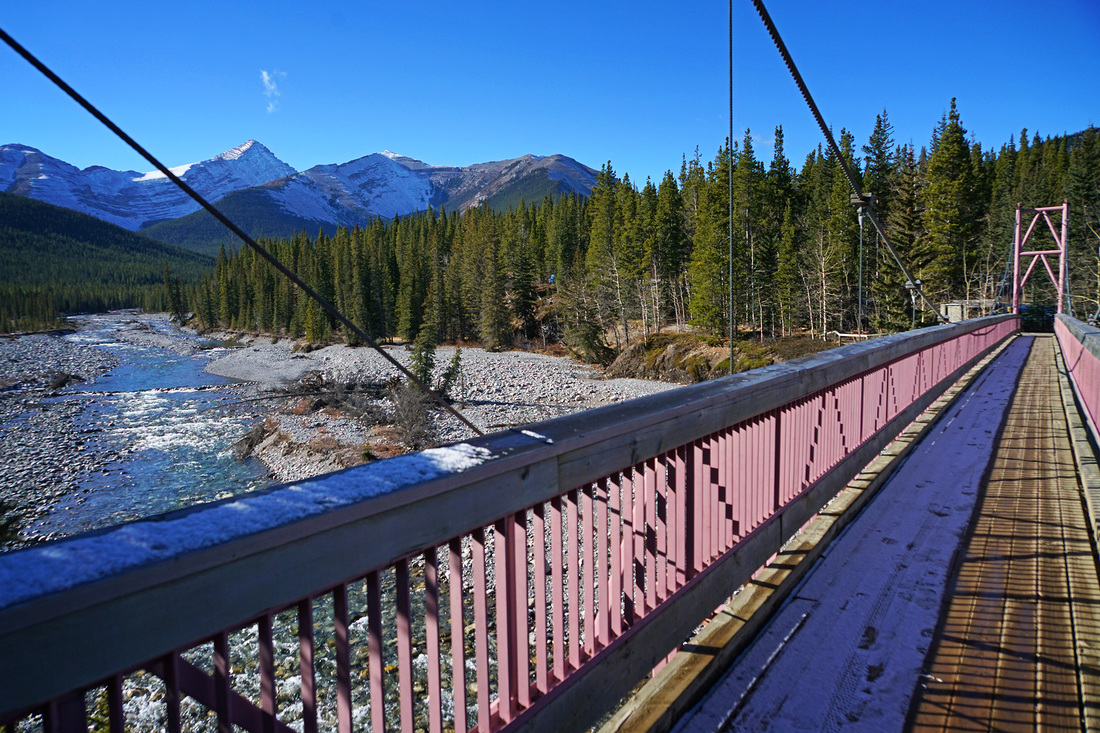
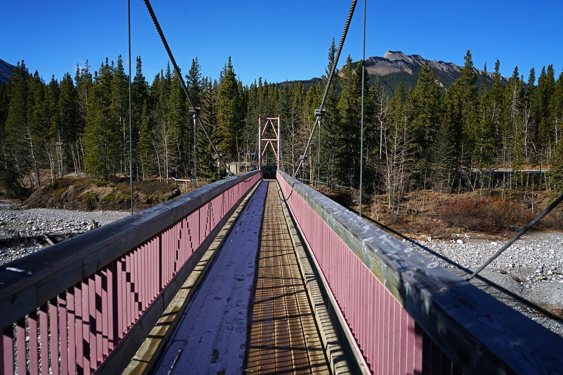
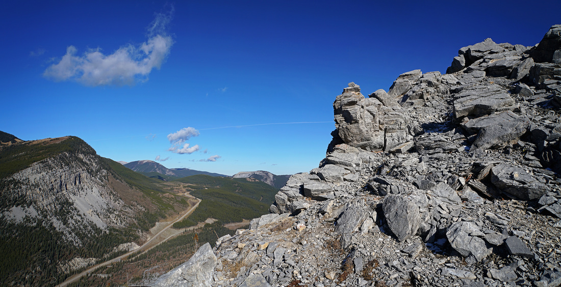
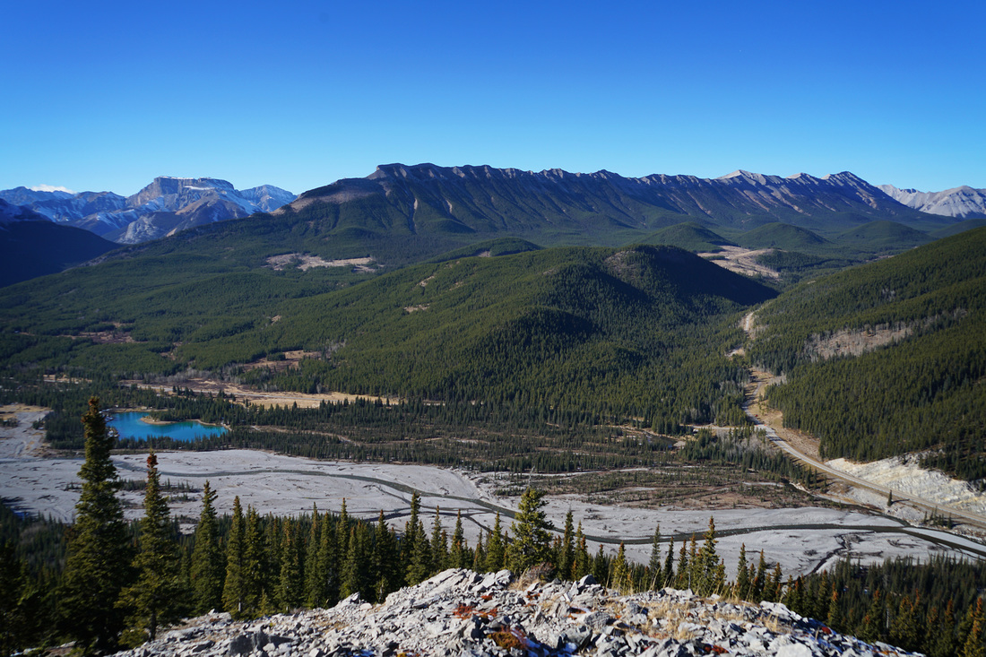
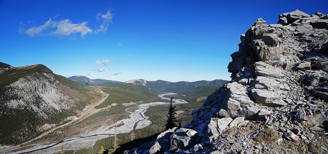
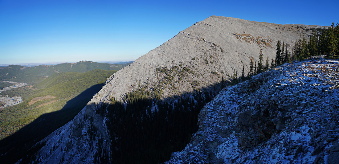
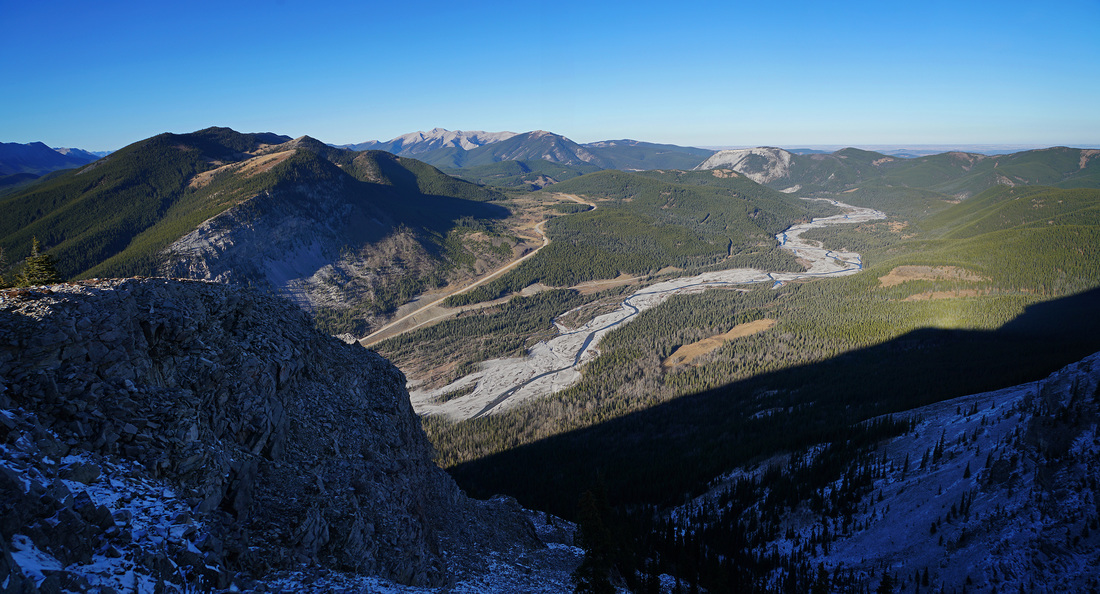
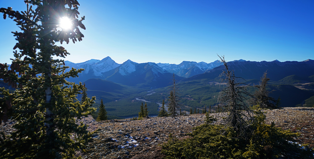
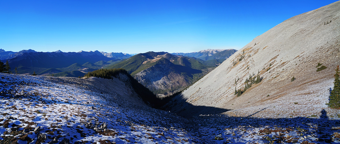
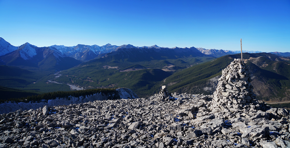
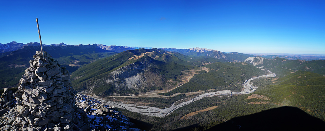
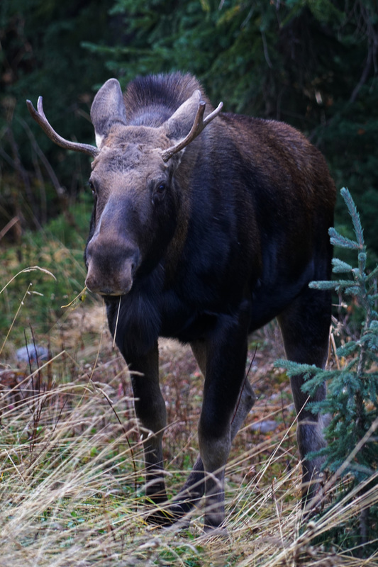
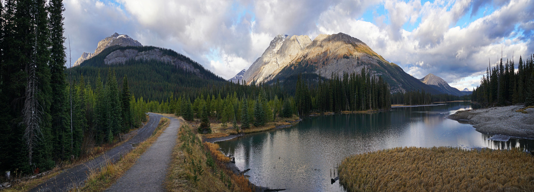
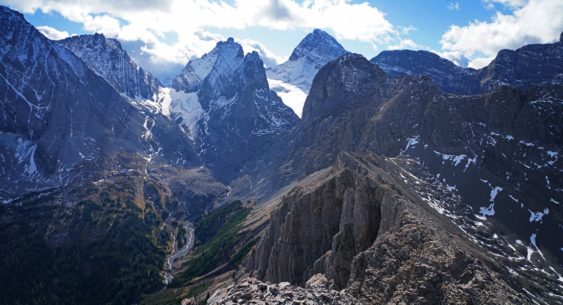
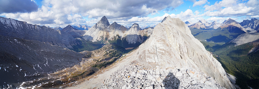
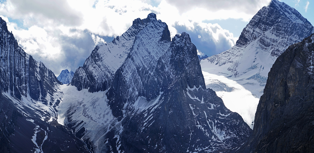
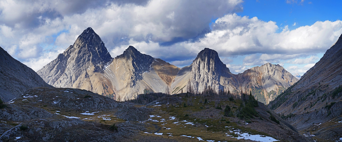
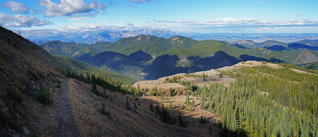
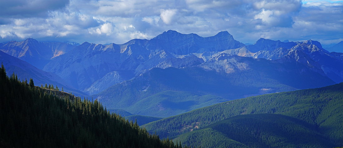
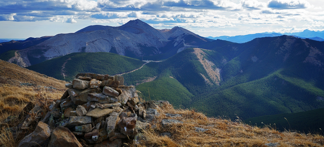
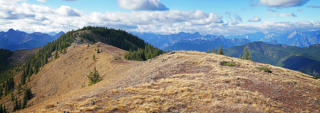
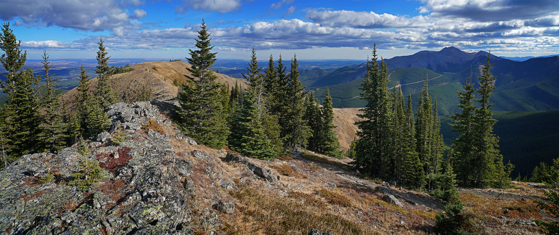
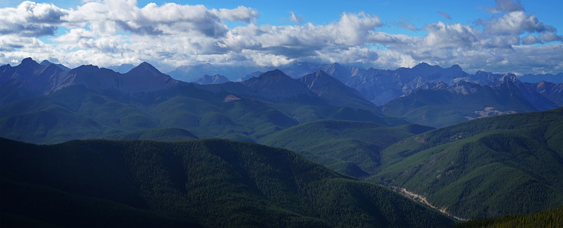
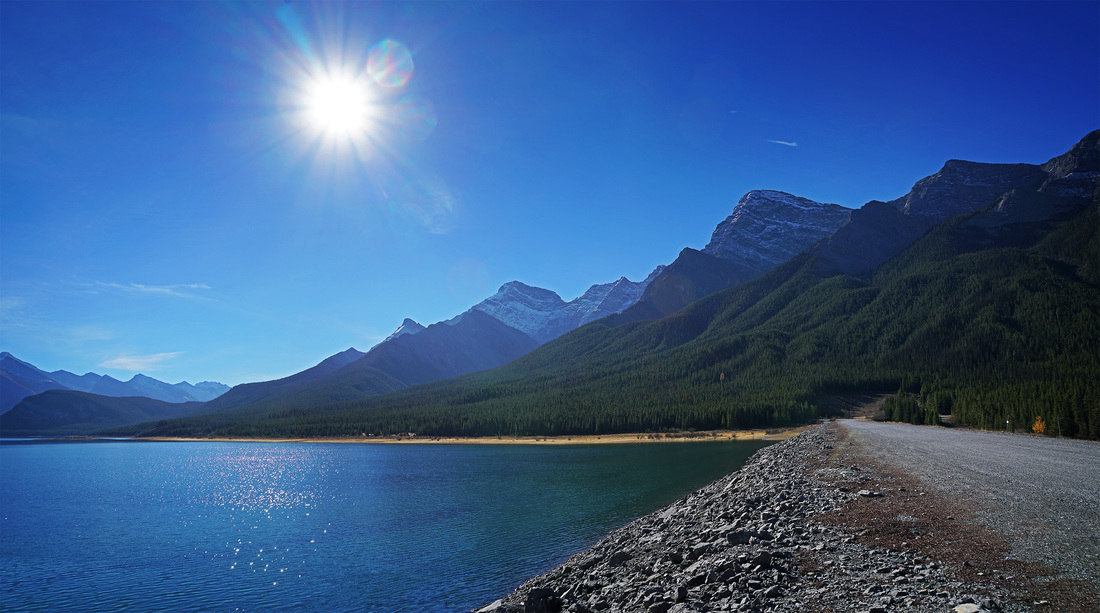
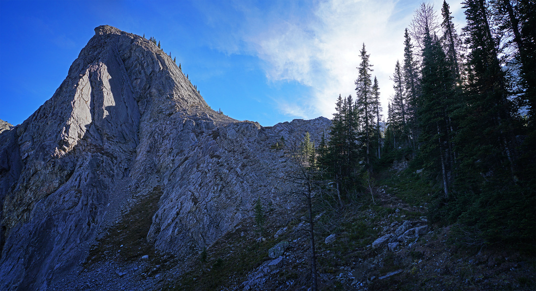
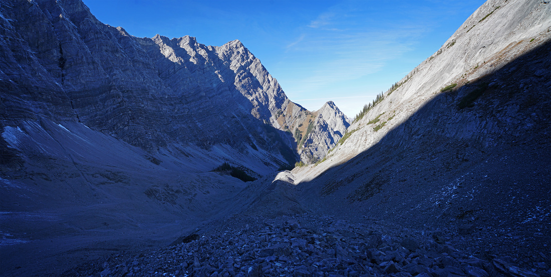
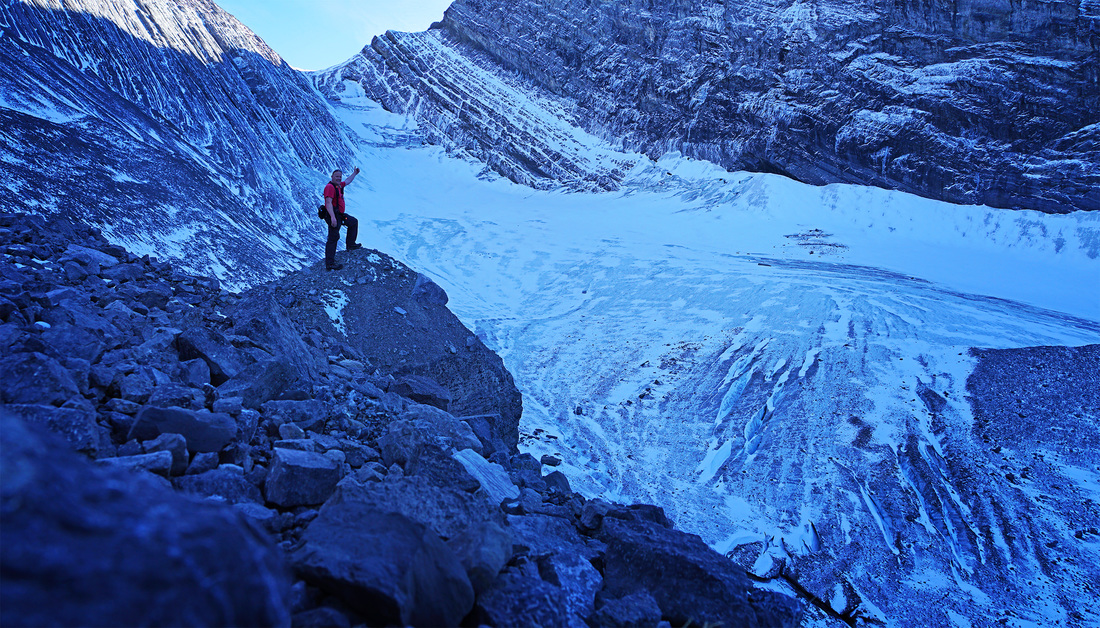
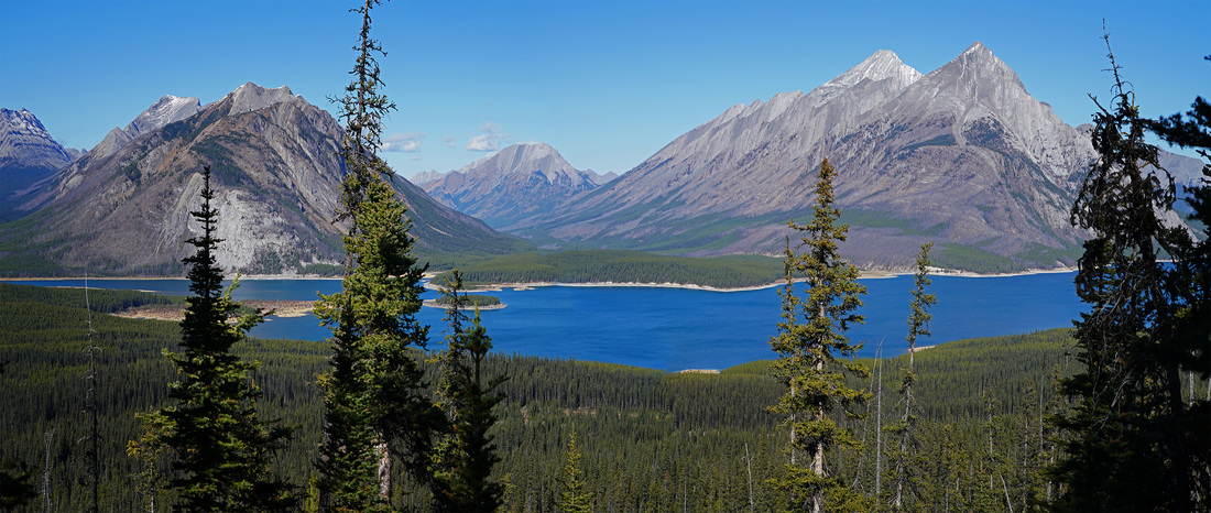
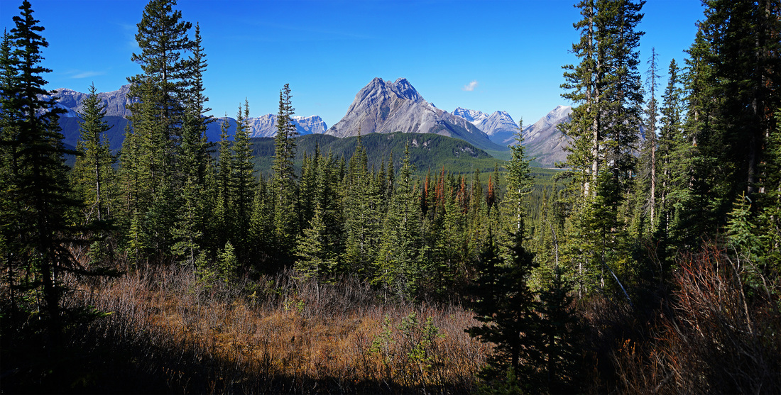
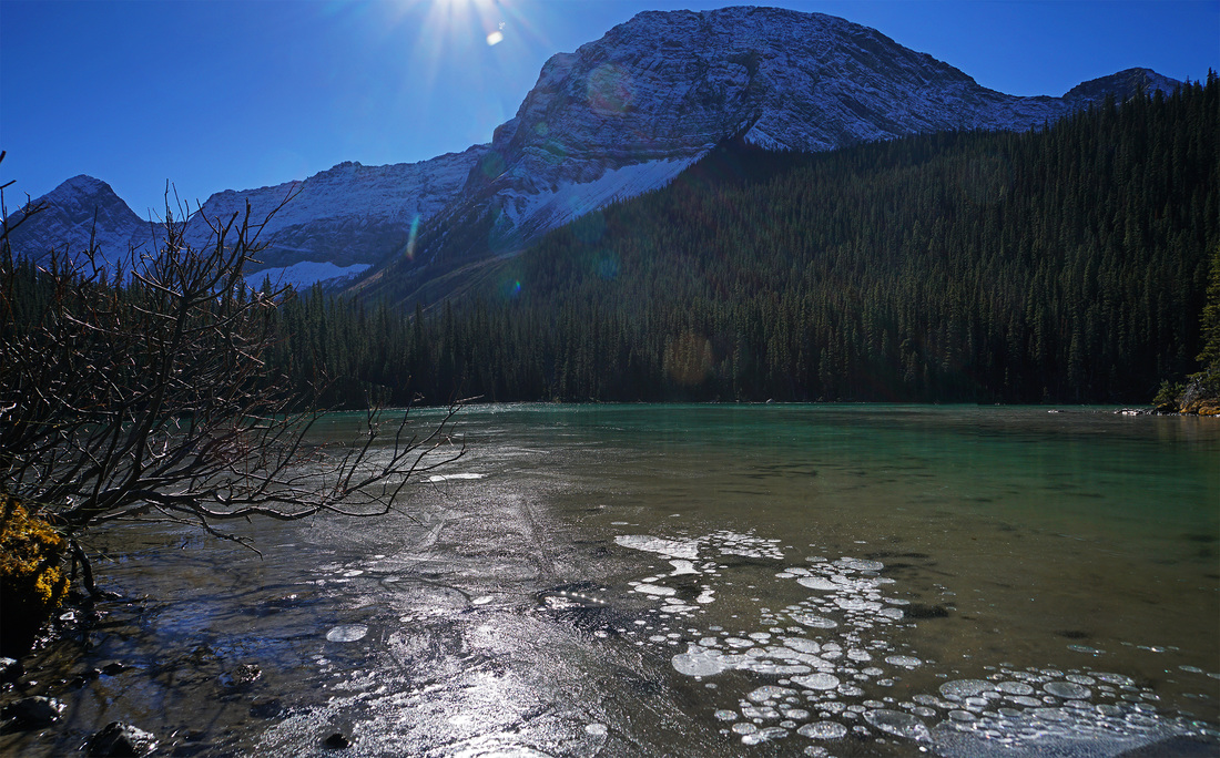
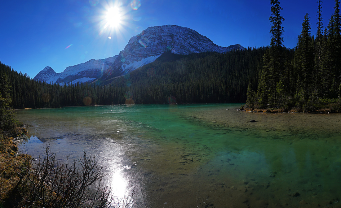
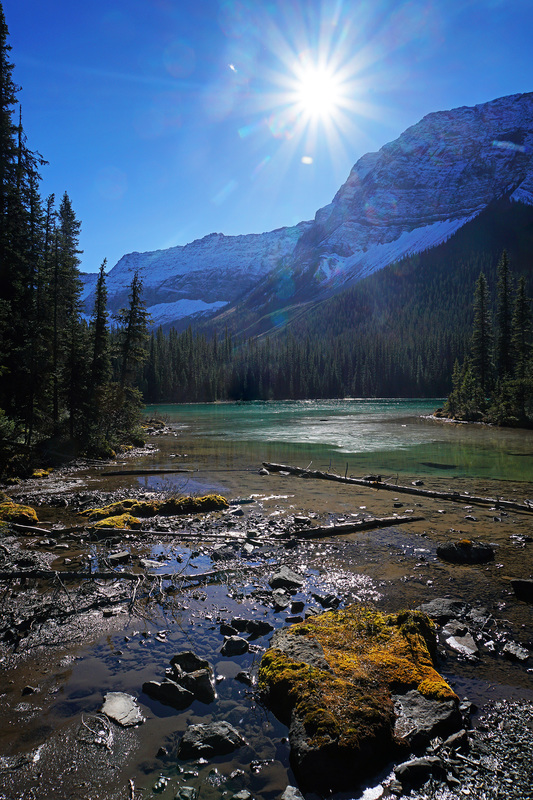
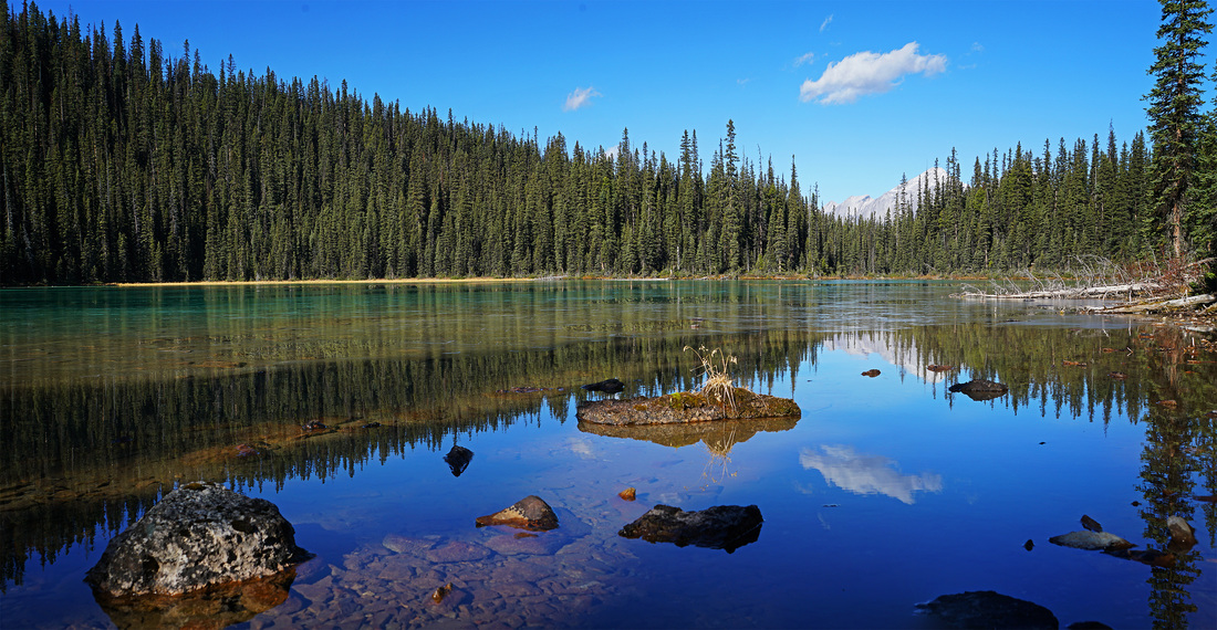
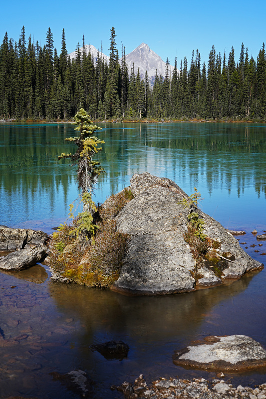
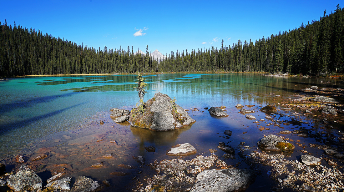
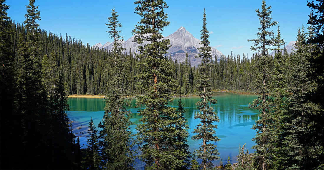
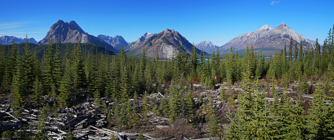
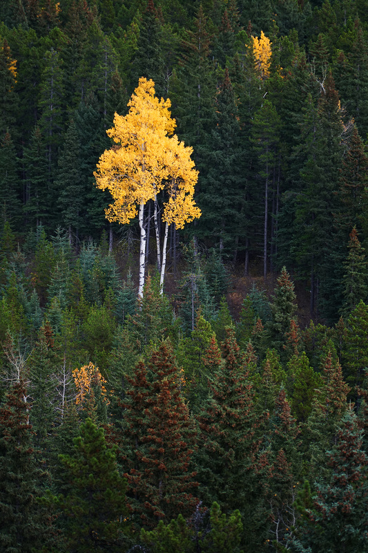
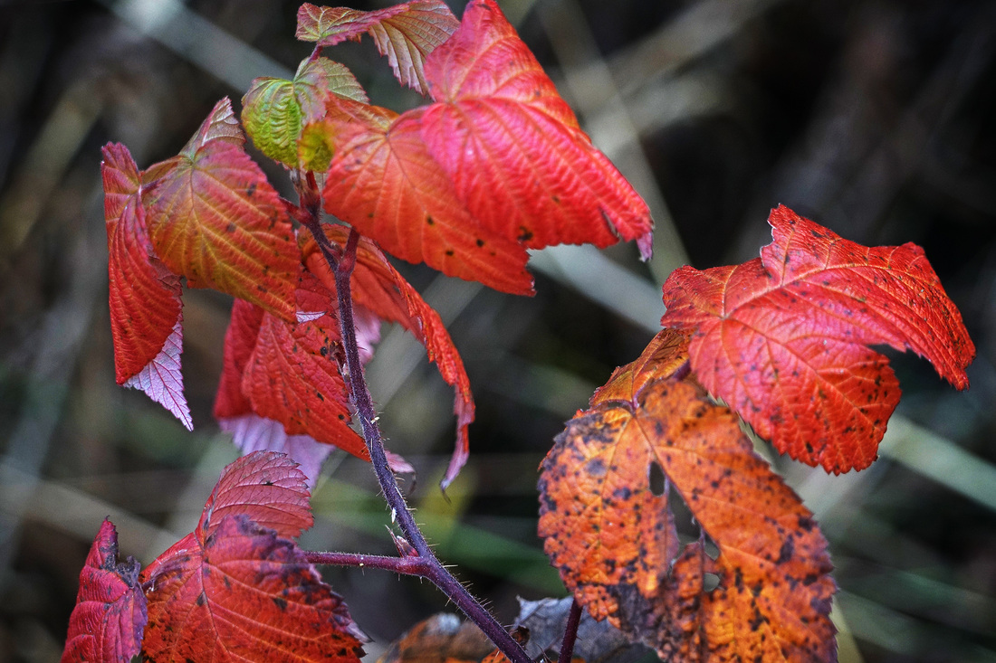
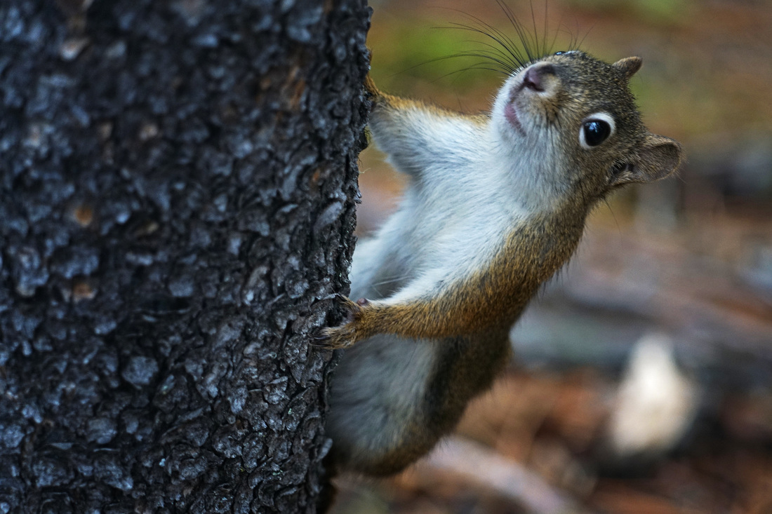
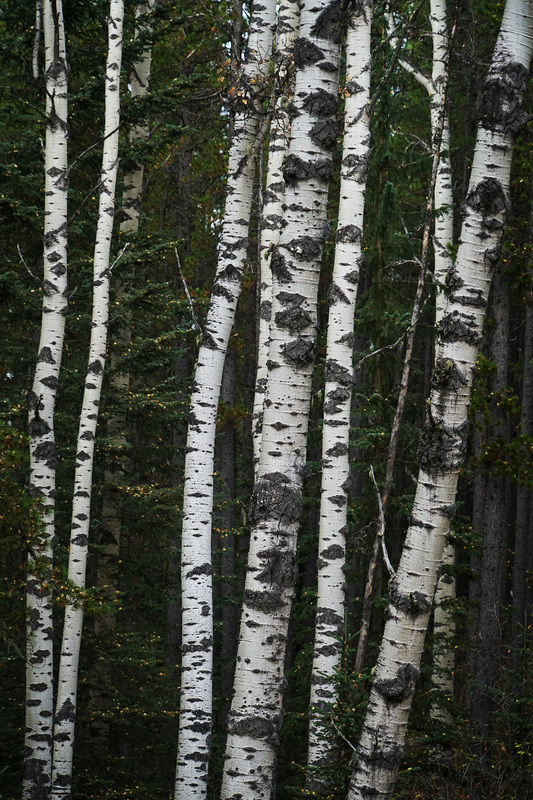
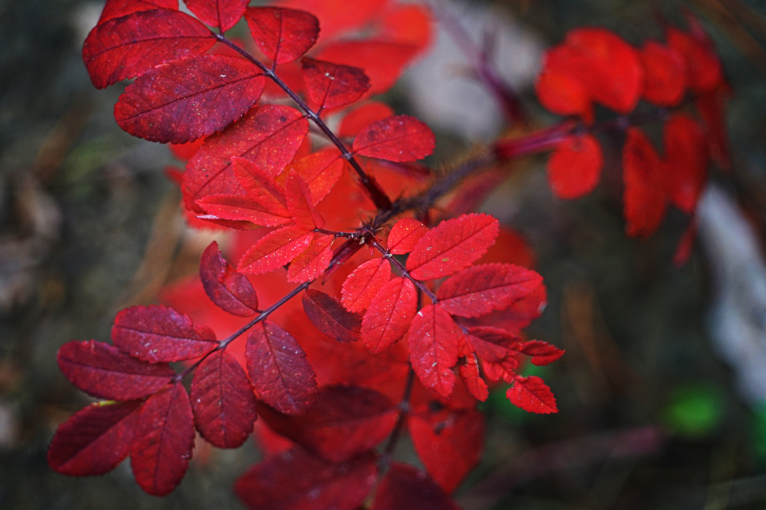
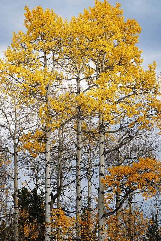
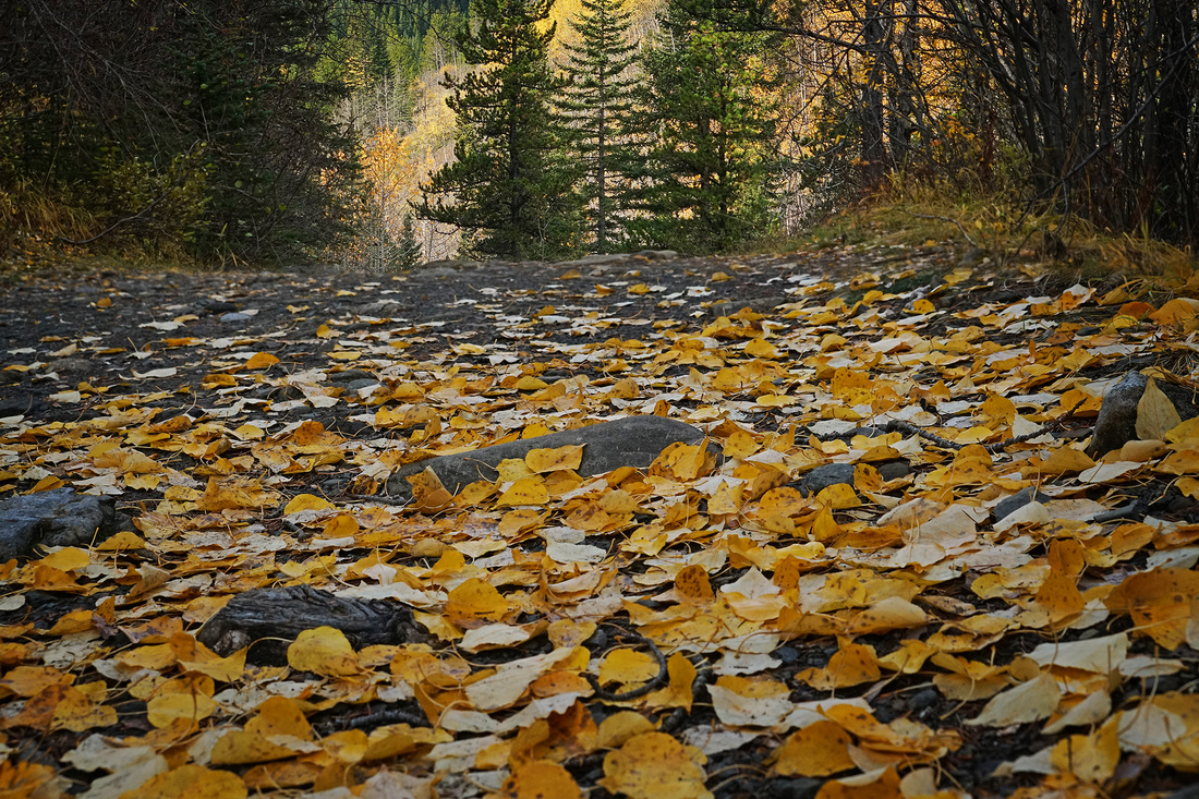
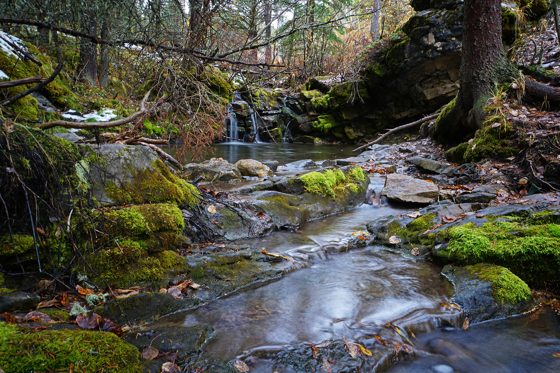
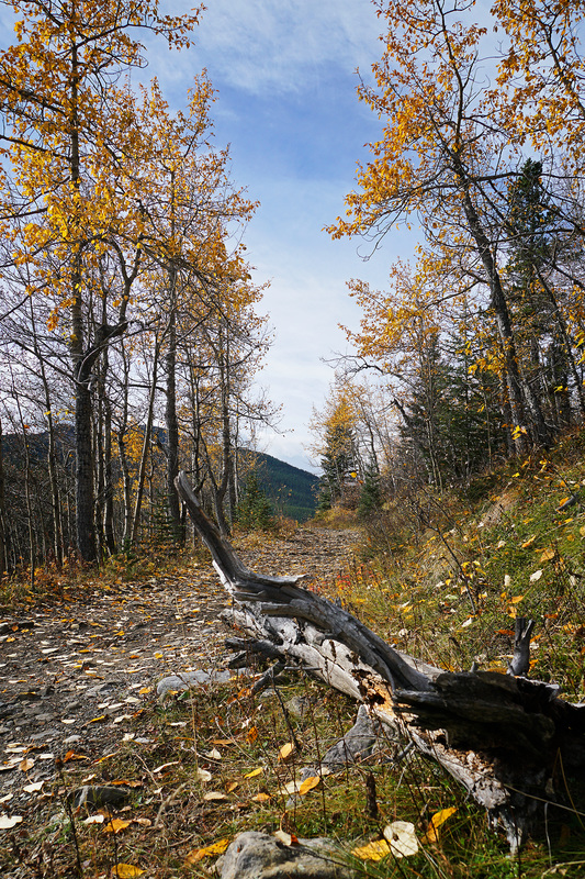
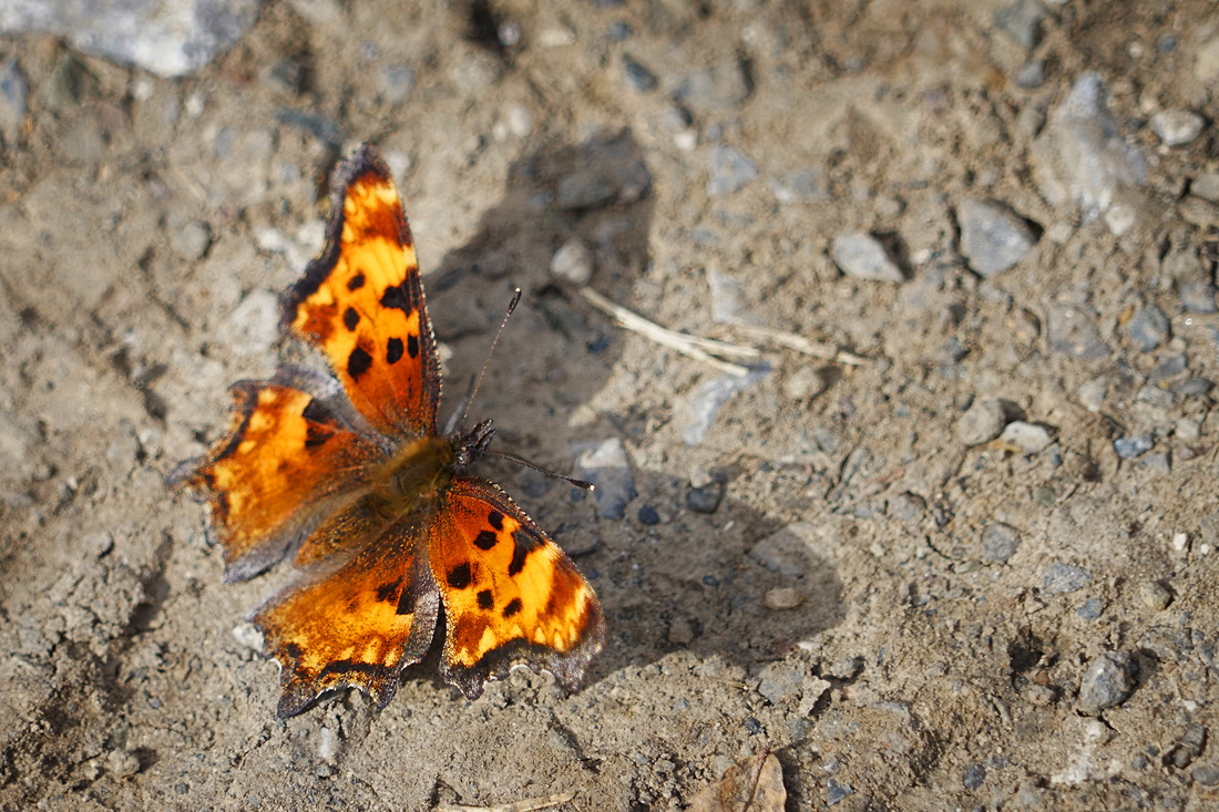
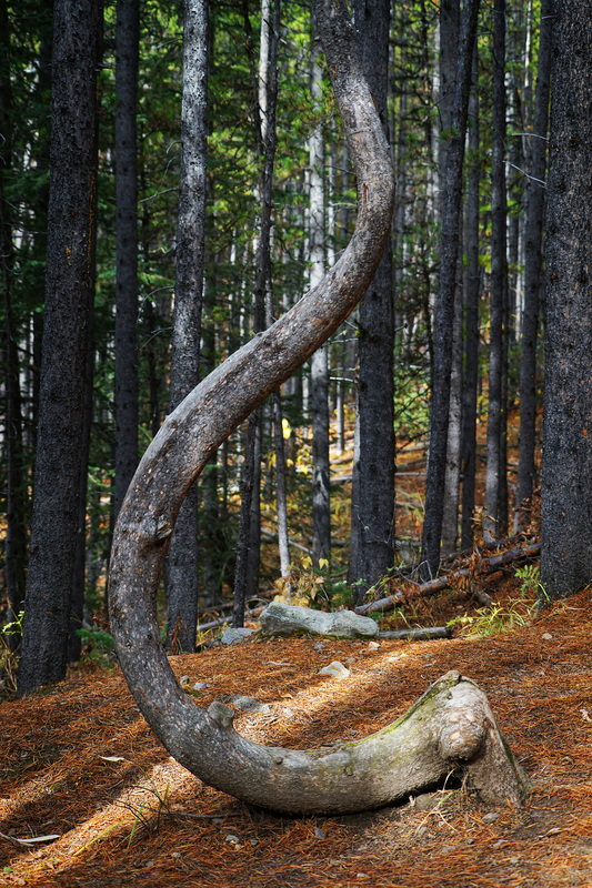
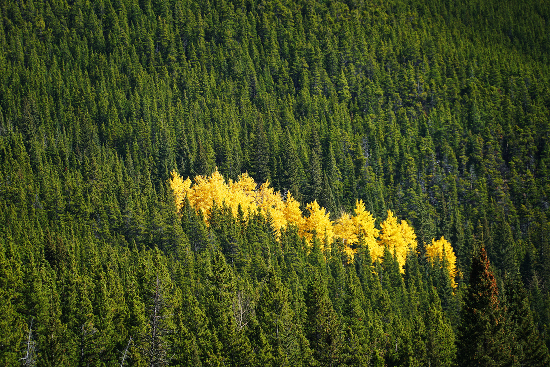
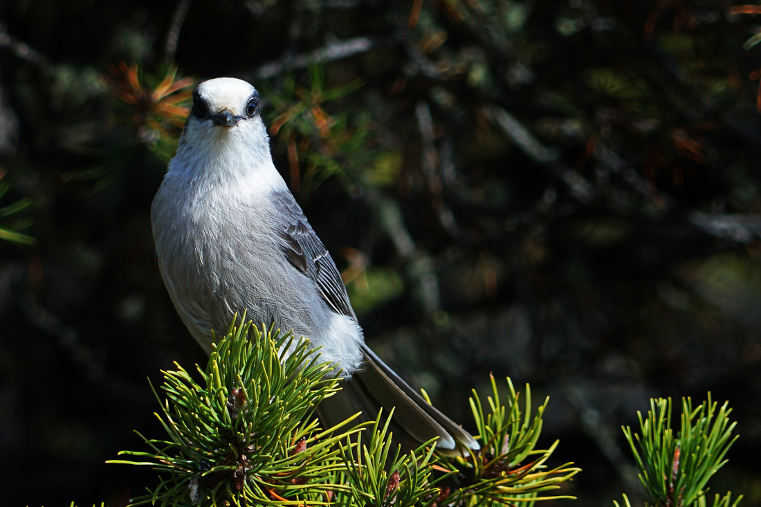
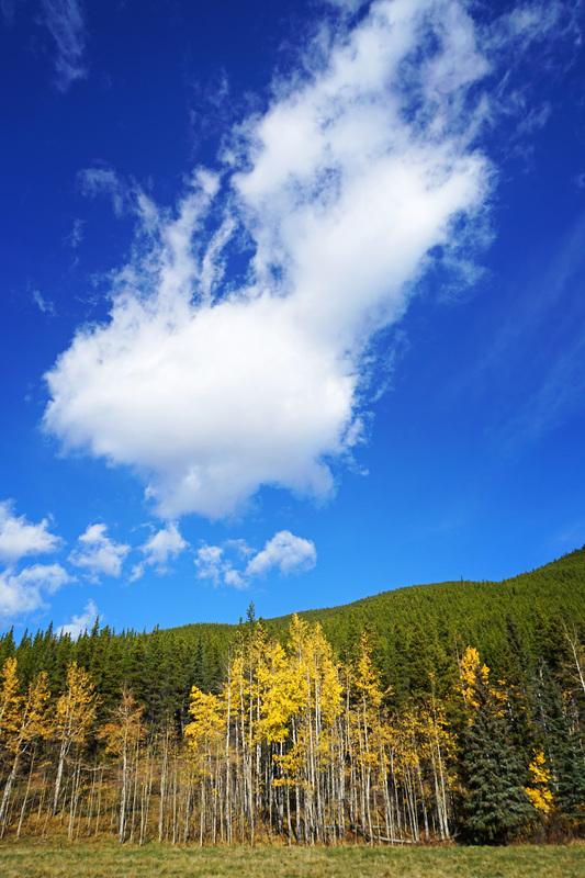
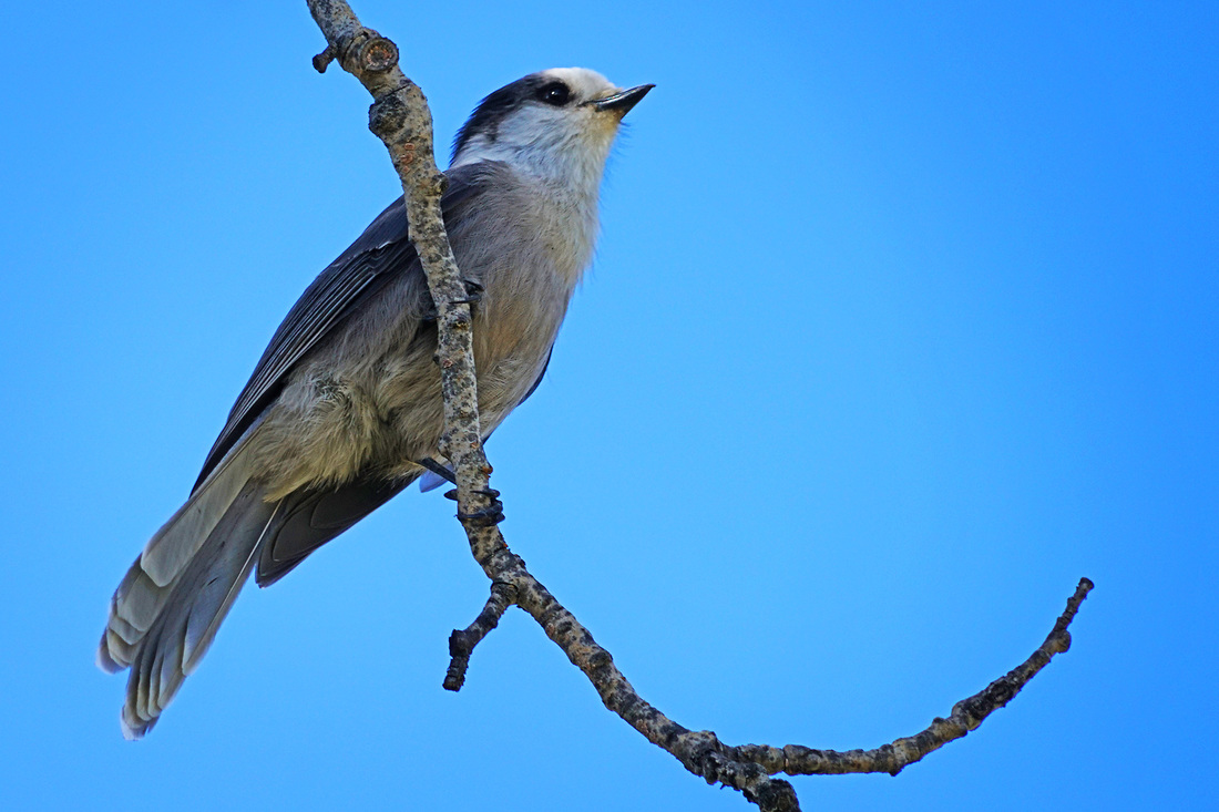
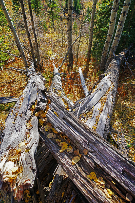
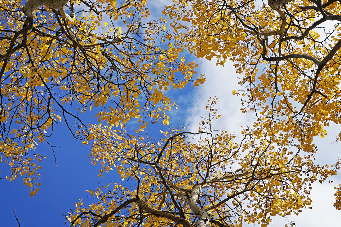
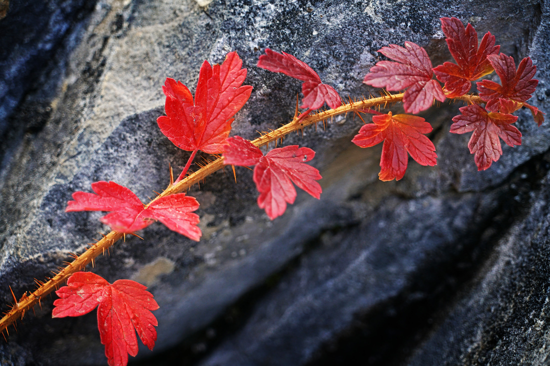
Not sure if Moonset is really a thing or not but, whatever the correct terminology it was a huge clear moon that was doing it this morning and I couldn't resist getting the 600mm out for a shot, click image for a larger view. 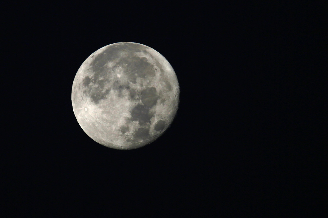 With the UK turning back the clocks a week before Canada does I find myself having a late start as 5pm UK is now 11am Canada, no big deal it's only for a week. So, after some morning meanderings around the house I decided to take a trip to the Elbow Valley to make the summit of Forget-me-not Ridge. This hike is extended to 15km at this time of year owing to the closure of the campground access pushing parking further back, but with only 693m of ascent it's still a nice 'up & down' for a late afternoon start. There's no full report of this trip as it is a regular jaunt now but you can find the full details of the hike here if required. Otherwise there's the usual captioned gallery below. 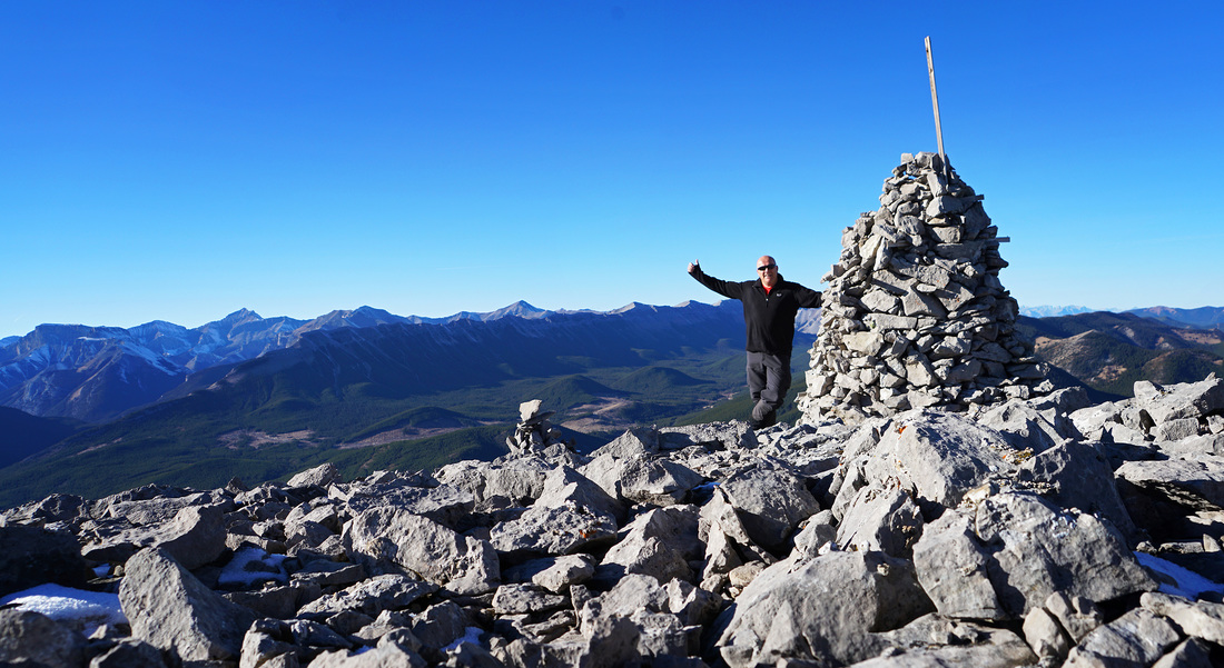 I found a new hike yesterday, a little bit dodgy in terms of ascent with some rotten rock on a narrow ridge but with spectacular views in all directions it was worth the effort to get there. The small gallery below is a sample from the day and not captioned but you can get all the info by clicking here for the full hike and photos. 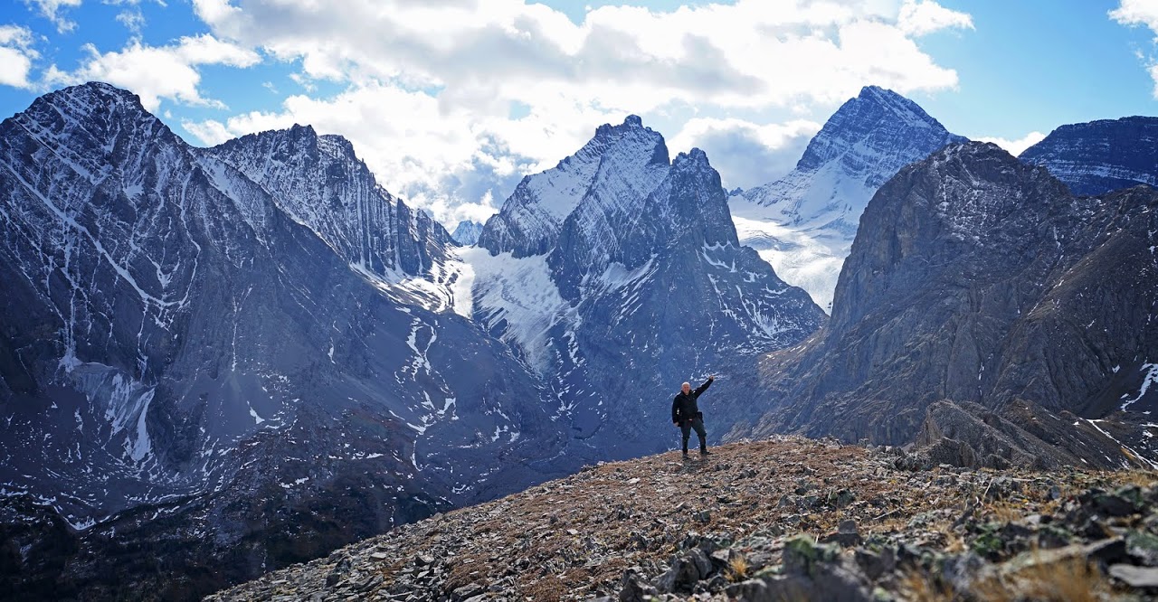 I took the short trip to highway 68 today and the Dawson Equestrian parking area in order to make the 14 km round trip to Cox Hill, it's a good hike requiring almost constant effort on an unrelenting ascent. Even though it's not steep in any section it is a good workout with almost 800m of ascent needed to reach the western end of the summit ridge where a seat with a view awaits. There's no write up of this hike as it is a repeat but you can see directions for the hike in a previous post here. As usual the small gallery below is captioned, just click for larger. 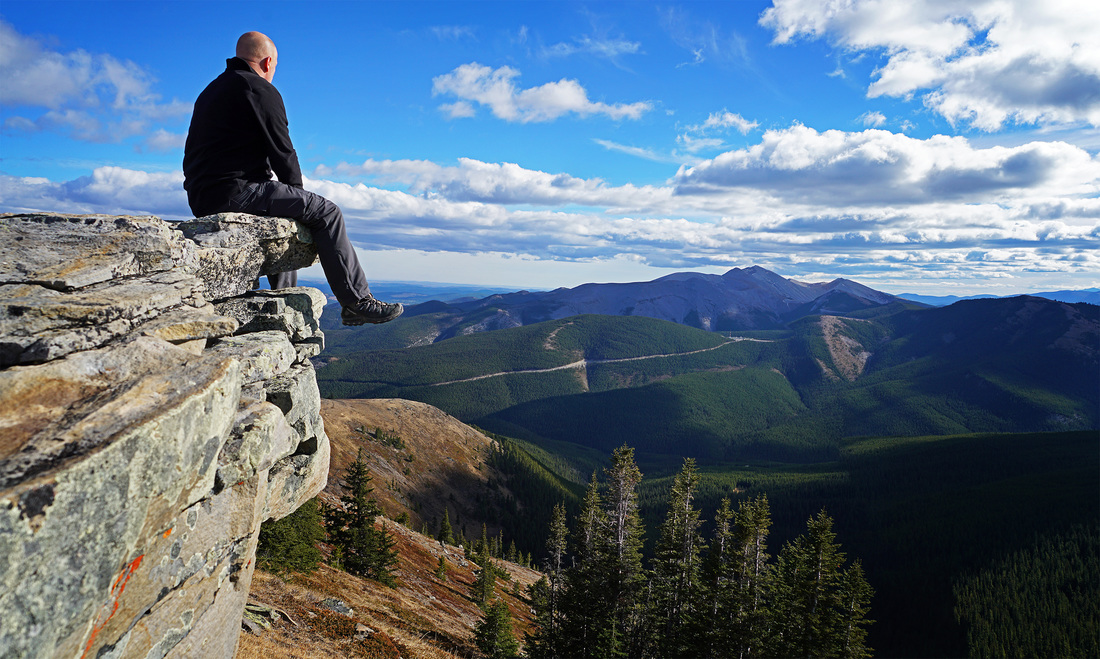 I made a nice hike out to Old Goat Glacier last thursday, it's another one I've had my eye on for a while but being a tourist hotspot it had to wait until the campground had closed and the tourists had gone home before ventured out. I'm glad I saved it too as I had the place to myself all afternoon and really enjoyed it. As usual there's a small selection of shots from the hike below or you can click here for the whole hike and pics. 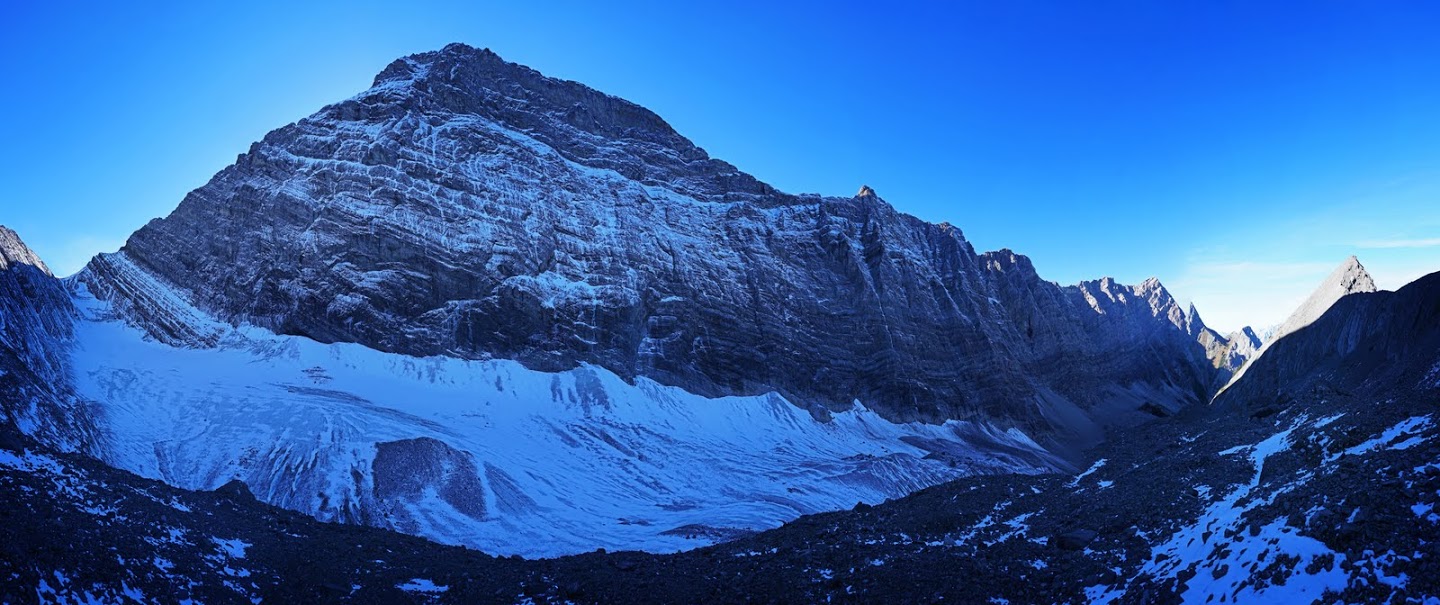 In July 2012 I stood high on Tent Ridge looking down on the colourful water in Shark Lake and thought I might make a hike to it at some point. The hike itself is only 9.5 km round trip (even if you try to stretch it out as I did) There's only 240m of ascent too (again including unnecessary additions) which is why I never got around to doing it until now. The lake is a short distance south of Spray Lakes Reservoir and the route in allows some nice views over Spray Lakes and the surrounding mountains. I'm undecided about writing a full hike report as it hardly seems worth it so I'll post a few shots of the day and leave it at that for now. The main shot below is nowhere near Shark Lake but on the way home I passed Spillway Lake which is on the highway 742 about 5 km before it's southern junction with highway 40, the water was so calm I had to stop and grab a few shots of the reflected Opal Ridge. 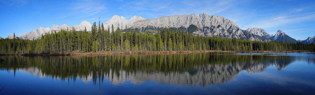 A nice shot from the balcony of the beautiful sunset tonight, you can see the darkness moving in from the east as the western edge of the clouds catch fire from the setting sun, click image for a larger version. 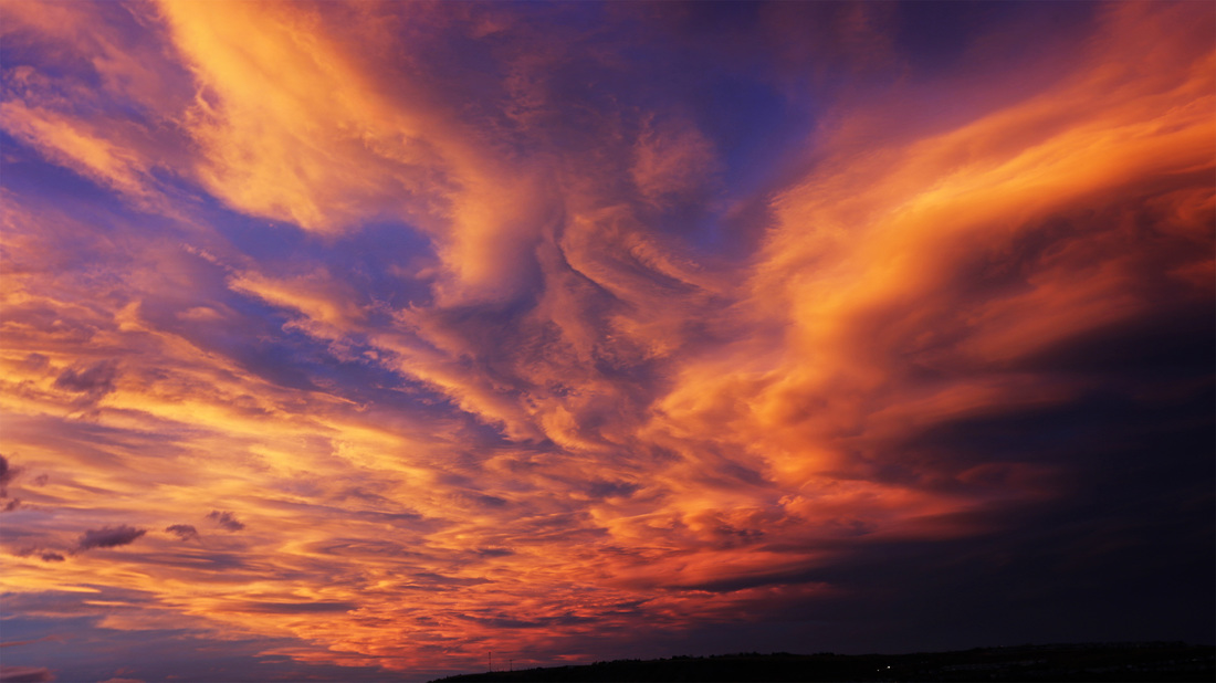 The local woodland provided another different route today making a nice 11 km with 394m of ascent to keep the legs moving. West Bragg Creek is my 'go to' place for maintaining fitness without travelling far to do so and always has just enough going on to keep me interested, even without the occasional wildlife encounter it is far better than the tarmac surface of the Bow River Pathway. Autumn continues to linger in places making it the longest we've had since we came here, so if you can stand a few more autumnal shots click below for the gallery. 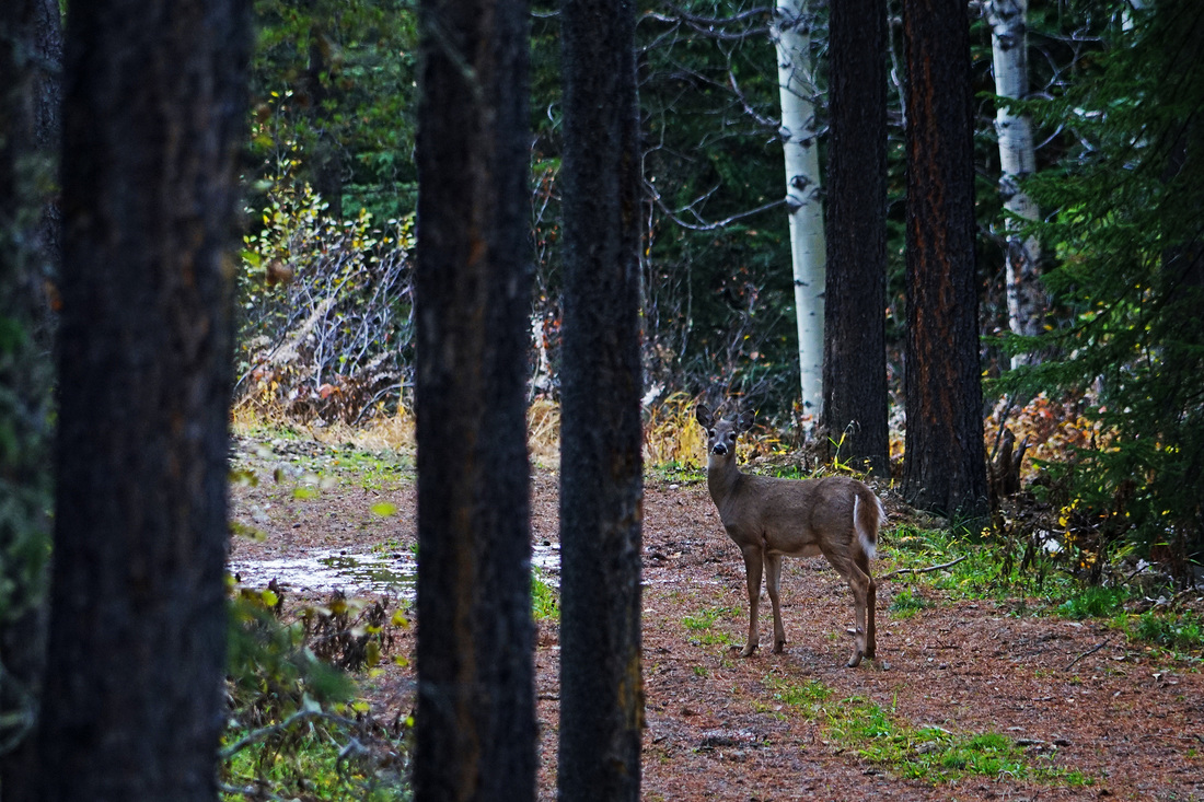 I revisited Prairie Creek today for a nice 'end of autumn' 13 km with 419m of ascent. I took the route clockwise for the first time and found it much easier that way. The hike was more about being out in the glorious weather than anything else and the result was a great easy day catching the end of autumn in the elbow valley. click small images below for slideshow. 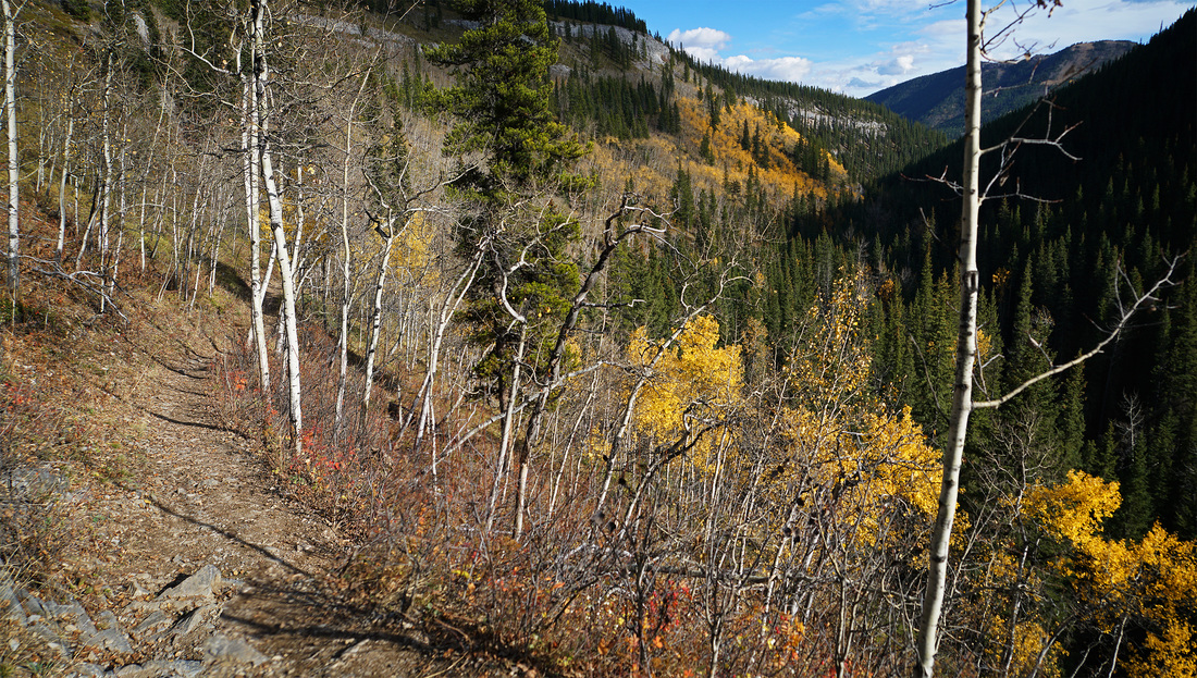 |
AuthorWe arrived in Calgary, Canada on 29th December 2011 to continue our journey. This blog is intended to keep our family and friends informed whilst we explore Canada.You can use the RSS feed below to stay updated. 
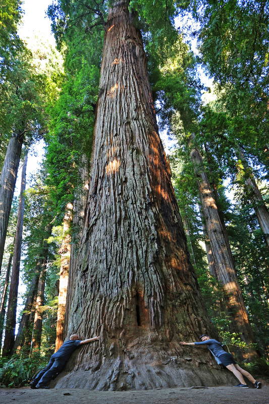
Stout Grove - California
Categories
All
Archives
January 2024
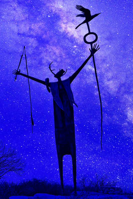
The Shaman, West Texas
|

 RSS Feed