|
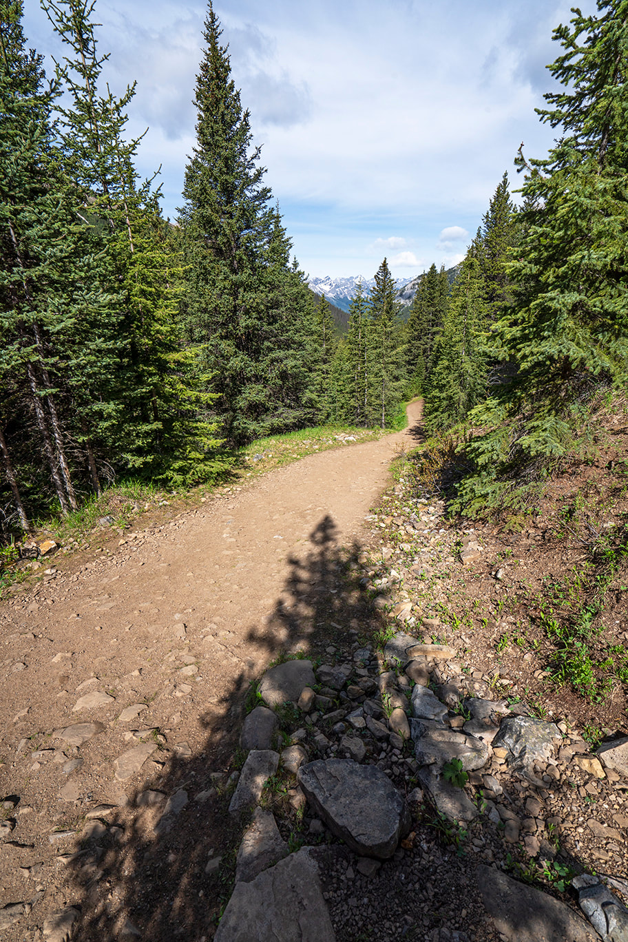
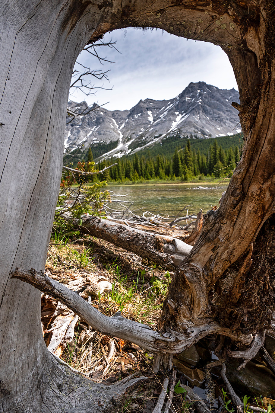
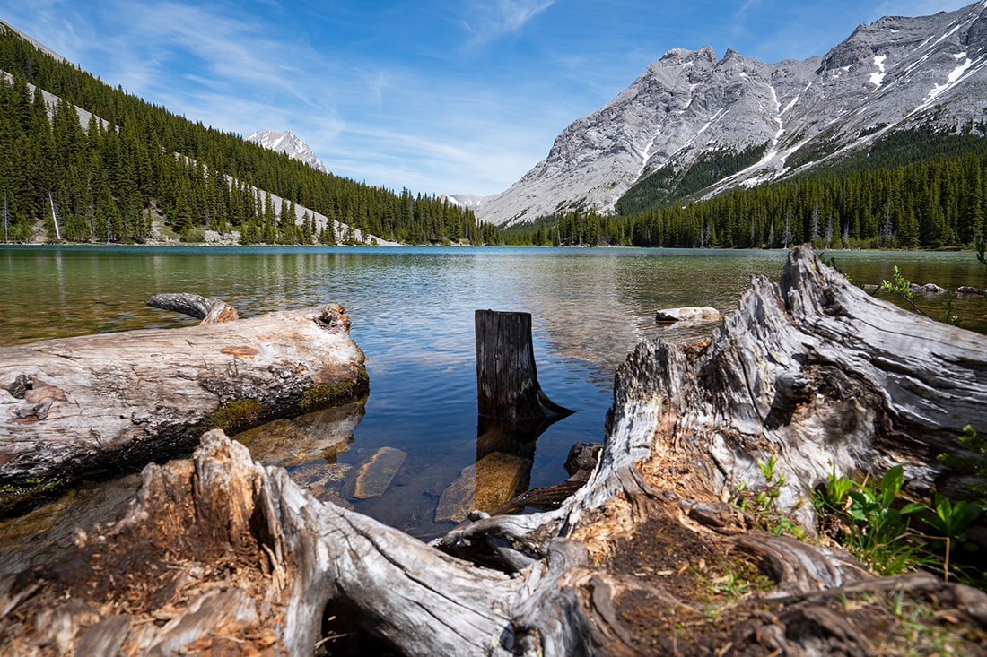
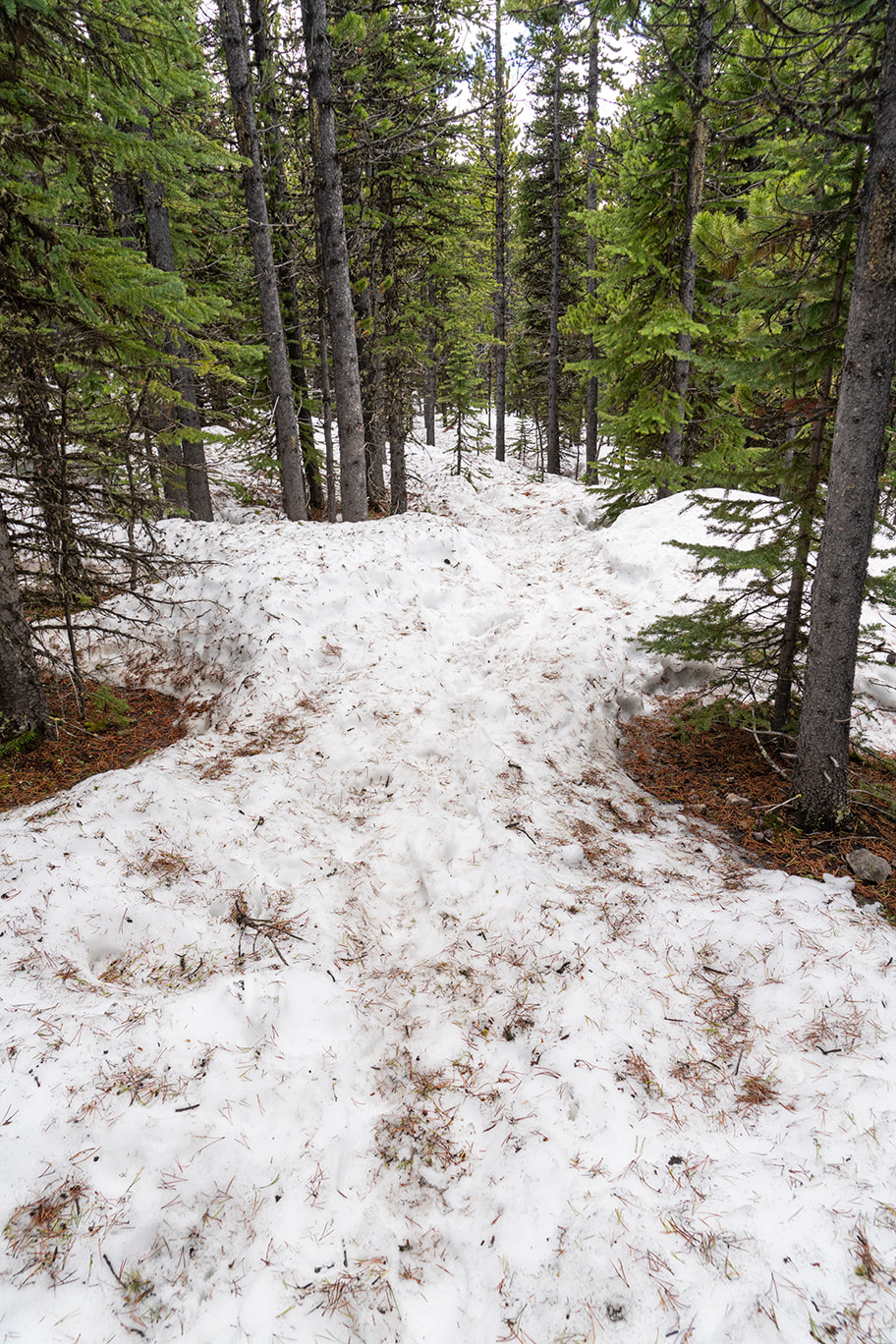
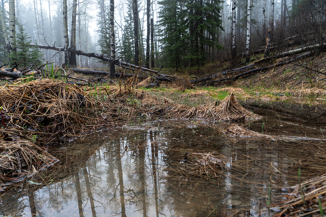
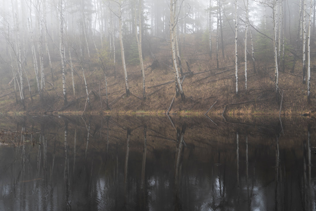
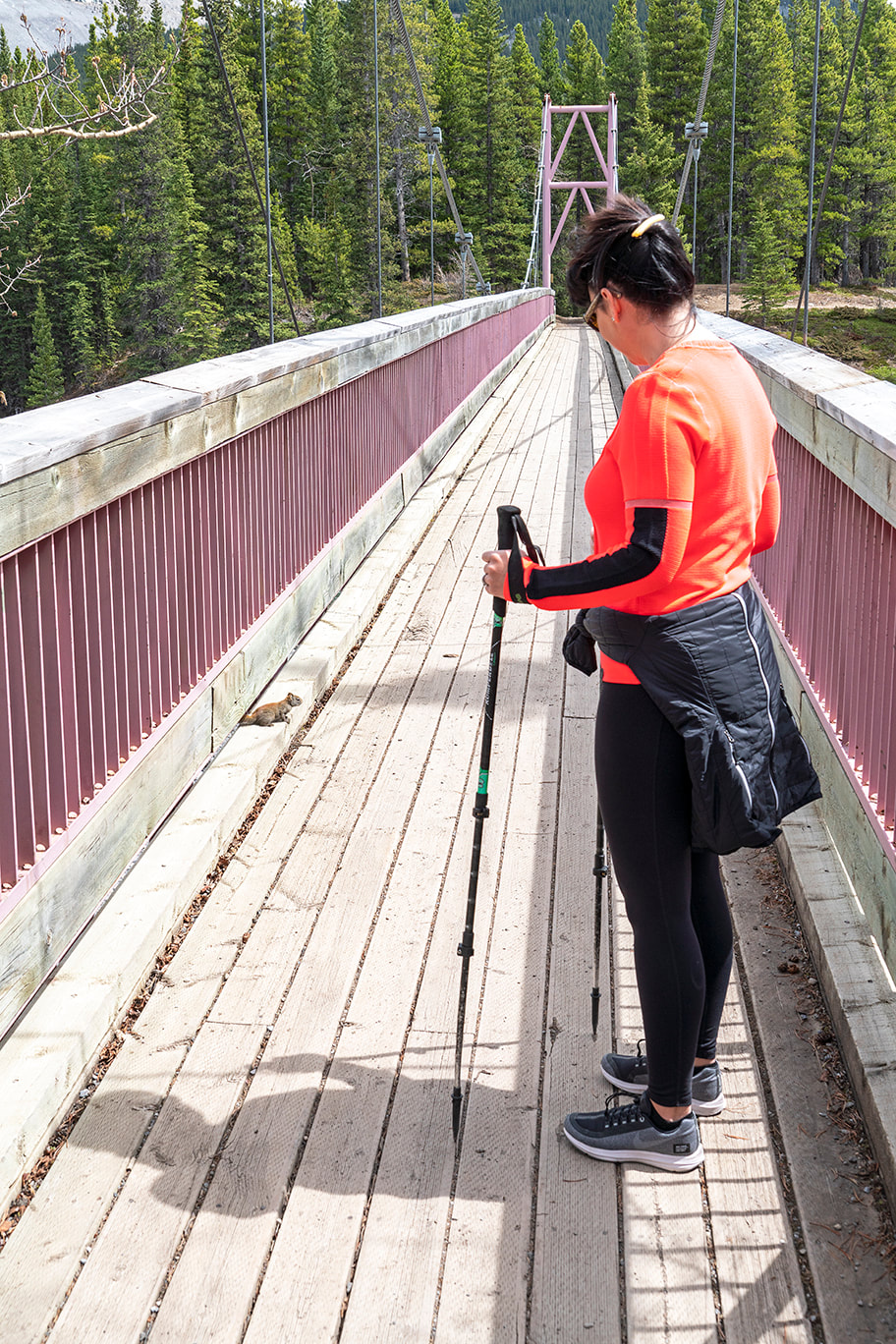
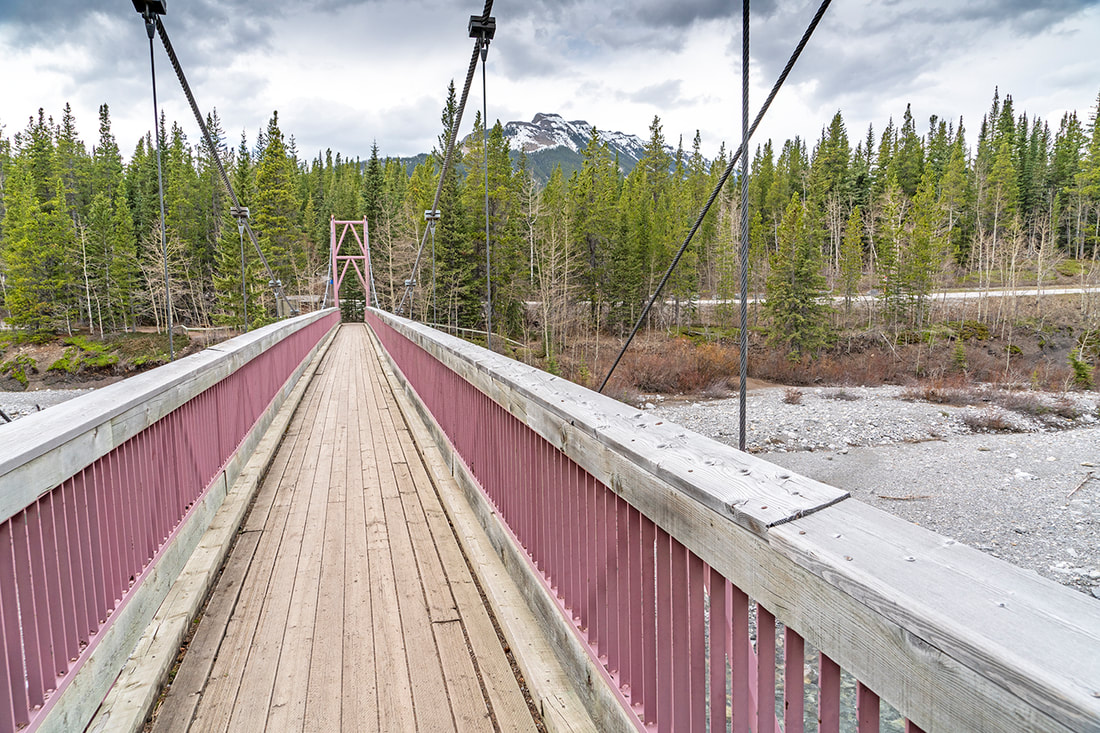
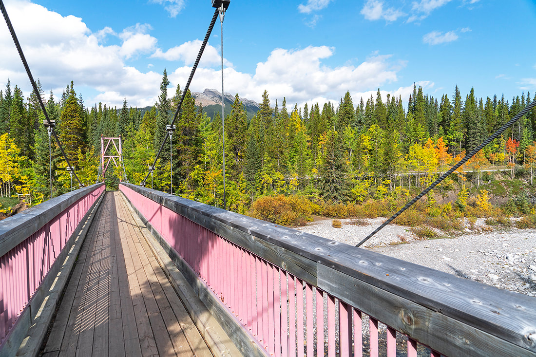
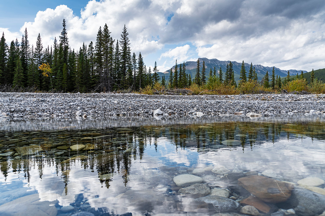
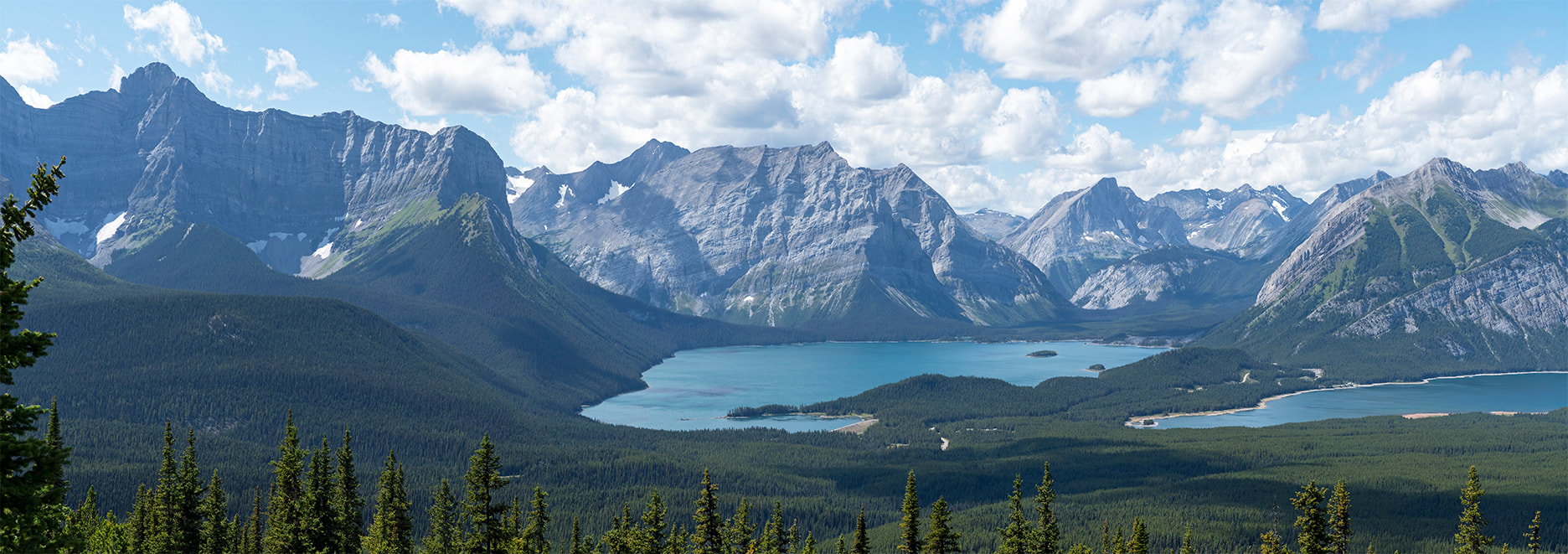
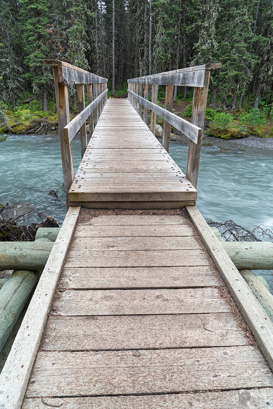
I met Cecil in the car park for Elbow Lake today and we made our usual trek up the steep opening ascent to a very busy lake. Elbow is always popular but today was rammed full of 'work from home' trippers too, compounding the crowding. We did a circuit of the lake and included a brief wander down the Elbow Trail toward the valley, just to check it out. The main image today is of the flooded trail in the valley looking away from Elbow Lake. The gallery below that has captions as usual. 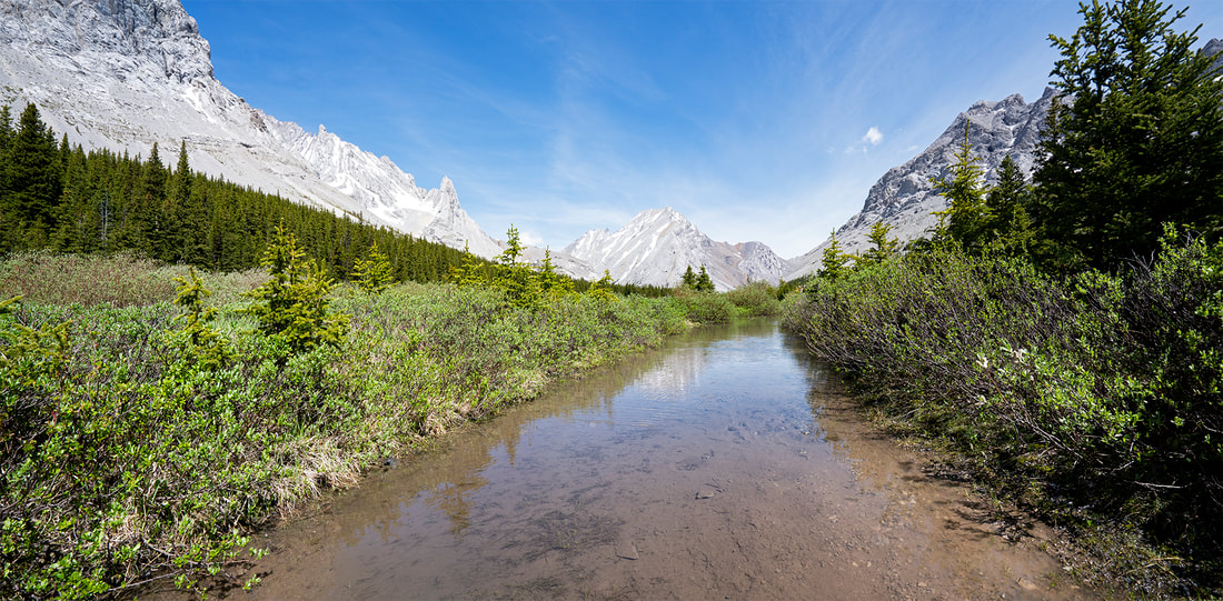
3 Comments
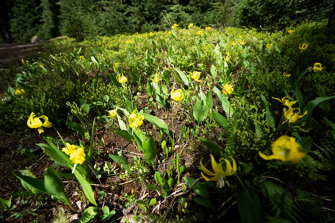
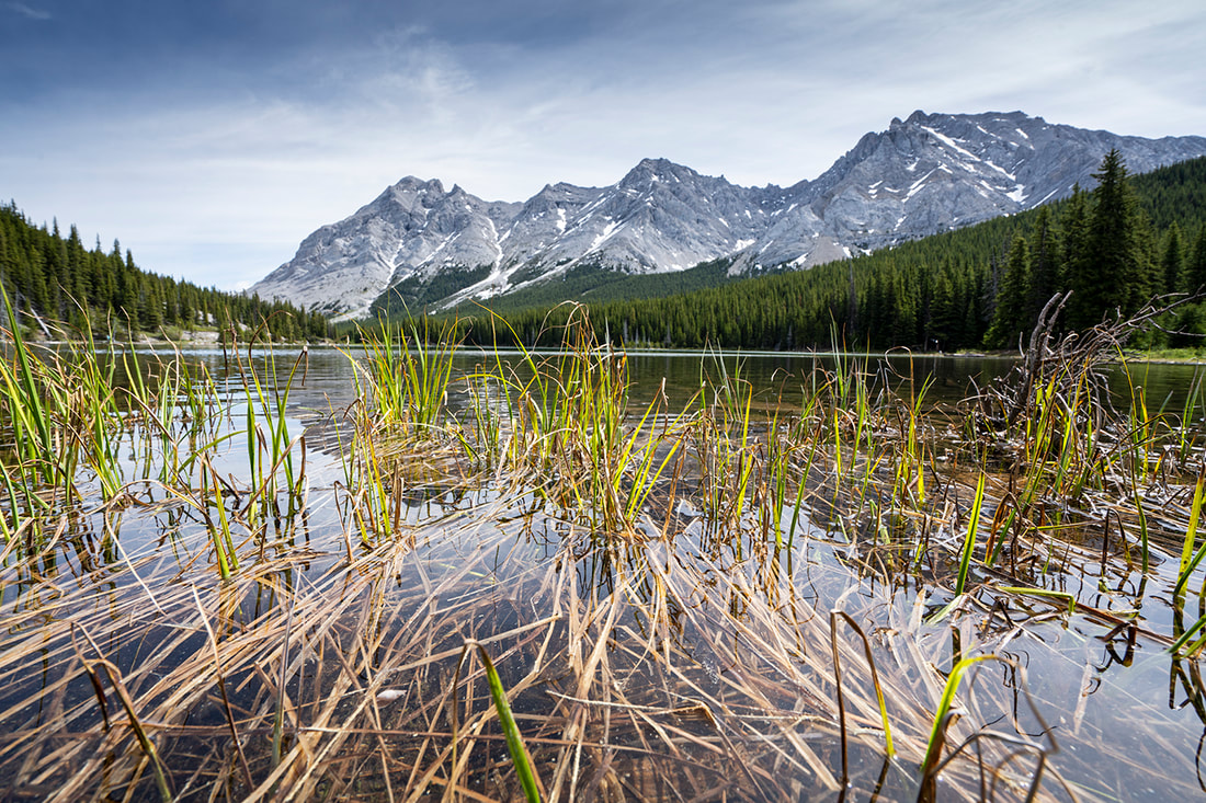
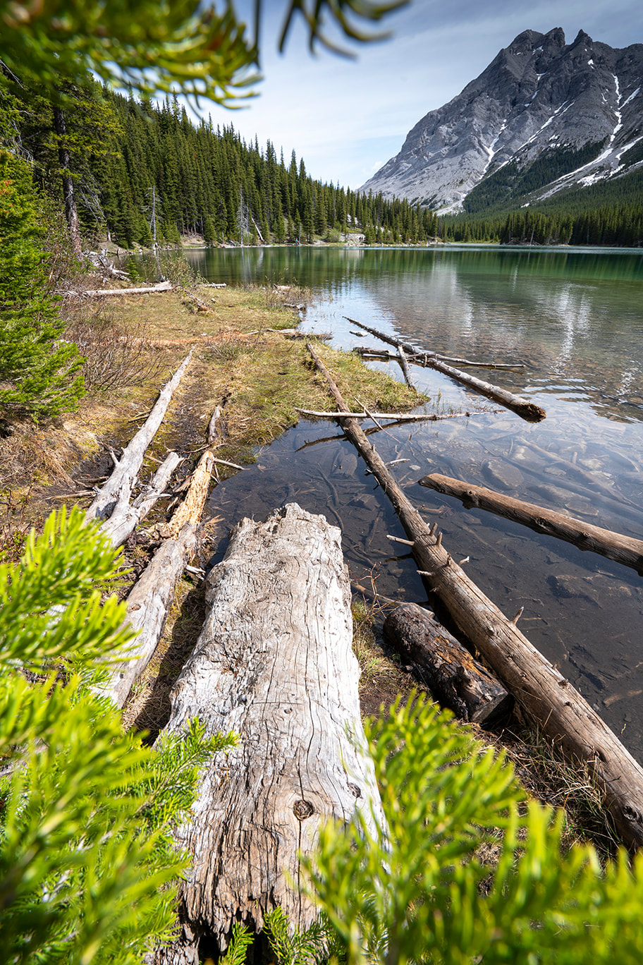
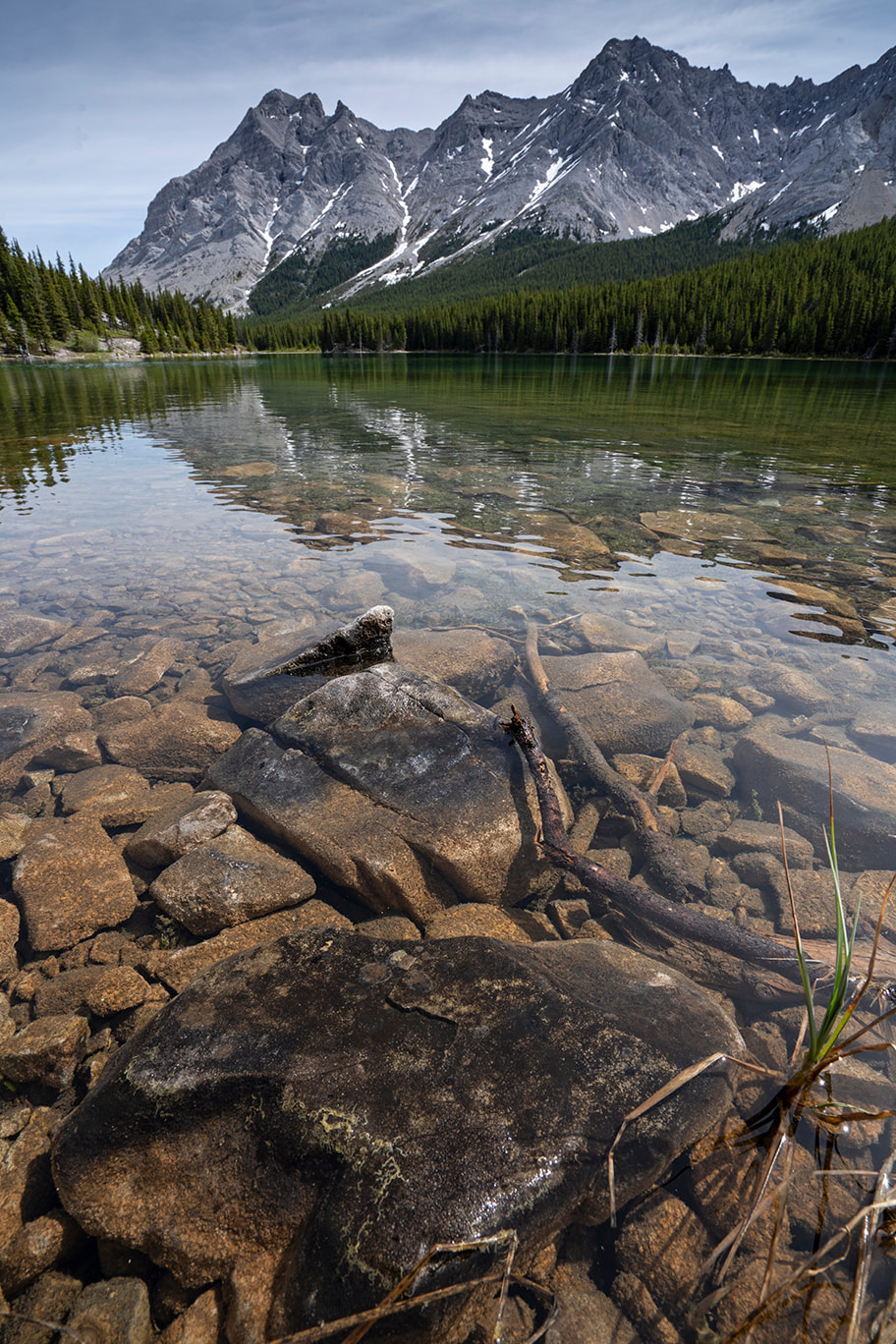
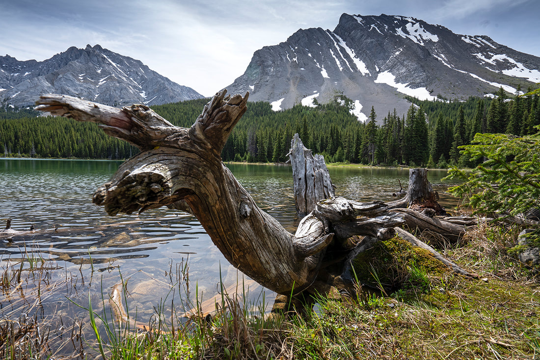
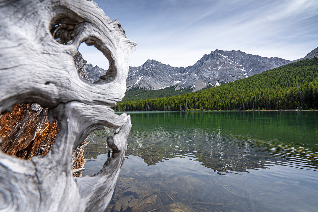
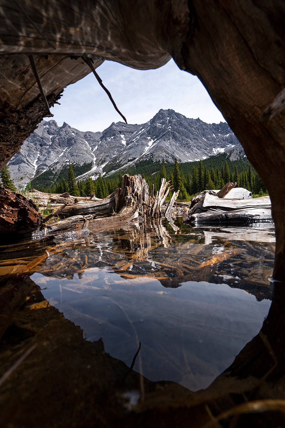
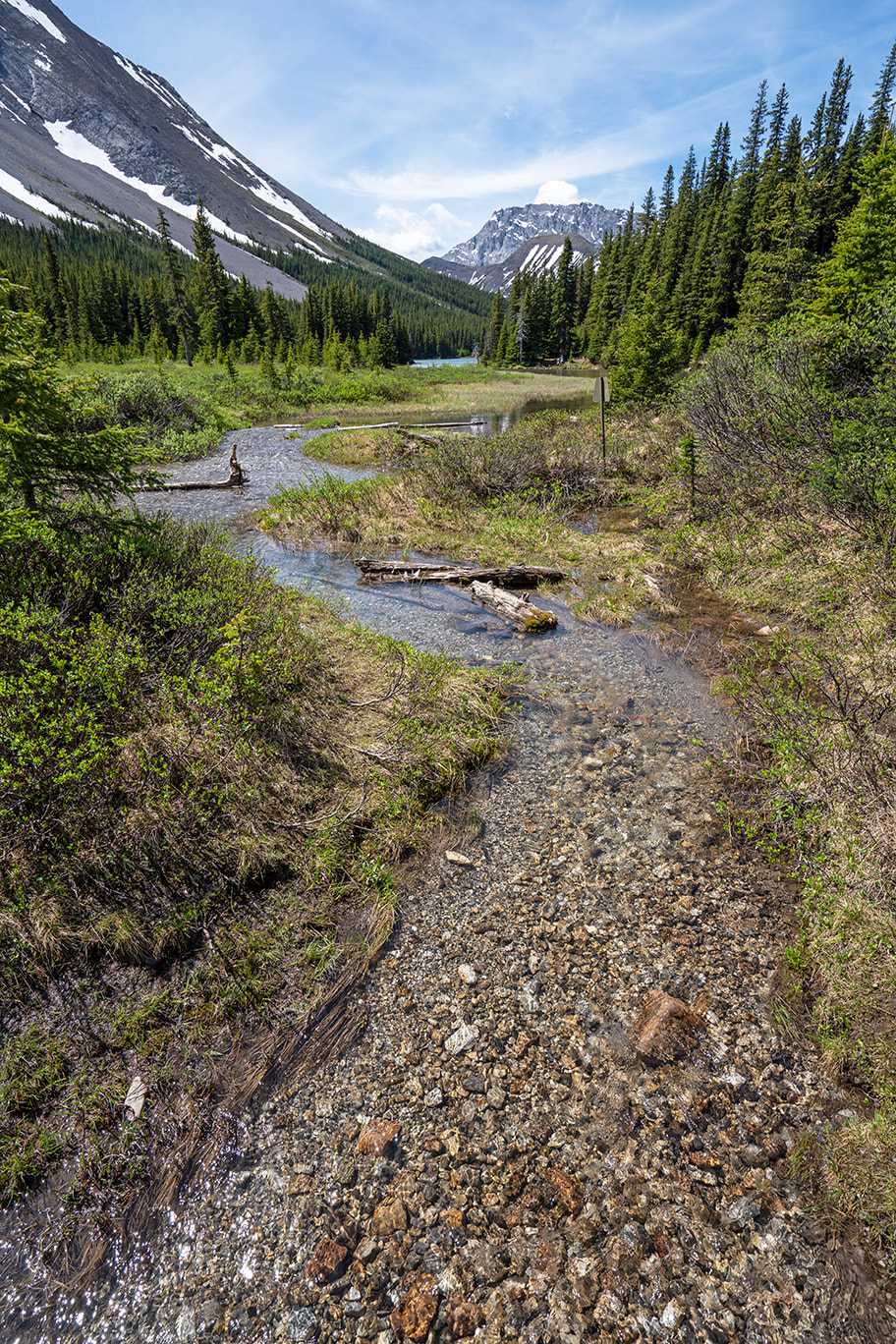
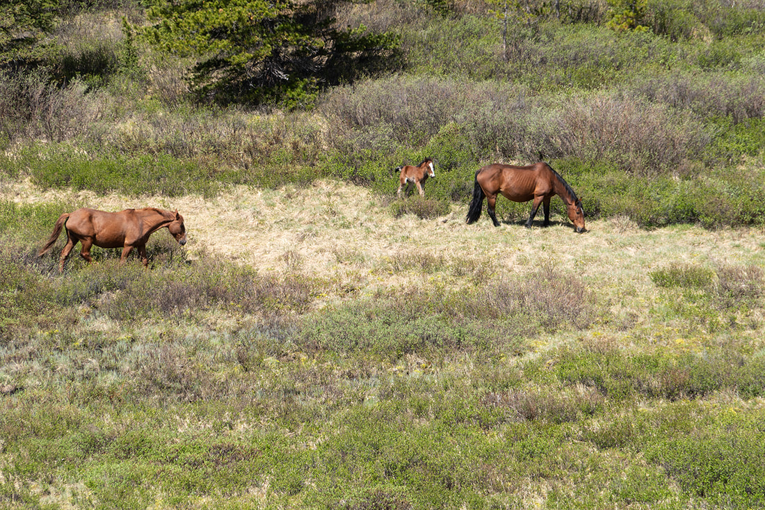
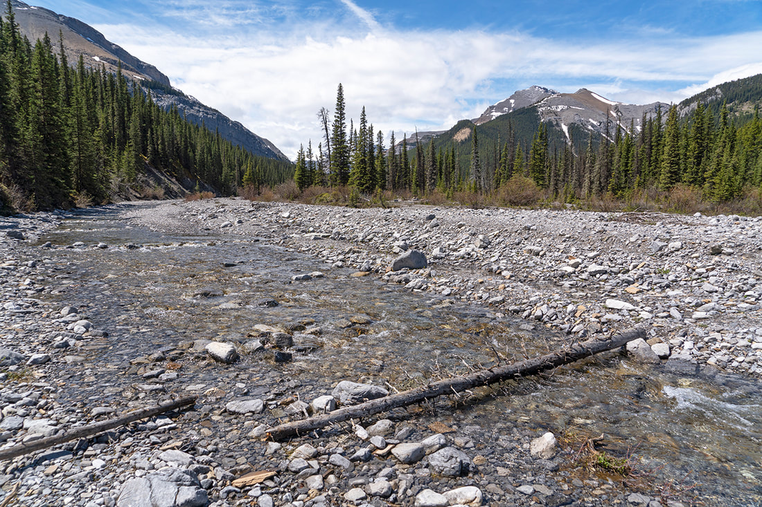
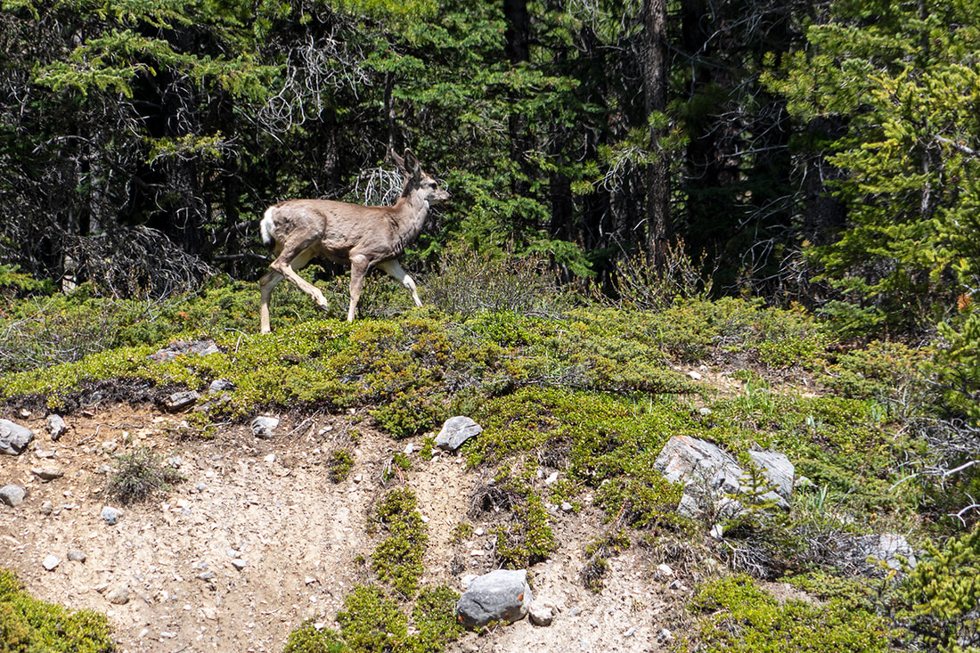
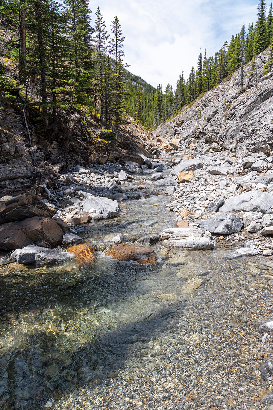
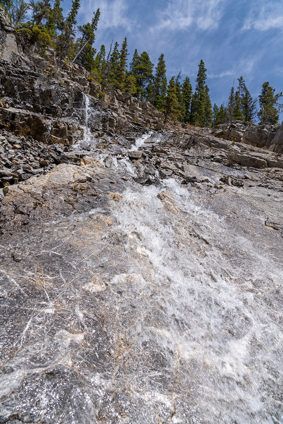
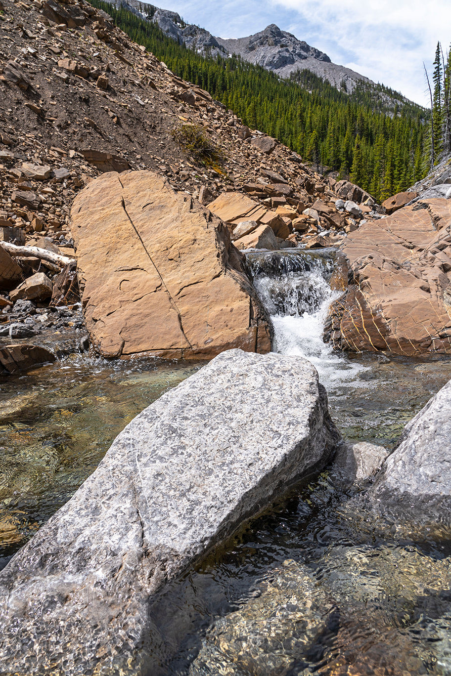
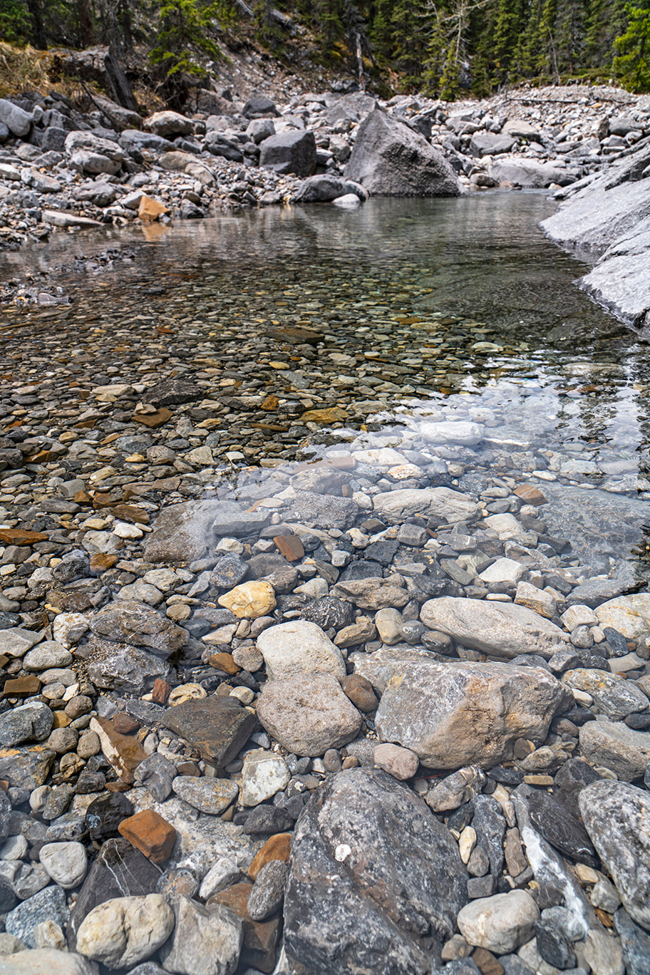
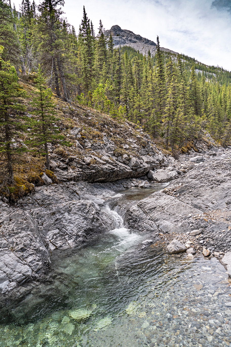
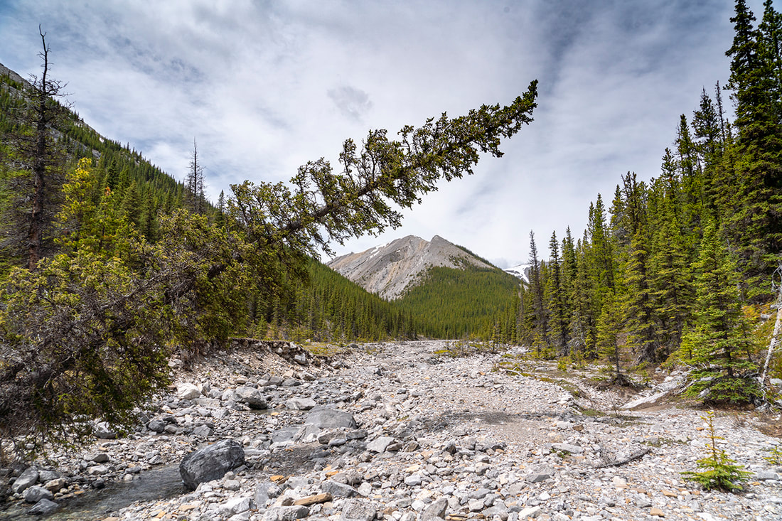
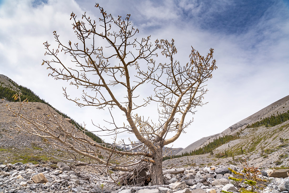
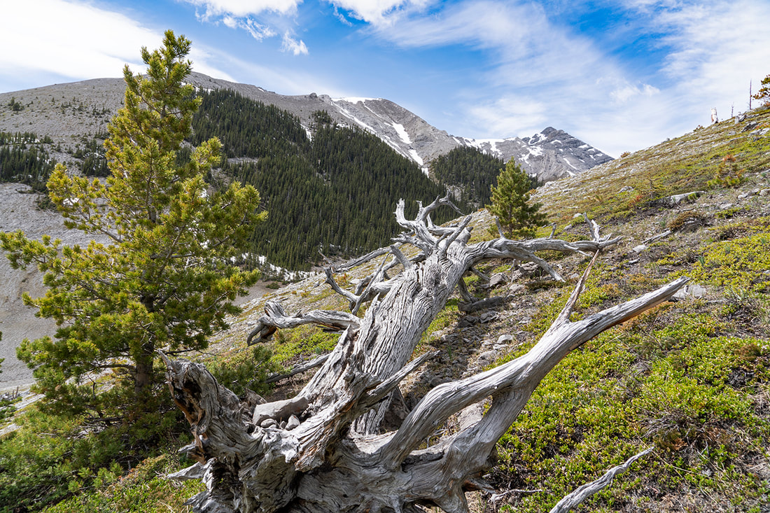
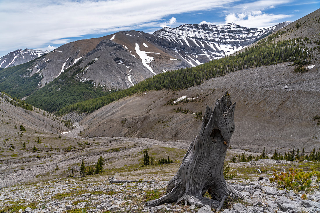
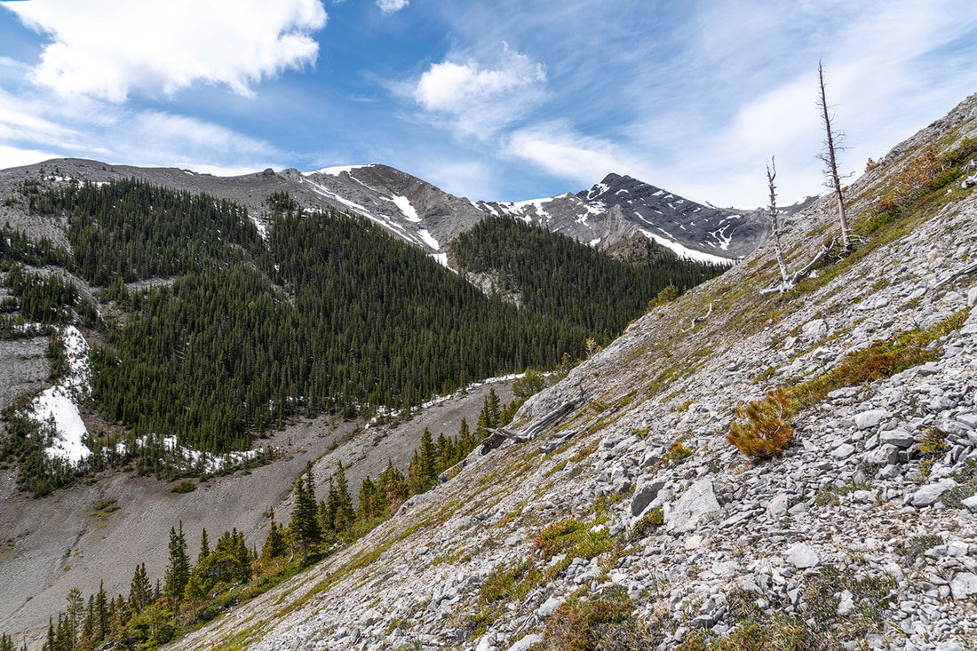
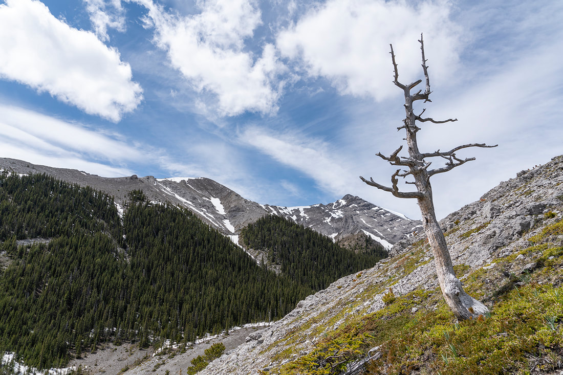
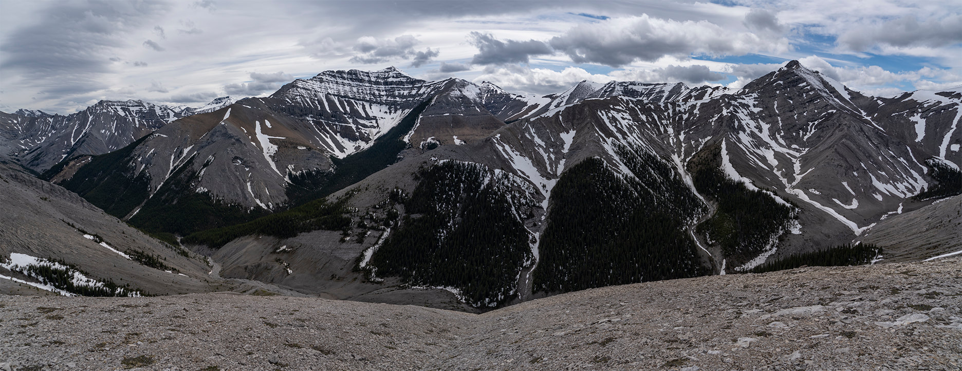
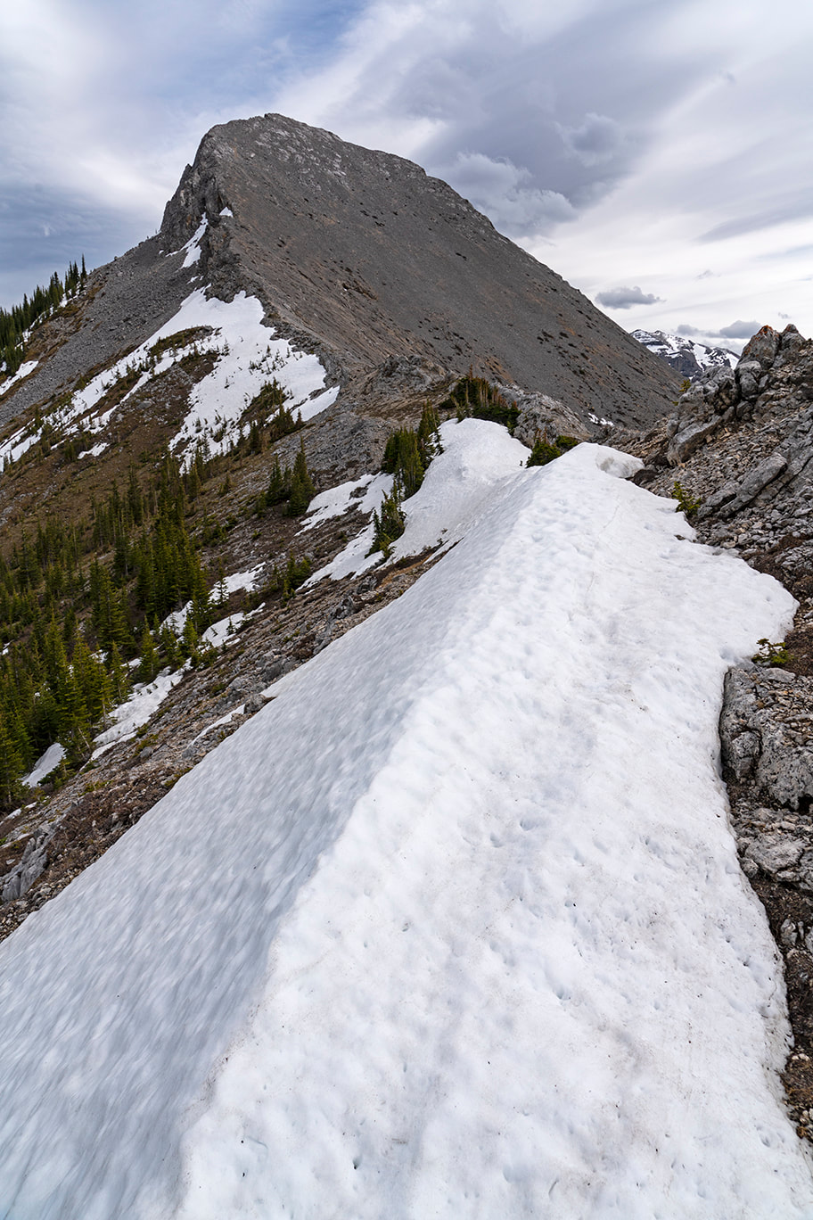
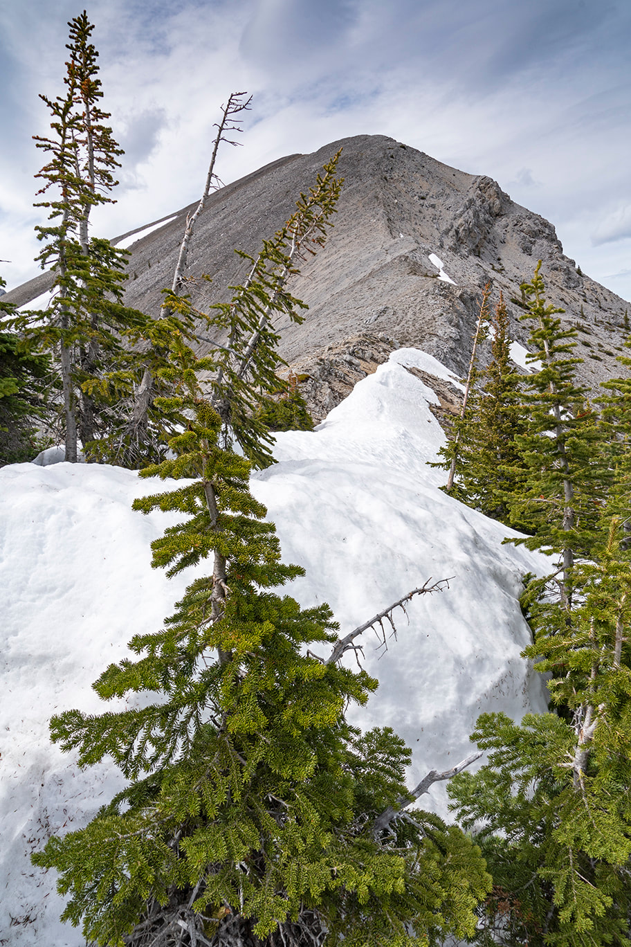
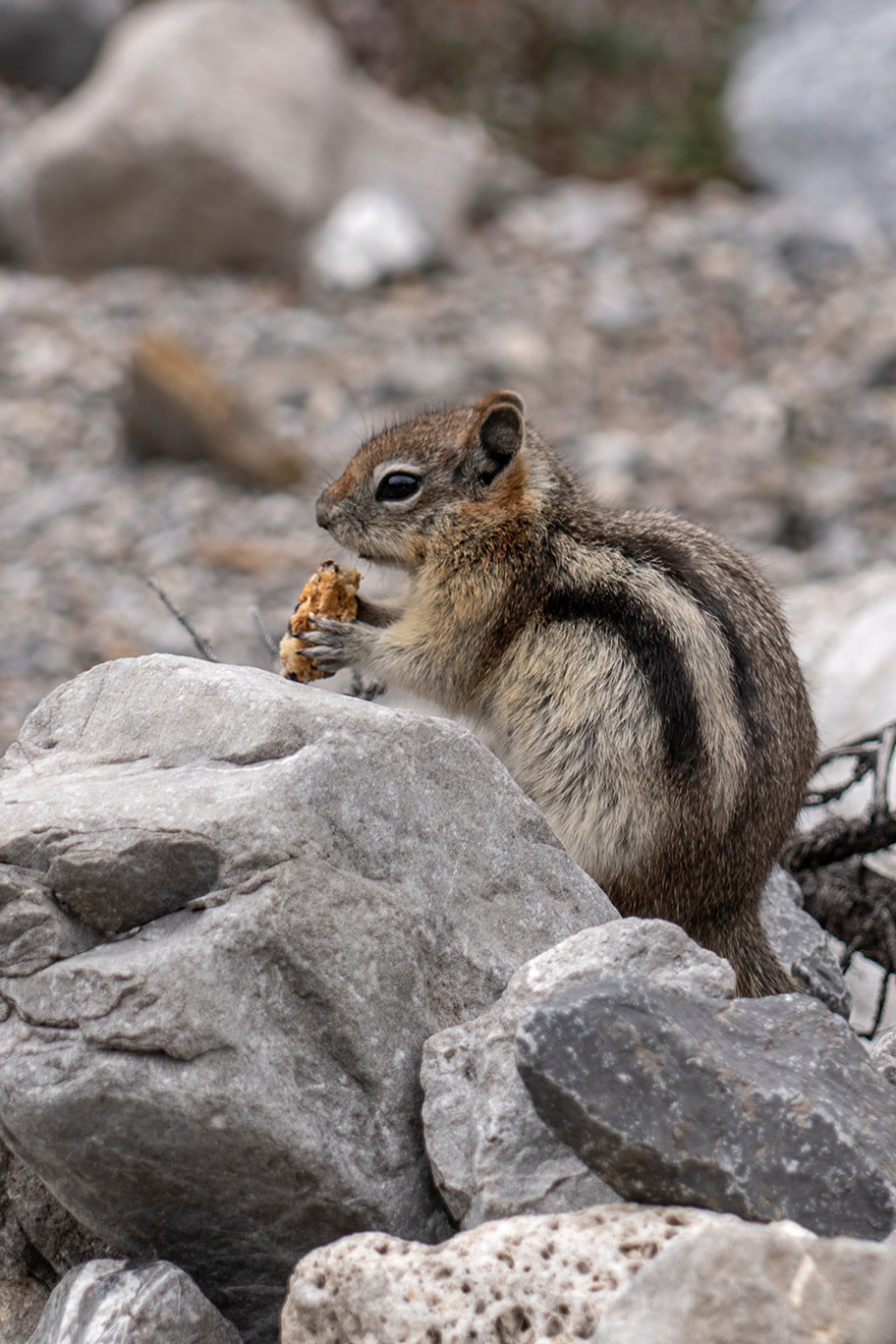
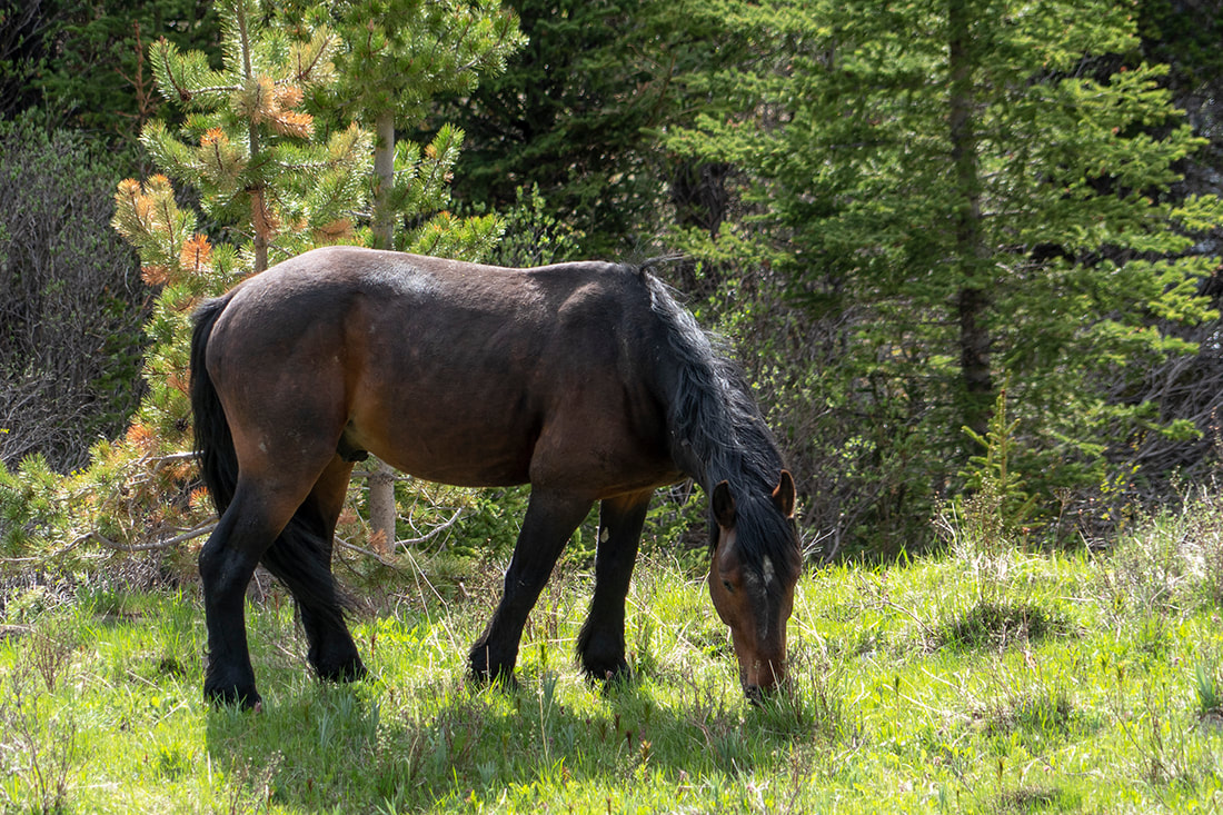
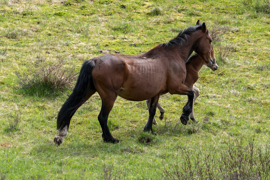
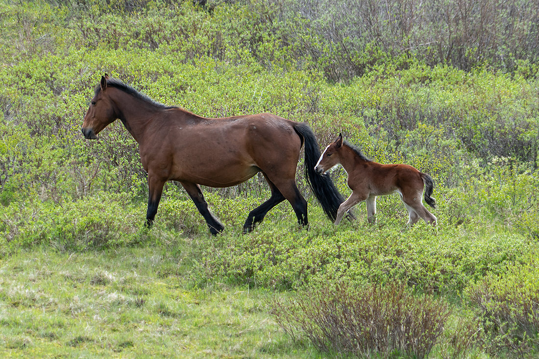
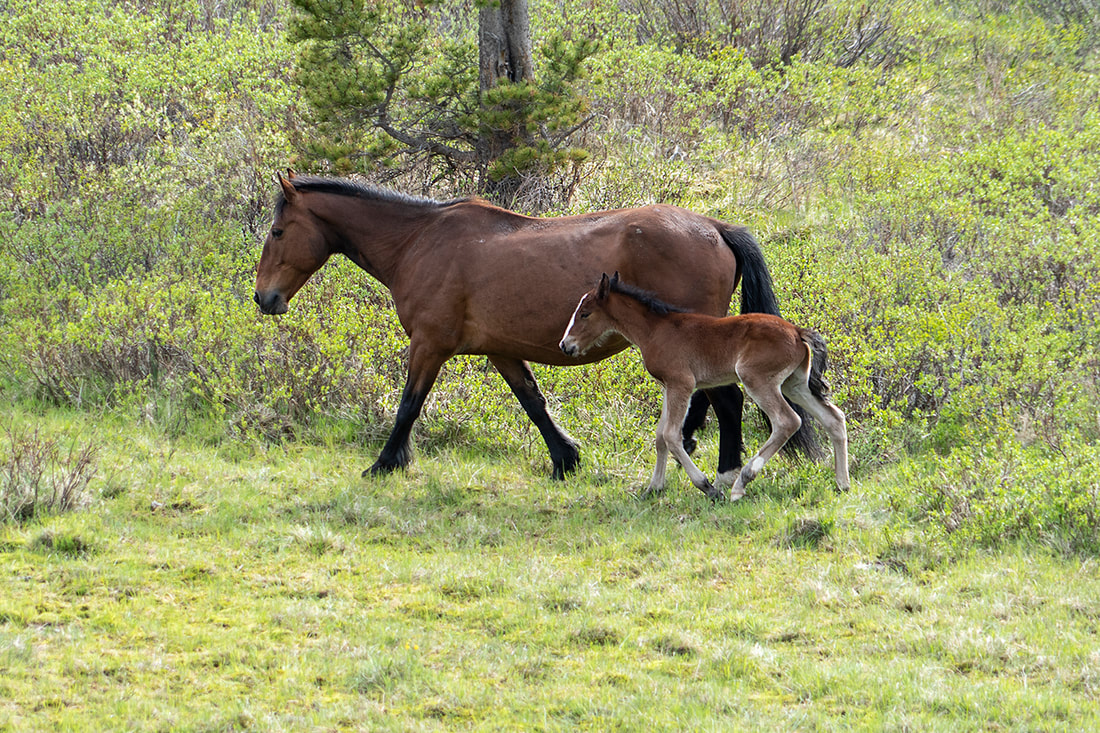
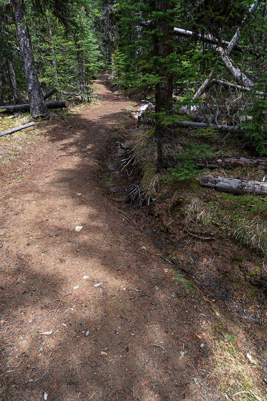
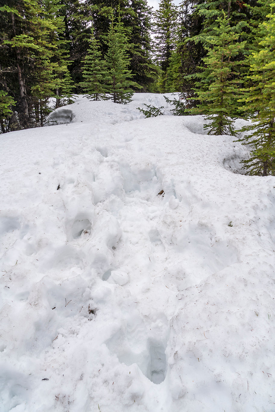
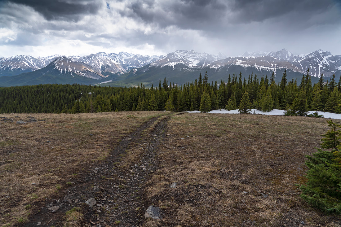
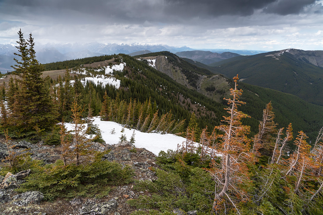
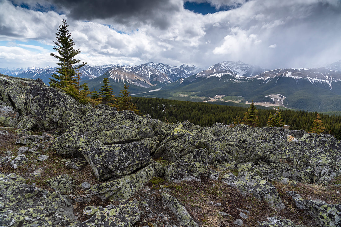
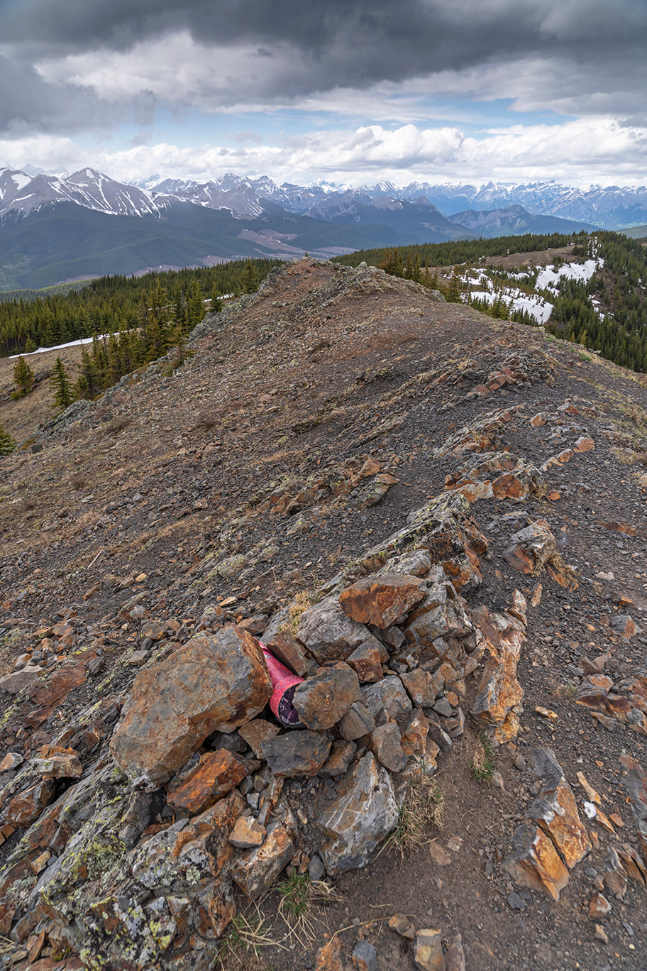
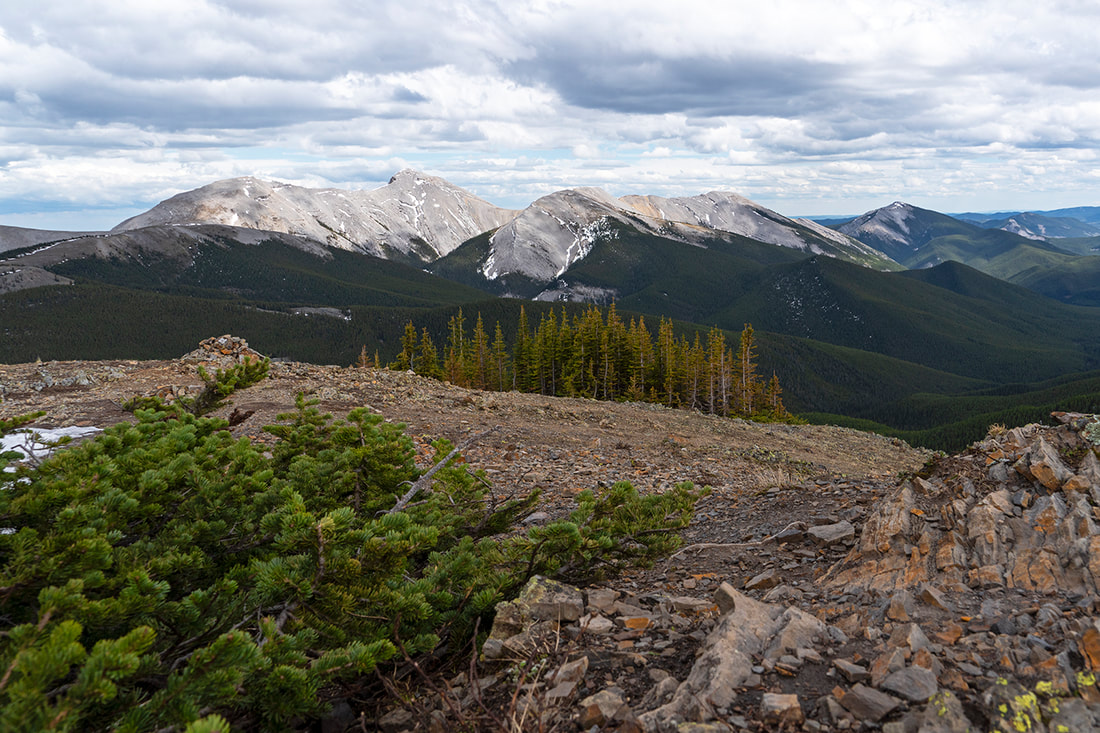
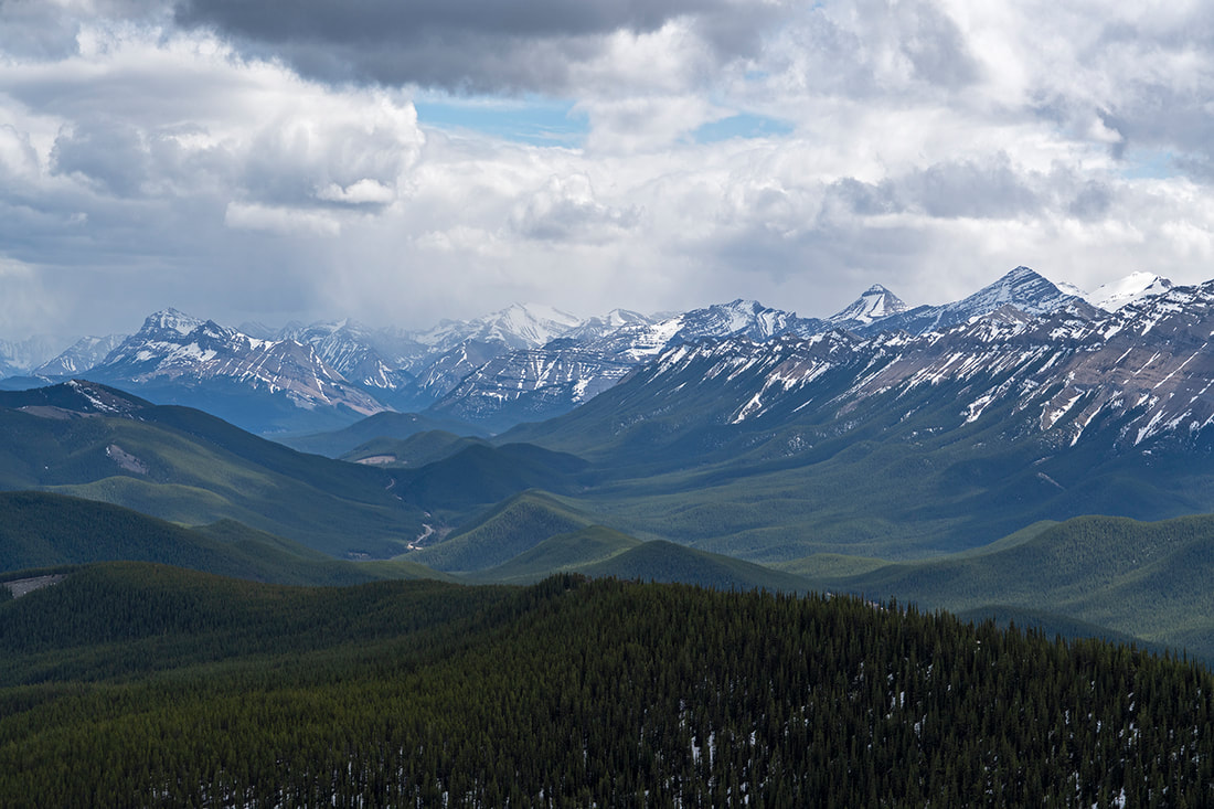
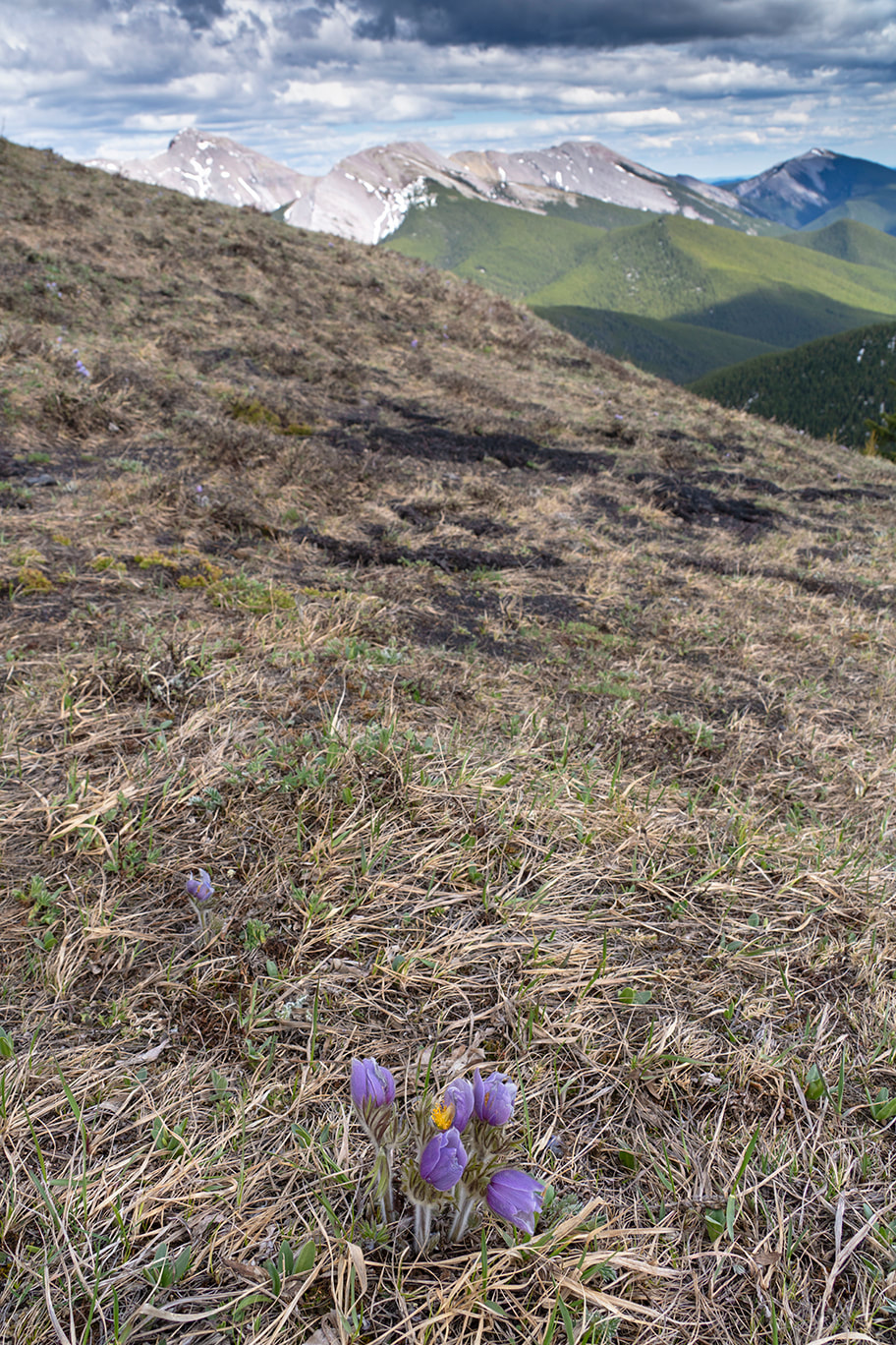
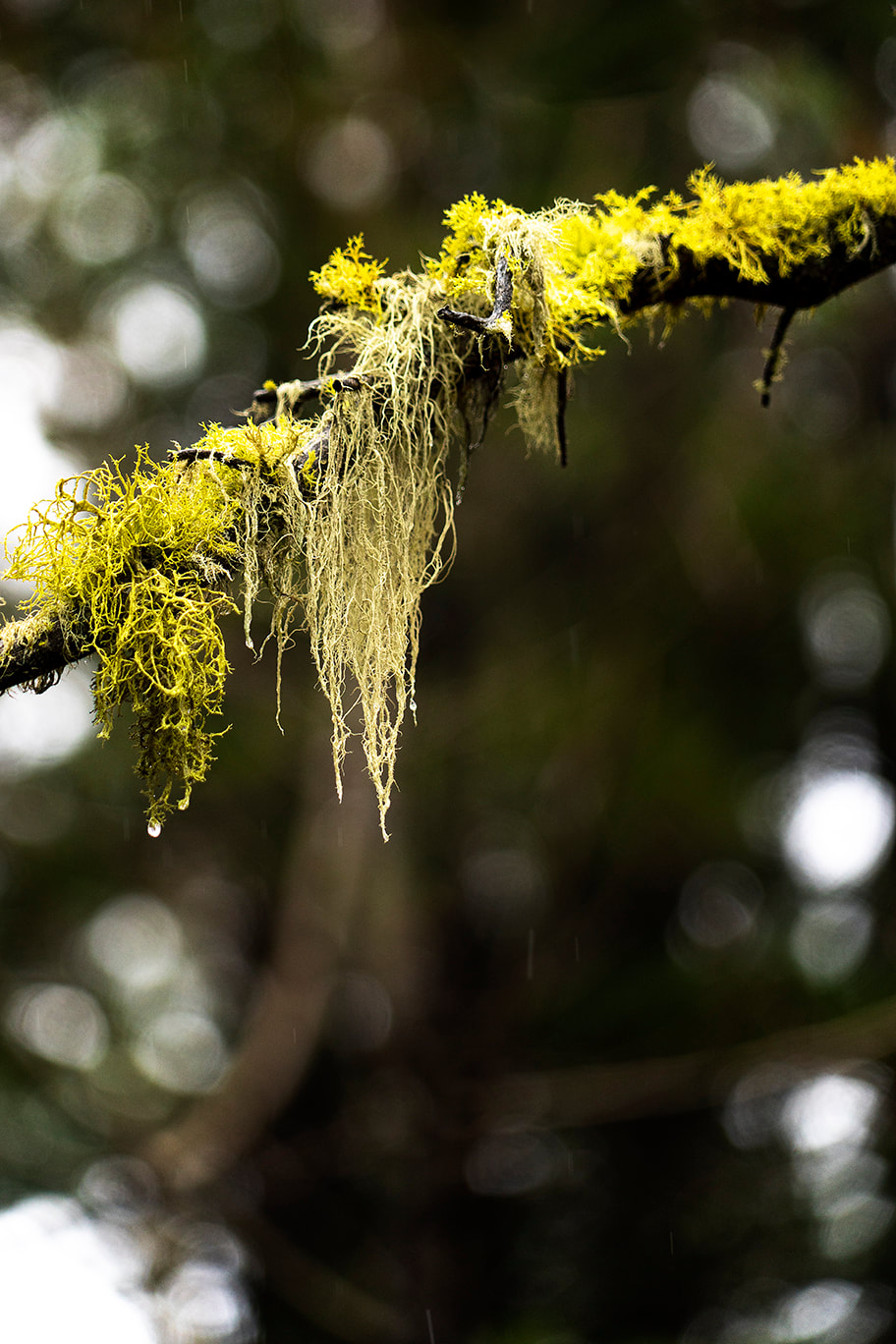
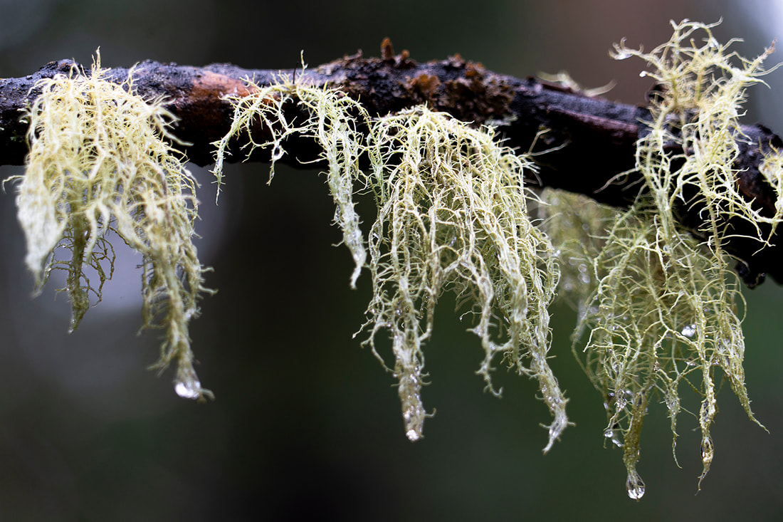
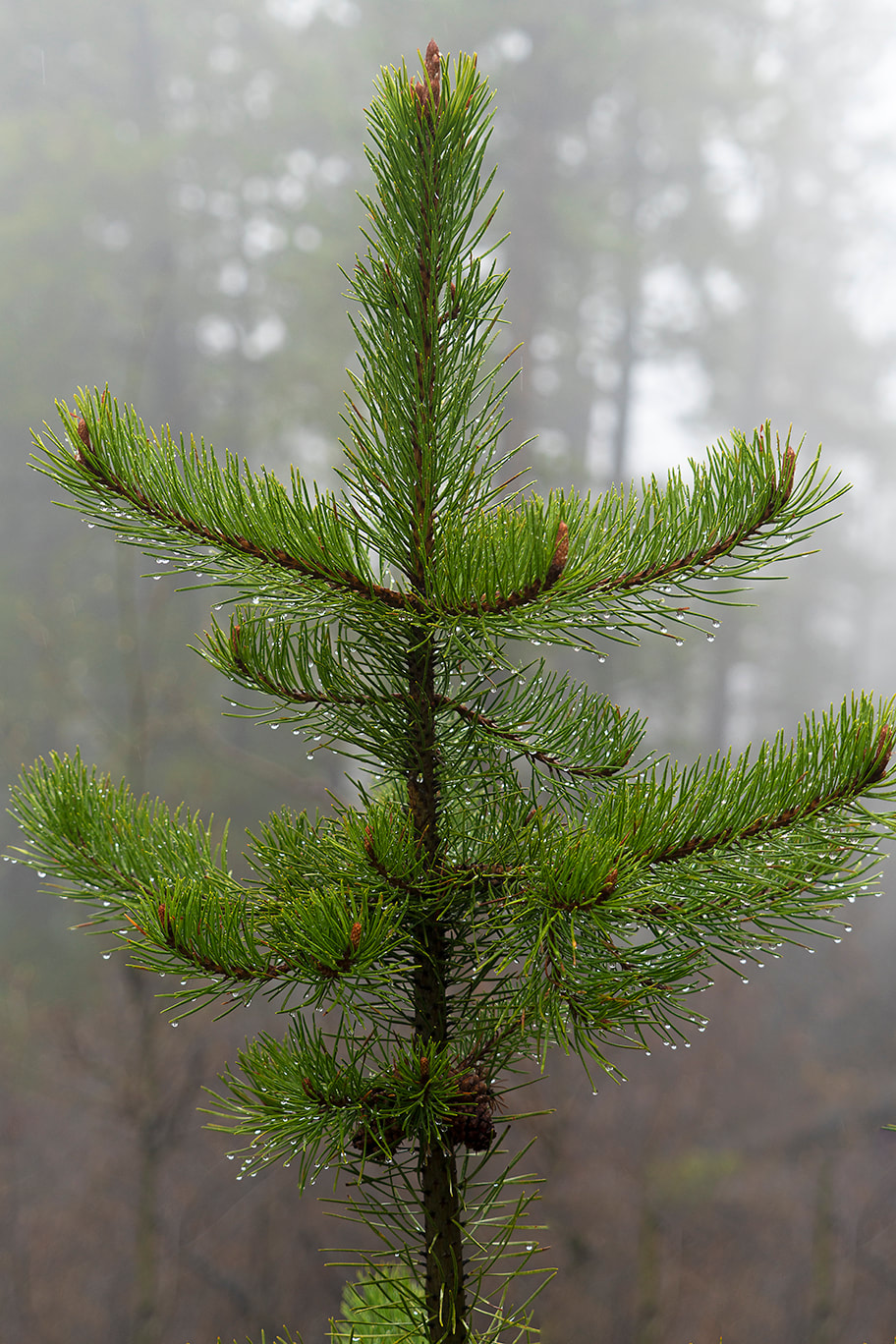
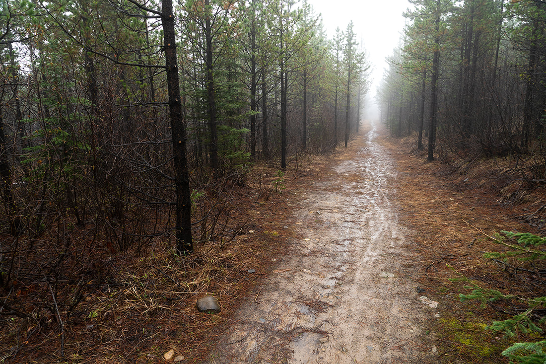
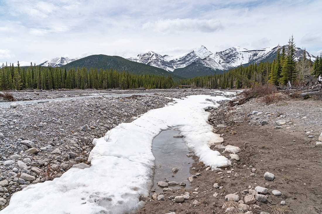
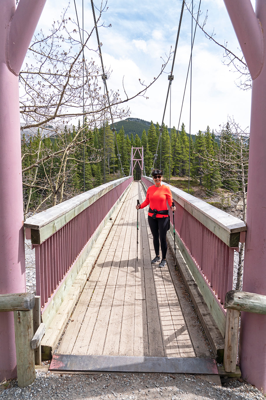
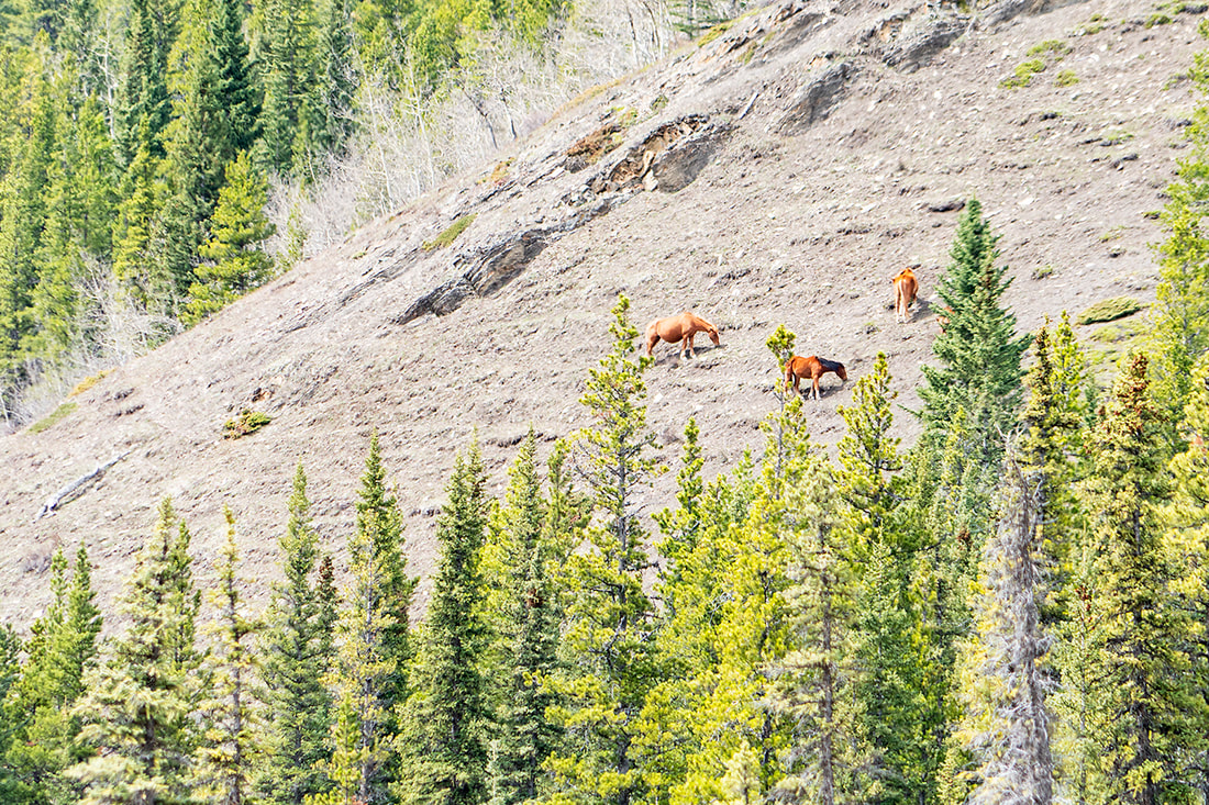
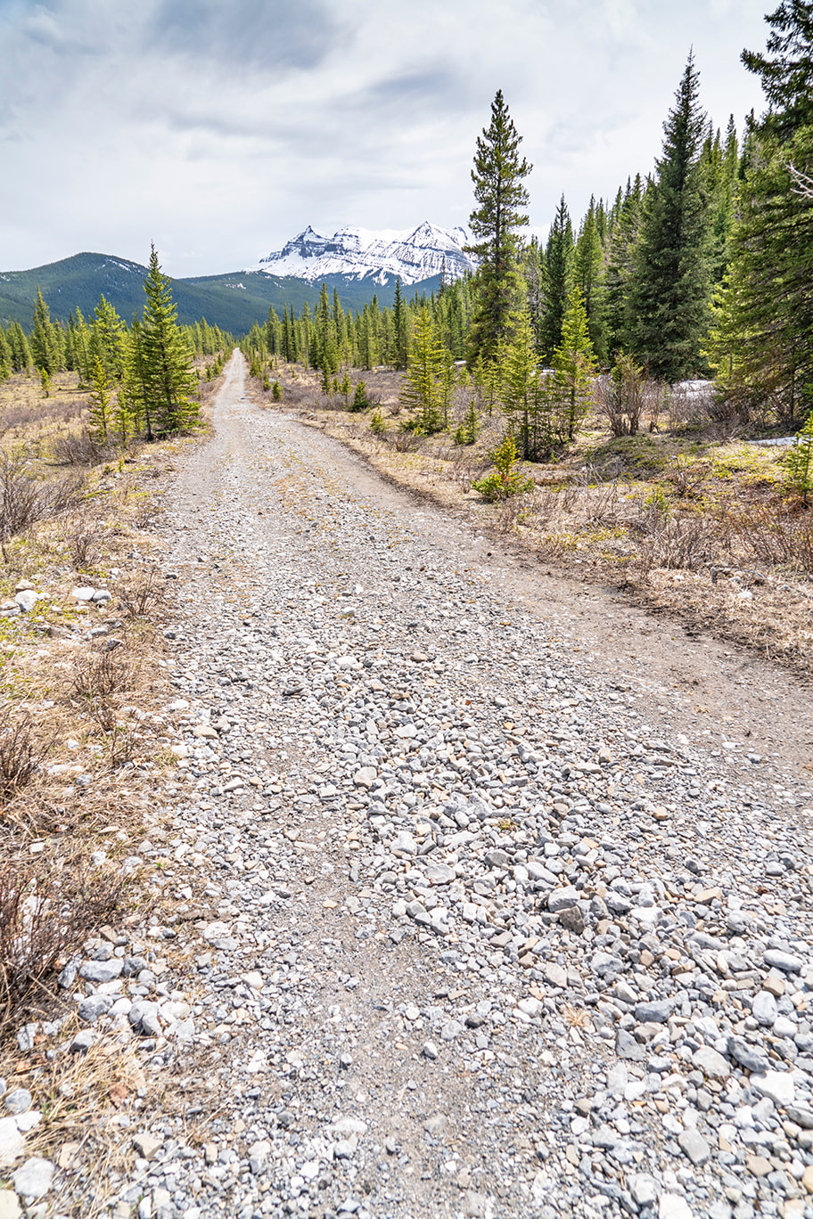
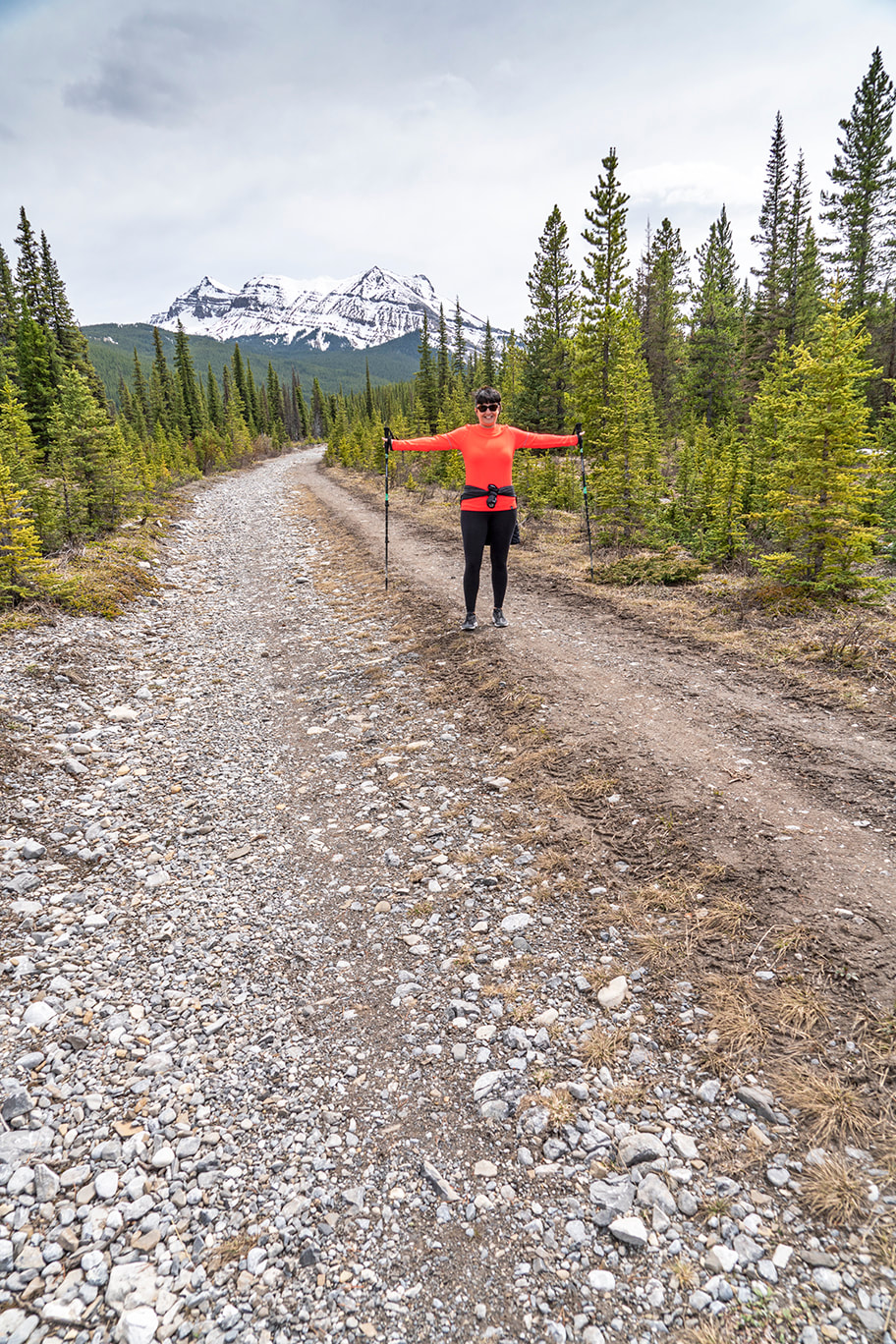
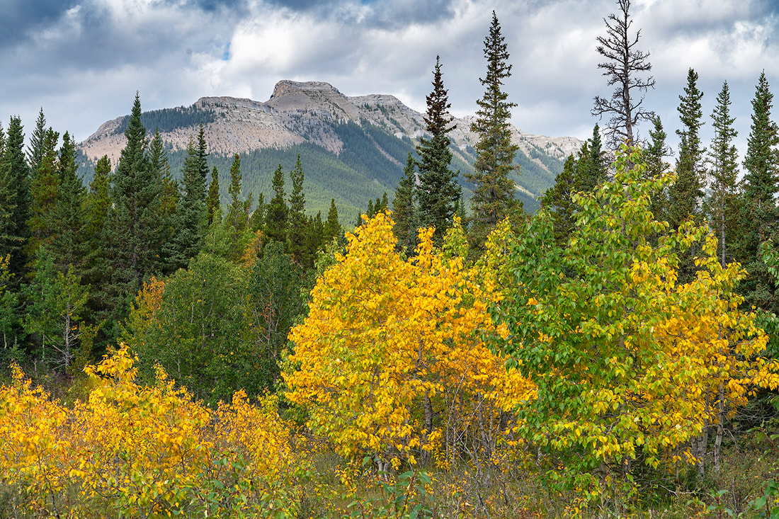
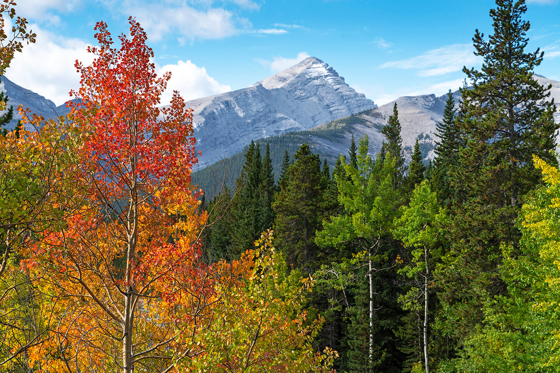
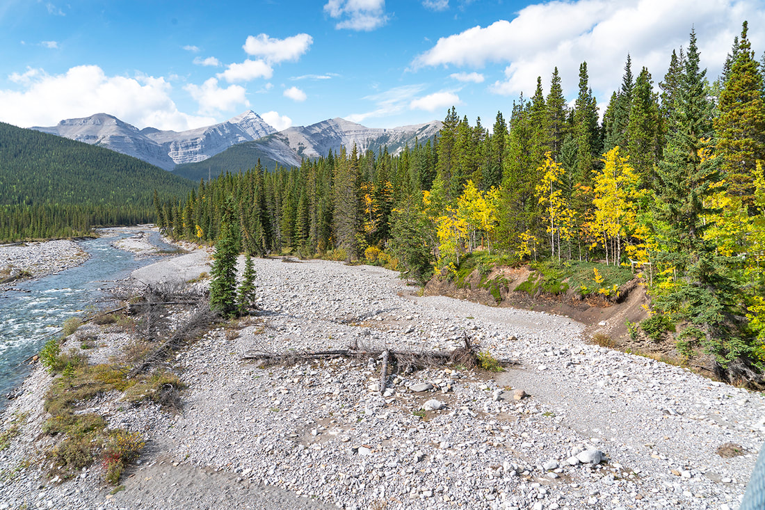
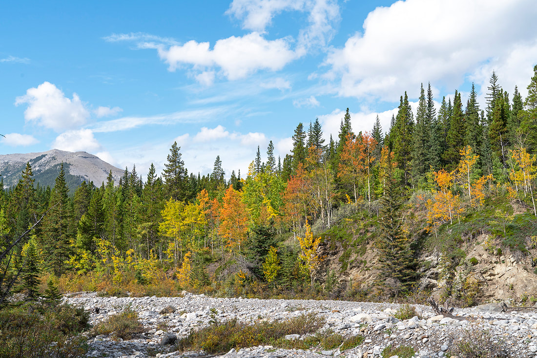
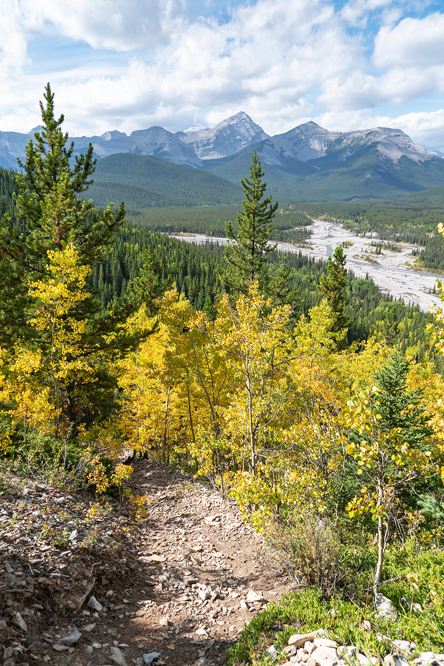
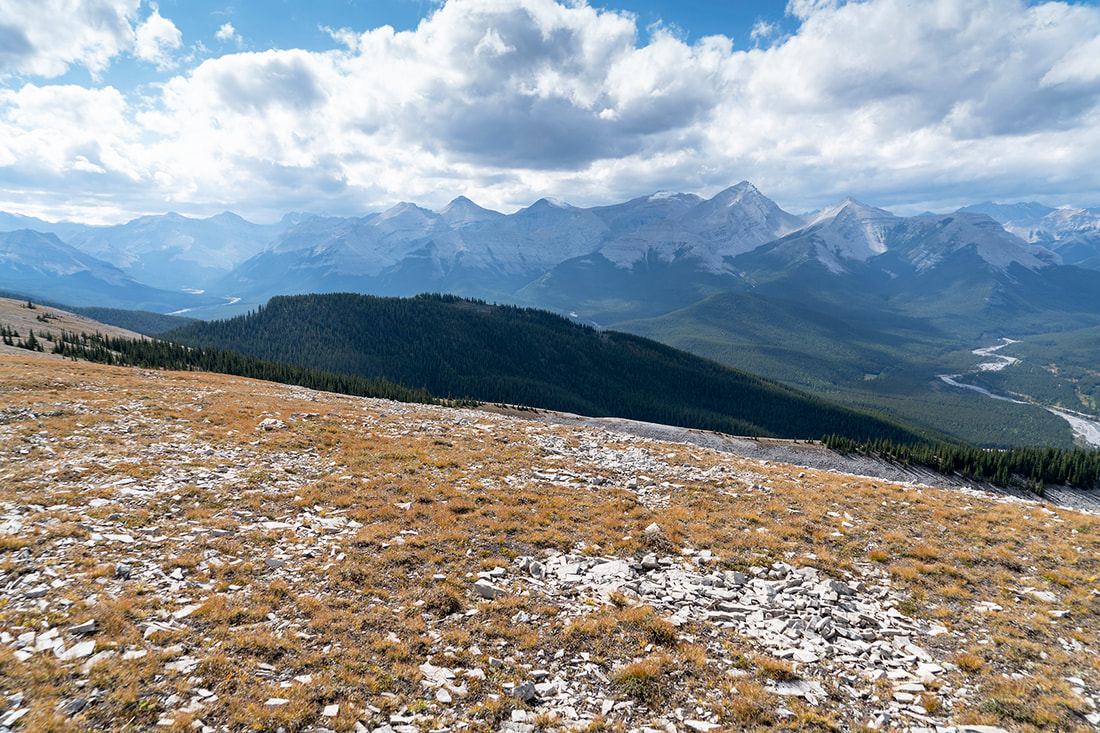
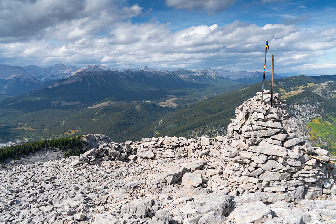
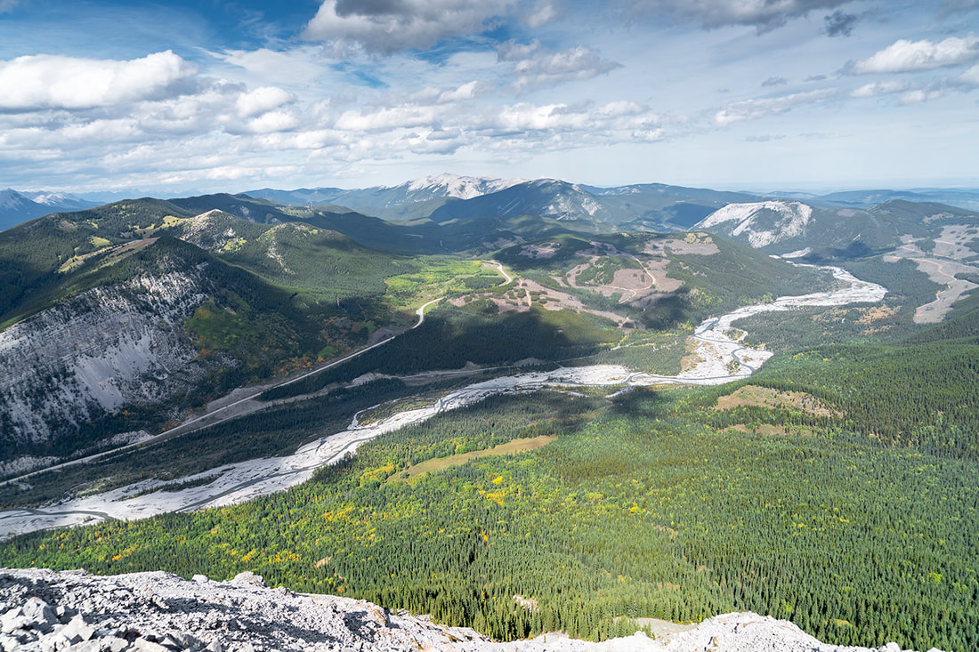
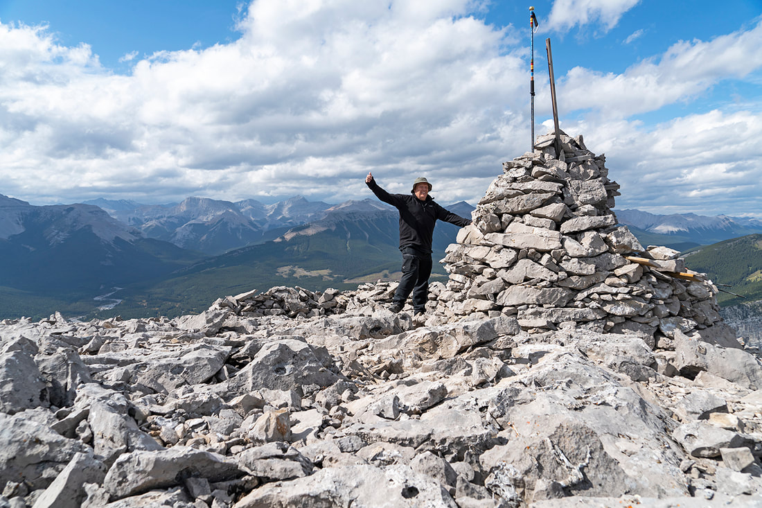
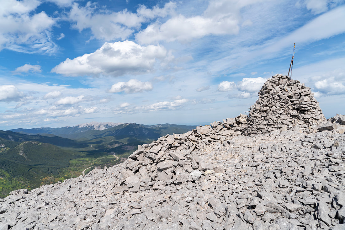
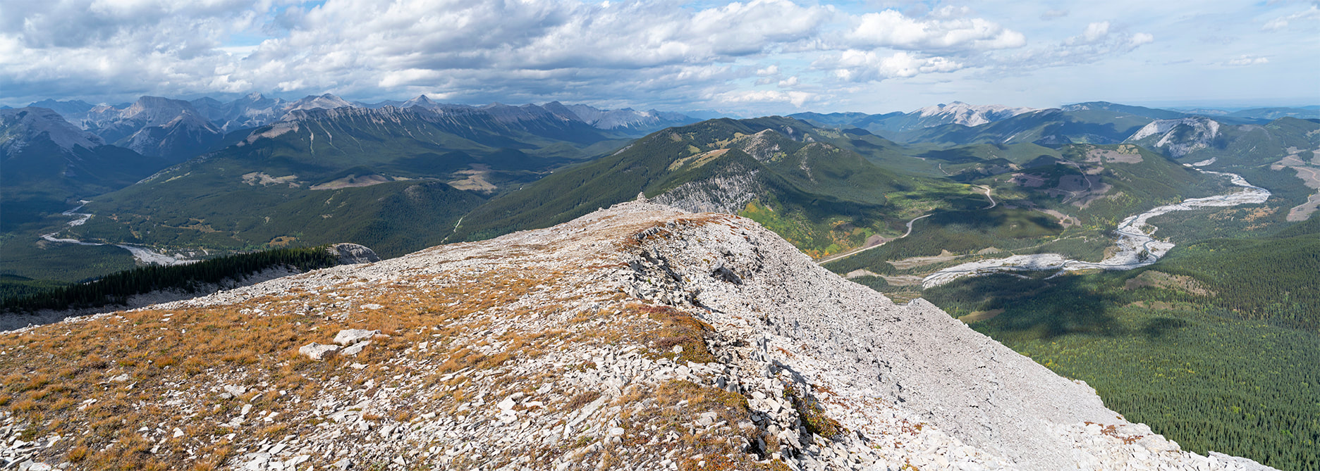
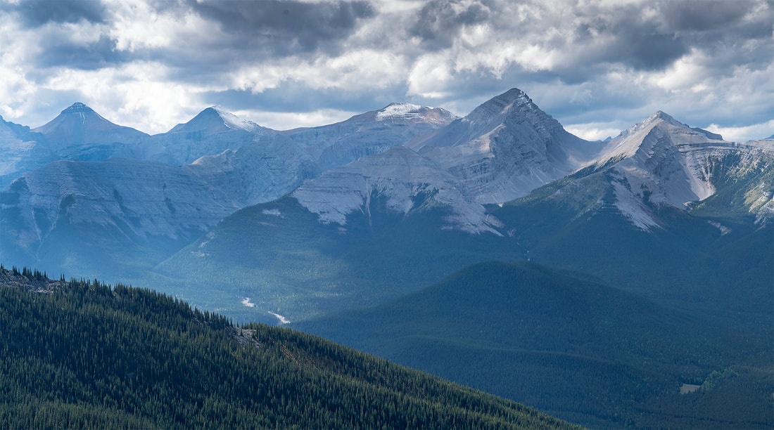
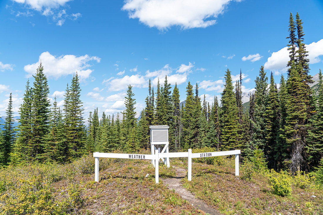
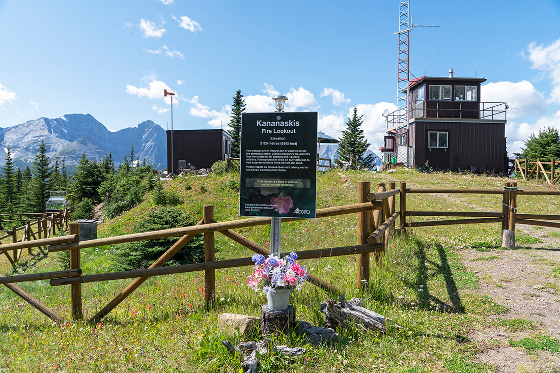
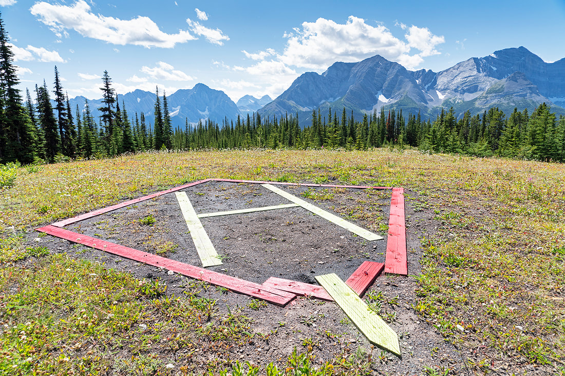
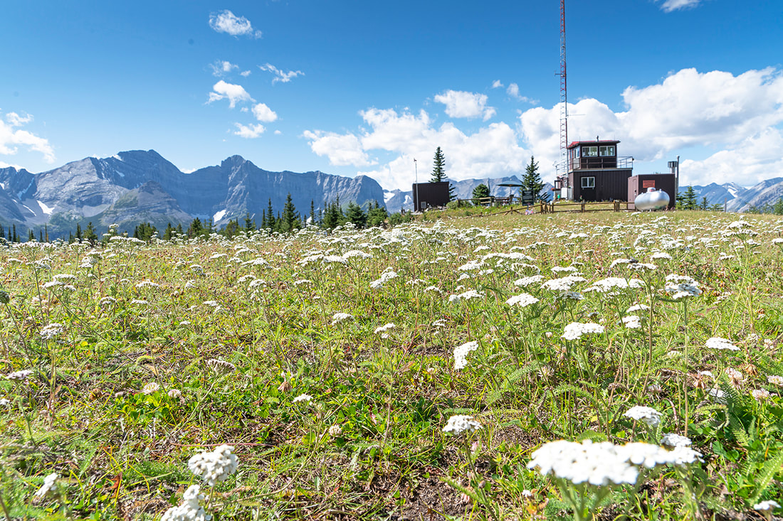
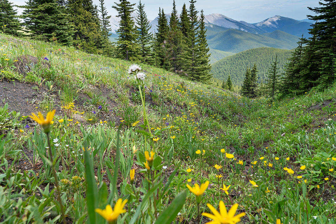
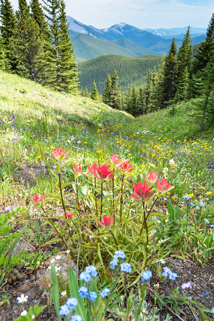
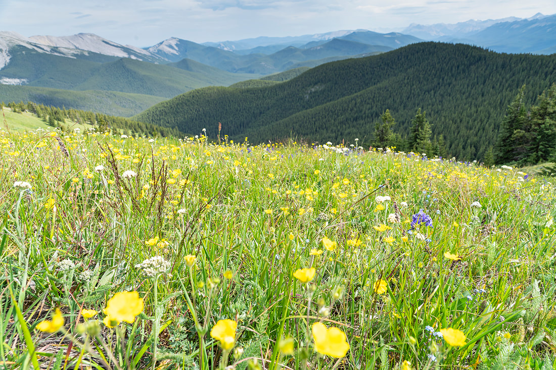
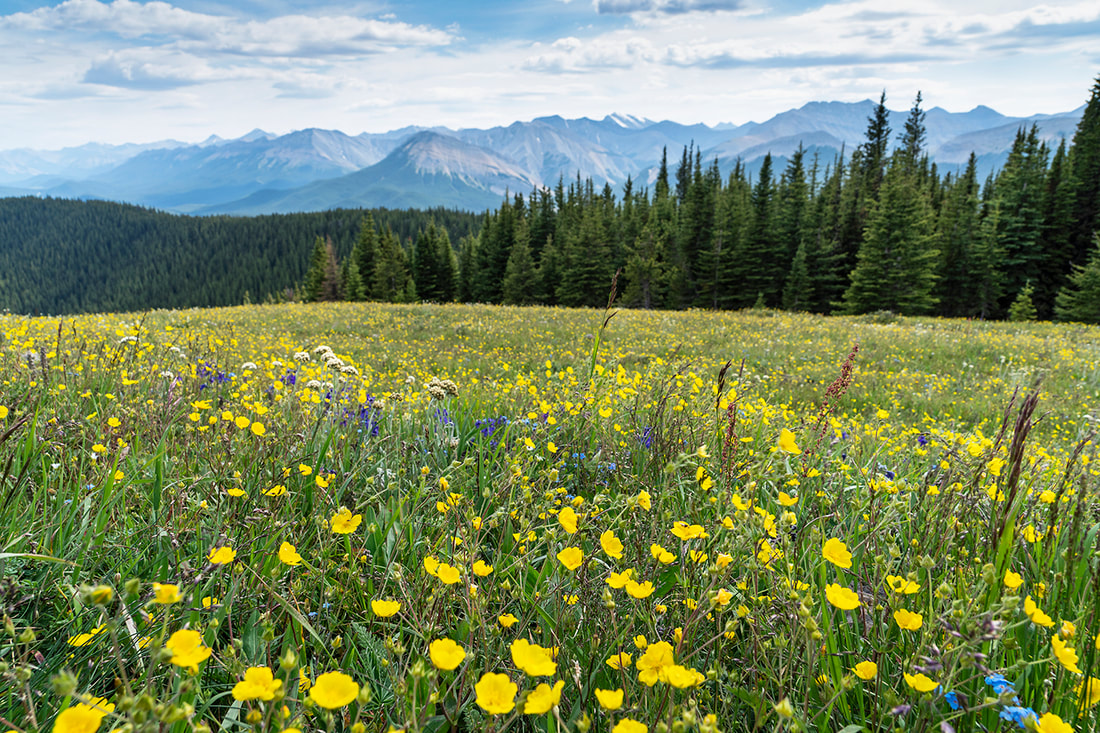
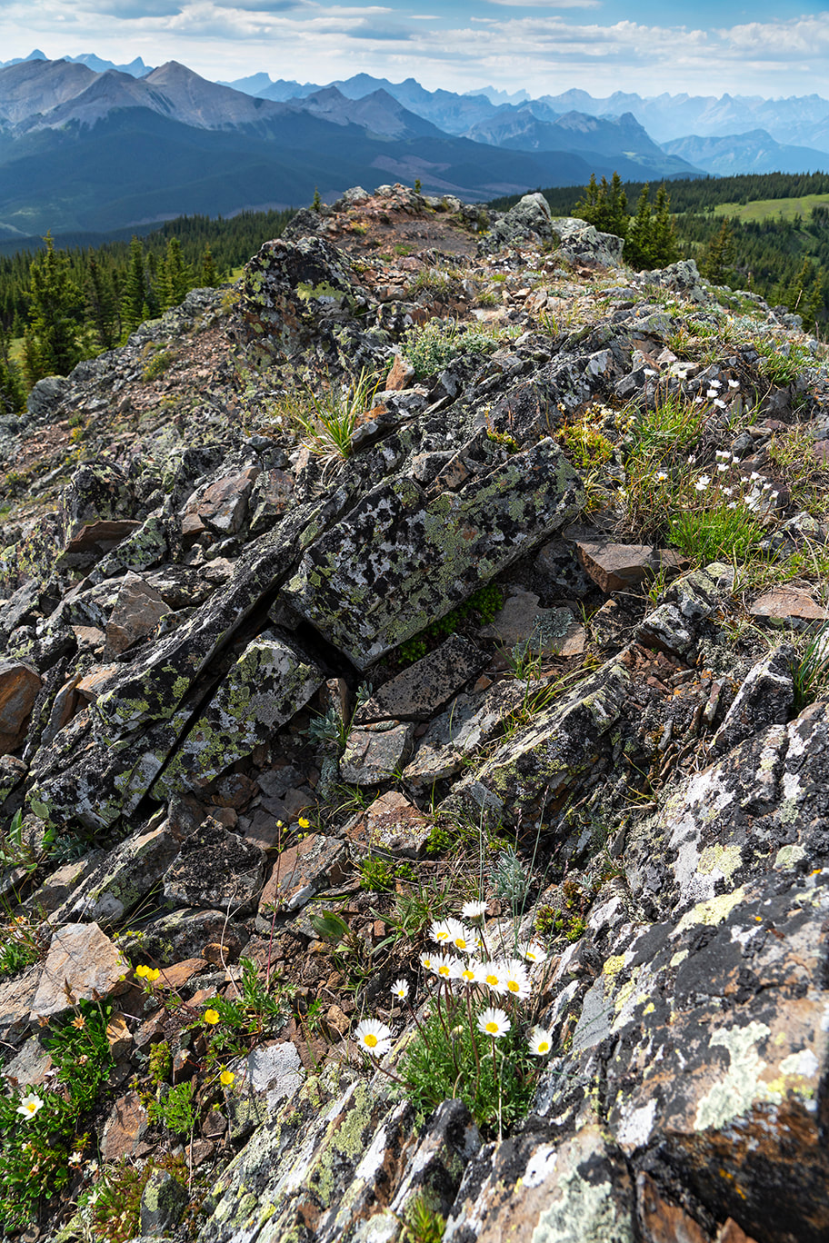
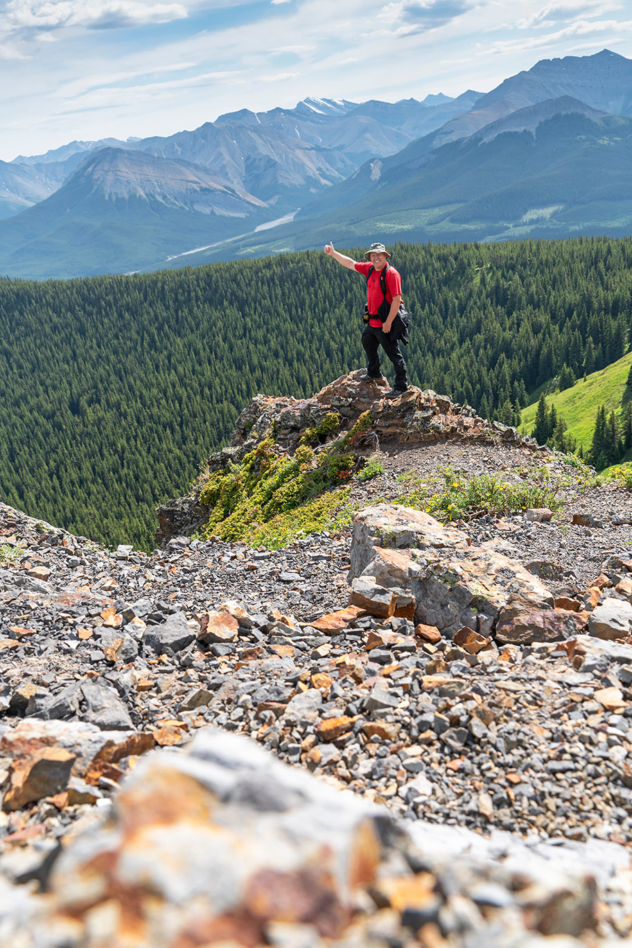
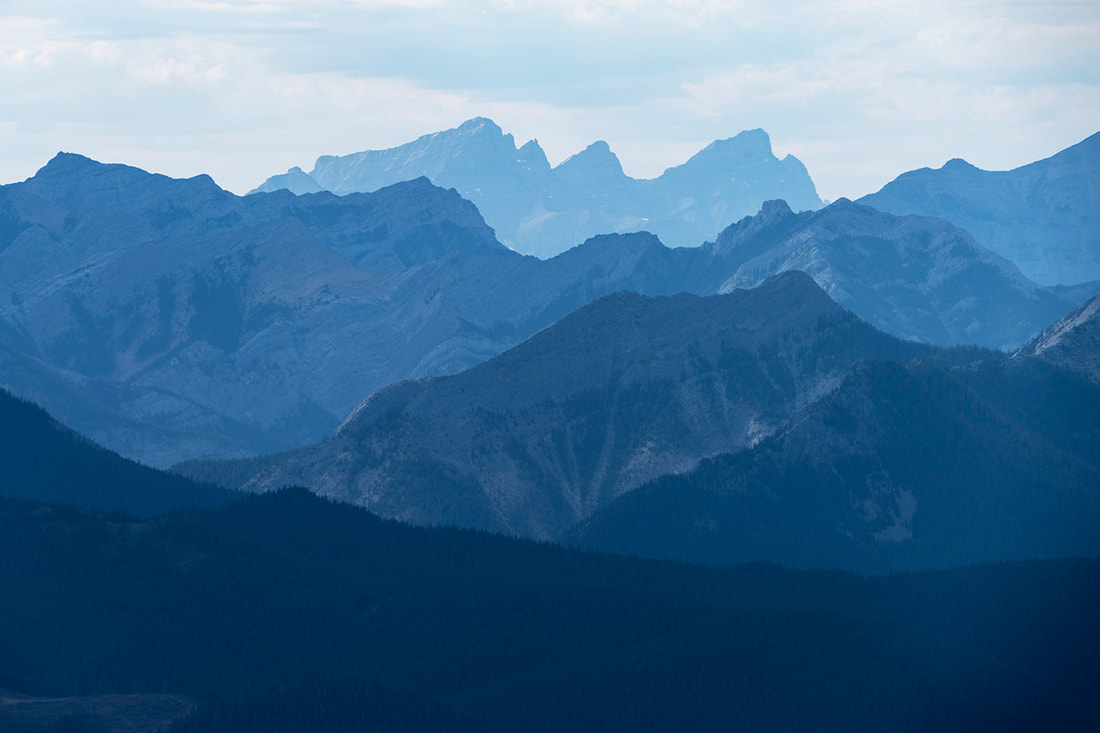
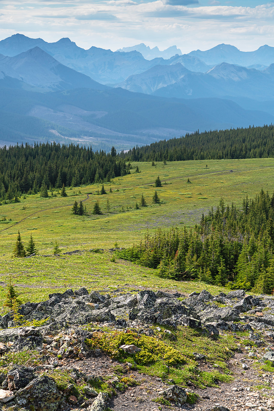
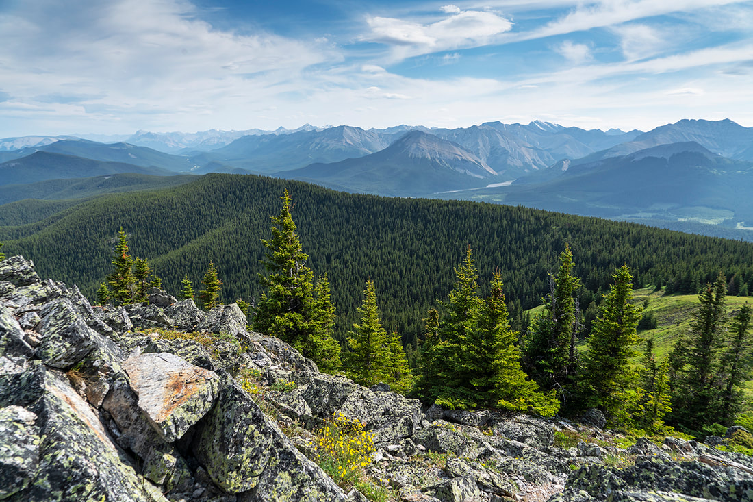
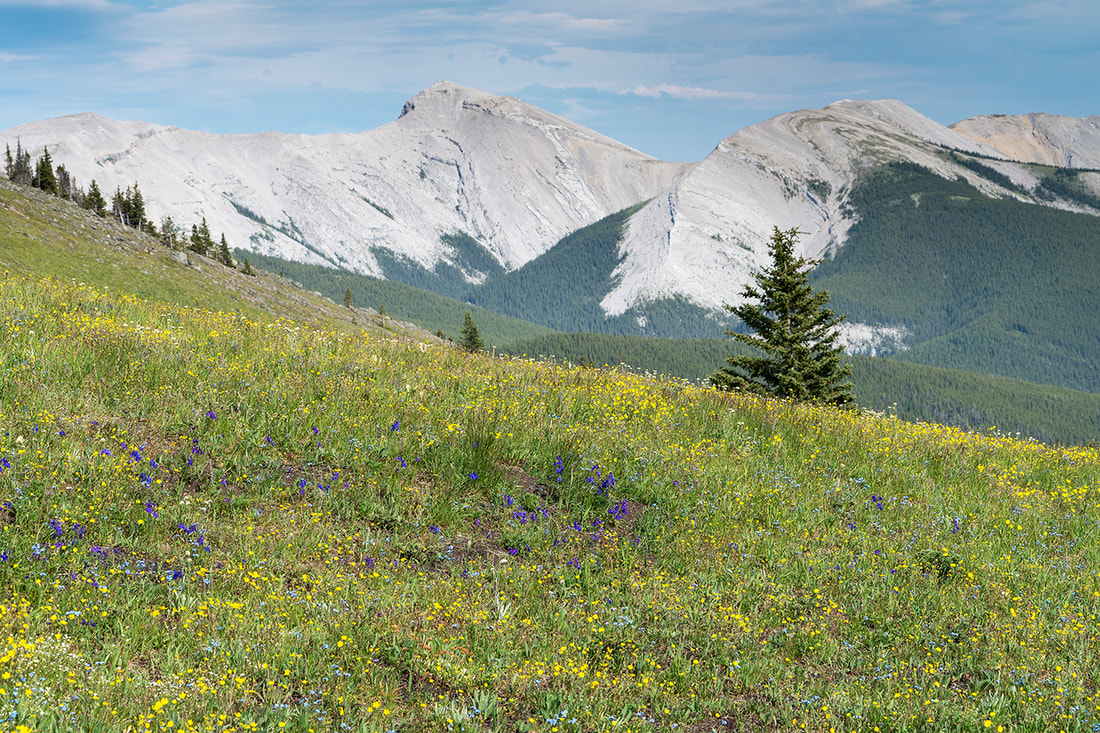
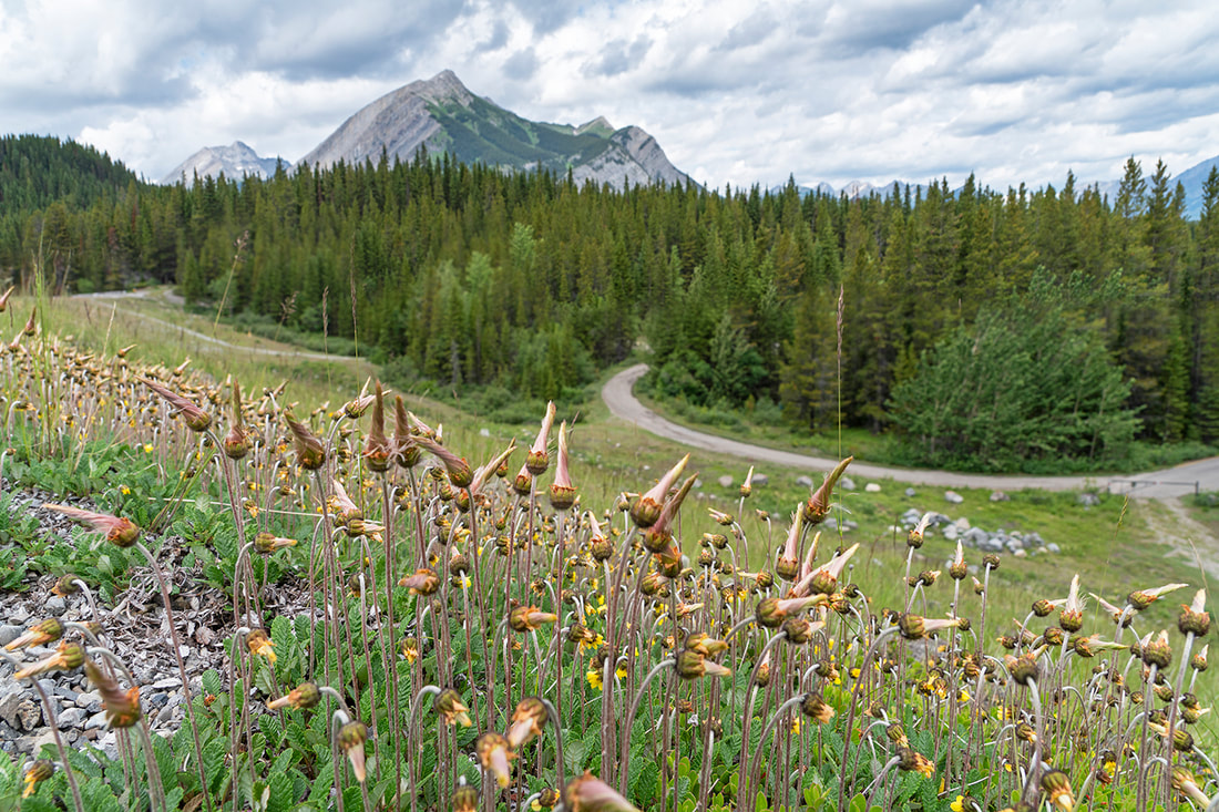
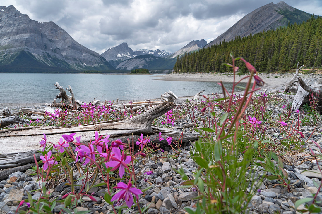
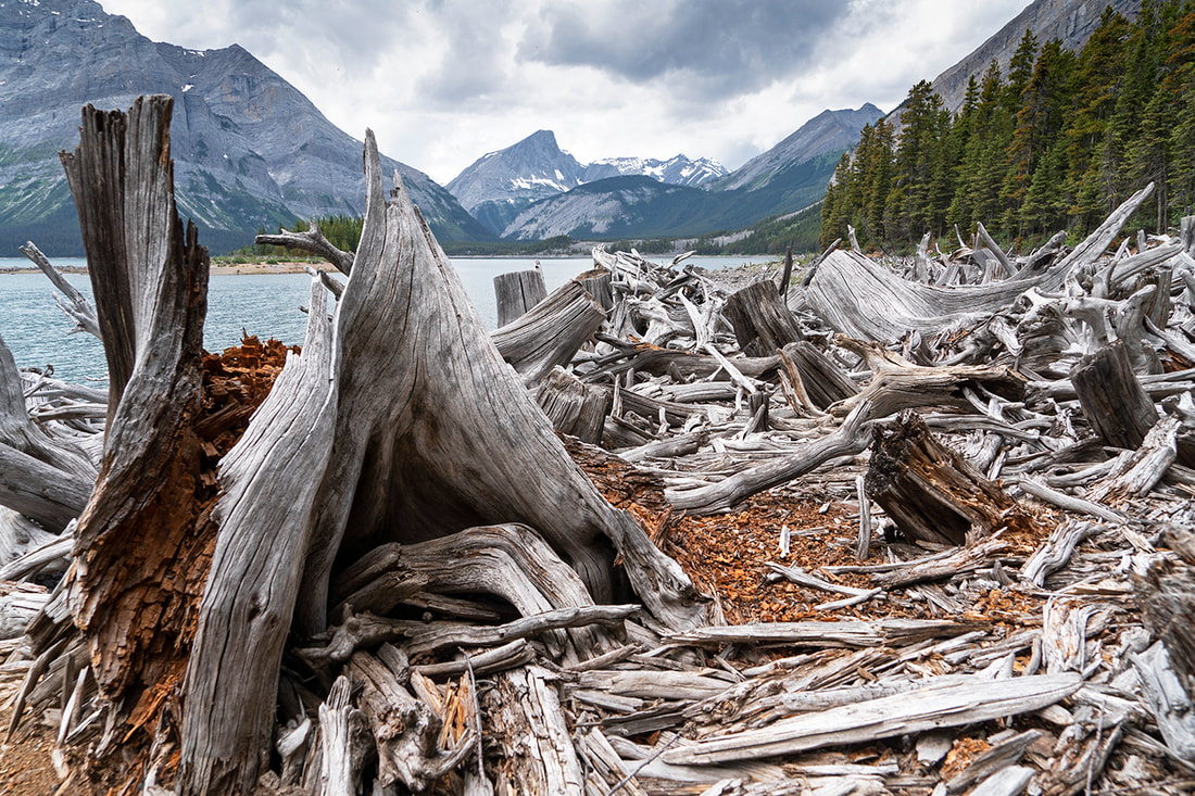
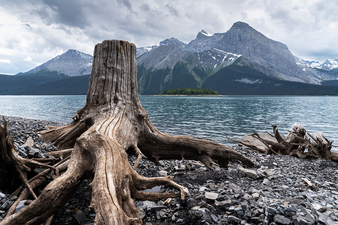
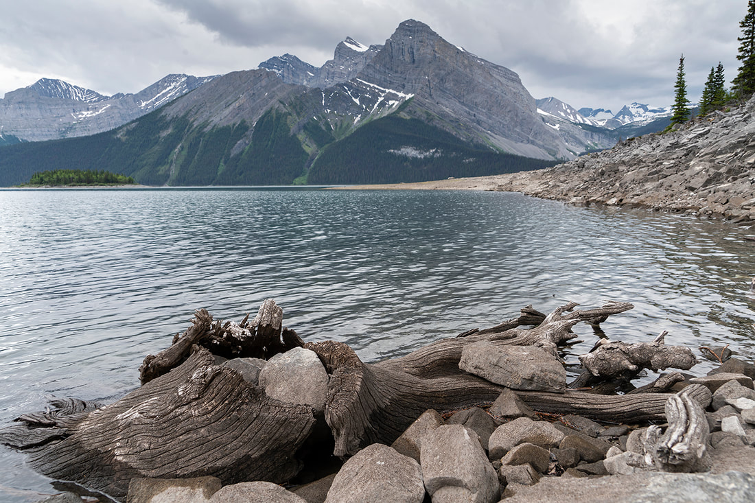
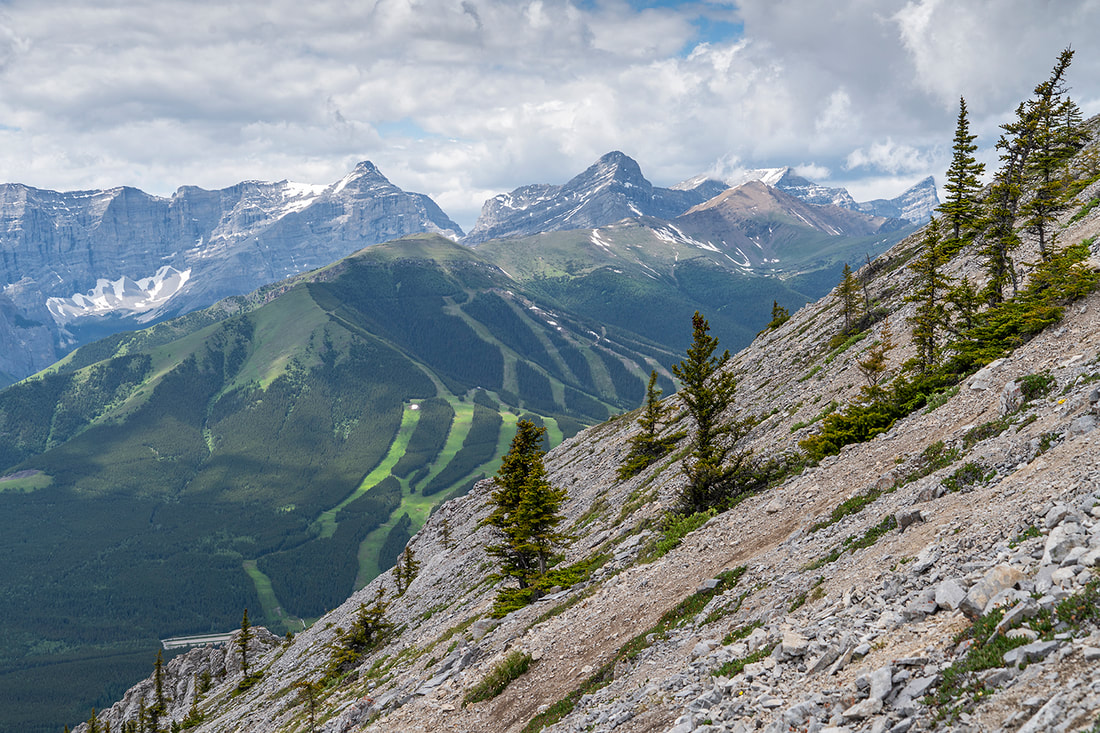
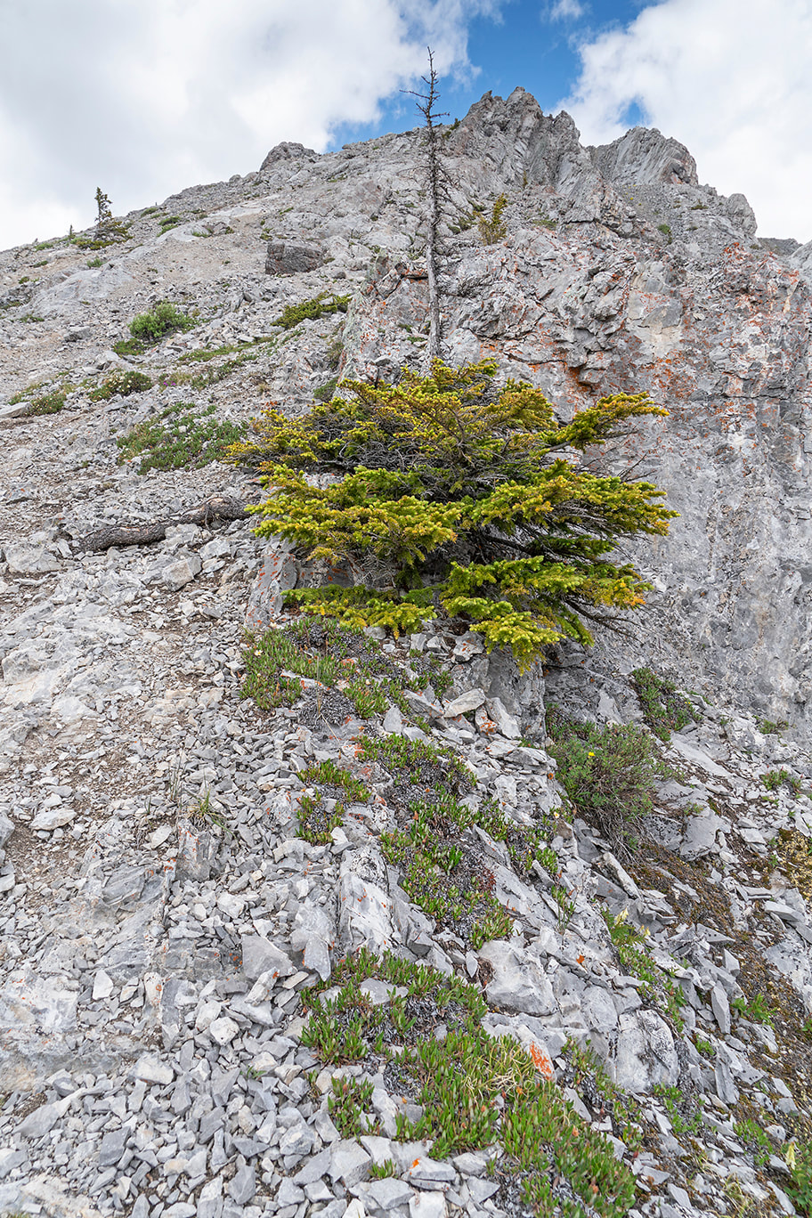
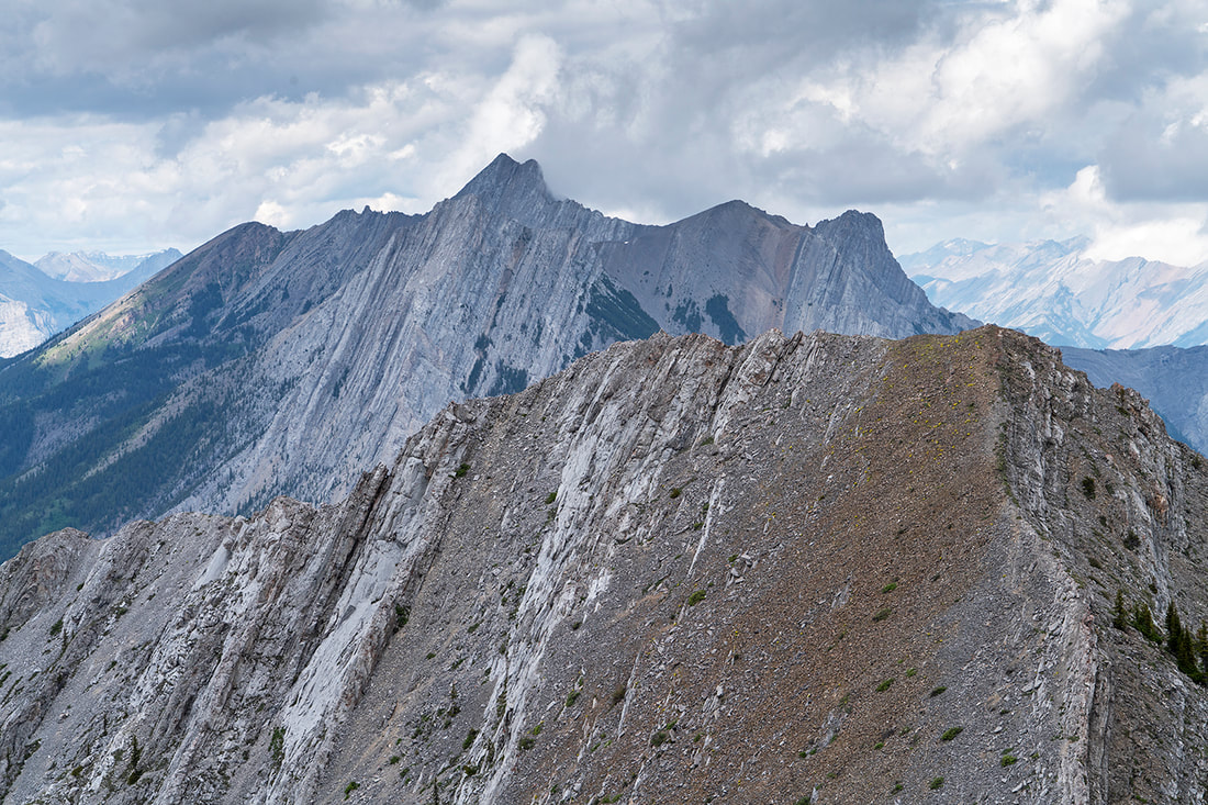
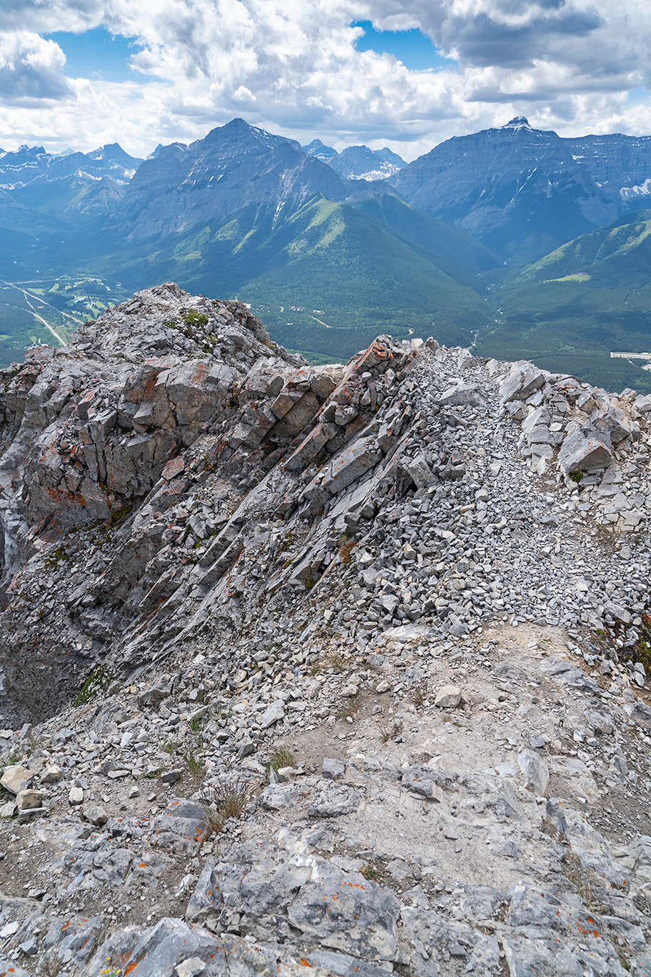
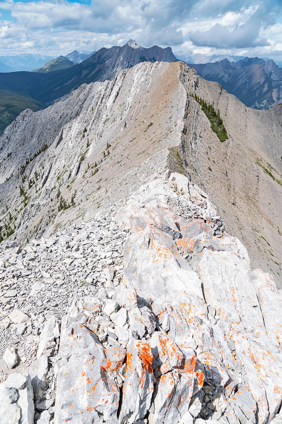
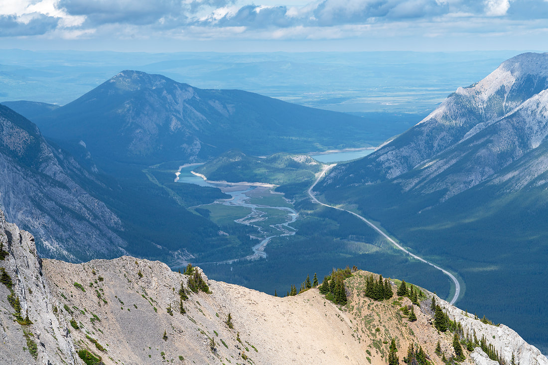
I set out today for a spring leg stretcher in the Elbow Valley. Still cognisant of the 'work from home' crowds filling the place I opted for a quiet area of the powderface trail known as Canyon Creek. Fortunately nobody else had the same idea and I had the place to myself. I walked all along the creek and then ascended the mountain at the end of the watercourse. I had intended to return via the ridge but after walking along it for a while the icy cold wind had me bailing out and returning to the valley for a long walk out. All in all I had almost 3000 feet (914 m) of ascent over 9.4 miles (15.4 km). The ridge is accessible from the other end and provides a much shorter trip if you just go up to the first summit and down again. You can see a previous version of this hike HERE which will show you access points, maps etc. Along the route in, I saw a wild horse herd with a new foal but they we're spooked by me stopping the truck to get a shot of them, on the way out I stopped the truck half a kilometre away and walked slowly up towards them. They still scooted off once I got closer to them, but not before I got a shot of that lovely little foal. It's good to see them still thriving in the valley. Today's main shot is from my initial ascent looking back along the creek with Mt Bryant in the distance. The gallery below has captions. 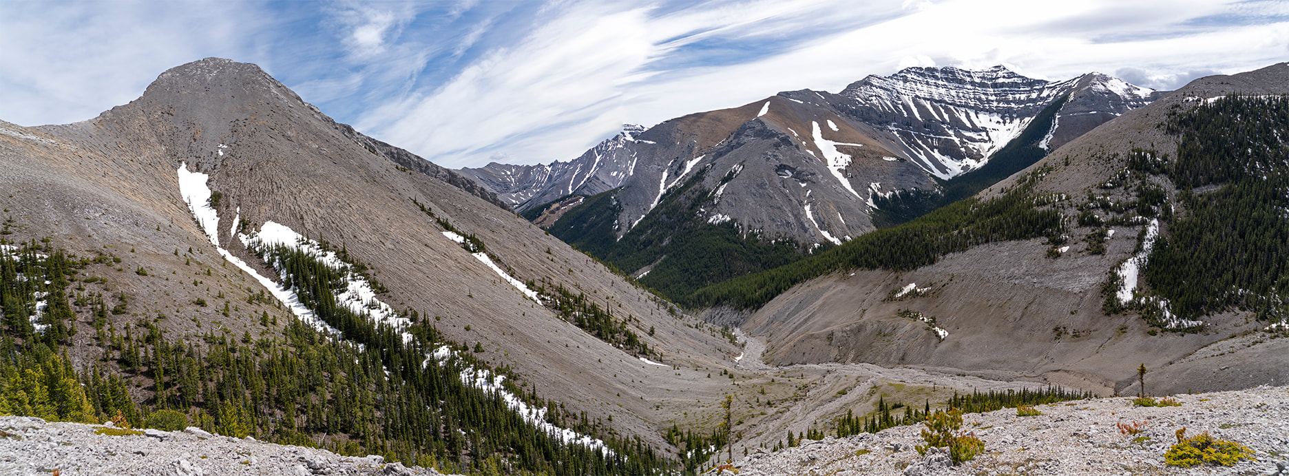 With Sarah hard at work today I decided to get out and hike to one of my favourite spring venues, Jumpingpound Mountain. It was a little early in the year for this one to be honest, as it tends to hold it's snow on the higher portion of the route well into June, but it's out of the way and less likely to be full of all of those 'working from home' folks, so I went anyway. I should at this point admit that it was a terrible mistake, honestly the slog I made through the snow along the summit ridge was ridiculous. However, in my defence, I need the exercise and it's not an overly long hike. When I met two young women heading down who told me it was impassible so they had turned back, I should have called it a day, I didn't. When I hit snow only a third of the way in I should have known what was to come, but instead I picked my way around the tree wells and kept on going. The final third (about 1.5 km) was an absolute slog, truly gruelling and so incredibly energy sapping I almost turned back....almost. I finally made the summit with just a little skin left on my shins. After crashing through the snow so often you will eventually find winter fall under there, repeatedly, trees with a grudge to settle, so their broken branches bite your legs as you unknowingly interrupt their final resting place. The journey down was almost as difficult, and both shins, my left thigh and right knee all lost more skin to those vindictive trees. All in all I could have chosen better today, but I still enjoyed it even though my time at the summit was cut short by repeated snow showers and biting cold winds. For those seeking directions to this (usually) beautiful family hike, you can click here for the details of an earlier one with directions to the trailhead etc. everyone else can flick through the rather dull images from today and feel happy that you didn't have any skin in this particular game! 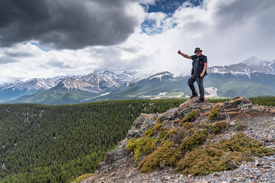 My 'go to' spring location is West Bragg Creek. It's close to home and clear of snow early in the year and, because it is wet in the spring, there are few mountain bikes on the trails at this time. Today I did one of my usual routes covering 13 km of muddy trail in the rain, it was much more enjoyable than it sounds. I had my lightweight gear on and ultralight waterproof stuff over the top, the result was a warm dry me in a muddy wet forest. I found it quite challenging to make images, mainly due to the inclement weather and my camera and lens choice for the day, it was my old A7r, taken as a hedge against the weather potential. As it transpires the trees and my rain gear kept the water away almost entirely, so maybe next time I venture out in the rain, I'll take my better camera gear. It was really enjoyable with absolutely nobody around for almost the entire circuit, I did see two teen girls jogging who were absolutely filthy with mud splatter from head to toe. It's an indication of how muddy the trail was that they slowed to pass me so they didn't splash me in the same manner. Higher up in the forest the low cloud presented some photo opportunities giving me my own cloud forest for 5 km or so, all in all I would definitely do this again as the rain gear rarely gets an outing and I didn't really notice the rain once hiking. The main shot today is of the forest as I ascended into the low cloud for the first time, the gallery has captions as usual. 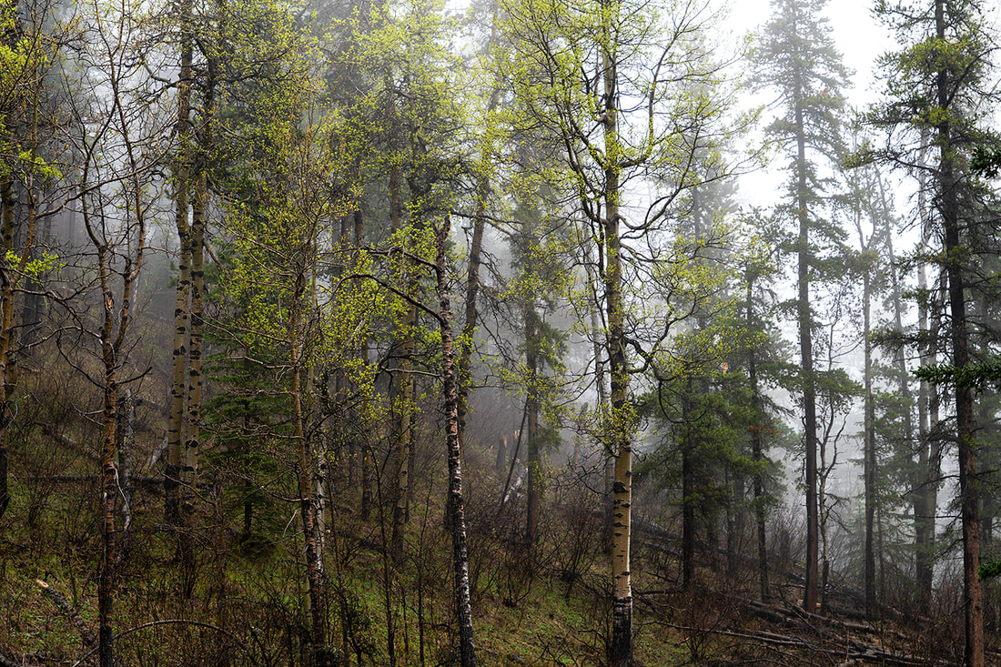 May long weekend is a big deal in Alberta, well normally. This year the campsites were closed due to Covid 19 so things were a little more subdued. It didn't stop thousands of day trippers heading out, but few of them, none that we saw, chose to walk the snow covered 'Big Elbow Trail'. Heavily shaded by forest the trail tends to hold snow for longer than other areas in the elbow valley, that's why we chose it. The secret is that the snow only holds on the early sections, then it opens up to dry clear trail. There were hundreds of vehicles in the car parks all along the elbow river and it was obviously going to be busy, so we chose this trail today to avoid the crowds. We had a wonderful 12 km round trip, spotted the wild horses and talked endlessly about life in general. Sarah ensured we had a little picnic to keep us going, I ensured it was transported to our chosen lunch spot. We sat and munched at the halfway point on the outward leg, where coincidentally, we spotted the wild horses. It was a really lovely outing and great to be hiking together again. 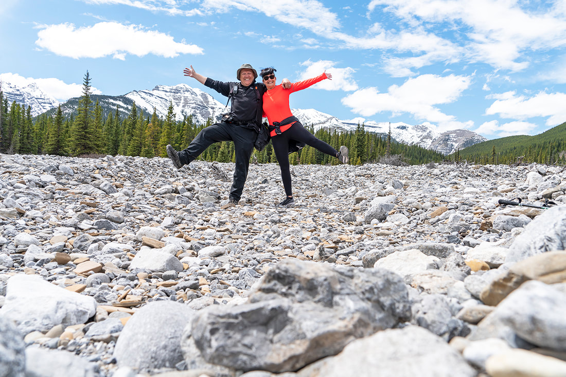 I got myself out in good time today and took the short journey to the Elbow Valley. I have not spent much time down there this year and thought I should make my usual visit to Forgetmenot Ridge before the winter gates are closed again. The autumn colours were just getting going in exposed areas and it was a beautiful sight, even with my little hiking camera I was able to find some nice images of the bright reds and yellows dotted along the elbow river. I really enjoyed the hike as always, it was hot as I made my way through the forest and along the initial ascent, but it was surprisingly cold at the summit. At 2324 m (7624 feet) it was not unexpected and it was nice that the cold layer kicked in about 6000 feet making the final ascent more comfortable. With good weather predicted for the week ahead there may be more autumnal hikes on the horizon. The main shot shows the view from the summit (click for larger) Nihahi Ridge on the left, the Powderface trail in the valley below, Powderface Ridge behind and to the right of the cairn, highway 66 leading out toward Moose Mountain on the horizon and the elbow river exiting the frame at the lower right. Hikers can find a full details including directions, maps and route description on a previous hike to Forgetmenot by clicking here or by finding it on our hiking Canada page. The gallery below has captions to identify mountains and surrounds from todays hike. 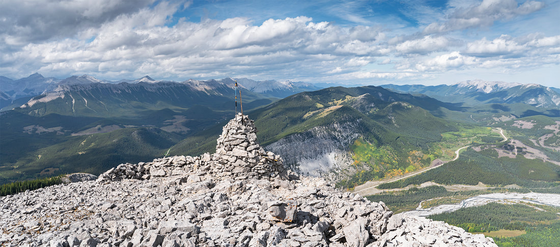 Hot sun yesterday meant I didn't fancy a long slog up a mountainside so I decided to make the short 9 km hike to Kananaskis Fire Lookout. It's one I've thought about numerous times but never really got around to it. As you can see from the image below perhaps I should have, it's an easy hike to stunning views from a spectacular location. I've made a full write up in the usual style for those seeking a detailed description of the route. There will also be a permanent link to this hike from the hiking Canada page. For others less interested in hiking, there's a small gallery below showing a selection of images taken at or around the lookout position. 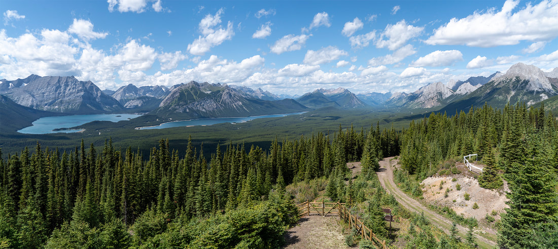 We've had a lovely relaxing weekend with our friends Stuart and Fi from the UK dropping in for a couple of nights at the start of their Canadian holiday. After waving them off this morning I decided to head to the mountains and make the most of the sunny skies. I opted for the short drive to the Elbow Valley and a spring favourite of mine, Jumpingpound Mountain. At this time of year this easy hike is always full of wildflowers and is a perfect hike for hot, wind free days. To make things more interesting I decided on a non-stop ascent today, don't get me wrong I wasn't sprinting up, but I maintained a reasonable pace and covered the ground from the truck to the summit in just under an hour. At 7.2 km (4.4 miles) round trip it's not a long hike but there's 417 m (1368 feet) of continuous ascent so it's still a nice leg stretcher. As I got to the top of the ridge I could see the wildflowers in red, yellow and blue spread all across the open meadows, it was a beautiful sight and well worth what little effort is required to get there. Those seeking driving directions and map to the trailhead can click here for a full write up of a spring hike up here with Sarah in 2016. The gallery below is just a few shots from today, there's no captions just a small collection for the memories. 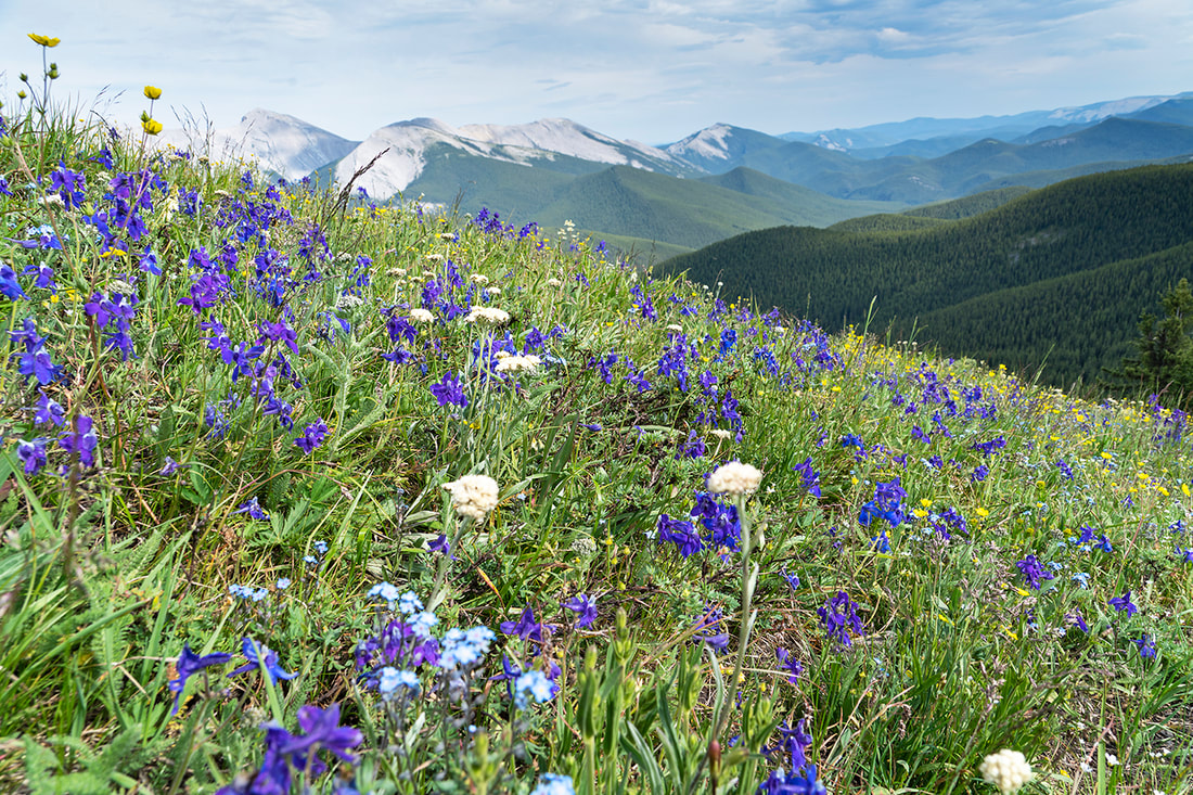 Threats of cool showers for the afternoon today sounded like good hiking weather, I didn't like the sound of the lightning so I was looking to stay at a low level. The most obvious choice for me is a circuit of upper kananaskis lake. It's such a beautiful place to be any time of the year it's a lazy decision, but certainly not a lazy hike. There's little ascent it's true, but at a shade over 17 km (10.5 miles) you know you have done it by the end of the trail. I made it just beyond the half way point today before the rain started, but by then I was into the forest on the south side of the lake and somewhat sheltered. Don't get me wrong, I got a good soaking over the final 8 km but it was a gentle soaking and I didn't have to bother with the shower gear, I made the full circuit in my T-shirt. As always it was a great day with Rocky Mountain Sheep with their lambs all over highway 40 and marmots, ground squirrels and mice darting throughout the forest. I've made this hike many times now so there's just a few shots below with captions from today. Anyone wanting to see a full detailed report with trailhead parking information and maps can see an earlier trip by clicking here. 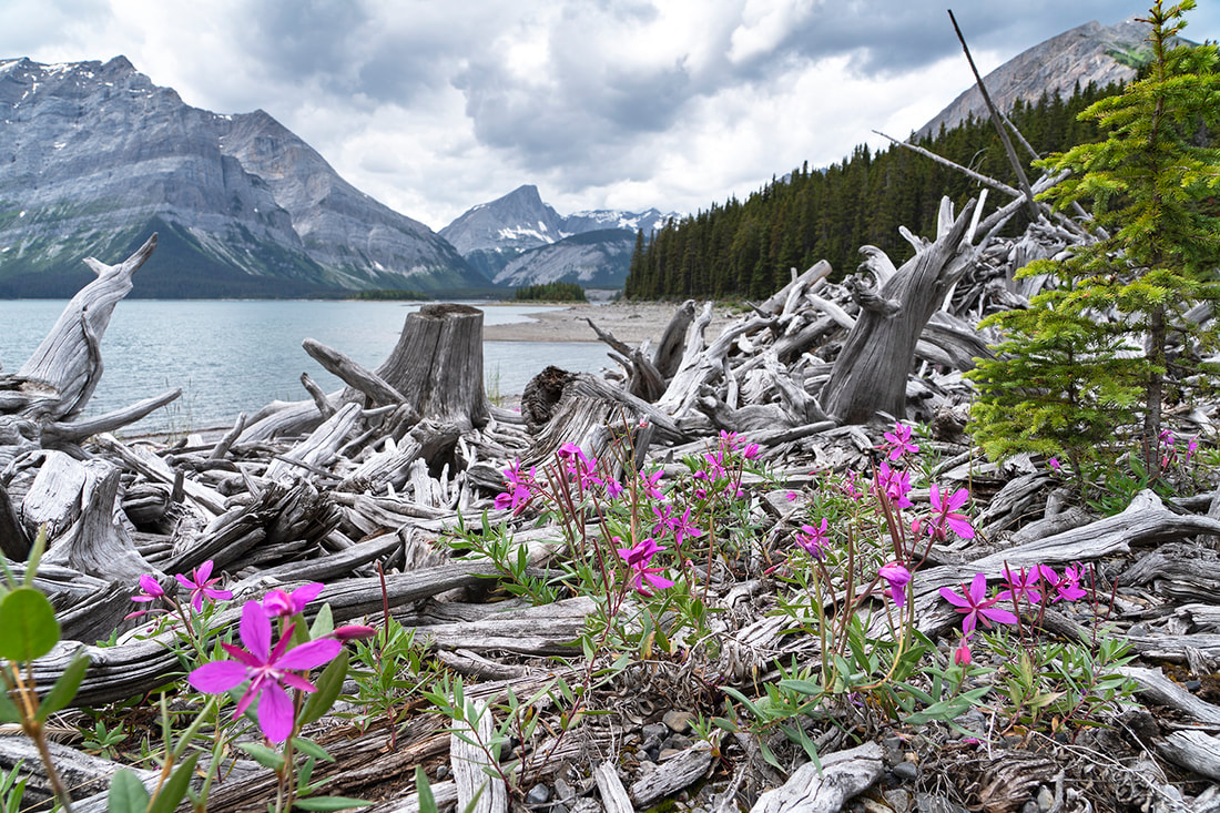 I had a slow year for summits last year and didn't intend to do many this year, deciding instead to go for longer/lower routes with less of the hard ascent work. With that in mind I set out today to make the 17 km (10 mile) circuit of upper kananaskis lake. As I drove along highway 40 I noticed that there were no vehicles at all in the parking area for the G8 summit. It's a straightforward mountain only about 7 km (4.3 miles) round trip, with some grunt work to ascend almost 1000 m ( 3200 feet) and a good workout on a hot calm day like today. I couldn't resist having the mountain to myself so made a swift U-turn and parked off road beside the trailhead. I confess I really felt it today, the heat was oppressive and there wasn't a breath of wind even at the summit. On the descent I sat on a flat rock in a mountain stream, removed my boots and planted my feet in the freezing cold water. I then filled my hat and put it on again and sunk my hands and wrists into the icy stream. I placed my two remaining drink bottles in the flow to cool and sat for some time basking in the effect. After only 5 or 10 minutes I was back on the trail drinking freezing cold water and striding out feeling fully refreshed. It's incredible how much the heat impacts our abilities. I've made this ascent numerous times so didn't bother with a full write up for today, but if you are interested you'll find a full description with information on parking and a more detailed description of the ascent by clicking here or checking out the Canada hiking section of the site. I really enjoyed the day and perhaps I'l make a few more this year after all. 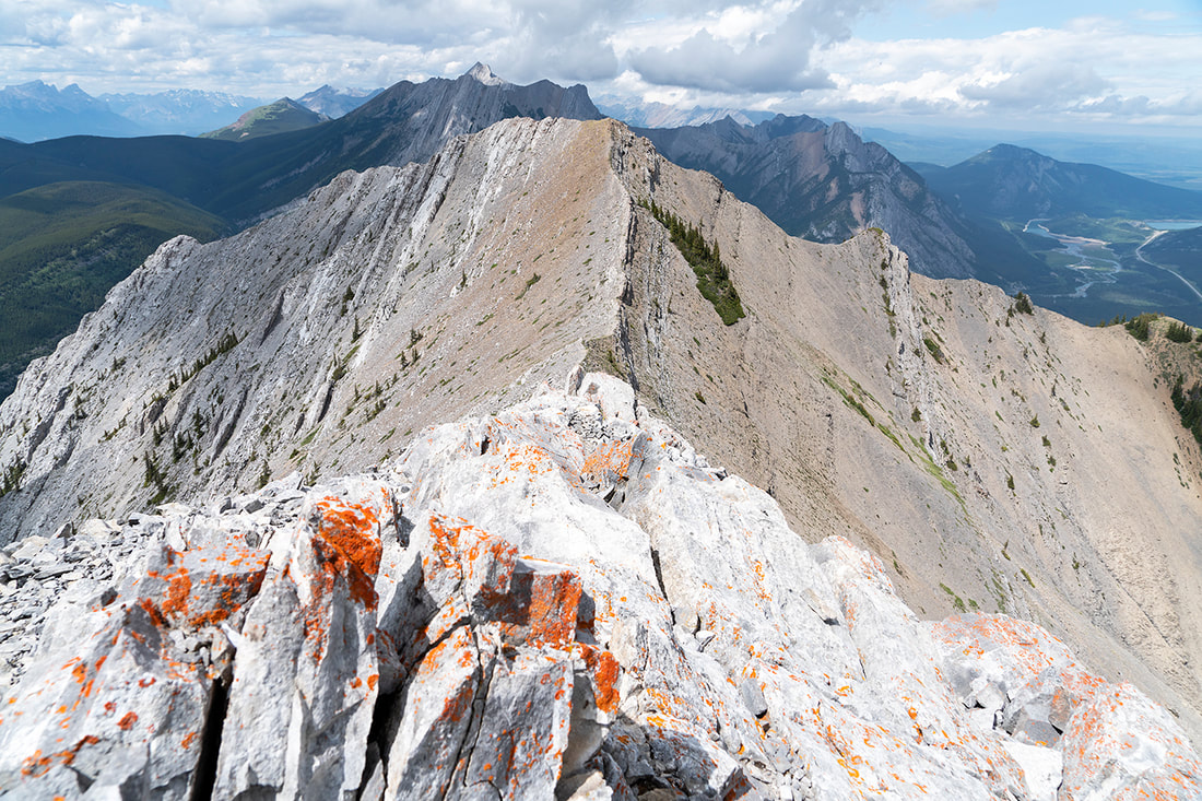 |
AuthorWe arrived in Calgary, Canada on 29th December 2011 to continue our journey. This blog is intended to keep our family and friends informed whilst we explore Canada.You can use the RSS feed below to stay updated. 
Stout Grove - California
Categories
All
Archives
January 2024
The Shaman, West Texas
|

 RSS Feed