Hill of Fare
Date Walked: 8th September 2011
Distance: 9 miles (14.5km)
Actual Ascent: 1827 ft (557m)
Time Taken: 4 hours
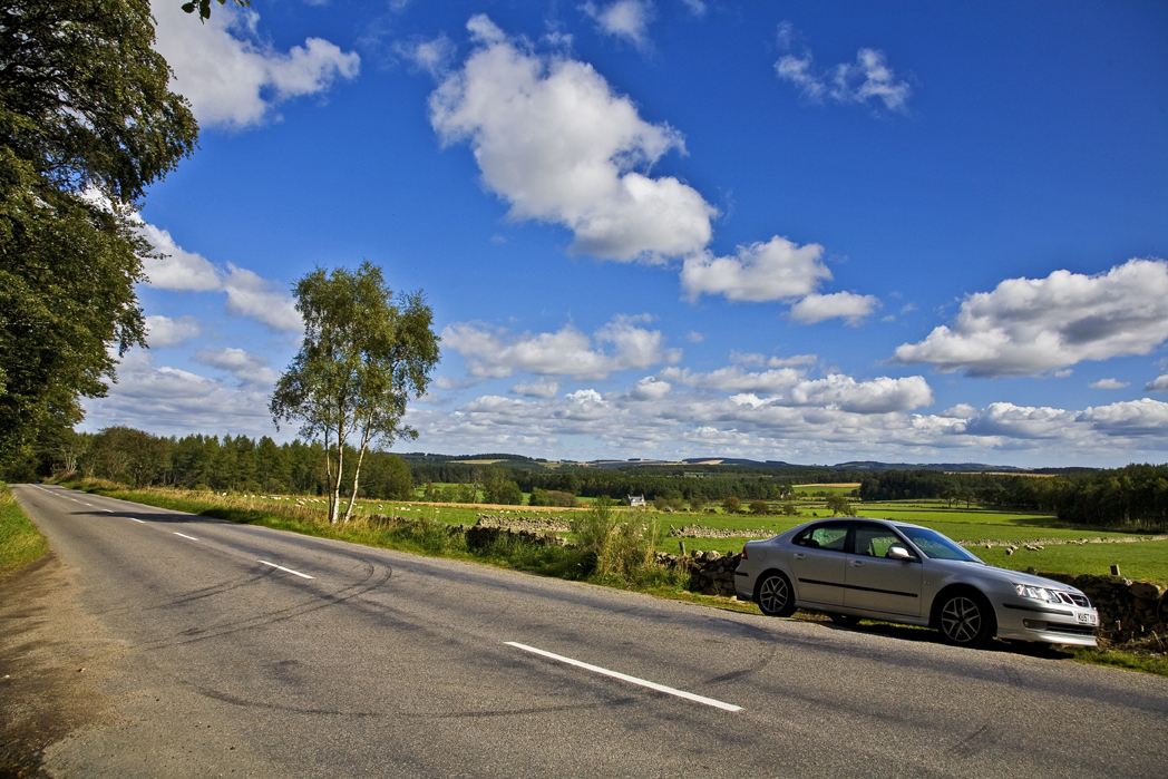
I've looked at this hill a number of times now (literally, as I live close by) so I thought it time to have a go, I had a look through OS406 and plotted a reasonable route. I parked beside the B977 at NJ743035 directly opposite a gateway.
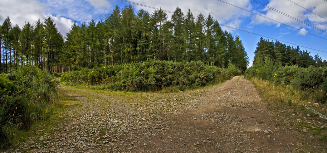
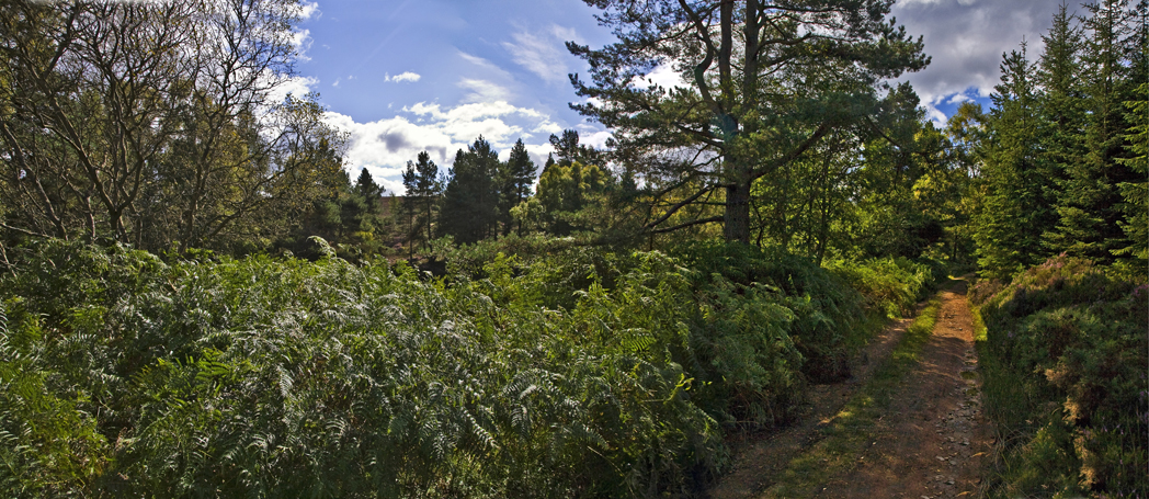
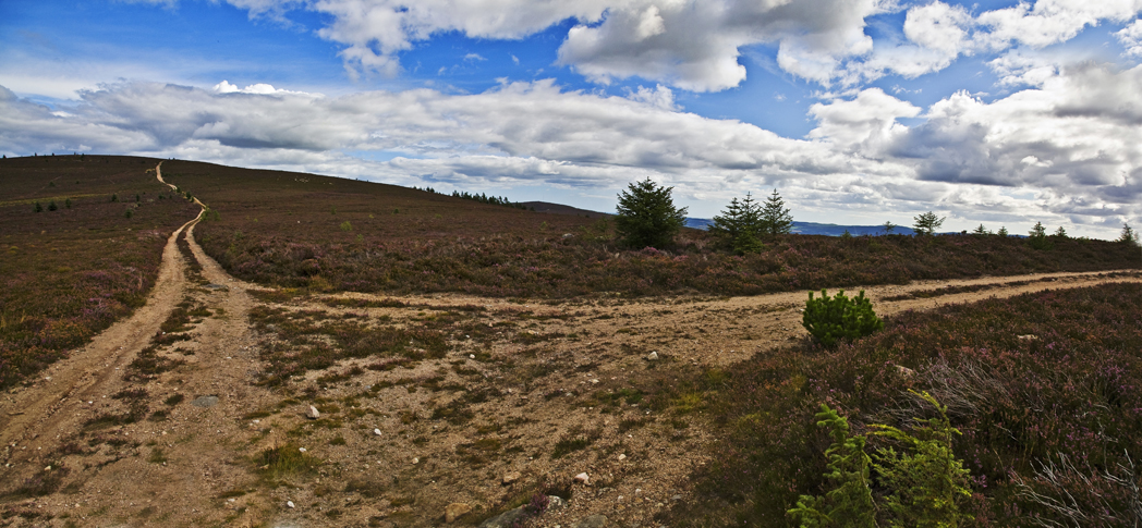
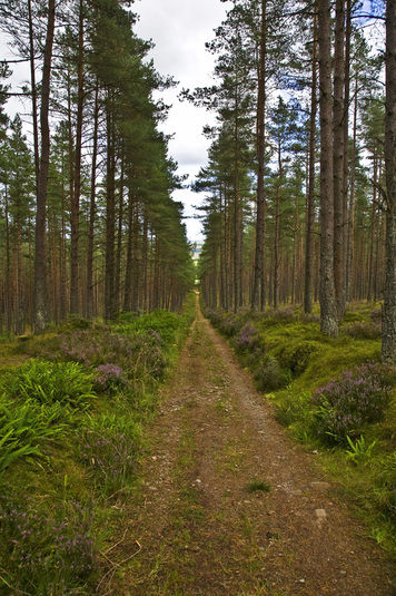
The path begins as a good quality logging track heading straight into the forest, very soon I reach a crossroads and, after eyeing the straight route (as that should be my descent if all goes to plan) turn right and head north

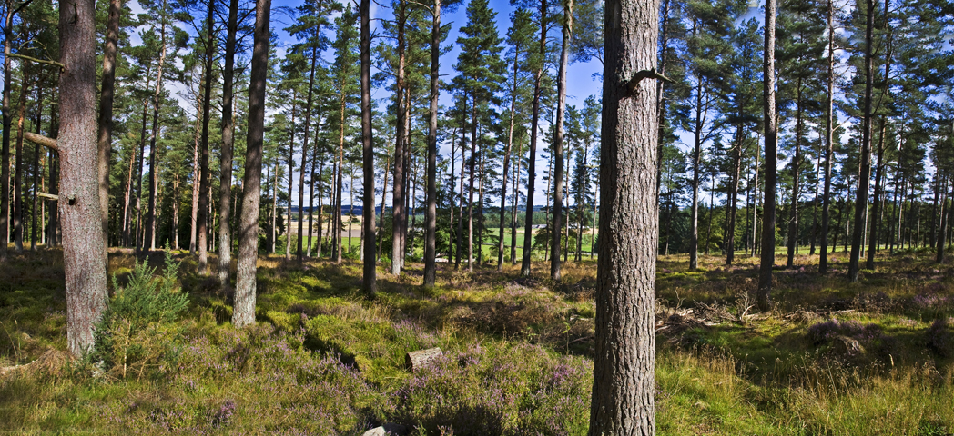
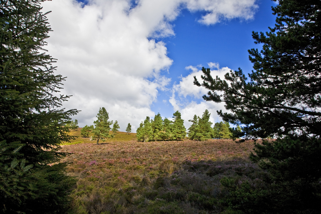
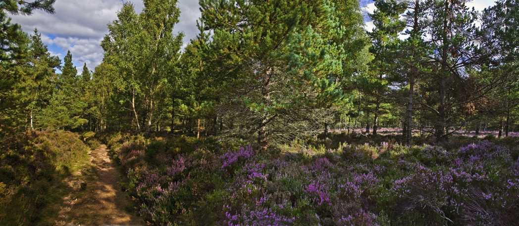
As I follow the route it curves west, the forest is 'thin' and allows views out toward Echt, it also allows a little heather growth bringing some colour to the forest floor
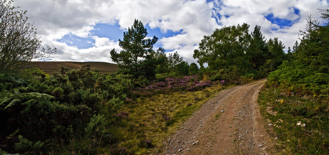
after about 1km with almost no ascent at all I reach the junction with power lines overhead and take the left (south west) track
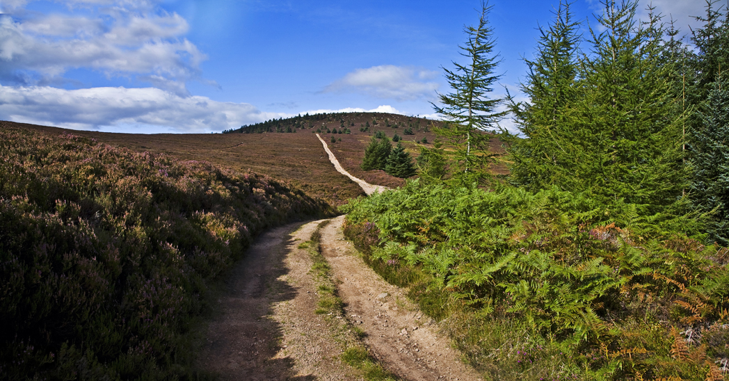
The path immediately begins to climb and stays that way for some time, looking back I have quickly gained height and can look out across the tree tops
the track narrows a little and twists and turns as the forest begins to give way to bracken and heather
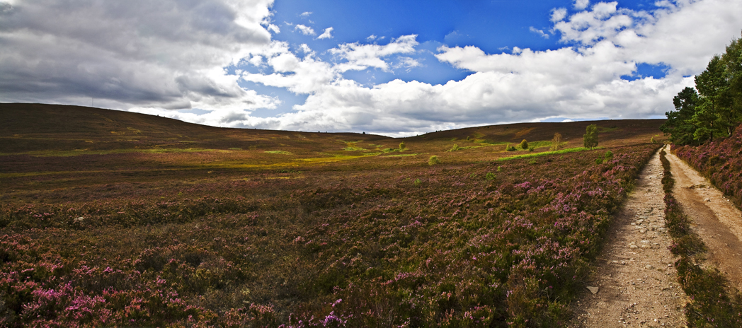
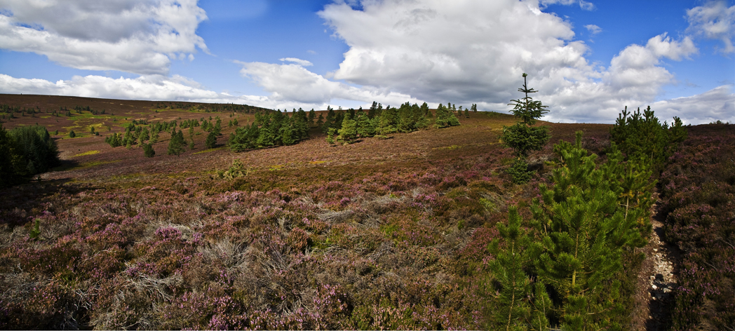
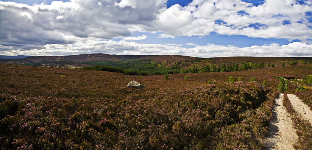
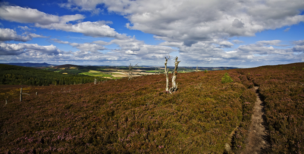
the ascent is maintained as the area opens up and the heather again brings a dash of colour to the scene
then I exit the forest and head directly west again along the logging track
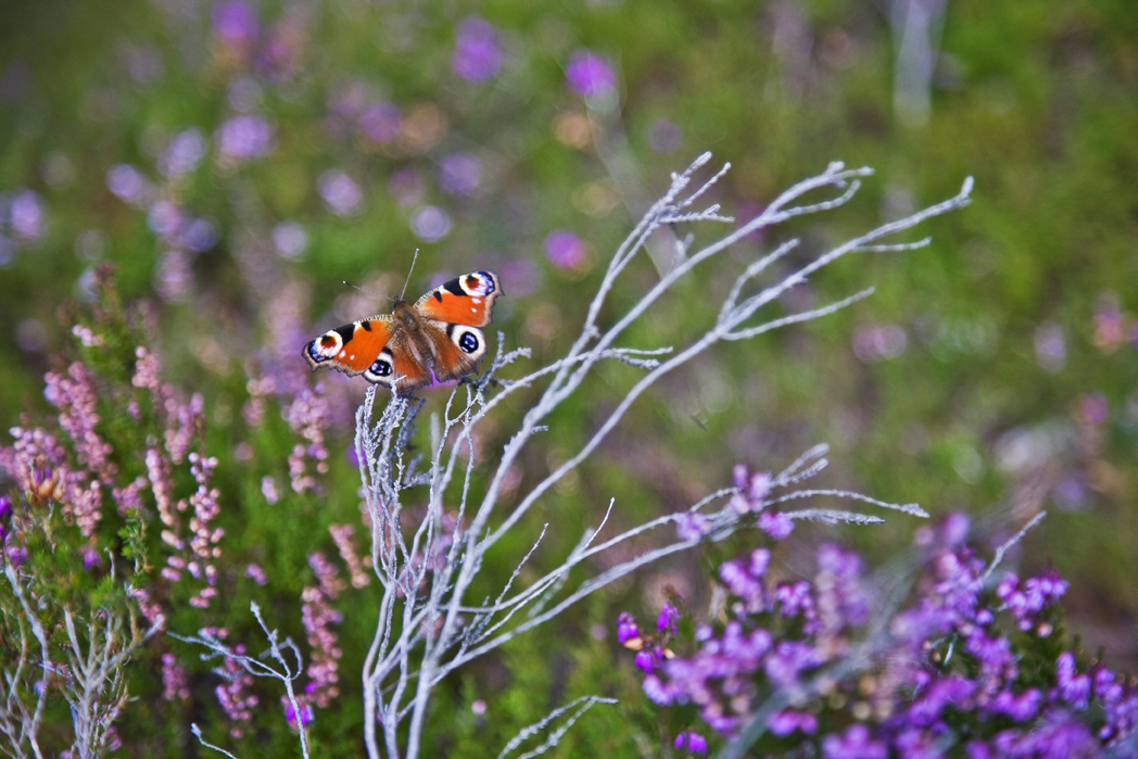
there are so many butterflies up here its unbelievable, all the same but hundreds of em....beautiful sight
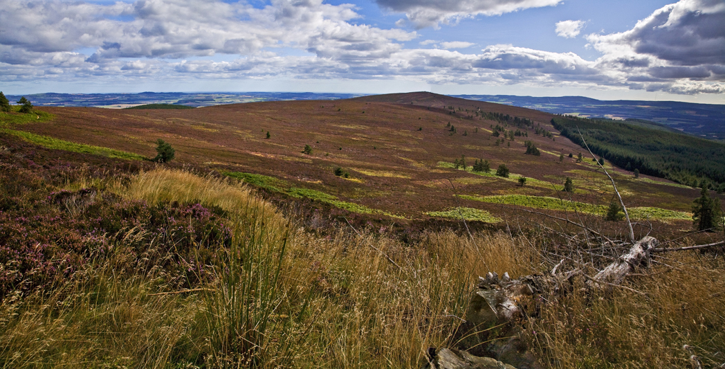
as the track turns a corner I see Greymore rising ahead
looking north I see Bennachie away on the distant horizon
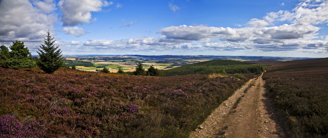
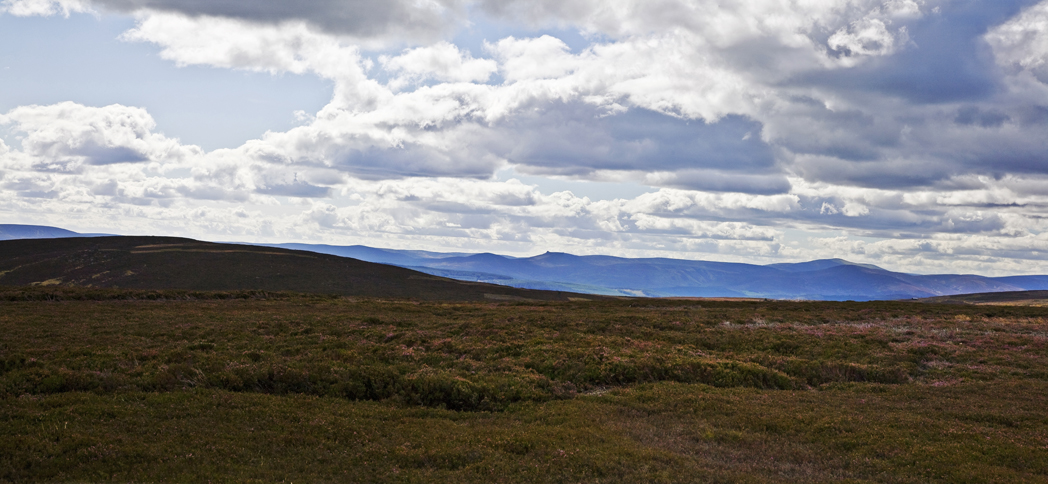
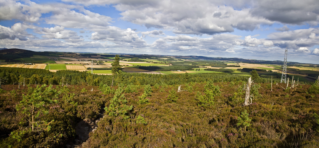
to the east I can see the flat coastal plains and far off in the distance, the North Sea
up ahead I can now see the Hill of Fare, just visible in the distance
the tiny speck off a hill to the south is Meikle Tap which will be the last high point of the day
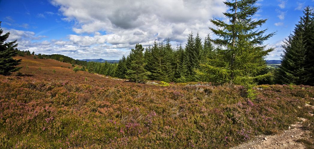
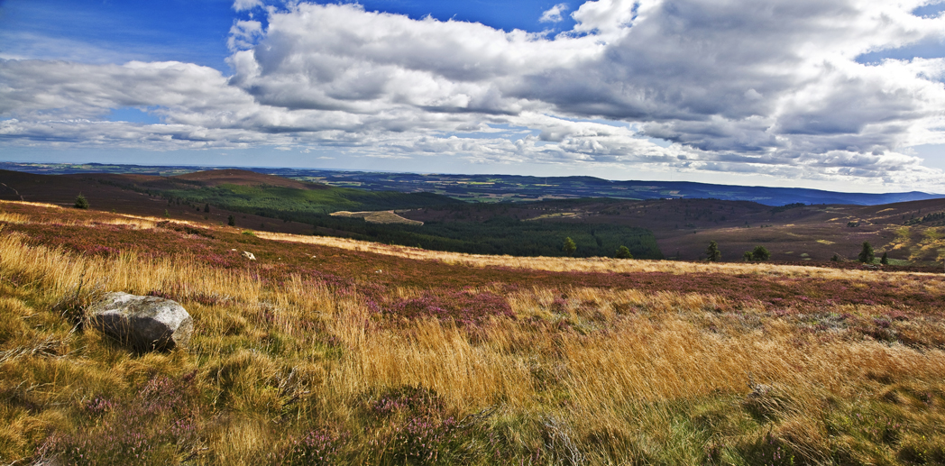
after 2km I'm closing in on the Hill of Fare and really enjoying the walk and the beautiful autumnal colours
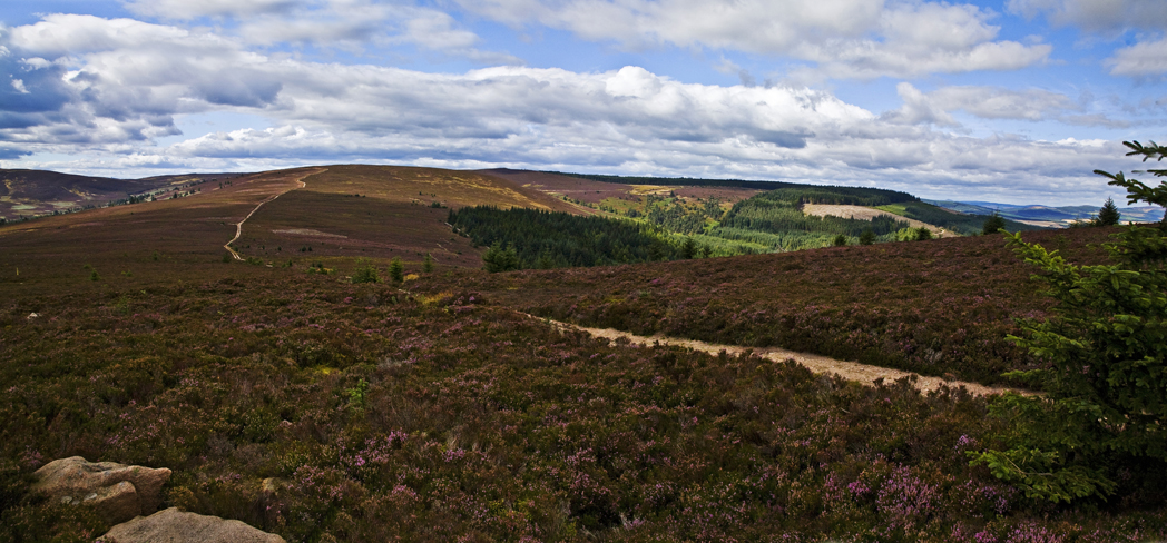
more tracks visible to the north leave me checking the map for potential routes out instead of my chosen one, but I decide against a change of plan
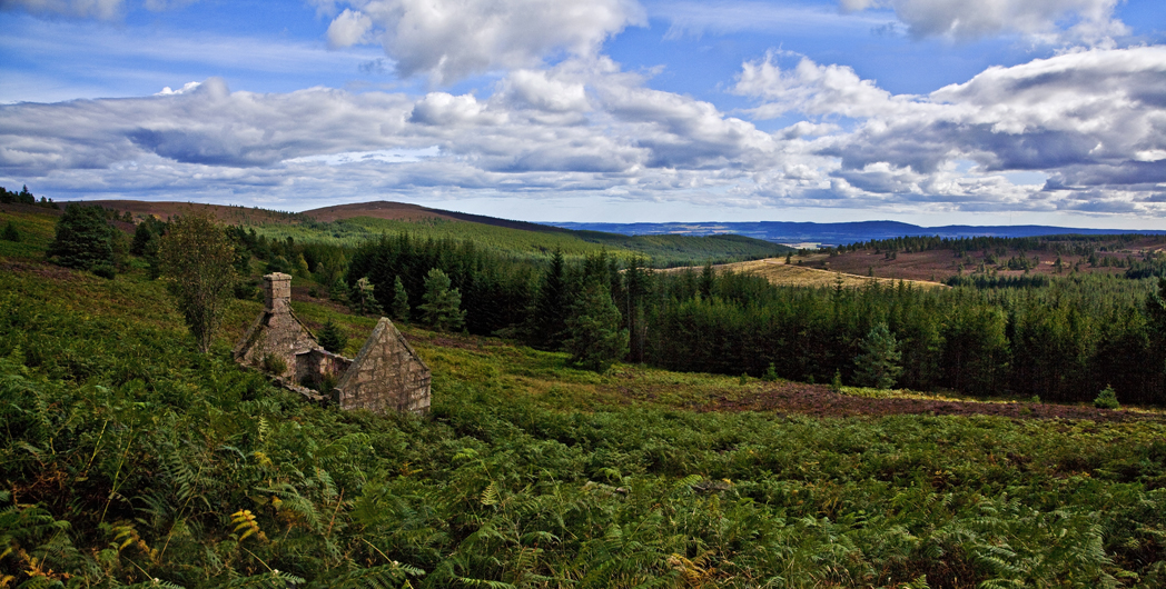
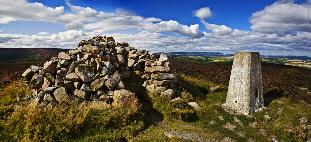
I veer off the track at an opportune point and head to the top of the Hill of Fare through very short fresh heather (must have been burnt off last year I guess) at the top its easy to see where old and new meet.
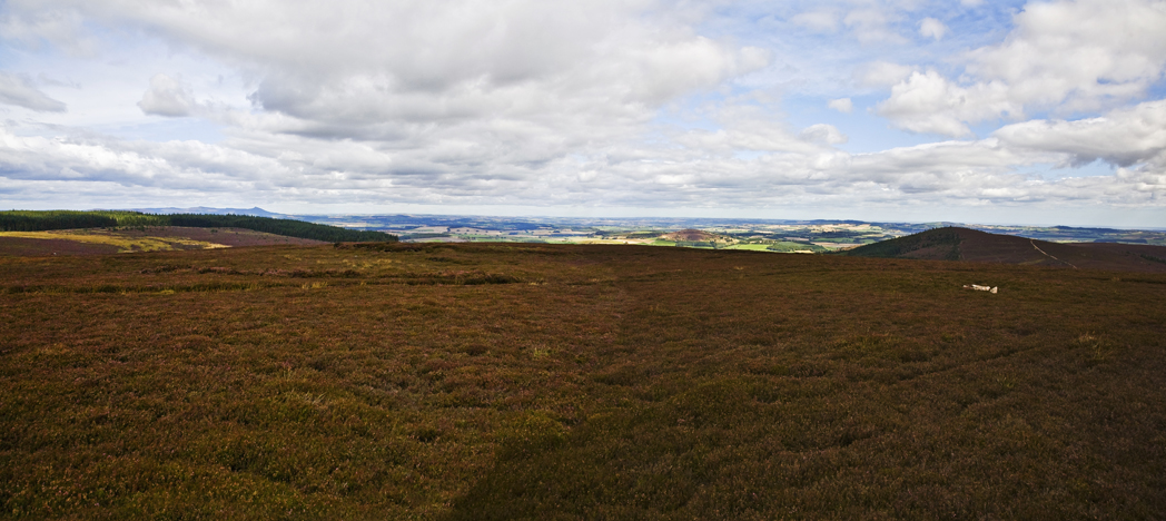
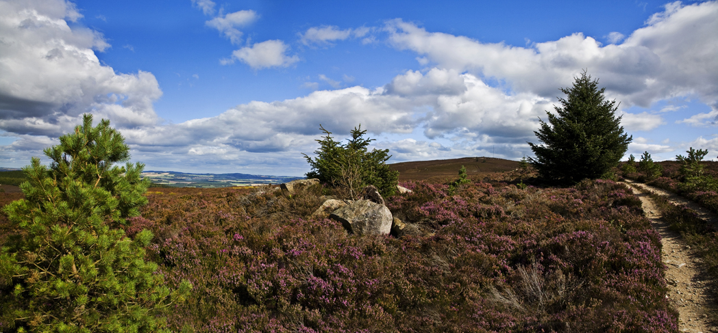
walking along the flat (pretty dull) summit I see Mount Battock and Clachnaben in the distance
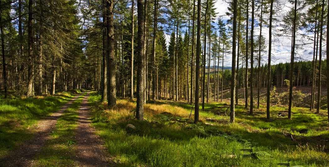
I drop back down to the logging track and turn east to continue my planned route
I retrace my steps for about 2km then turn south at the junction
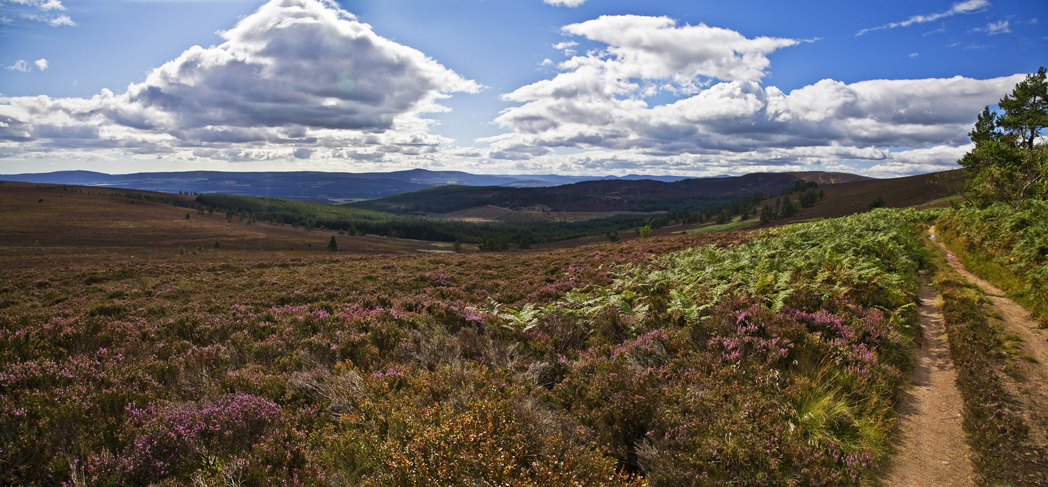
the path here is less well made and heavily eroded but the views are great
walking down the steep hill its clear I will be right down into the forest before I can turn back up toward my final target for the day, but at least it adds a little work to the route
in the forest at the bottom of the hill I turn east at the junction
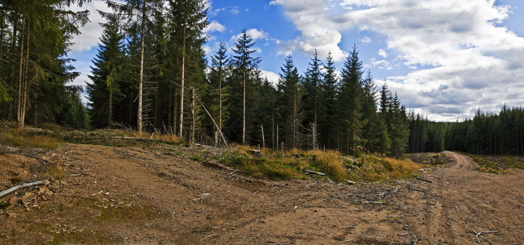
it is immediately apparent that this track has not been used for some time
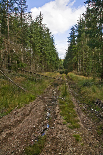
often I need to leave the track altogether to get around the fallen trees, its pretty boggy and I'm glad I opted for boots today
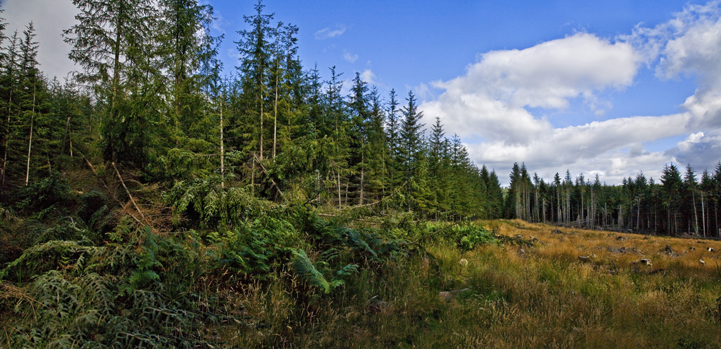
after 1km this I turn north on a hardly marked trail (more of a fire break really) and eventually see daylight again
a short heather hop along the tree line and I find a well hidden pathway
the well hidden path leads back to the main logging track and its east again toward Meikle Tap
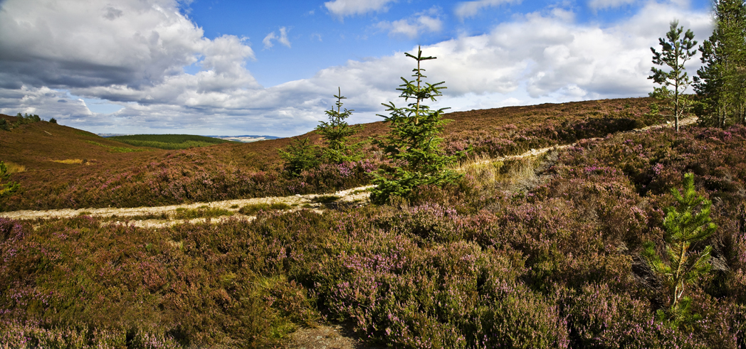
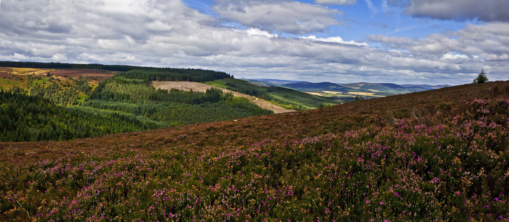
it's such a beautiful day, a cool breeze is blowing and the sun is shining making the most picaresque of scenes
looking back I see the Hill of Fare behind the forest I just trudged through, it seems a long way off
it's a short wander to the summit easily done on a good track
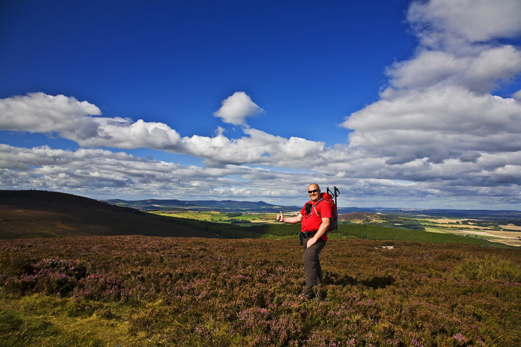
you can tell its not a difficult route as I still look fit and healthy
the small trail shown on the map which I thought may not be there, actually exists and I head off down it; it is well worn by running water and full of 'ankles-nappers' so steady as we go
across a small plateau and through a dead forest area
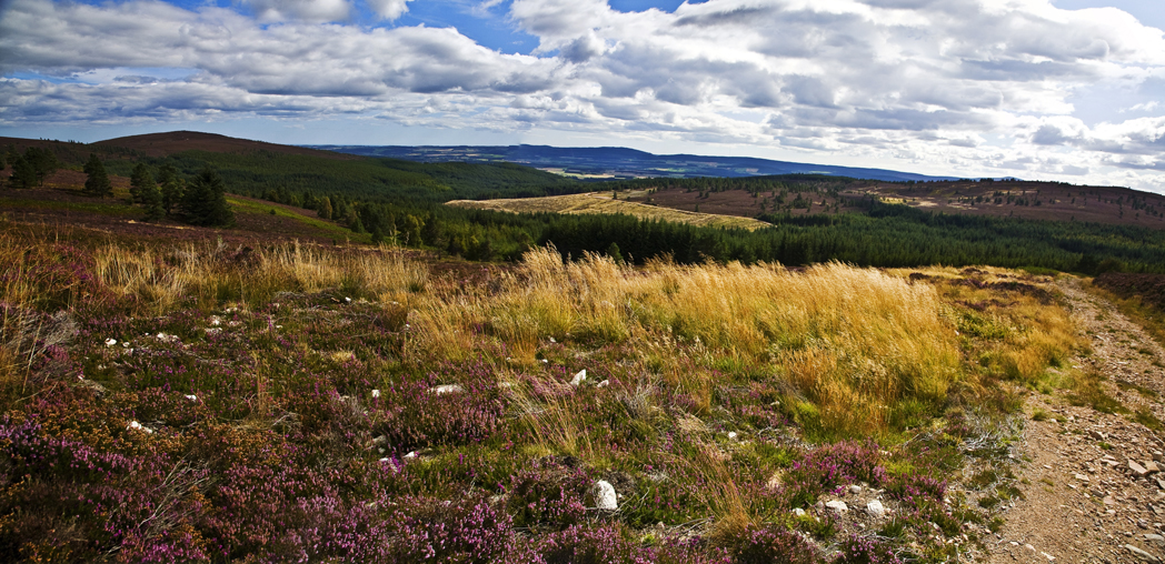
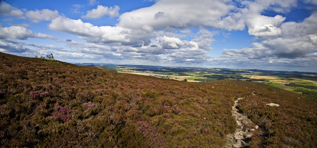
a last look across the coastal plains before dropping back down into the forest
in the edge of the forest the heather still blooms beneath the trees and provides that splash of colour that makes the last few km really enjoyable
then, there it is - the track that lead back to that first crossroads and the gate beyond where I can just see my car waiting.
as this place is so close to home I think I'll be returning here.....a few times