Jumpingpound Mountain - Spring
Date Walked: 11th June 2012
Distance: 5.1 miles (8.4km)
Actual Ascent: 1433 ft (437m)
Time Taken: 3 hours
After watching England play France in the European Championships I couldn't let the day get away entirely so set the DVR to record Sweden versus Ukraine and picked out a nice short hike to enjoy the hot sunny afternoon. Jumpingpound Mountain fitted the bill perfectly.
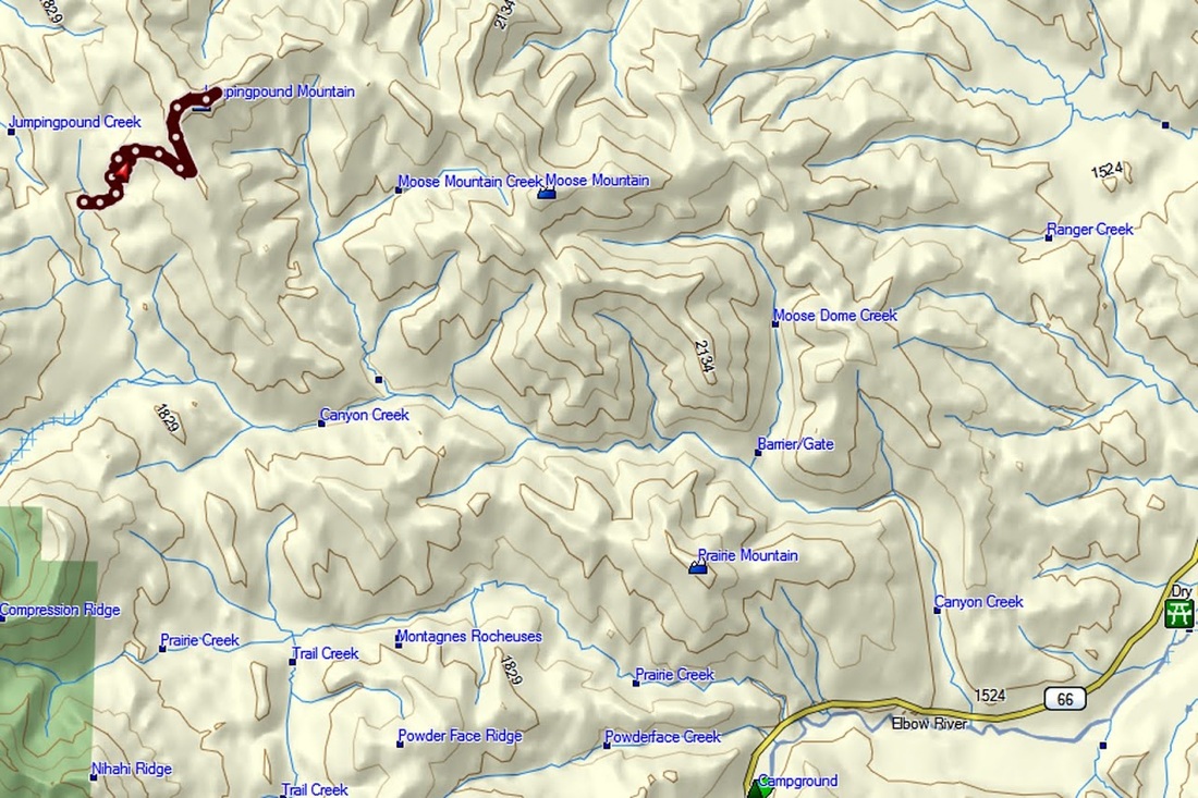
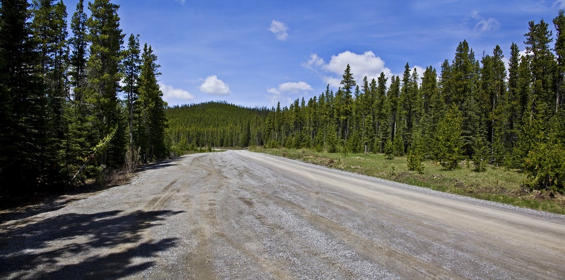
It is quite a long drive in terms of time because it requires a 20km drive along the predominantly single lane Powderface Trail, which is not a road to take lightly, the twisting gravel surface and steep drop off make it a dangerous road for the inattentive.
It is quite a long drive in terms of time because it requires a 20km drive along the predominantly single lane Powderface Trail, which is not a road to take lightly, the twisting gravel surface and steep drop off make it a dangerous road for the inattentive.
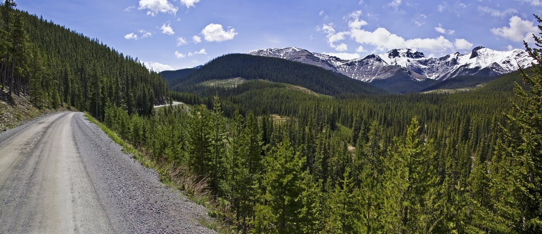
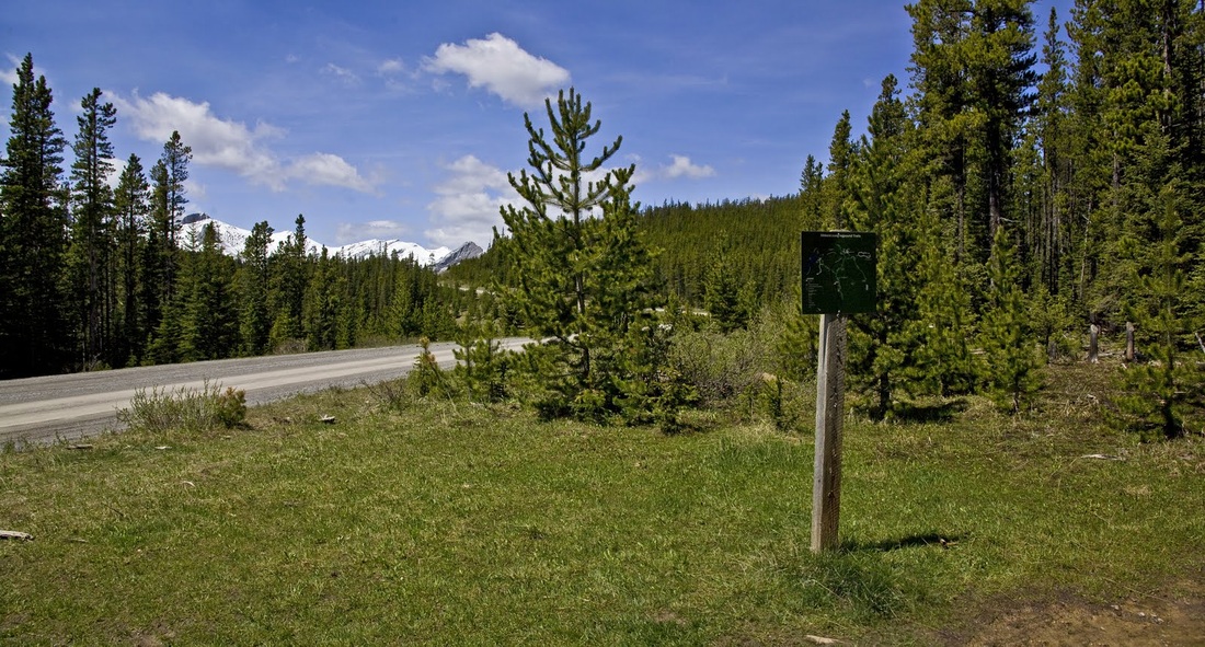
the trail-head is almost equidistant from Highway 68 (Sibbald Creek Trail) and Highway 66 (Elbow Falls Trail) the latter being the closest to Calgary. I decided to make a loop using both roads so drove West along Highway 1 (Trans-Canada Highway) to the furthest point first then took highway 68 to the Powderface Trail. Care is needed in finding the trail-head as it sits opposite a wide passing/parking place on the trail with only a very small trail-head sign opposite. Perhaps the easiest way to find it is to reset your trip counter at the start of the powderface trail and travel 18km which will put you right on it.
I was fortunate to see another hiker at the roadside and confirmed with him that this was the right place, turns out he was heading that way too and offered to wait but I told him to get going and I'd see him up there. I actually didn't want to feel rushed in getting ready, I like to mill around a bit and get my bearings as well as taking time to pack my rucksack.
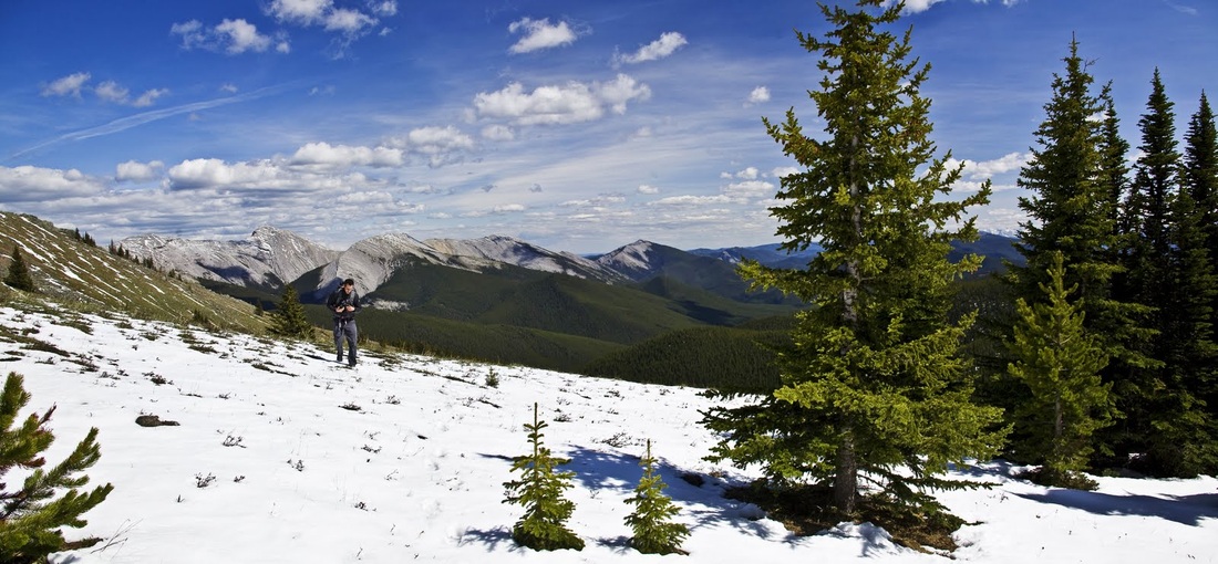
Eventually I set off behind Mario and his bouncing boarder collie into the thick forest on the East side of the road.
Eventually I set off behind Mario and his bouncing boarder collie into the thick forest on the East side of the road.
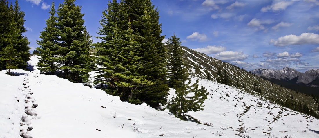
it is nice to be in the trees, shaded from the hot afternoon sun. The trail is very well maintained and weaves its way along a gentle ascent with switch backs where required to maintain a steady gradient, this would actually be an excellent MTB path.
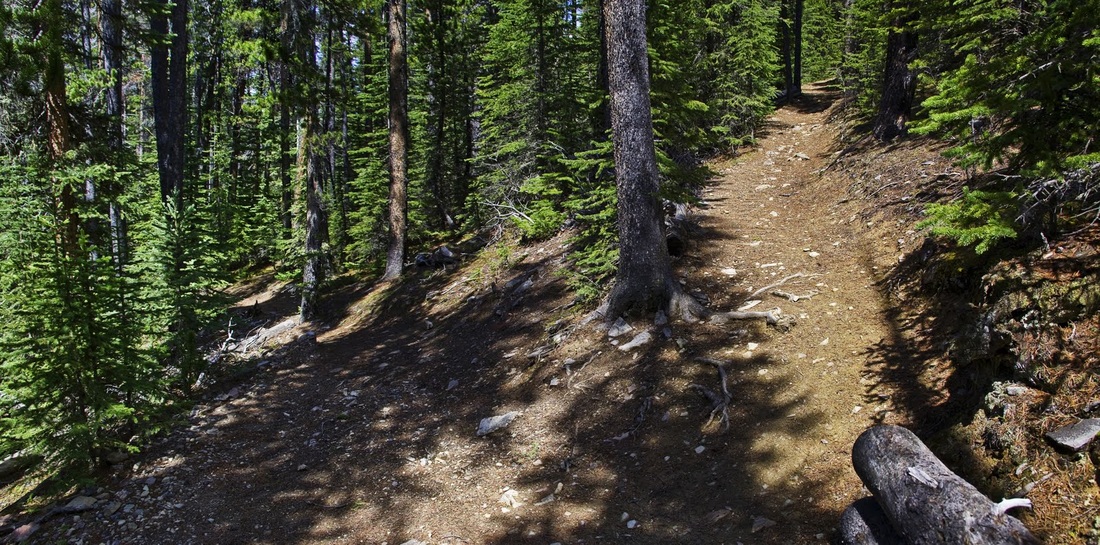
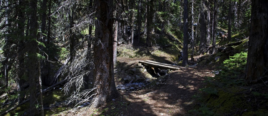
there are numerous creek crossings but each has its own bridge no matter how small the creek, the forest is dense and I'm struggling to see very far into the trees at all, I make use of 'YO BEAR' quite often to make sure there are no surprises along the way.
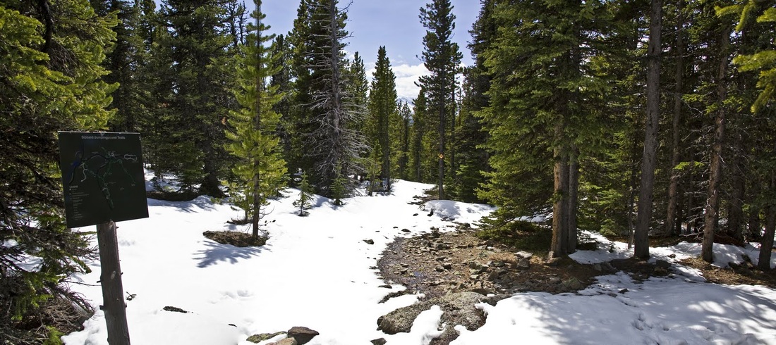
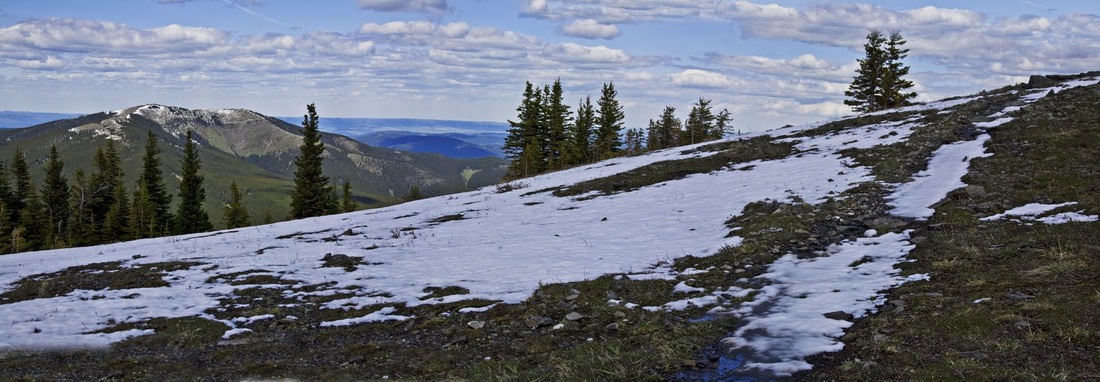
higher up there is a lot of snow remaining though it is very wet, on meeting the ridge top trail there is still some snow (I expected the ridge to be snow free) at the sign I take a left turn and head North along the ridge
occasional glimpses through the trees on the ridge show the stark tops of Moose Mountain in the distance, now almost snow free this is another target of mine for later in the year.
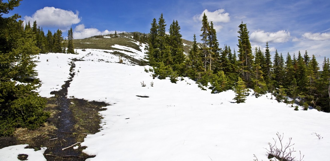
as the trail climbs gradually toward the North, the grassy bank that is the start of the Eastern ridge comes into view, this is where I will be turning to reach the summit
as I begin the ascent of the slope a look back toward the ridge gives a stunning view of the edge of the western ranges
the ascent is easy going and its grassy slopes remind me of some of the Cairngorm Mountains back home, as the cover of the trees disappears so does the snow leaving a gentle stroll toward the summit
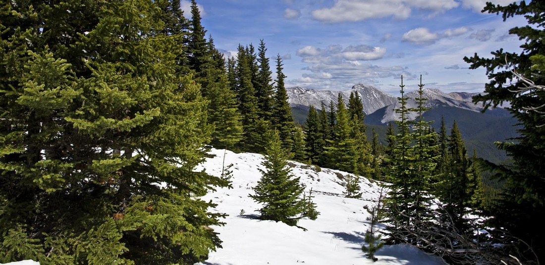
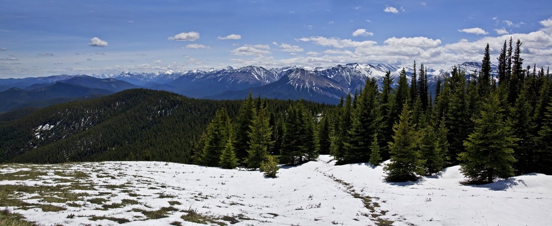
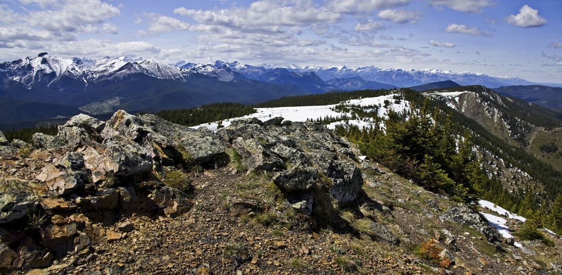
looking over the trees toward the North-West the mountains stretch away into the distance with less and less snow on the summits they are becoming more accessible every day
almost at the summit I look toward the North East and see Cox Hill which I hiked in May from the other side, it too has much less snow now.
before I know it I have reached the summit (joining Mario and his dog) The views are beautiful with fluffy clouds drifting across the blue sky over Moose Mountain
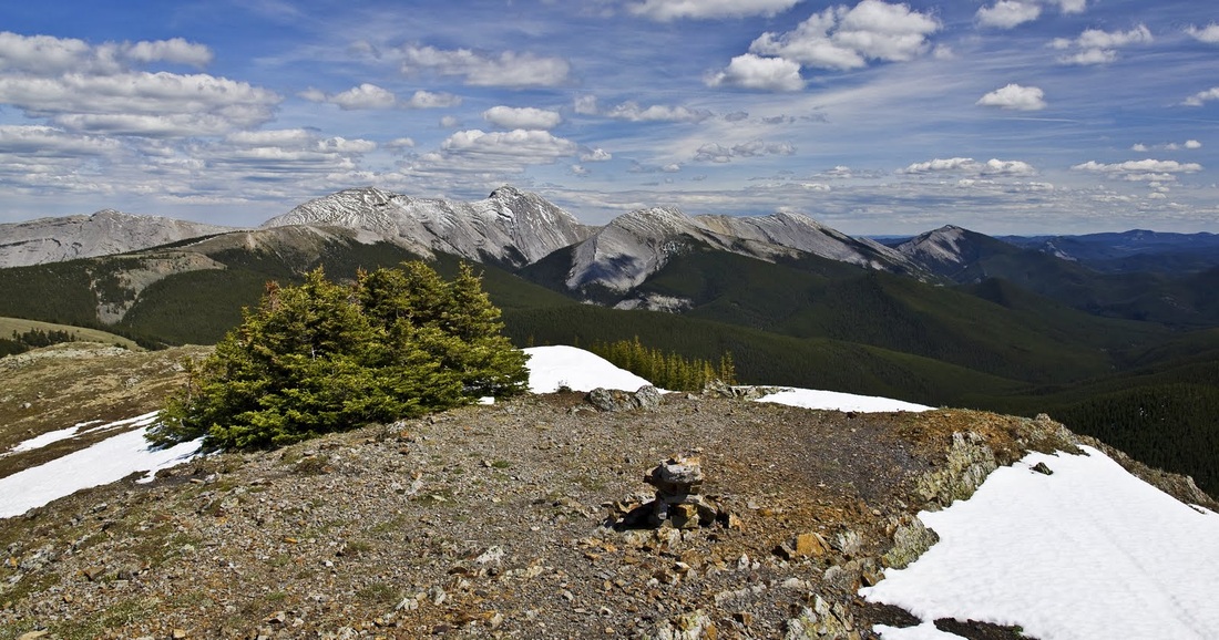
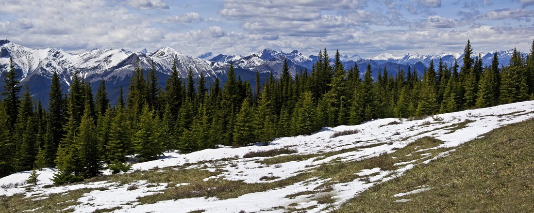
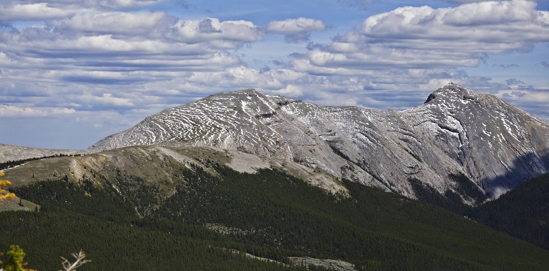
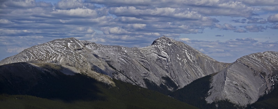
to the South West the mountains are doing their best to hang on to a covering of snow but the heat of the sun and the recent rainfall has seriously diminished the snow pack
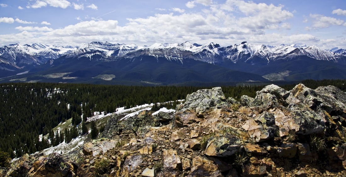
to the North -West the same applies and in the foreground the Northern section of Jumpingpound Ridge, end to end the ridge is about 13km long and really does look like MTB heaven
at the Eastern most end of this 'T' shaped ridge is the Northern summit of Moose Mountain which looks accessible from here though that is something that I may need to explore further, on the far right summit is another of those fire lookout stations that are dotted around the Canadian Rockies, no doubt I will get a close up shot of that in time.
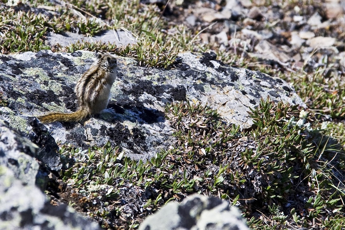
when I point out a chipmunk to Mario he informs me it is actually a 'Pika' very similar to a chipmunk but smaller with large back feet and a slightly narrower tail, I'll keep my eye out for the subtle differences from now on
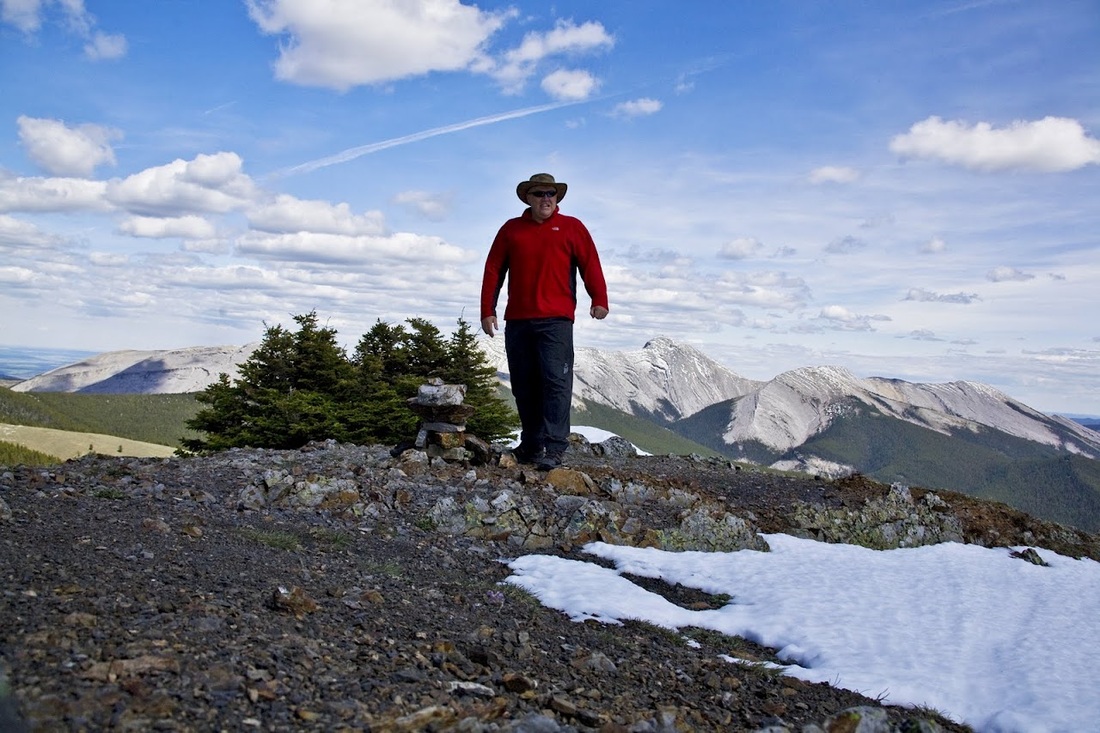
time for the summit shot in my fabulous sun hat even though at 7350 feet its pretty cool the sun is relentless and my shiny head has suffered enough sunburn of late.
I take a last look over at Moose Mountain before calling it a day and heading back down with Mario, who it turns out is a paramedic in Calgary and has been for 15 years, consequently he has seen some interesting stuff!!
a last shot with Mario adding scale before we descend back through the dense forest the way we came in.....'YO BEAR'
Another little cracker in the Kananaskis sunshine, I will definitely be bringing the MTB up here when it has dried out and riding the entire ridge including examining the access (or otherwise) from the East ridge to Moose Mountain. So many mountains so little time ;)