Kananaskis Fire Lookout
Date Walked: 19th August 2019
Distance: 5.5 miles (8.9 km)
Actual Ascent: 997 ft (304 m)
Time Taken: 2 hours
For a number of years I have thought about making this hike, but for one reason or another I never have. Today with the sun beating down I didn't fancy a long slog up a steep mountainside, so decided to make this short hike and finally put this one to rest.
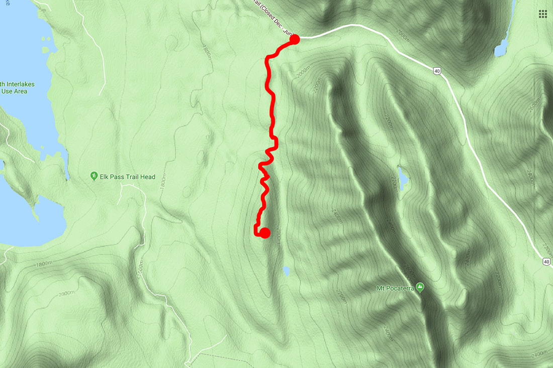
There are several ways to access the hike but I chose the straightforward access from highway 40. To find the parking area travel 8.8 km south from the junction of highway 40 and the Kananaskis lakes trail. On the right hand side beside the highway you will see an access point for a fire road, park here on the roadside pullout, well clear of the gates. It's worth noting that you can mountain bike the entire route (if you are energetic enough)
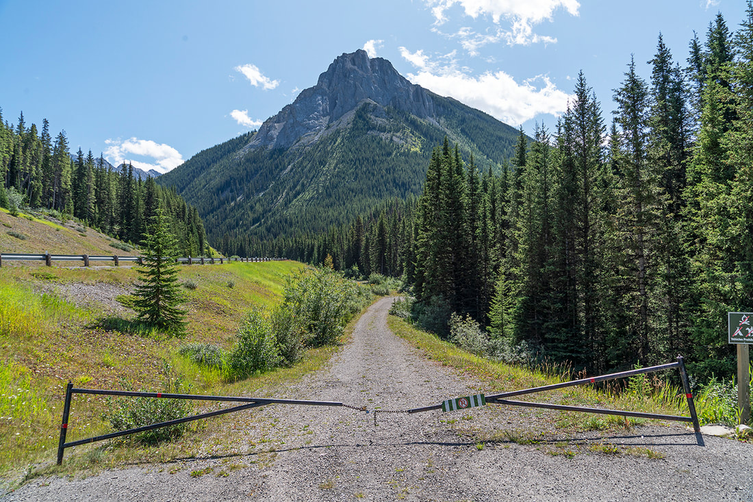
You begin the hike by following the fire road beyond the gate looking directly at Mt Roberta at the northern end of the Elk Range. Highway 40 is to your left beyond the arco barrier.
There are several ways to access the hike but I chose the straightforward access from highway 40. To find the parking area travel 8.8 km south from the junction of highway 40 and the Kananaskis lakes trail. On the right hand side beside the highway you will see an access point for a fire road, park here on the roadside pullout, well clear of the gates. It's worth noting that you can mountain bike the entire route (if you are energetic enough)
You begin the hike by following the fire road beyond the gate looking directly at Mt Roberta at the northern end of the Elk Range. Highway 40 is to your left beyond the arco barrier.
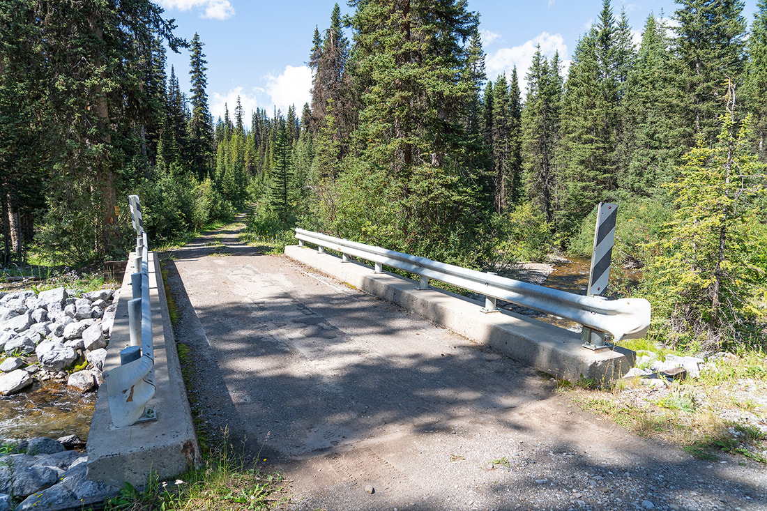
At the end of the first short stretch you turn away from the highway and into the forest. A well constructed bridge provides paddle free access across Pocaterra Creek
The fire road continues through tall pines climbing gradually on an easy going trail. The first junction you pass takes no thought as it cuts in from your right. This shot looks back along the route already traveled, the trail from Pocaterra entering from the left and above it stands Gap Mountain at the opposite side of highway 40.
If you want to make the hike 16 km longer you can start at the Pocaterra parking lot at the junction of the kananaskis lakes trail and highway 742, it will bring you out here.
If you want to make the hike 16 km longer you can start at the Pocaterra parking lot at the junction of the kananaskis lakes trail and highway 742, it will bring you out here.
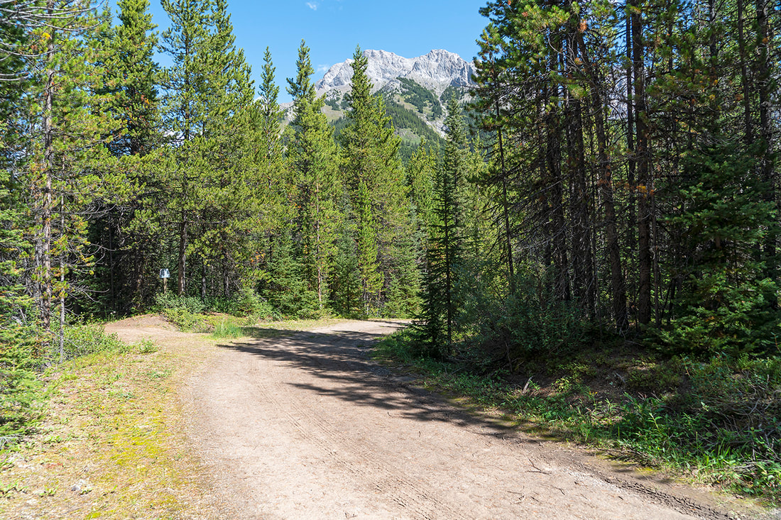
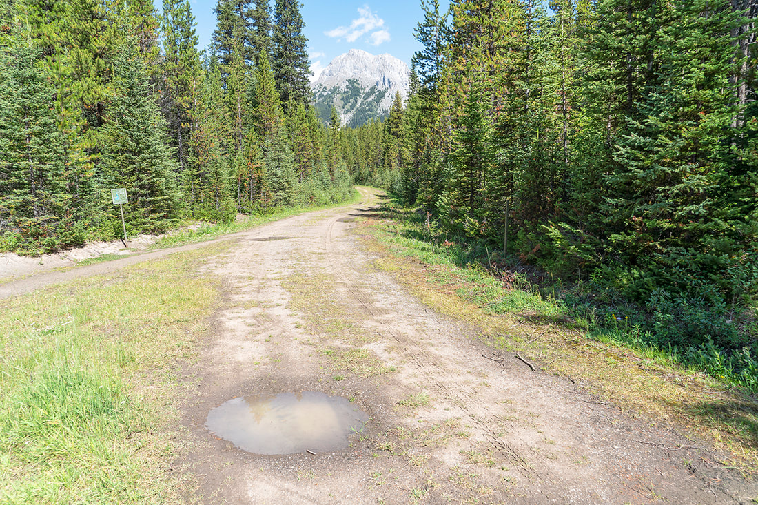
Just a couple of hundred meters later you reach a fork in the trail, keep left here. There is a small metal map to the side of the trial so you can't go wrong. Heading right leads to Boulton Creek Campground 2.5 km west. You can begin your hike from the Boulton Creek campground adding about 4 km to the round trip.
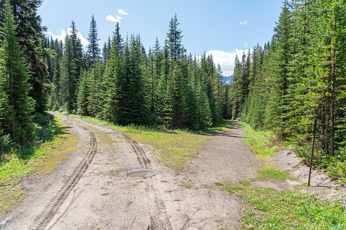
Looking back along the trail from the junction you can see the small map beside the Boulton Creek trail and Gap Mountain still towering high above the forest.
The final fork in the trail is well signed and easy to navigate, to the left Tyrwhitt trail continues for a further 5km to the Alberta/British Columbia boundary at Elk Pass. To the right we turn toward the steep switchbacks that meander a further 2.2 km to the fire lookout.

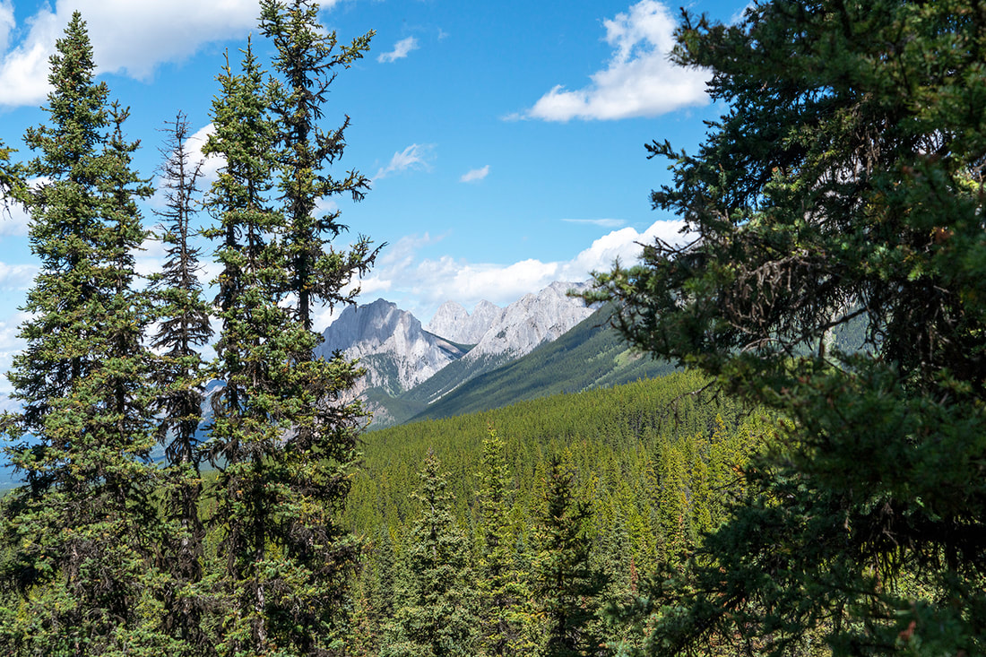
The ascent brings teasing views through windows in the forest, just enough to keep you going and chasing that open space beyond the trees. Here we can see Gap Mountain on the left, Elpoca in the distant centre and Mt Roberta on the right.
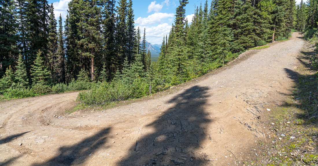
The ascent continues unabated through long switchbacks that seem intent on keeping me in the hot sun. On a day like today this is enough work, later in the year with cooler temperatures it would be a nice steady plod. From this particular turn Mt Lawson on the north side of the Kananaskis Lakes Trail is visible when looking back along the route already traveled.
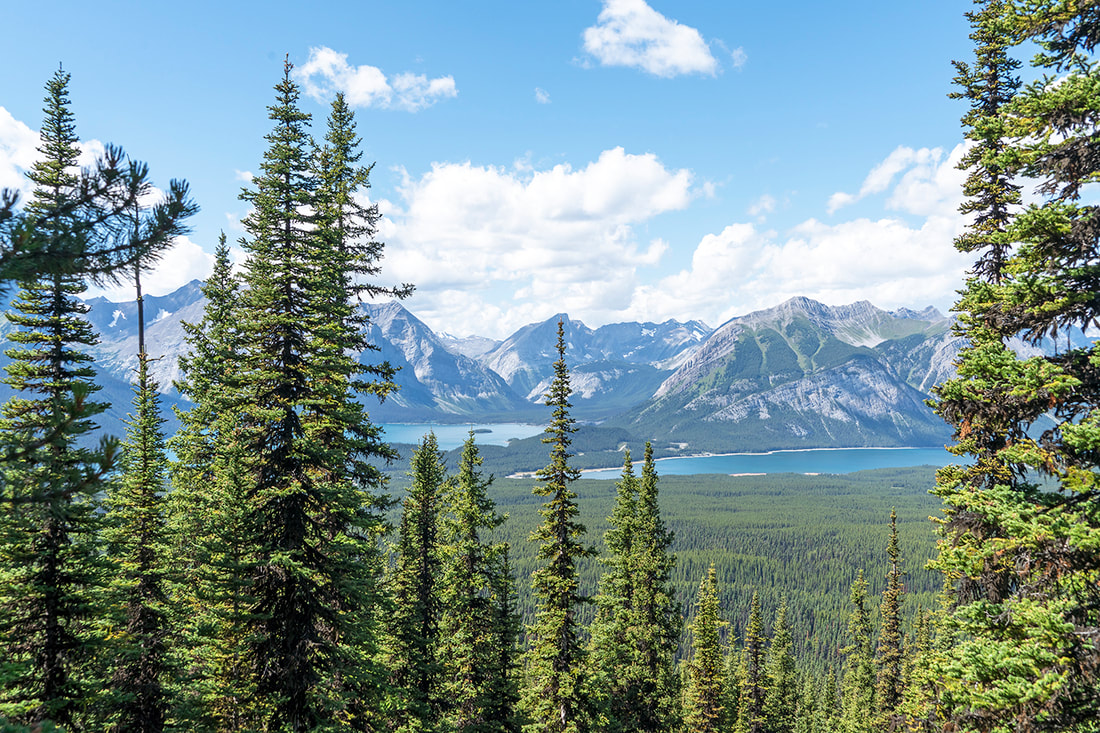
A little further and closer to the lookout the sudden elevation gain begins to show it's benefit as both the upper and lower lakes come into view across a vast expanse of pine forest.
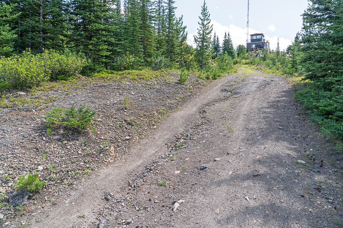
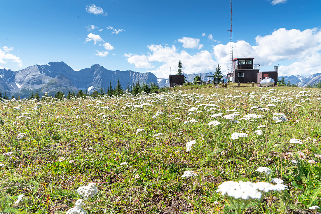
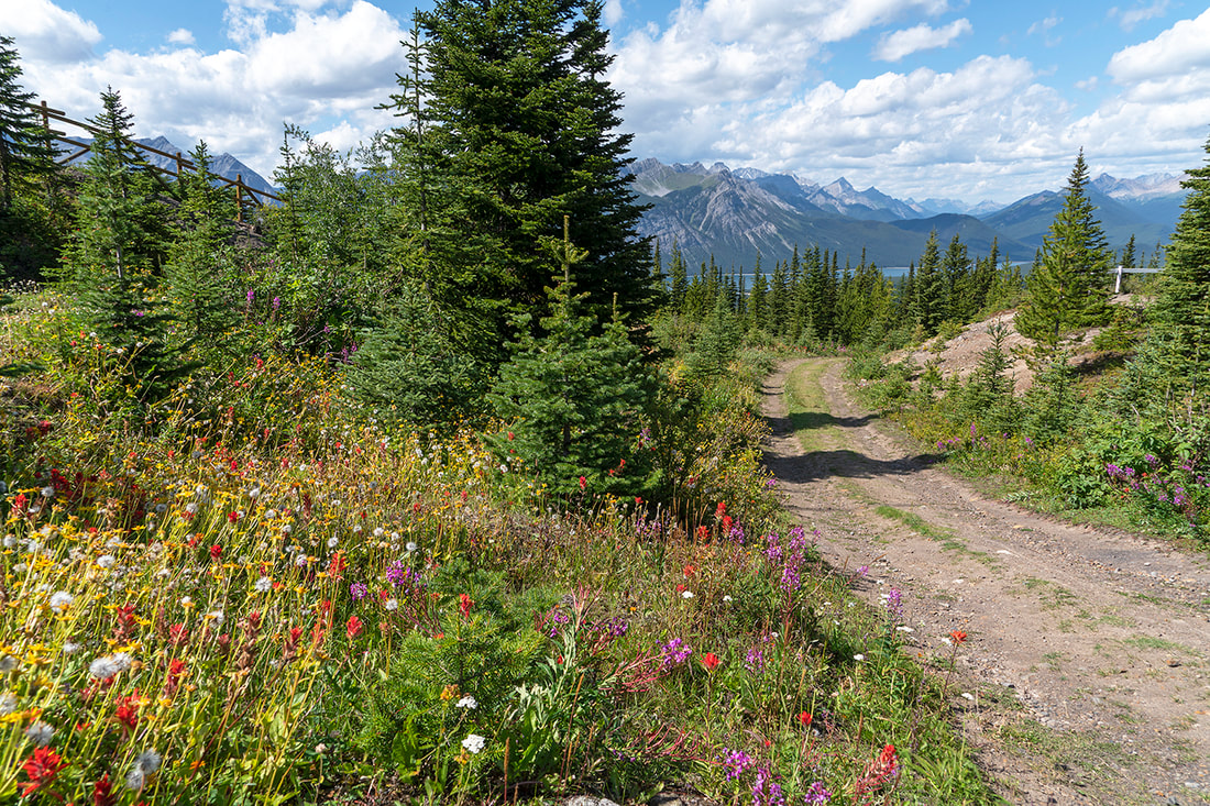
Finally the lookout comes into view from the bottom of another short, rising section of trail. Wild flowers speckle the side of the trail leading toward the structure which sits awkwardly in the natural setting.
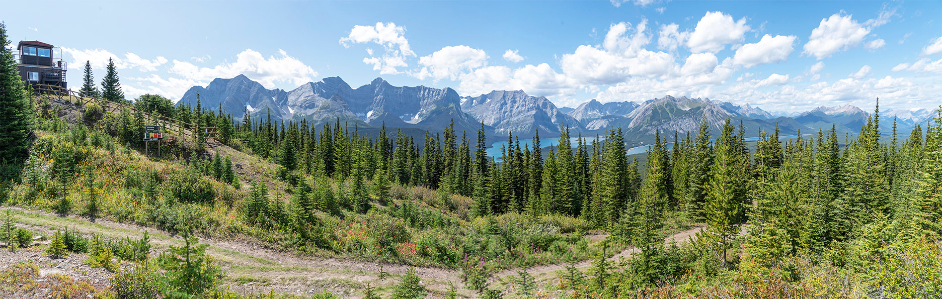
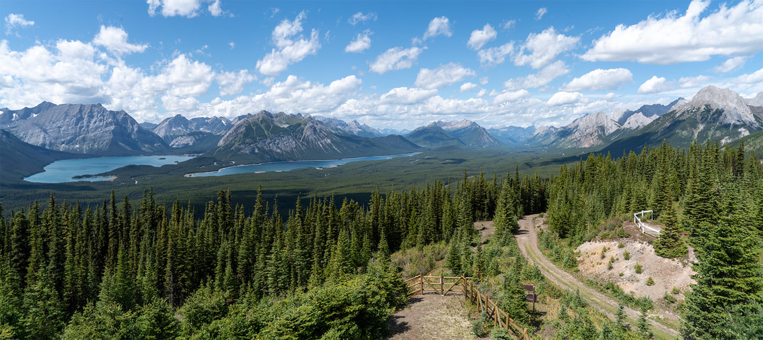
Before you reach the summit there is a small viewing area to the left of the trail that shows a wonderful full panorama from the lookout and over the forest to the upper and lower lakes and all the way back to highway 40.
Zooming in shows (left to right) Mt Sarrail which holds Rawson Lake in its cirque. Then a gap leading to the hidden valley before Mt Lyautey towering above the south west corner of the upper lake. Next in the distance is Mt Putnik on the Alberta/British Columbia border and finally, on the right side of the frame Mt Indefatigable rises from the waters of the lower lake.
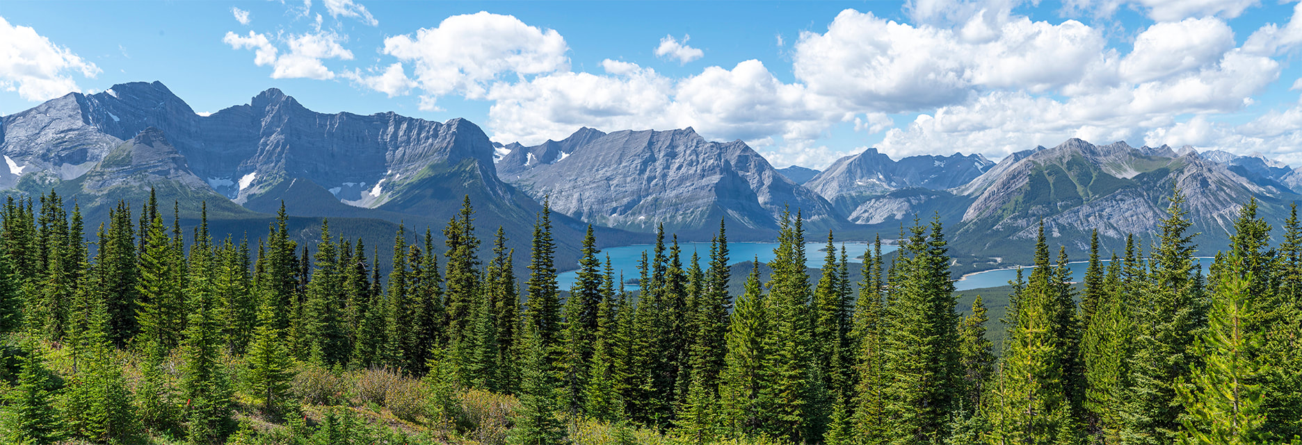
Further north beyond Indefatigable and the lower lake, Mt Kent and Mt Lawson form a long horseshoe between highway 40 and the Smith Dorrian Trail
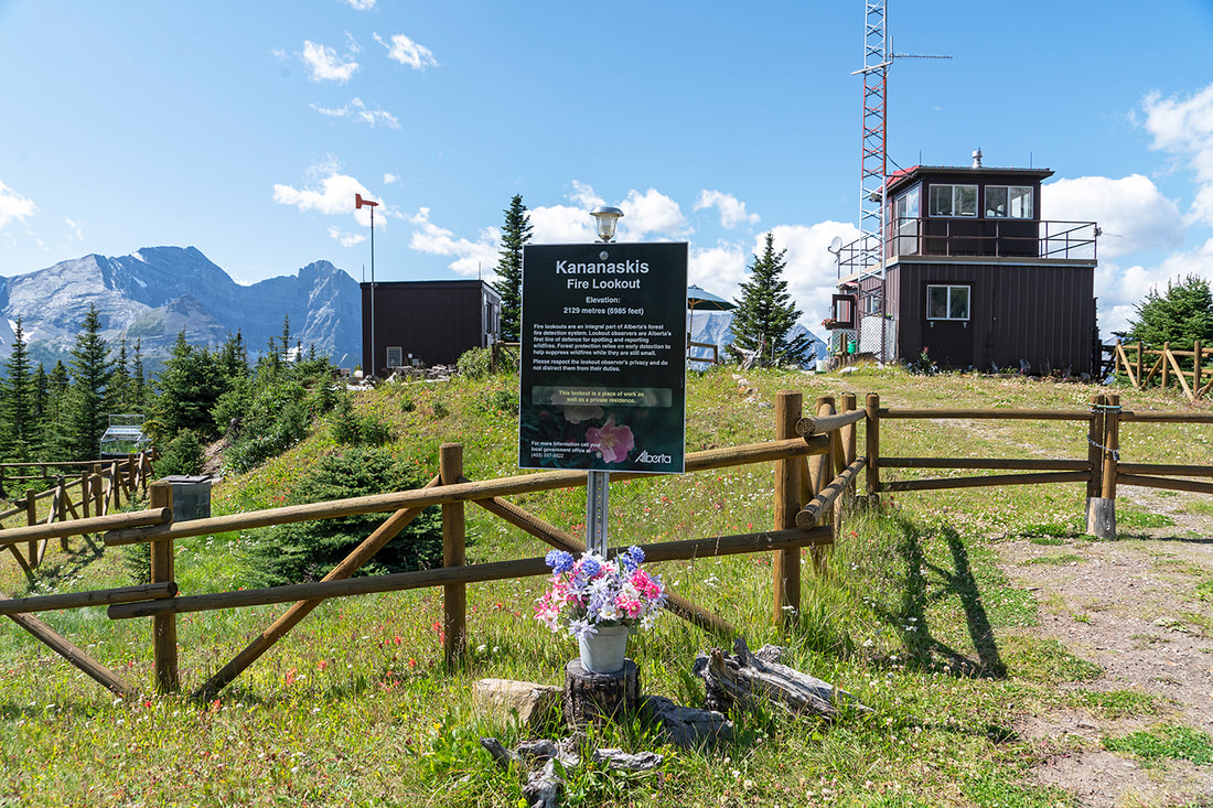
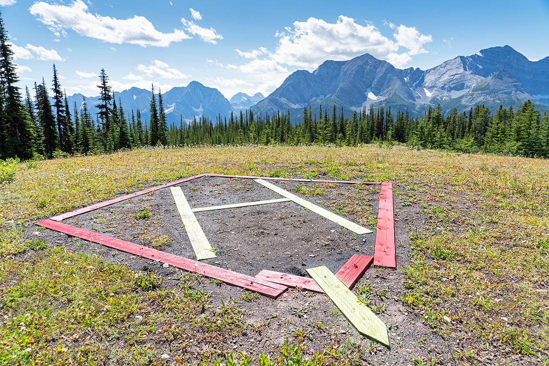
From the viewpoint, hiking just a few more metres takes you to the lookout summit where a small meadow provides a wonderful setting and a landing zone for supply/servicing helicopters. The gallery below has captions of a few images made around the lookout.
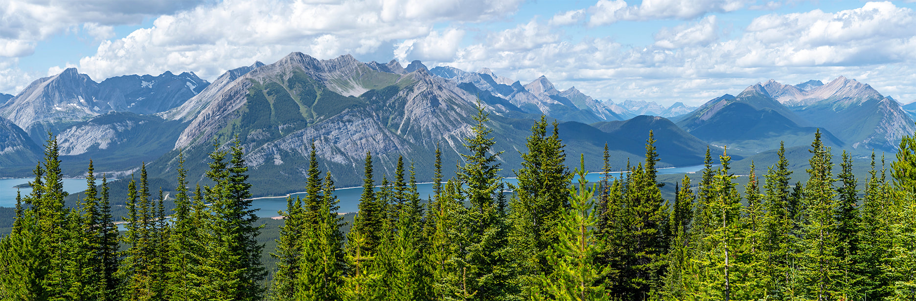
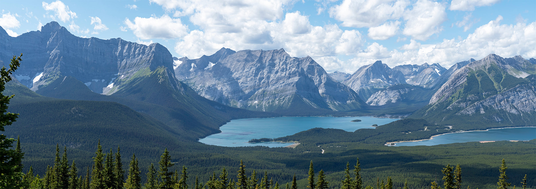
Fortunately for me, the observer in the tower came out and asked if I'd like to go up and get some shots from the lookout, a question that didn't take much thinking about. From high above the trees the shot I described earlier shows the real dominance of the mountains around the lakes. For scale it is 16 km (10 miles) around the upper lake seen in the centre of the frame here.
A final shot showing the spectacular view from the lookout tower back toward highway 40 and the route in through the forest. On the right side you can see the viewpoint from which I took the earlier shots.
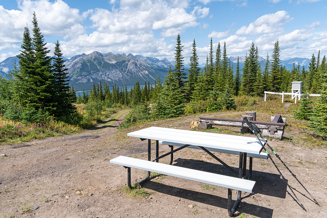
And that's it, a lovely short hike, well suited to families with little effort beyond the short switchback section, seating available at the summit and spectacular views. I don't guarantee that the observer will invite you to the tower platform if you do make the hike, but I'm truly grateful that he allowed me to share his workplace, make some images and have a chat for 15 minutes or so.
All in all this is a nice hike to a stunning viewpoint and well worth exploring on a day when the sun dissuades you from doing too much hard work.
All in all this is a nice hike to a stunning viewpoint and well worth exploring on a day when the sun dissuades you from doing too much hard work.