The Ghost River
Date Walked: 22nd July 2013
Distance: 5.1 miles (8.3 km)
Actual Ascent: 206 feet (63 m)
Time Taken: 1.5 hours
Recently I have been studying maps of the local area trying to find access to the foothills north of highway 1 (Trans-Canada Highway) I thought I had found one a week or so ago when out with Sarah but it turned out to be a dead end. With thunderstorms predicted for today I decided to take a drive out to the 'Ghost Wilderness' area to try again.
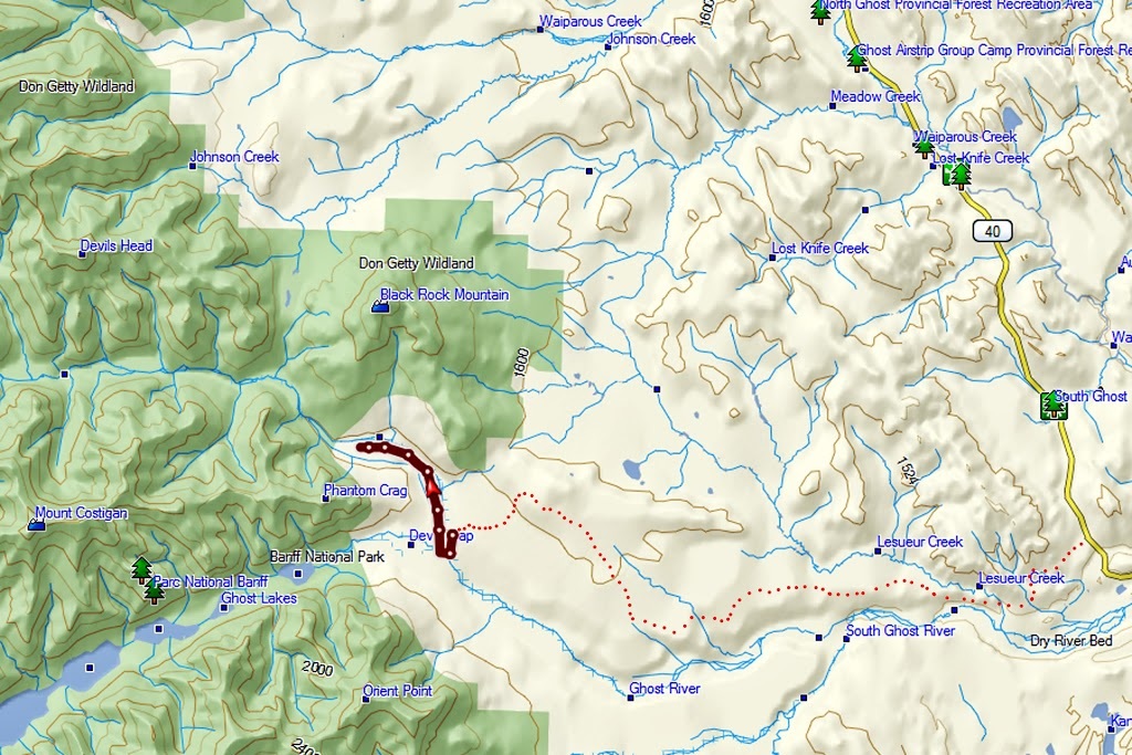
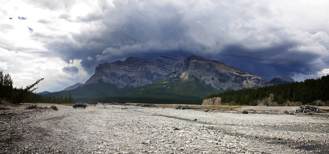
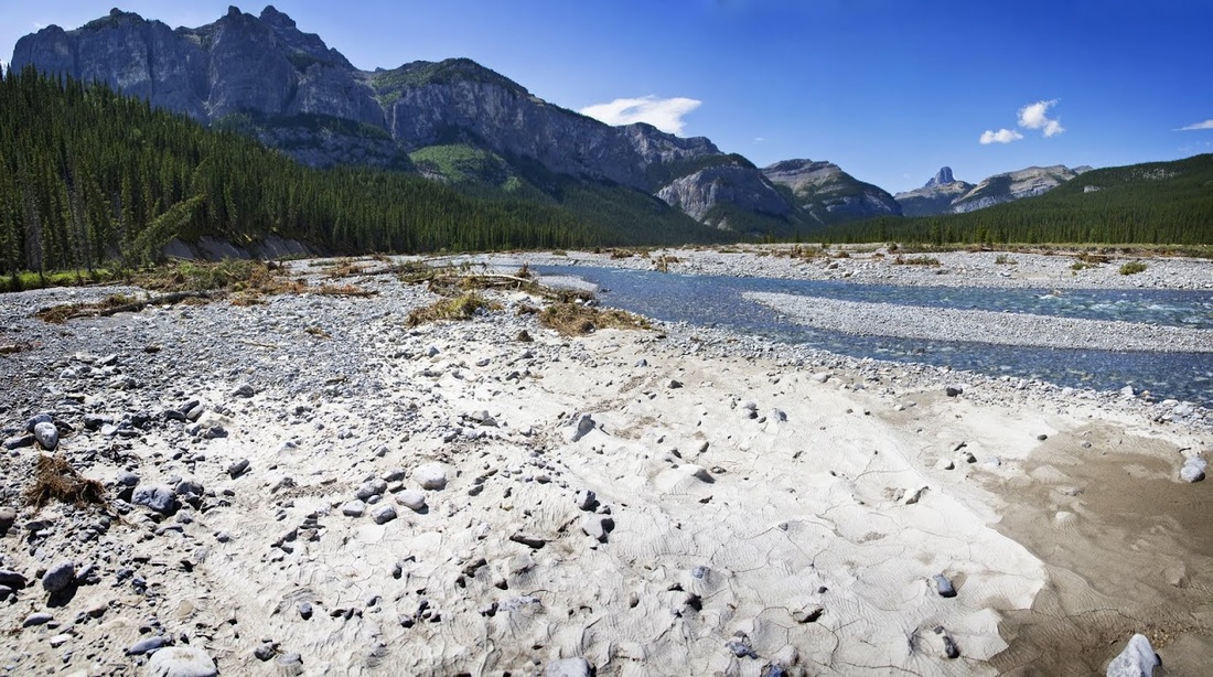
I found an access road that led west from a forestry road toward the river, my map says it goes all the way to the river and even goes upstream a few kilometres. I started down the winding track and hit a patch of potholes so numerous that, even at it's best, there was hardly a metre of dirt track between each pothole. I thought/hoped that it might improve and carried on painstakingly traversing this minefield for the next 15 km (it started to feel like a quest) but eventually I reached a huge steep descent to the Ghost river below where I parked on the riverbed and got out to stretch my legs. I headed upstream toward Black Rock Mountain just to get the lay of the land. The road that led upstream had all but washed away and only remnants of it remained so this was as far as the truck was going today.
I found an access road that led west from a forestry road toward the river, my map says it goes all the way to the river and even goes upstream a few kilometres. I started down the winding track and hit a patch of potholes so numerous that, even at it's best, there was hardly a metre of dirt track between each pothole. I thought/hoped that it might improve and carried on painstakingly traversing this minefield for the next 15 km (it started to feel like a quest) but eventually I reached a huge steep descent to the Ghost river below where I parked on the riverbed and got out to stretch my legs. I headed upstream toward Black Rock Mountain just to get the lay of the land. The road that led upstream had all but washed away and only remnants of it remained so this was as far as the truck was going today.
I was only a very short distance from the truck when a huge thunderstorm sneaked up over Orient Point just to the south of my position. As I was only looking around I thought I'd beat a hasty retreat to the truck and sit it out.
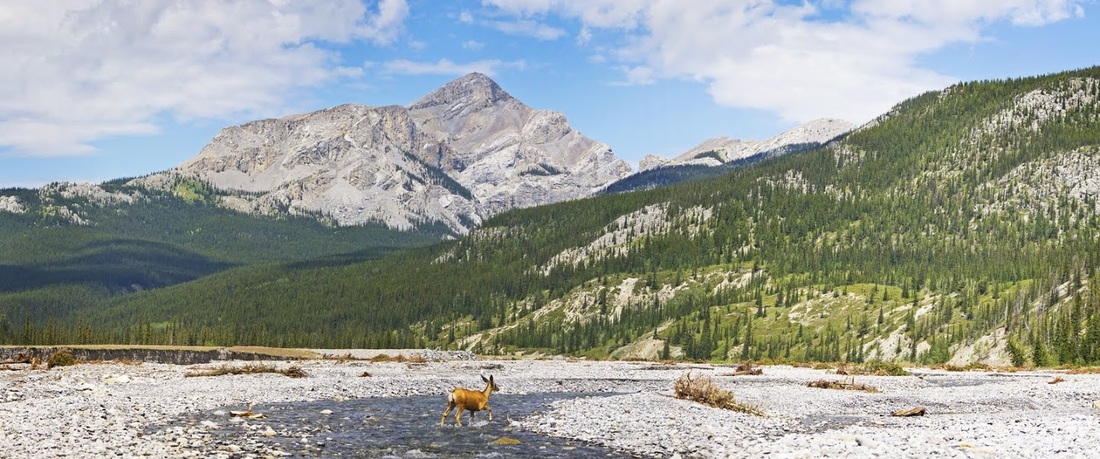
just as I turned away I spotted two deer coming out of the forest opposite and crossing the river bed toward me, I decided to crouch down where I was and see what happened next.
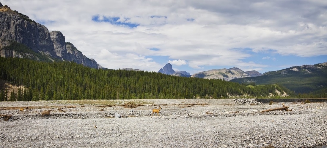
The deer saw me but didn't take too much notice as I watched them approach the river and take a drink, it was nice to be sat out in the open watching these notoriously skittish animals going about their day.
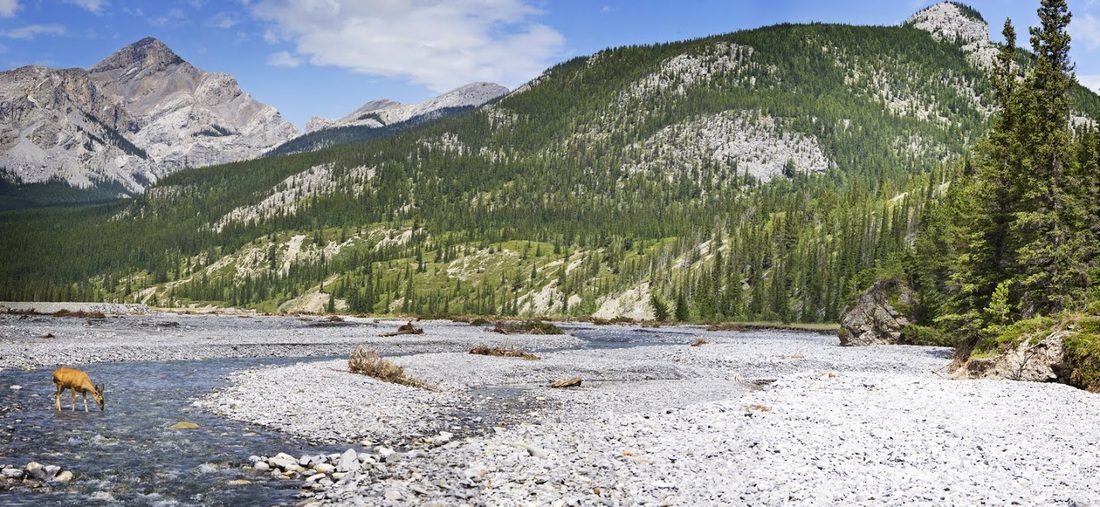
They spent some time scouring the river bank as if they couldn't find what they were looking for, I presumed that the floods have changed their trail sufficiently to make it more difficult to spot.
one of the deer walked back and forth looking at the bank while the other remained at the river, drinking and occasionally looking at me to see what I'm doing, I'm just staying very still enjoying the moment.
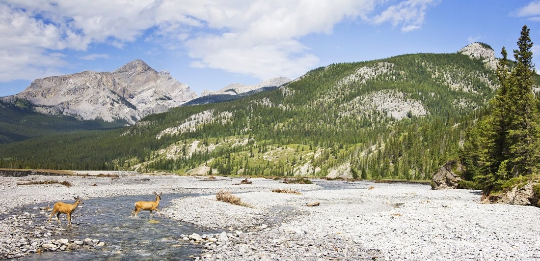
Eventually the leading deer spots the trail it is looking for (or seems to be looking for) and bounds up to the bank, it looks back at the other one before disappearing into the trees
deer number two then follows, paddling across the river, crossing the stoney ground to the forest and bounding up the bank where it too melts into the trees and out of sight. They may be a common sight but sitting on a riverbed in Canada watching them in their natural habitat for just a few minutes was a genuinely enjoyable experience for me and one of the reasons I come to such places.
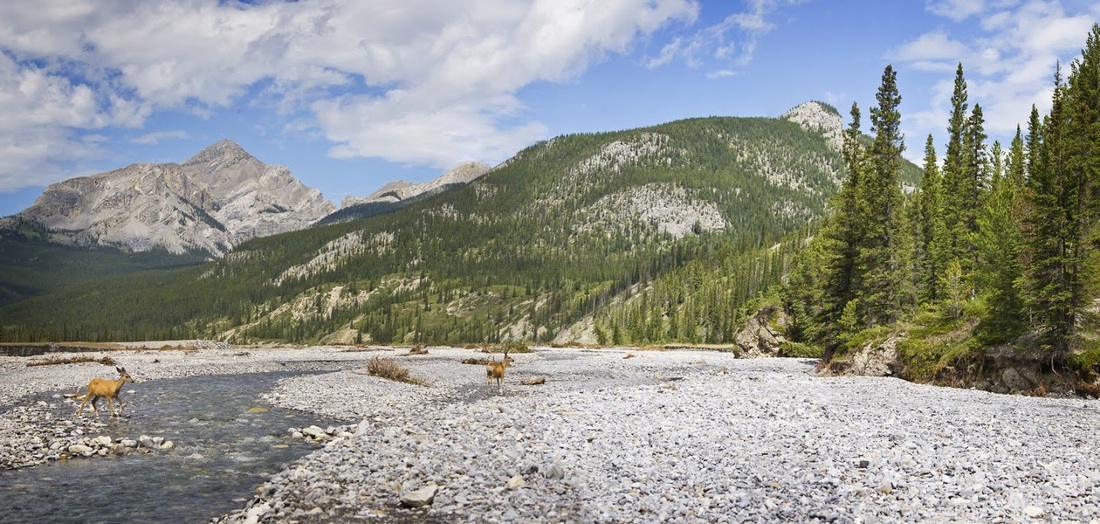
When the deer have passed I turn around and return to the truck to avoid the storm but before I actually need to take shelter it turns away toward the west and moves on. I decide that after the terrible road to get here I should at least take a short hike. I have no kit with me but am wearing trail shoes and have bottles of water in the truck. I grab a couple and set off downstream a little way to find a crossing point. In a short time I am across the river and back upstream as far as Black Rock Mountain.
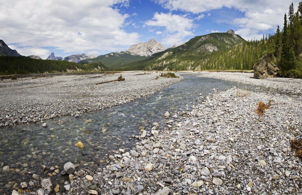
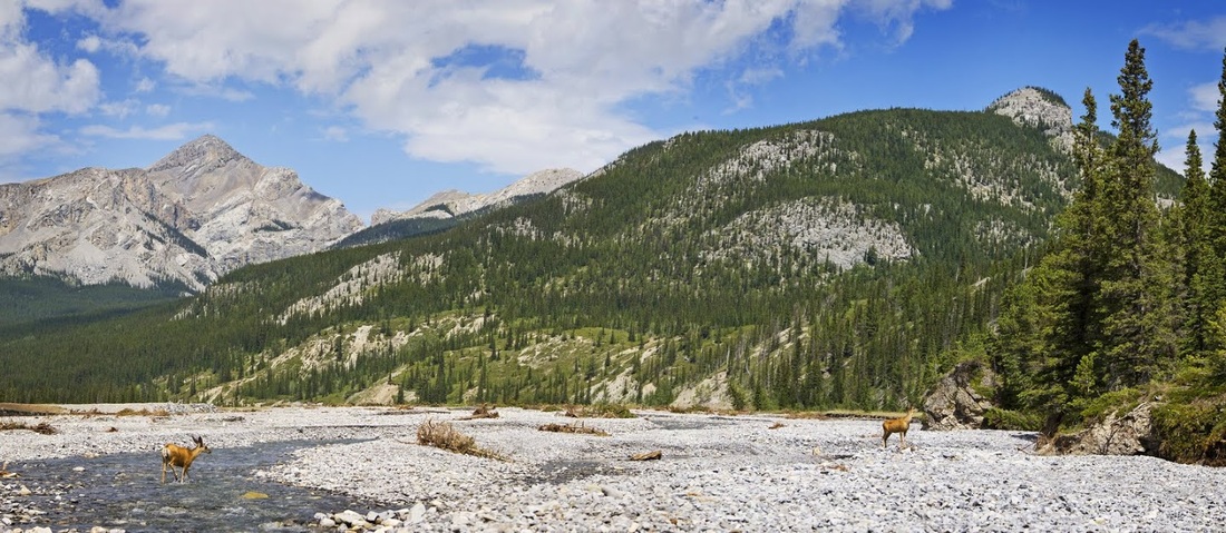
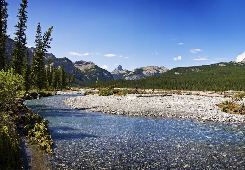
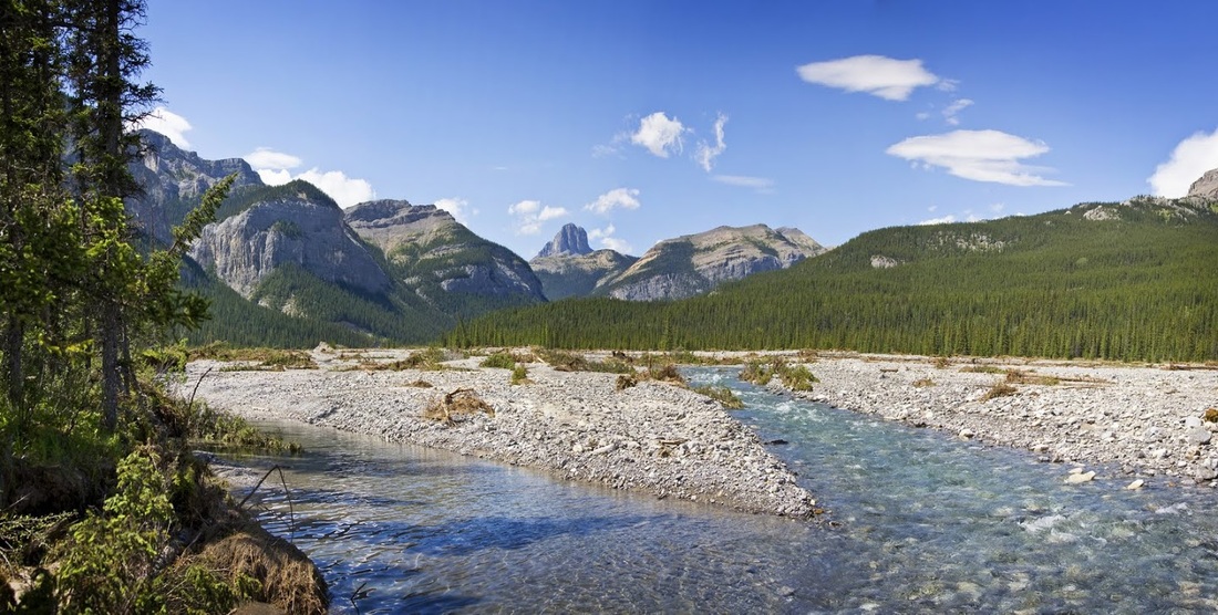
Once around the left hand bend in the river the three summits of Mt Costigan come into view. Apparently there are some of the best limestone climbs in the world right here and in winter some incredible ice climbs. I guess limestone cliffs would be synonymous with ice climbing.
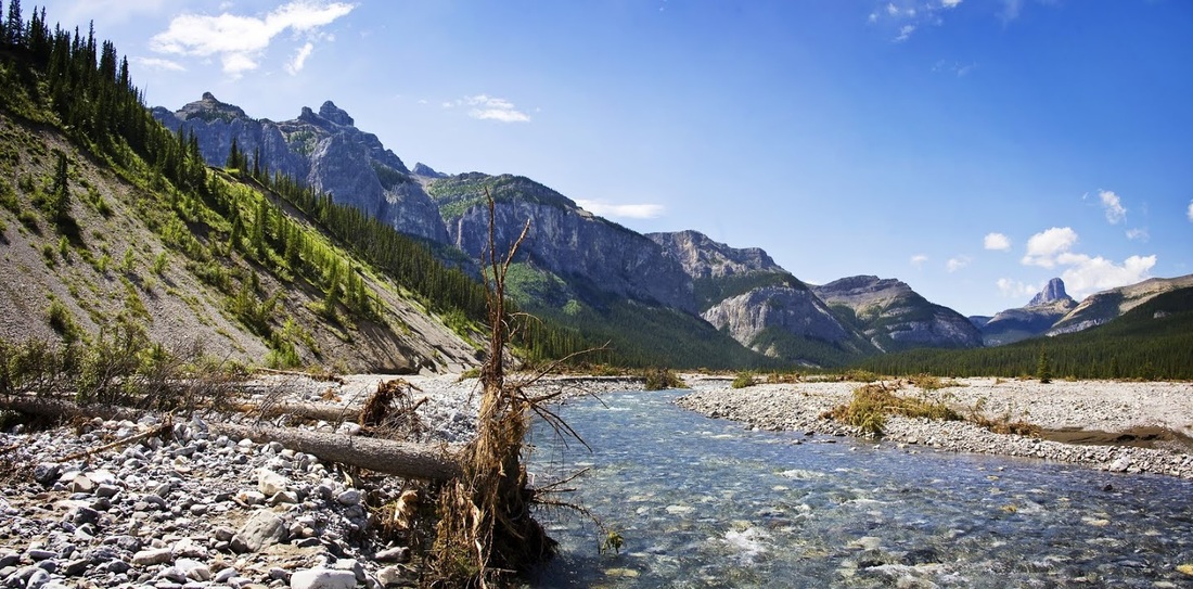
As the water has receded the riverbed has become a resting place for trees displaced by the flooding, they are scattered all across the wide stoney bed and many more are hanging precariously on the adjacent banks.
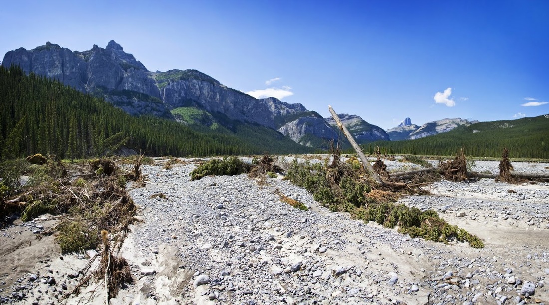
The river levels here are almost back to normal but the surrounding area will take much longer to recover. Tree growth is slow in this part of Canada so this is likely to remain a wide open area now for many years to come.
I guess this is not so much 'destruction' of the area as it is just part of the continual cycle of change that happens here, even now with the mashed up trees and scattered debris it is still a beautiful place to wander.....though I confess to feeling a little exposed without my usual bear protection and other 'safety kit' usually in tow on a hike.
The storms are staying to the south and I have blue skies all the way, but as I am forced closer and closer to the forest by the meandering river the lack of bear preparedness plays heavily on my mind and I decide it would be wise to stop here and return to the truck.
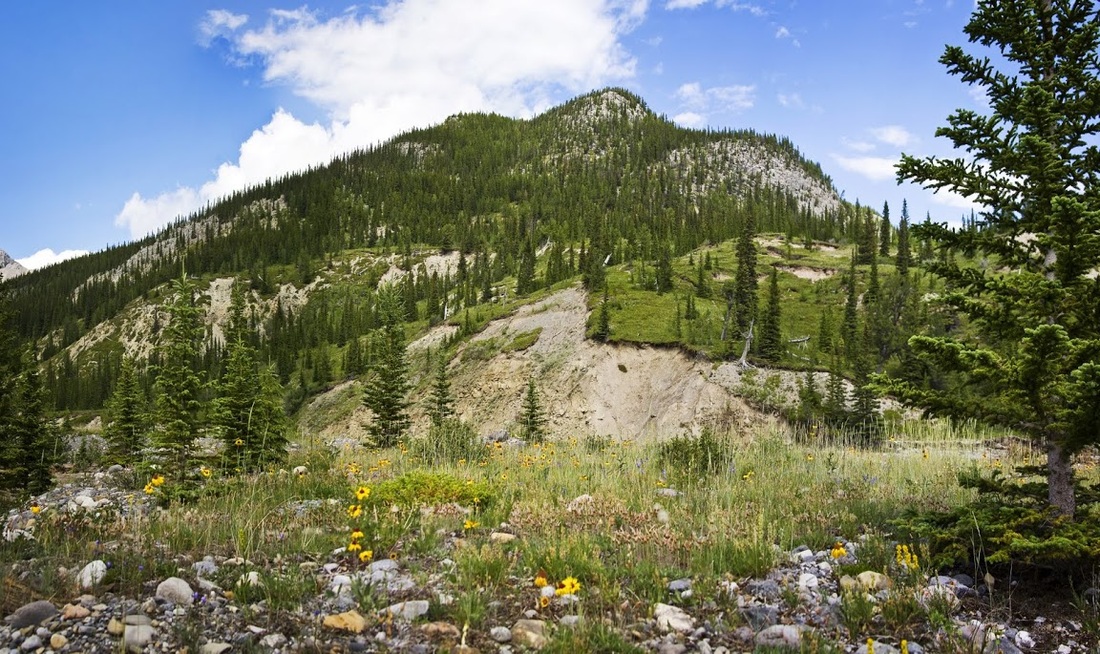
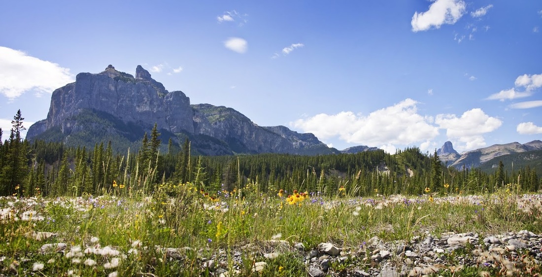
I reluctantly make my way back along the river, through the abundant wildflowers in the glorious sunshine, overlooked by Mt Costigan throughout, what a wonderful place the Ghost Wilderness is....but that track might put me off returning here.
A little discussion with a local guy tells me that the track is better when full of snow as the area is still popular in winter (for the ice climbs) so perhaps I will return then and explore Black Rock Mountain or the 'Devils Head' beyond. The red dotted line on the map below is the route of the pitted track to the river.