|
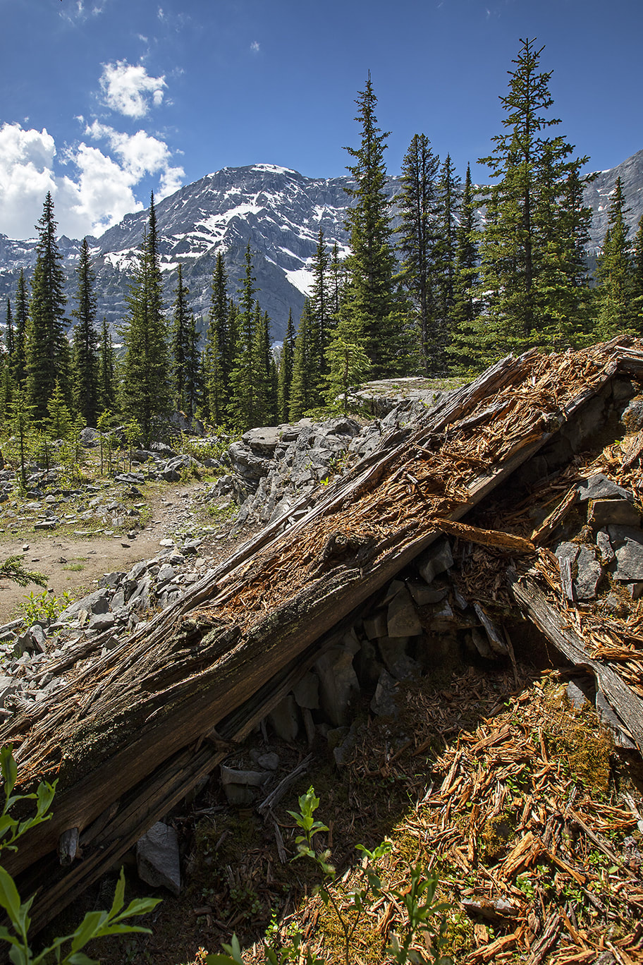
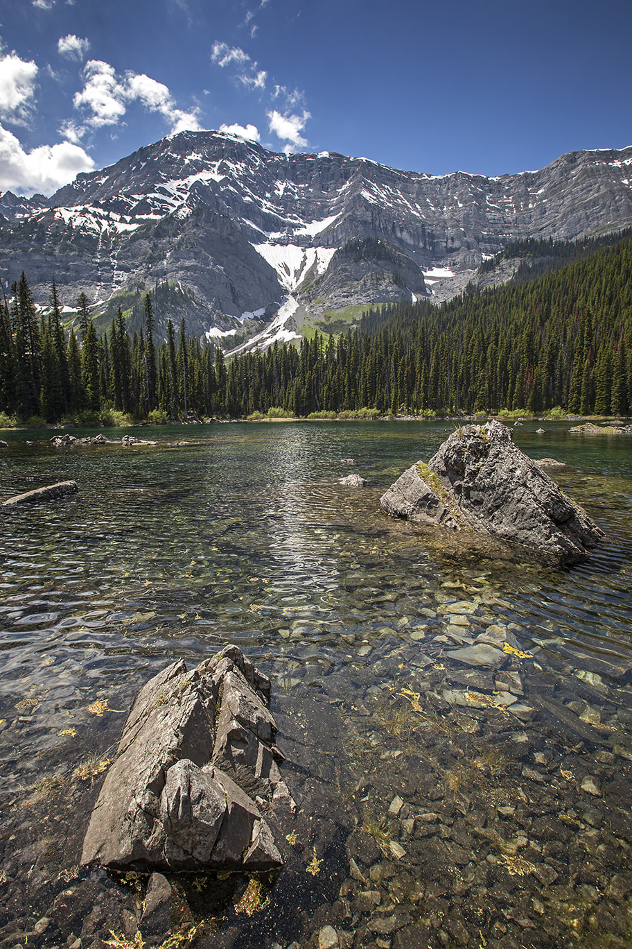
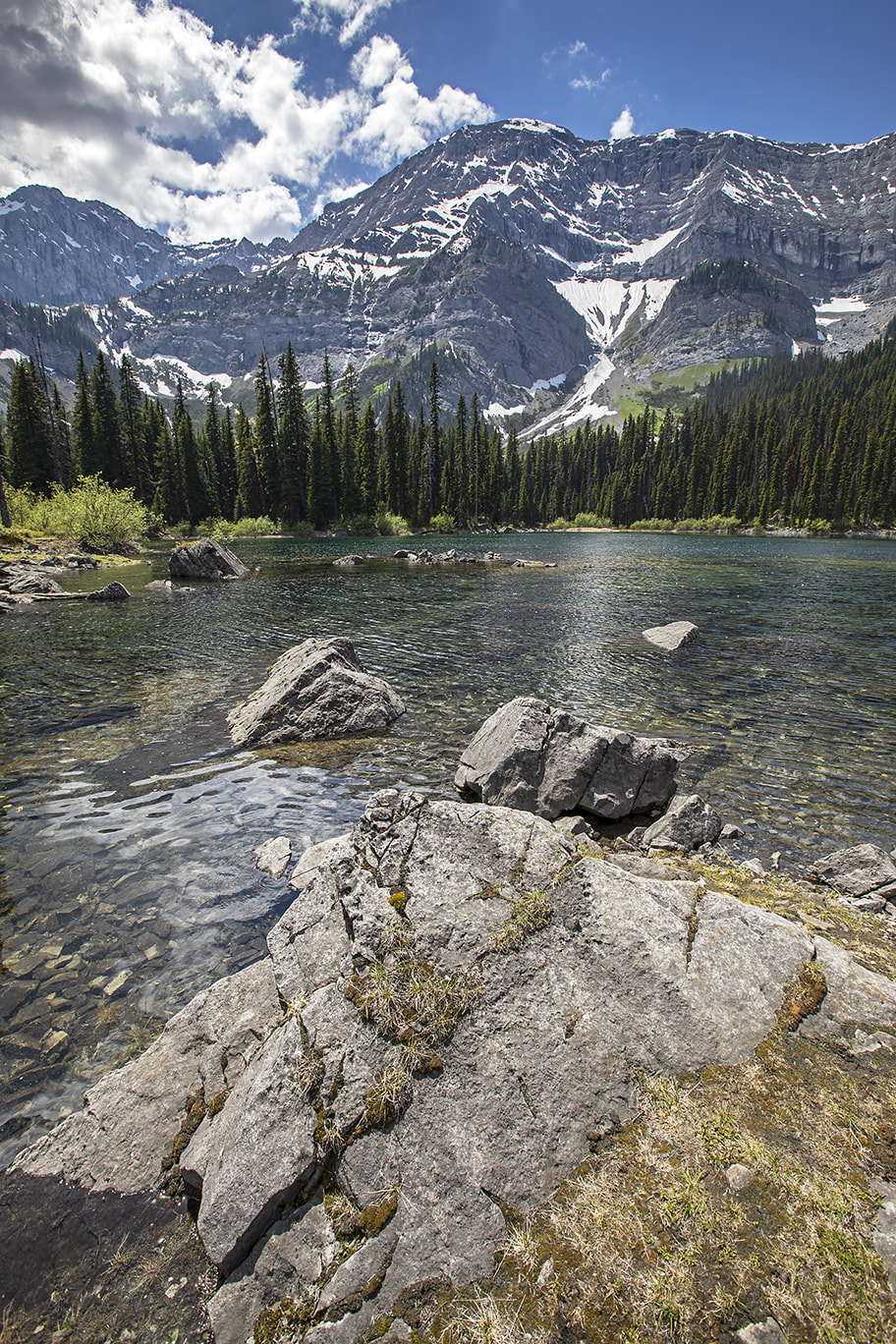
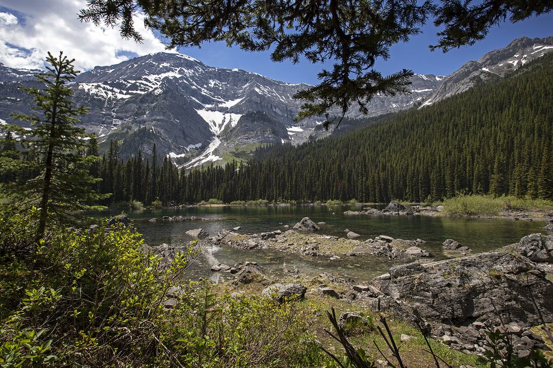
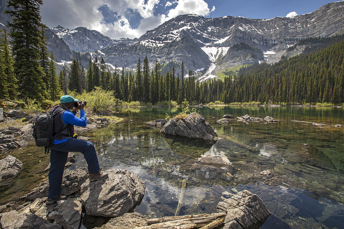
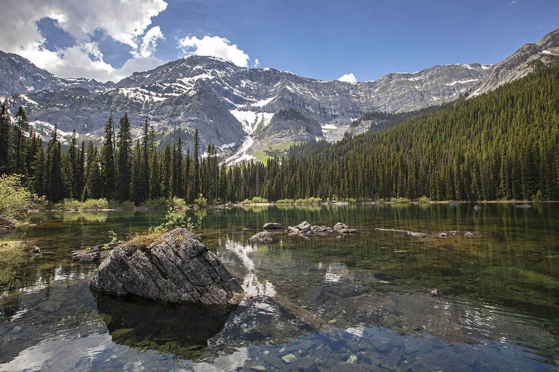
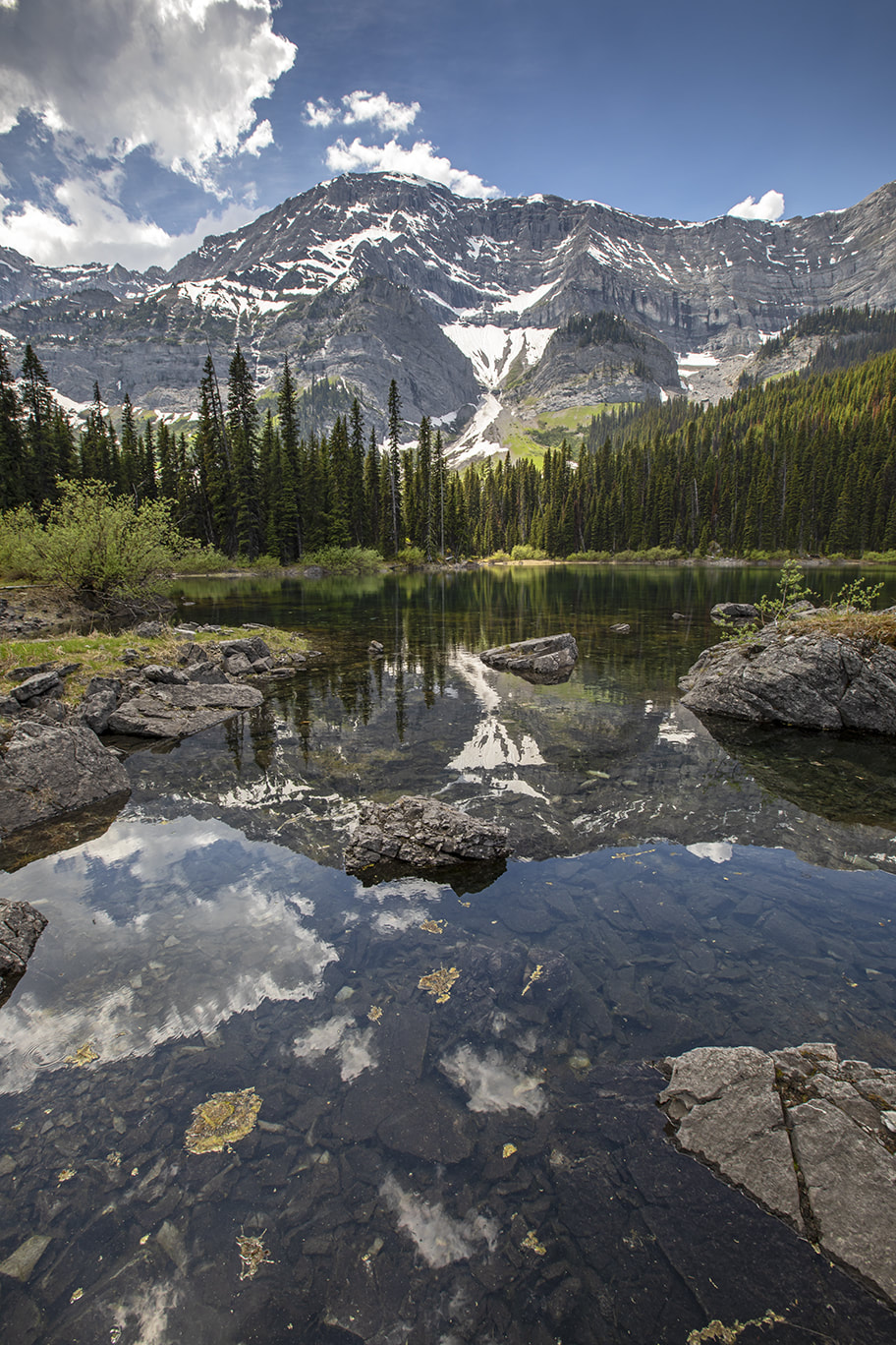
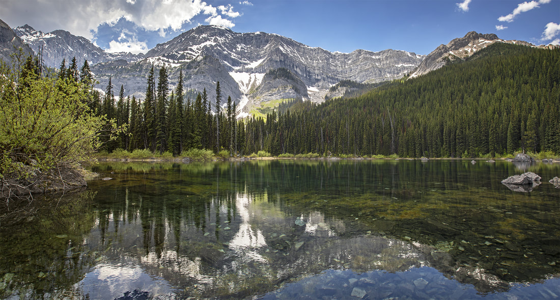
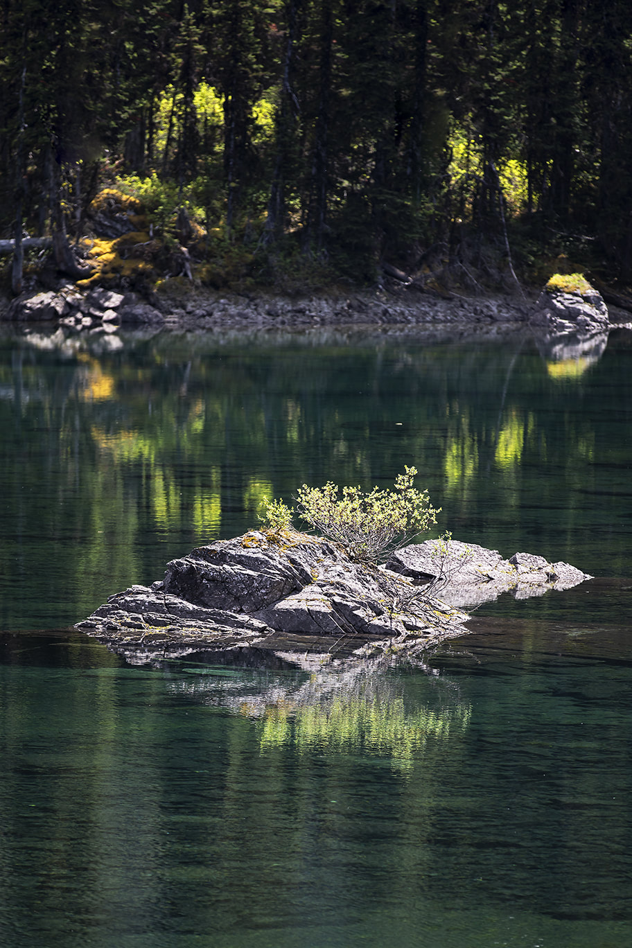
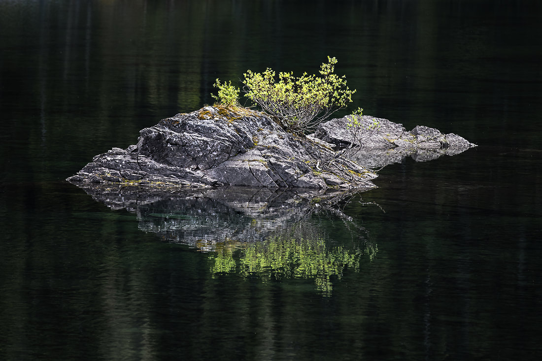
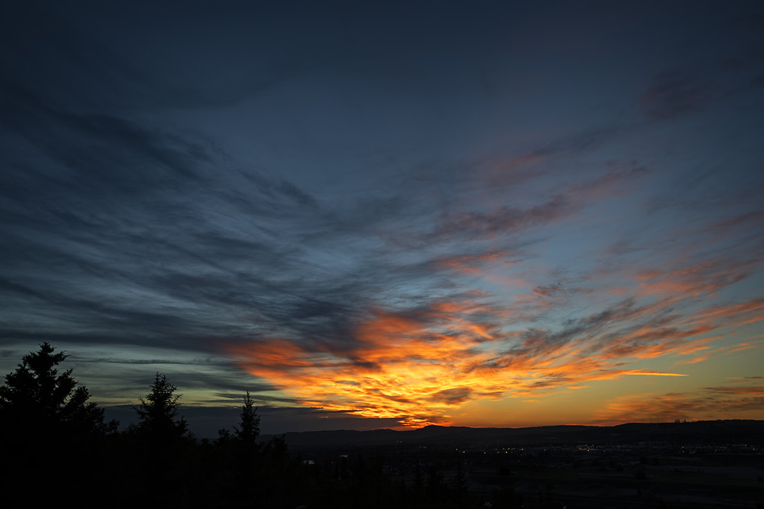
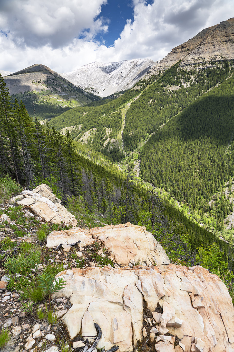
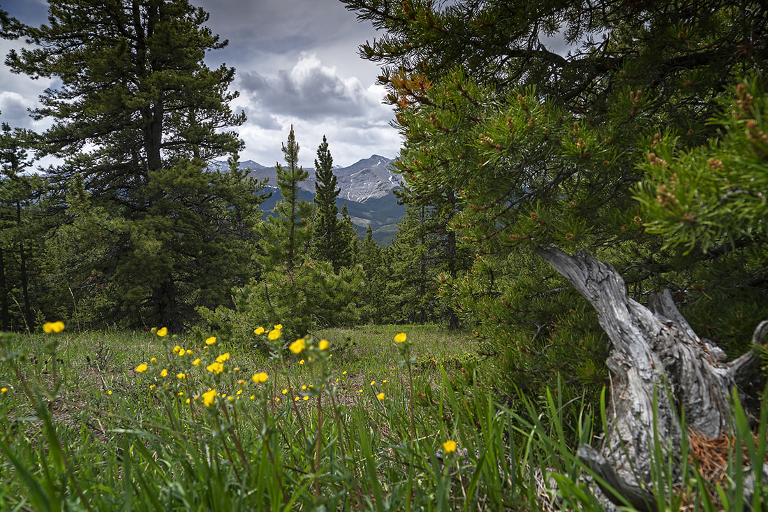
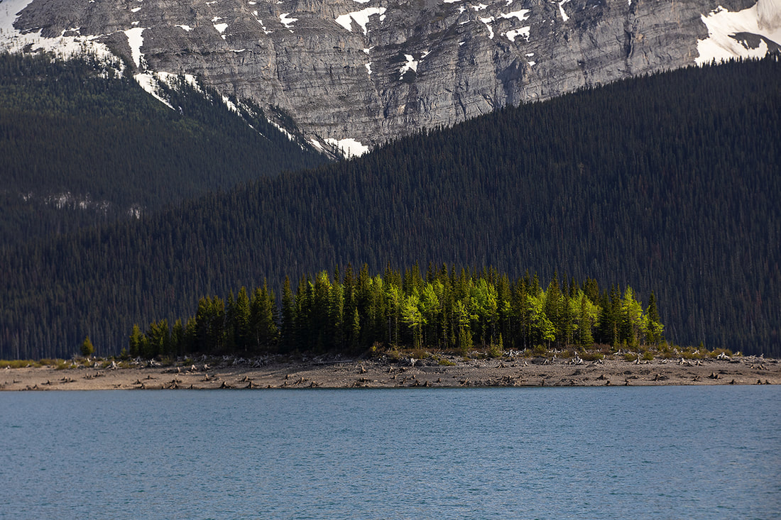
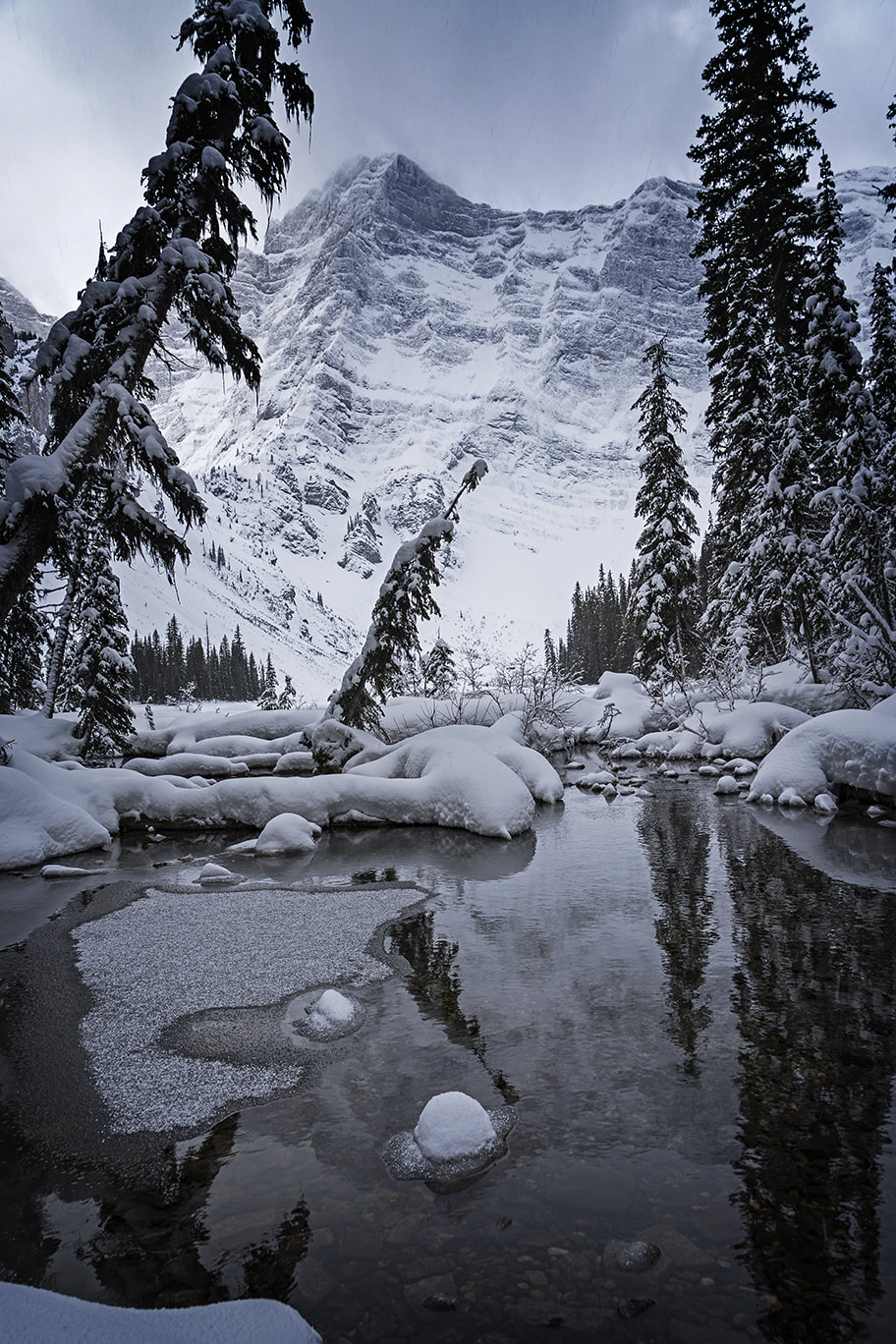
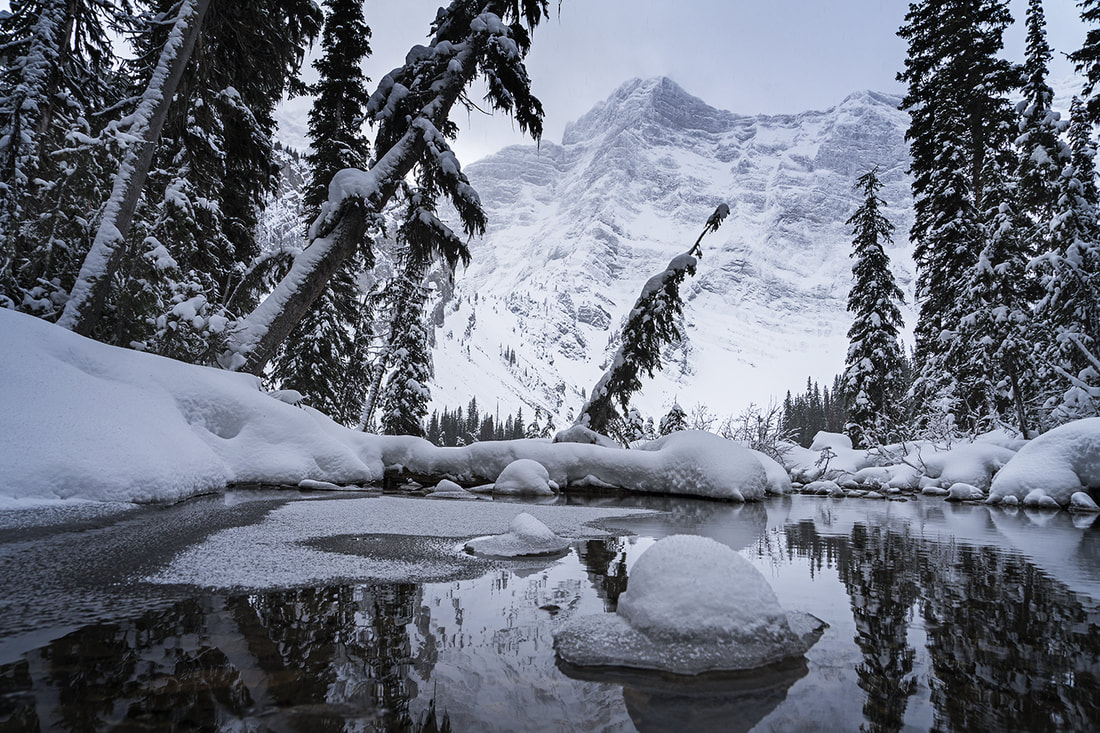
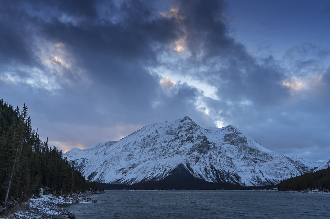
Inspired by revisiting an old route yesterday I decided to do the same today. Cecil and I were heading out with the camera gear for the afternoon and I recalled Black Prince Cirque. It is another lovely short hike with only 160m of ascent over the 5 km round trip to Warspite Lake which sits perfectly in the cirque beneath the surrounding mountains. The trail is very easy to find and well maintained throughout, it is possible to go further and climb to a greater elevation but on a hot afternoon the hike up to Warspite Lake and around the circumference is just right. As always Cecil and I made images, laughed and joked and put the world to rights as we walked. We made some nice shots and were still home in plenty of time to have dinner with Sarah and catch the sunset from the balcony, it was an excellent afternoon and evening. 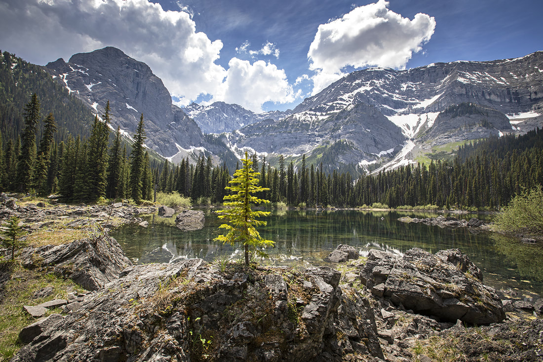
2 Comments
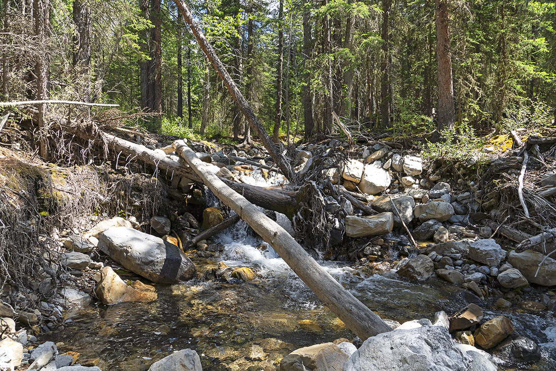
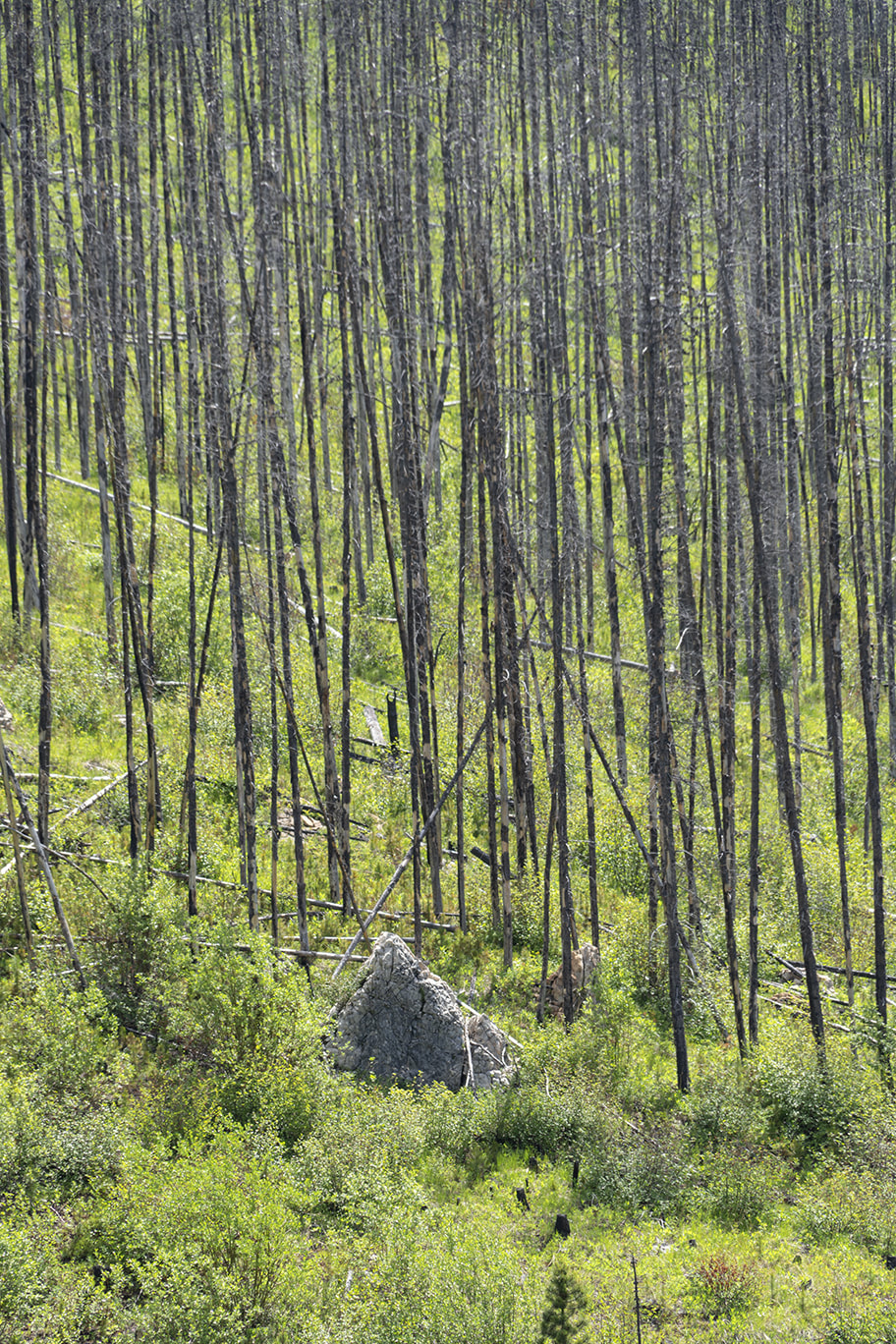
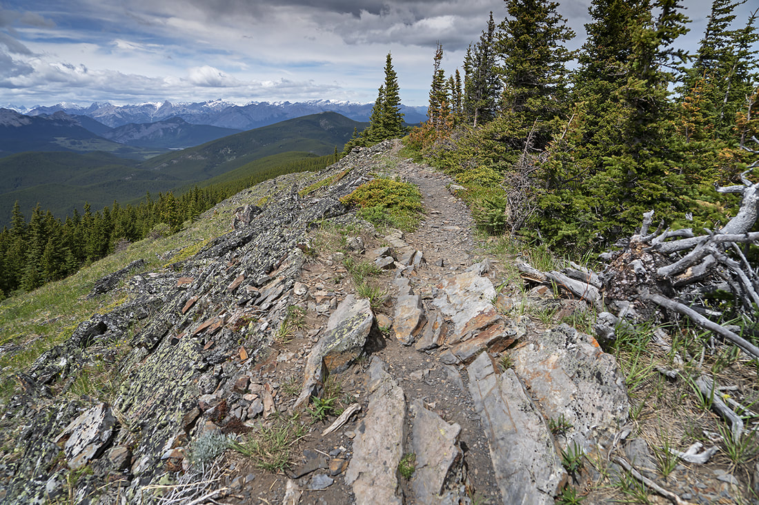
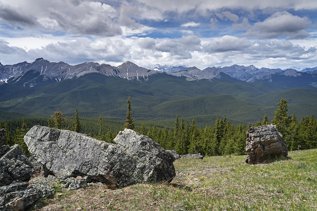
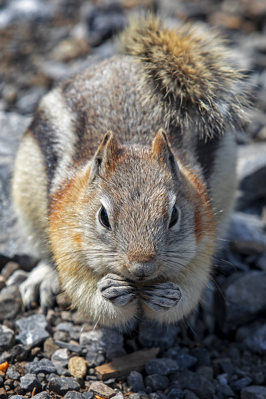
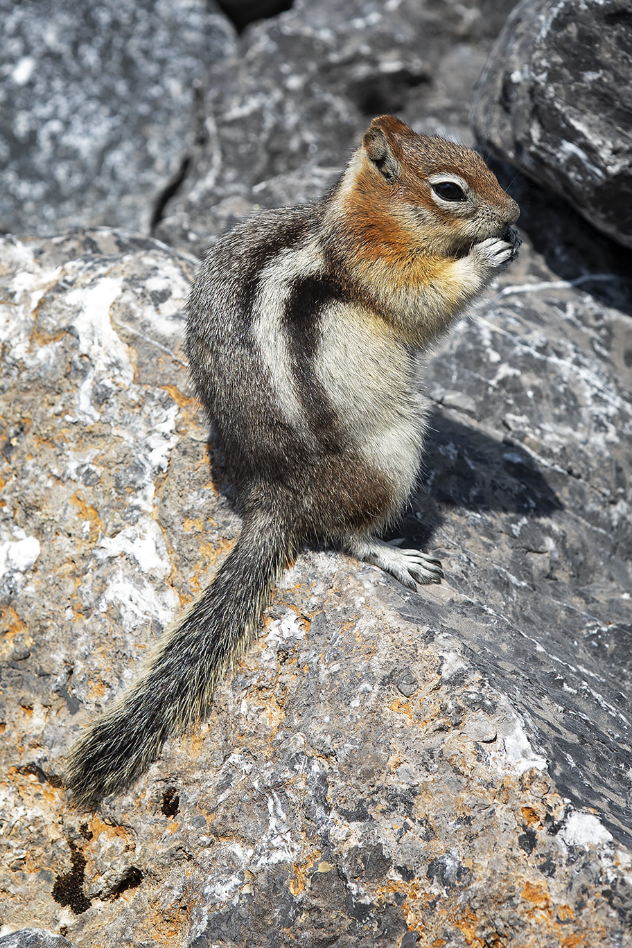
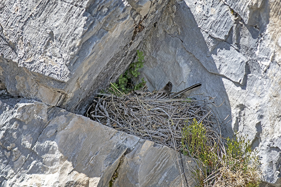
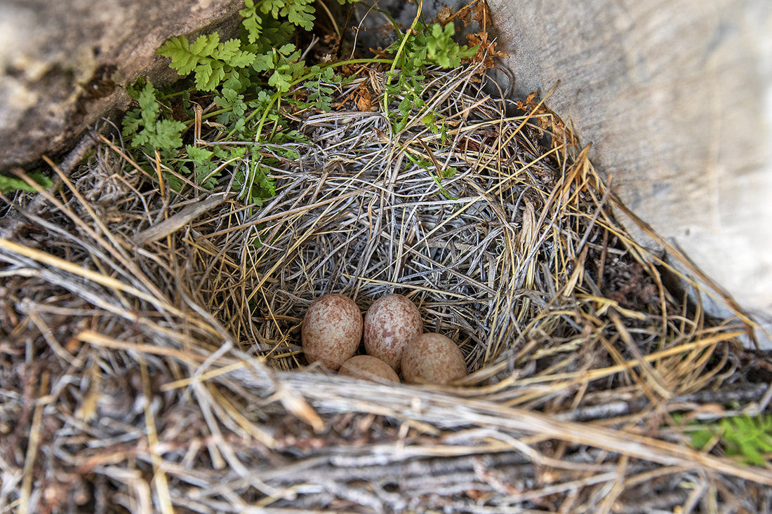
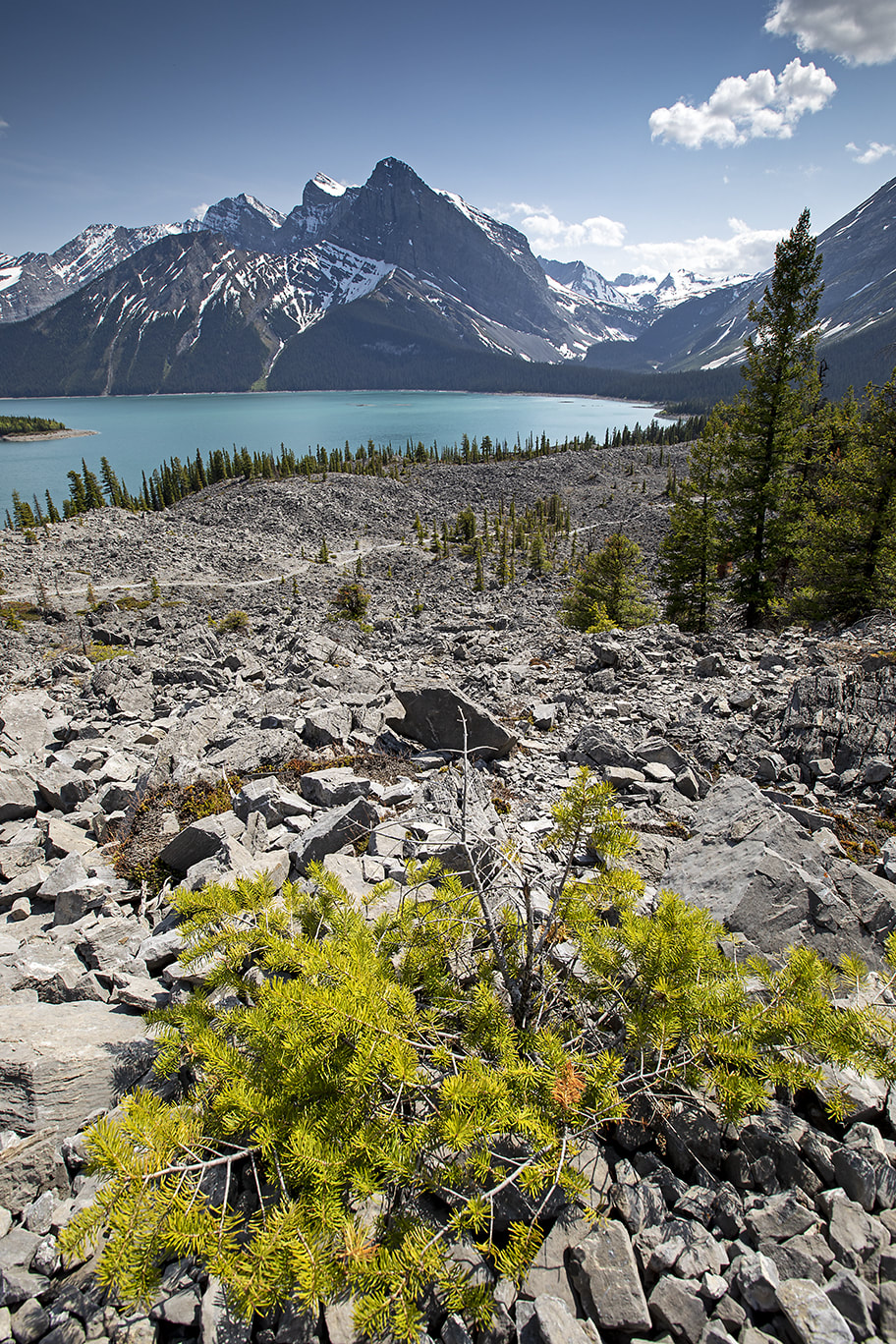
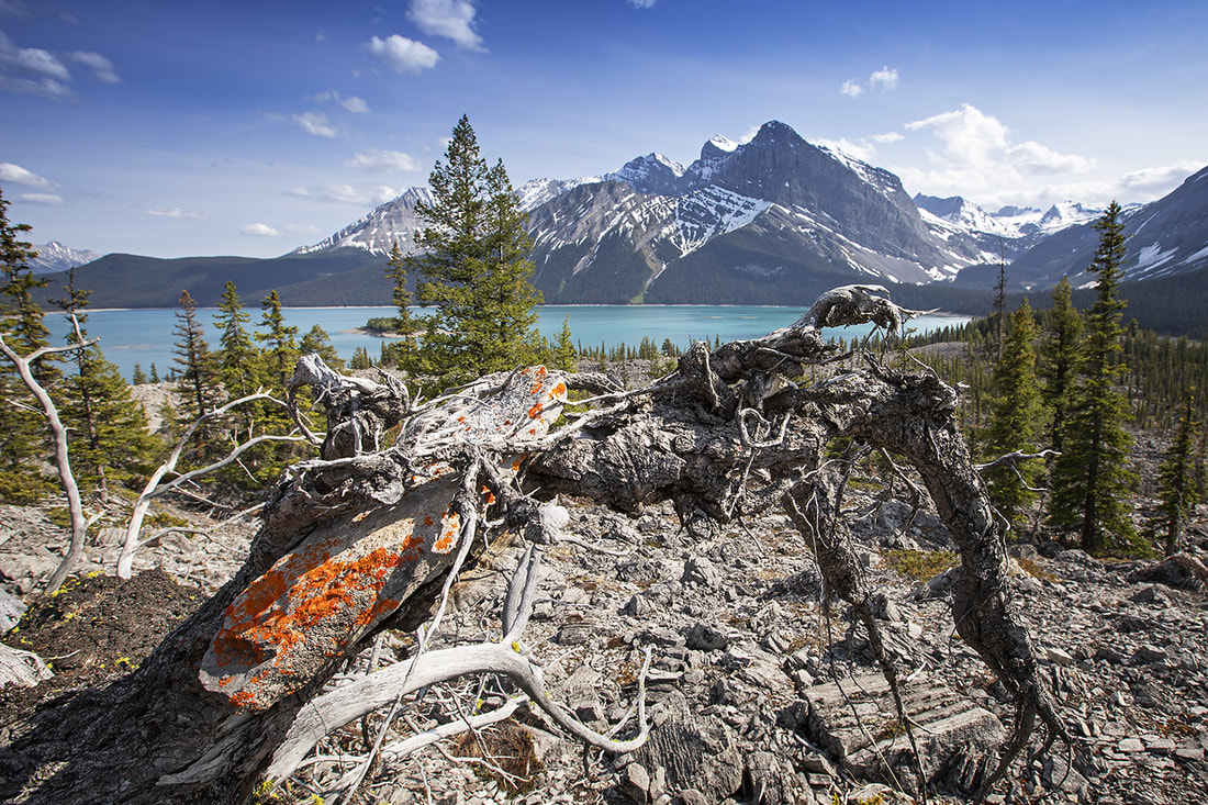
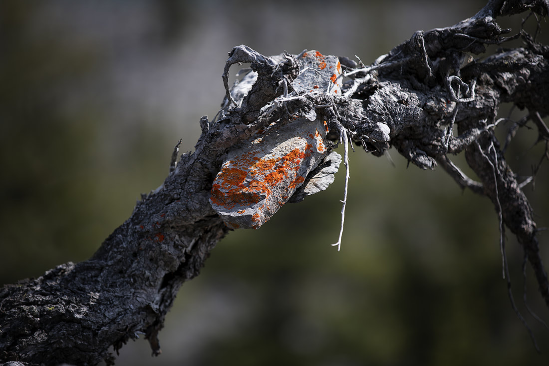
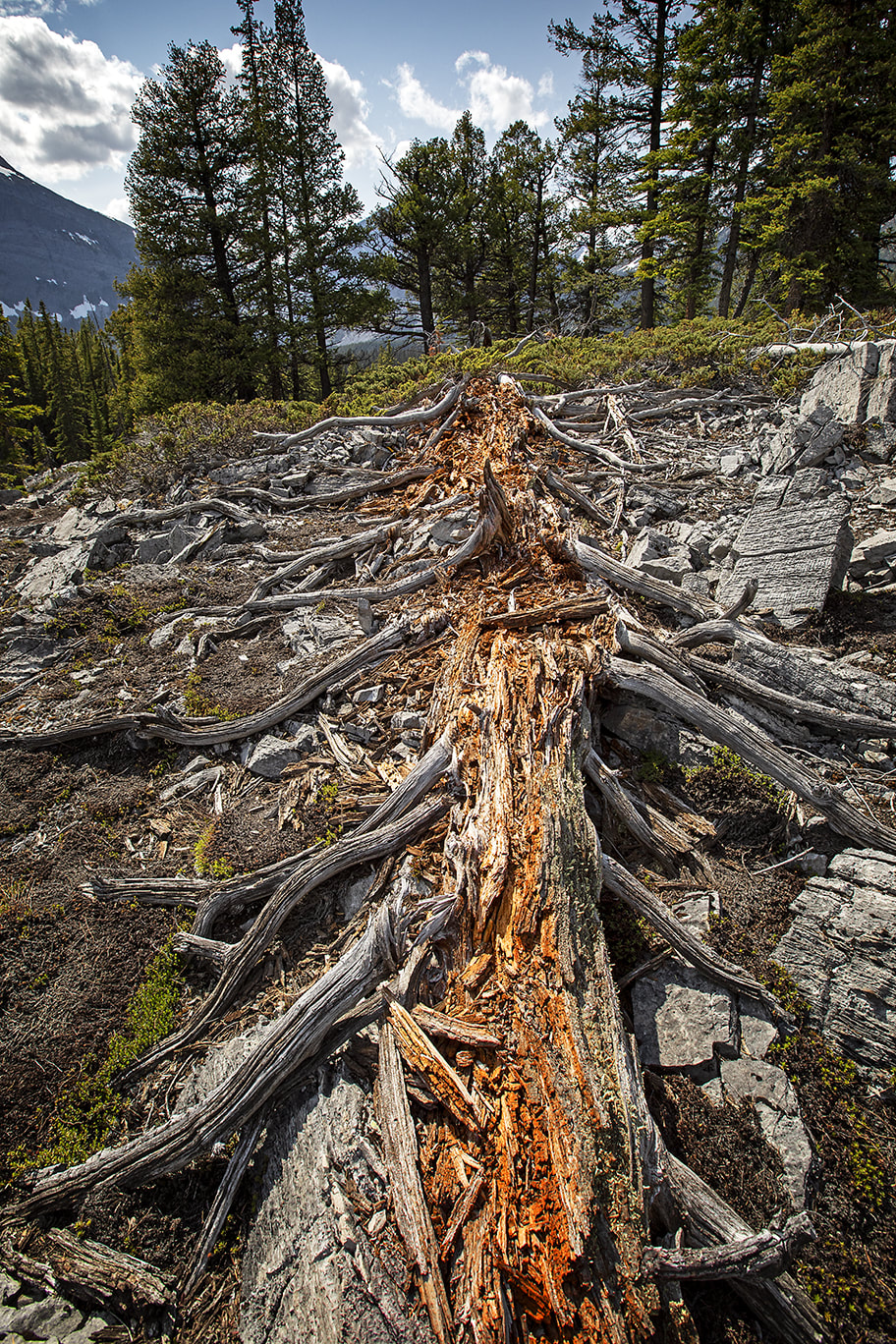
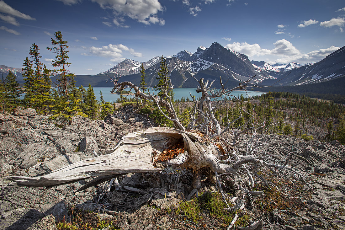
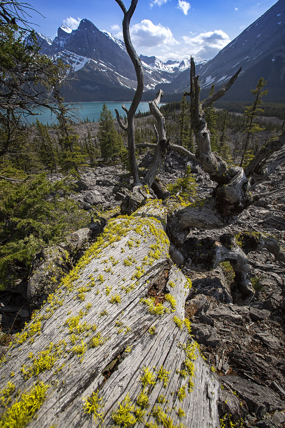
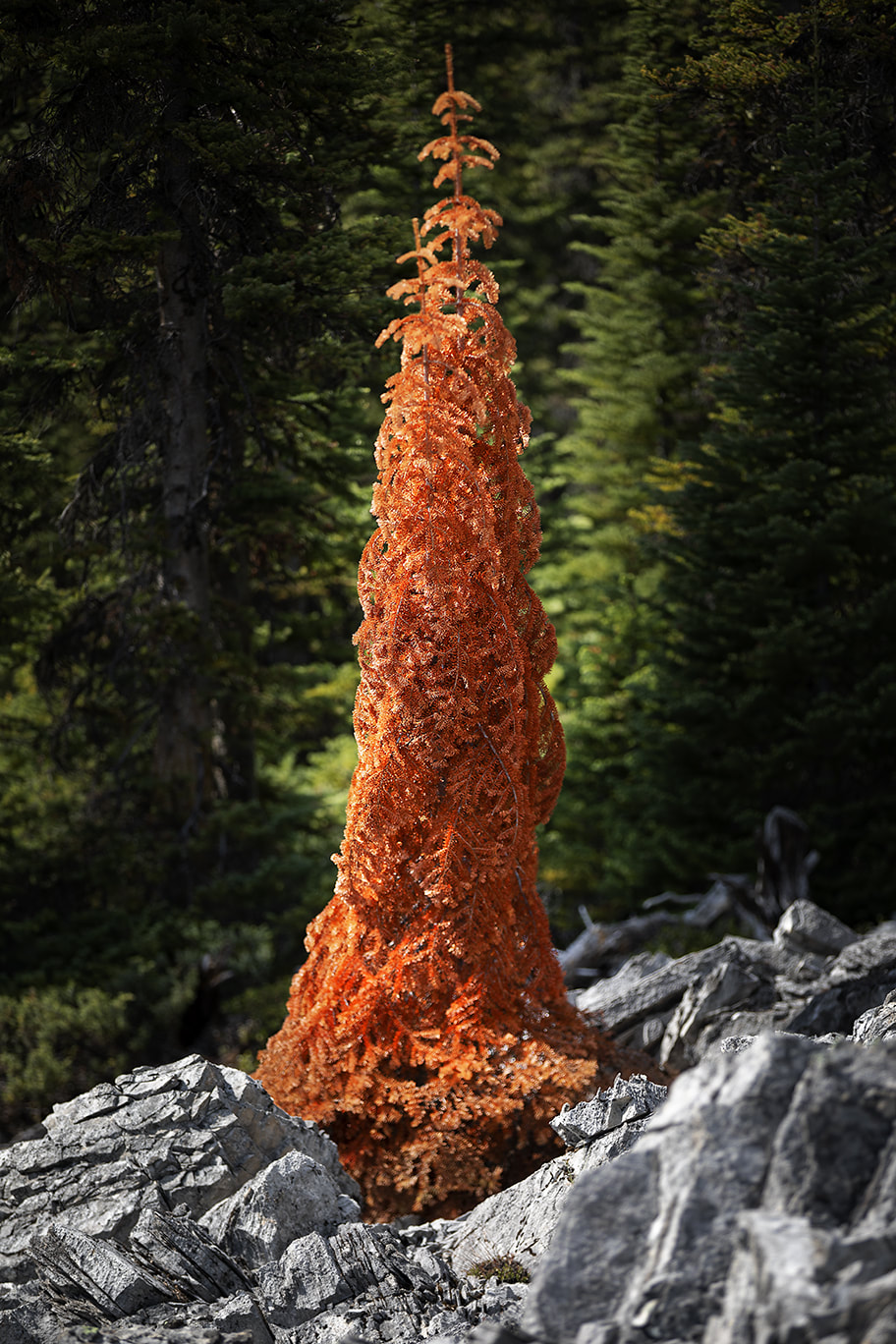
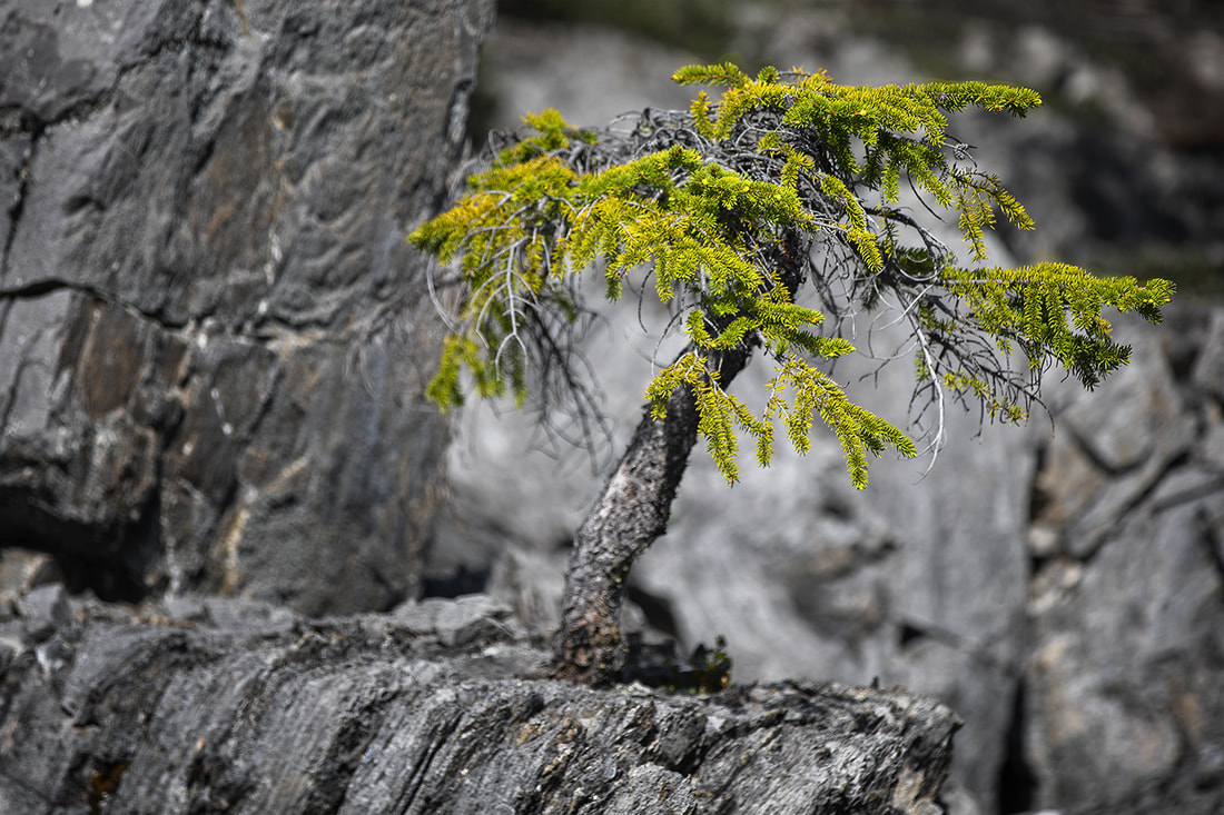
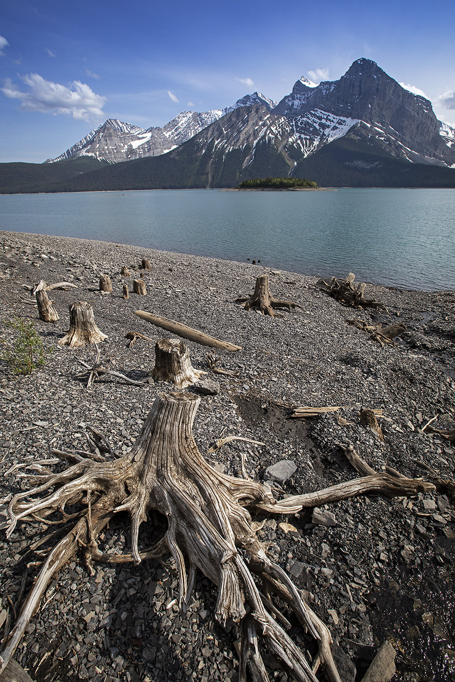
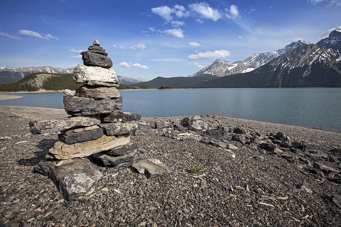
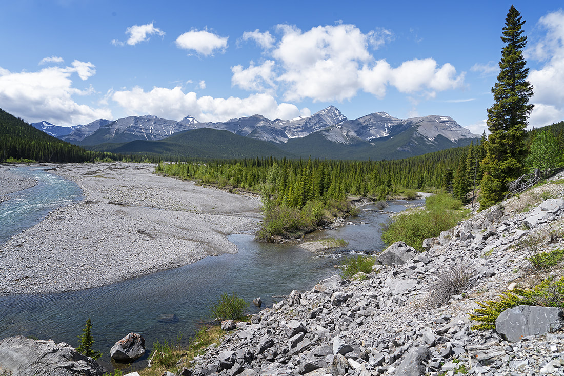
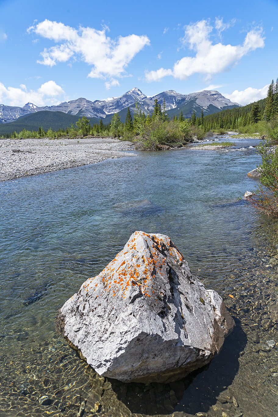
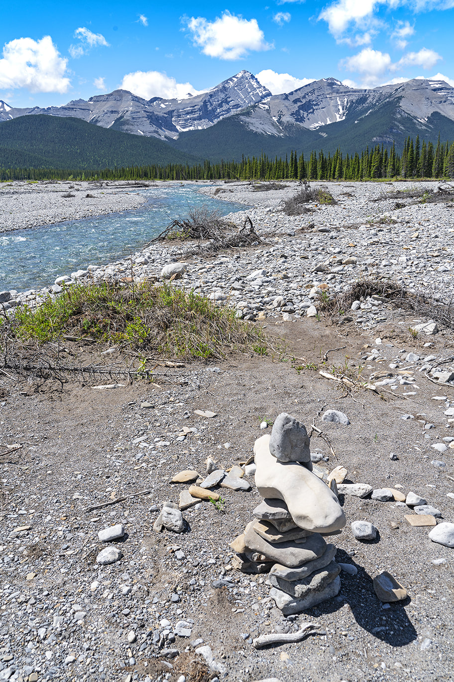
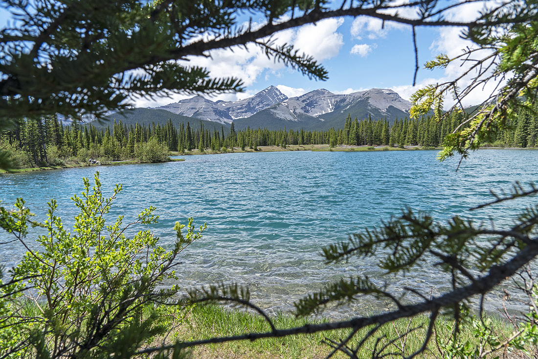
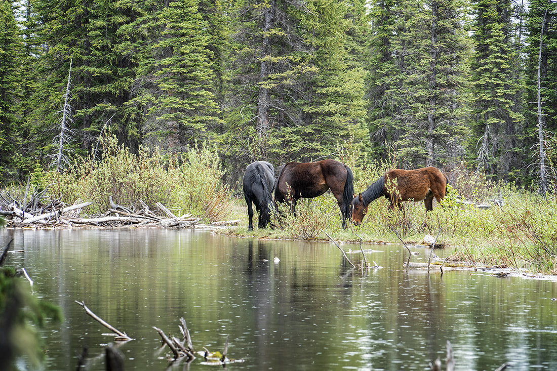
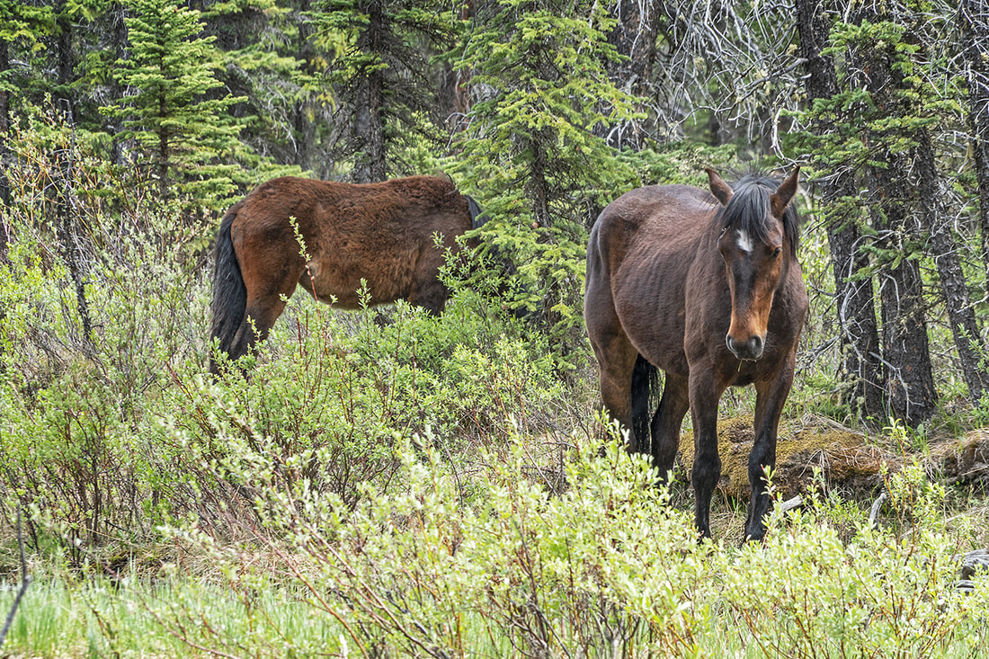
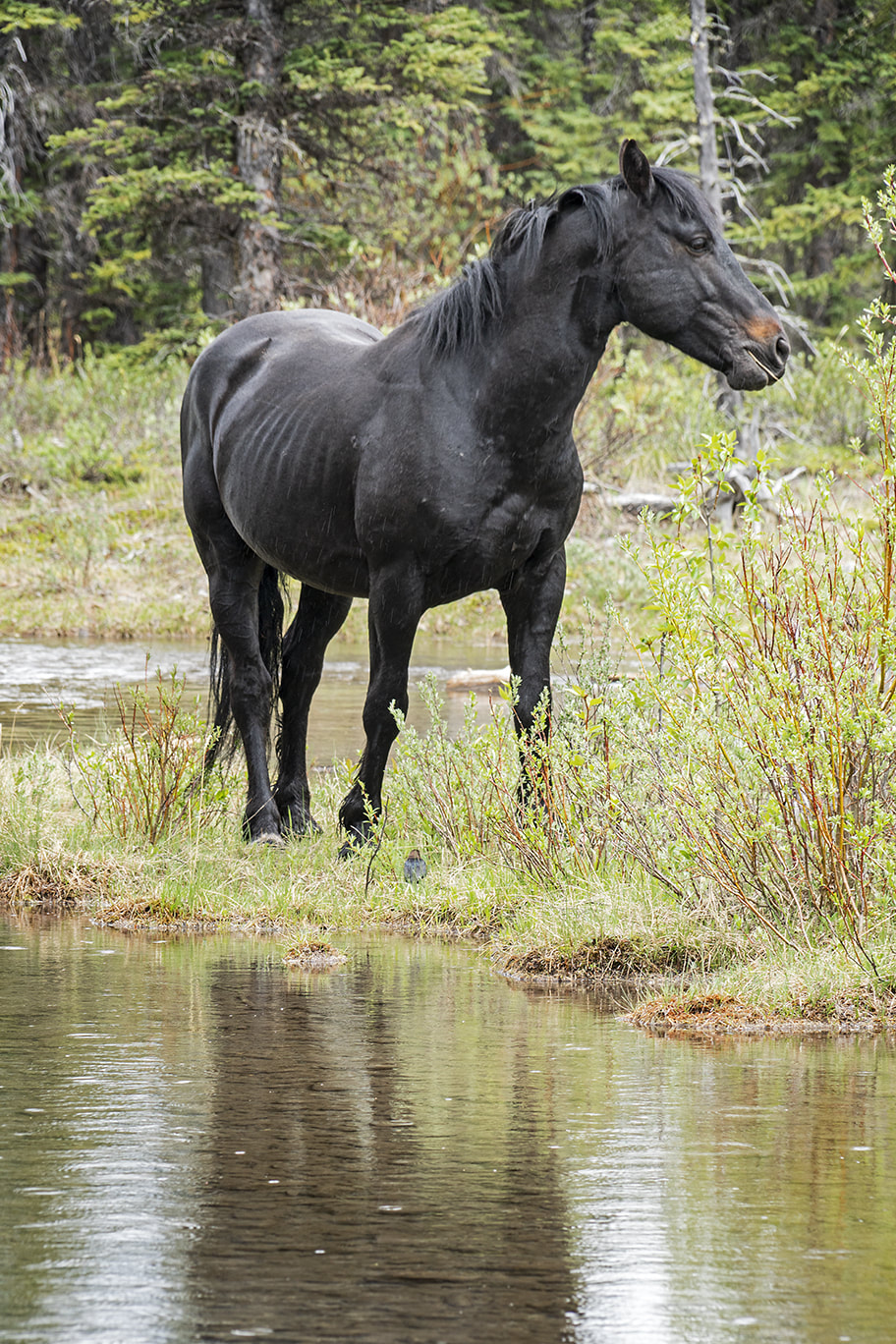
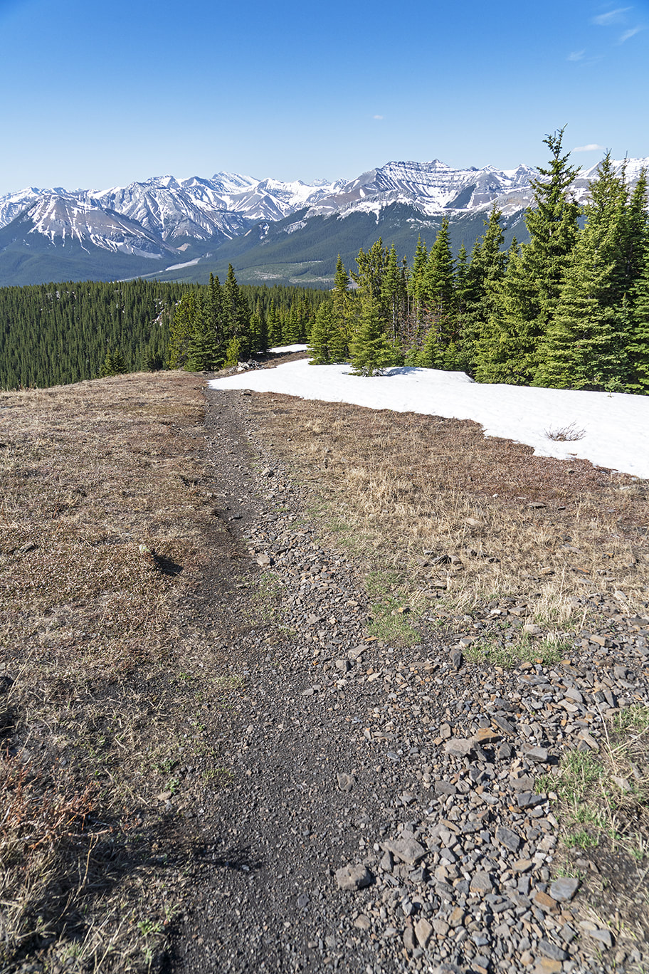
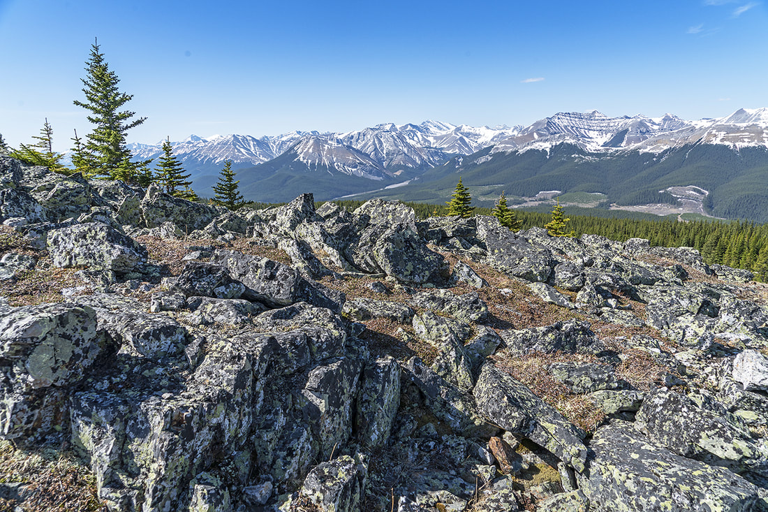
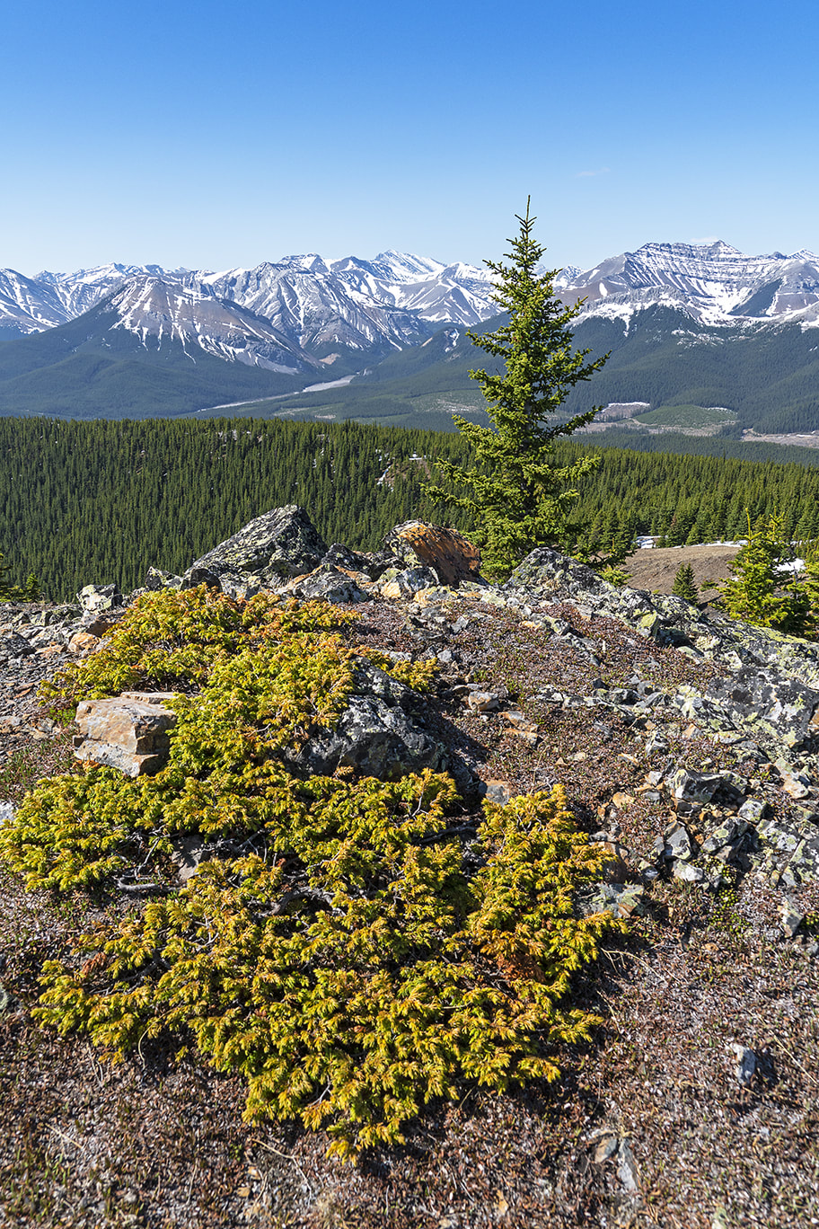
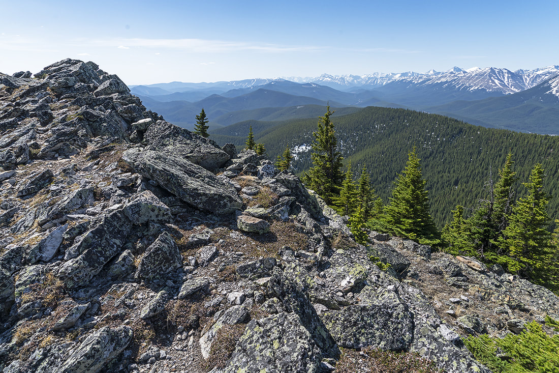
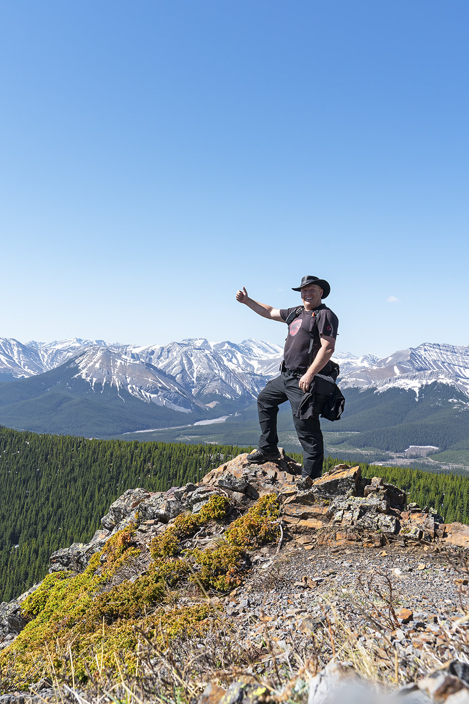
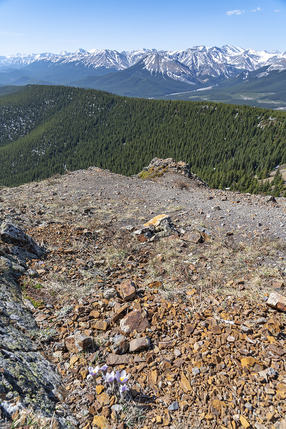
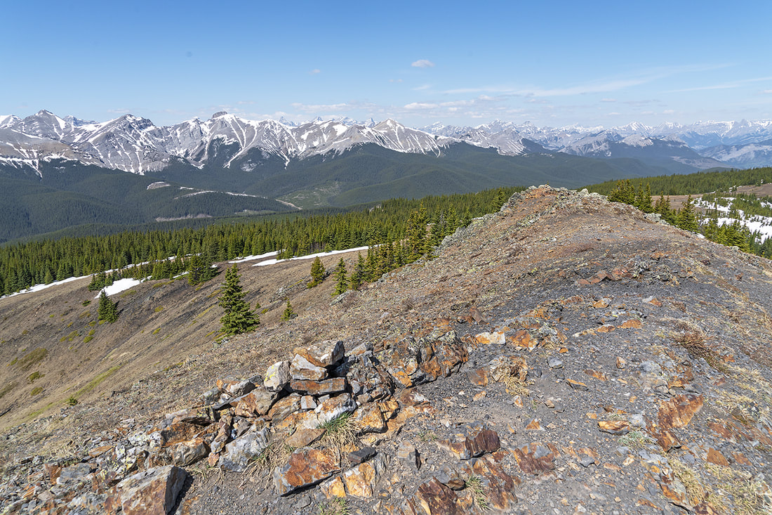
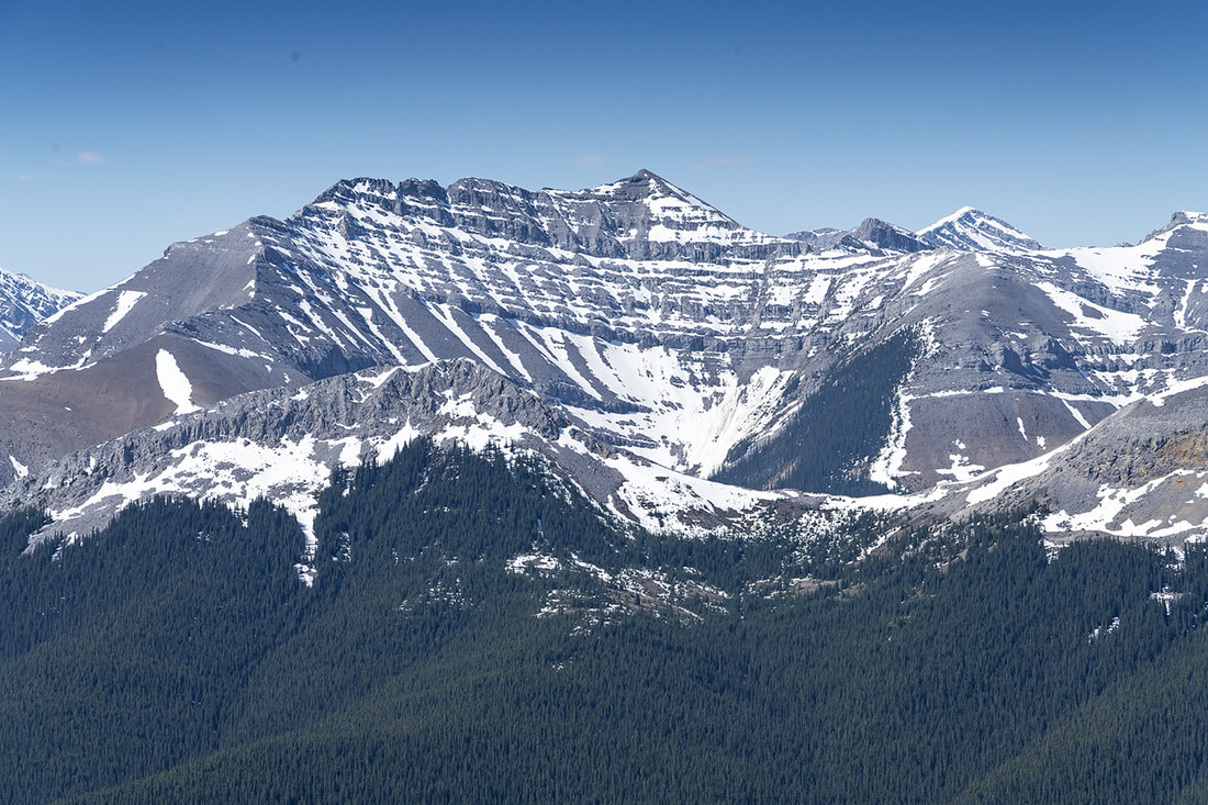
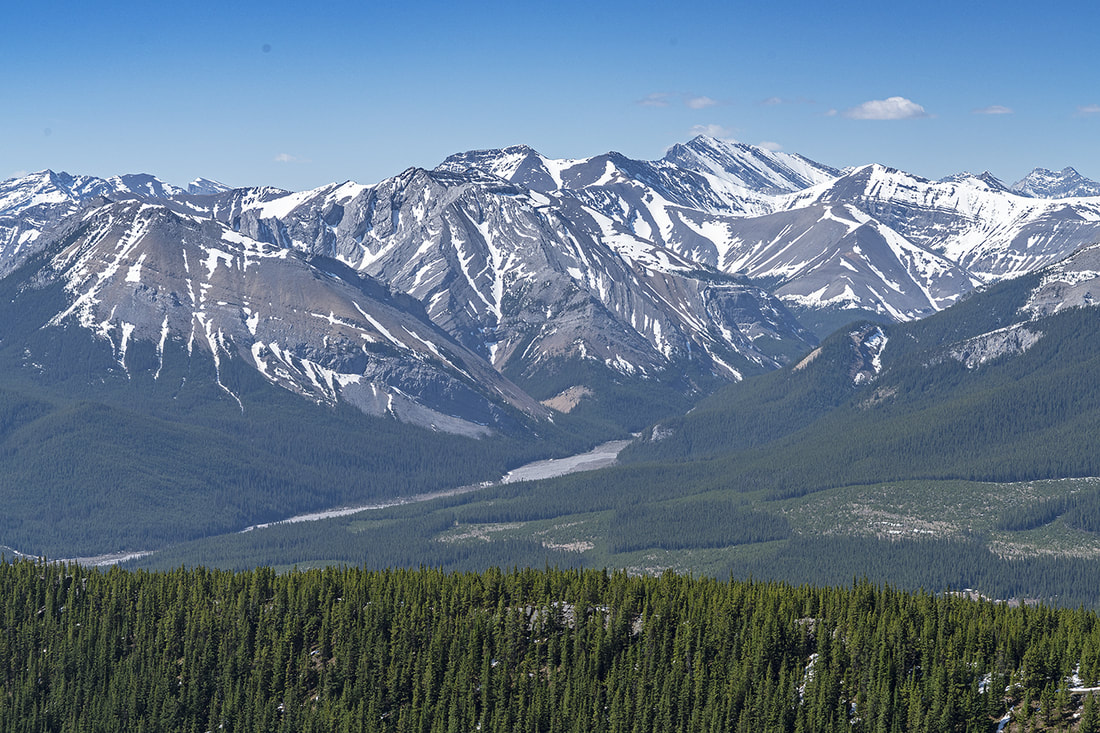
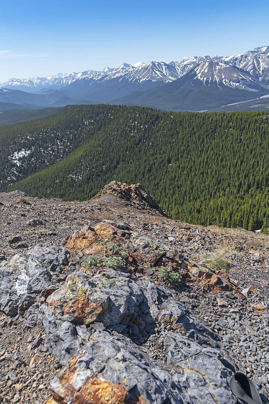
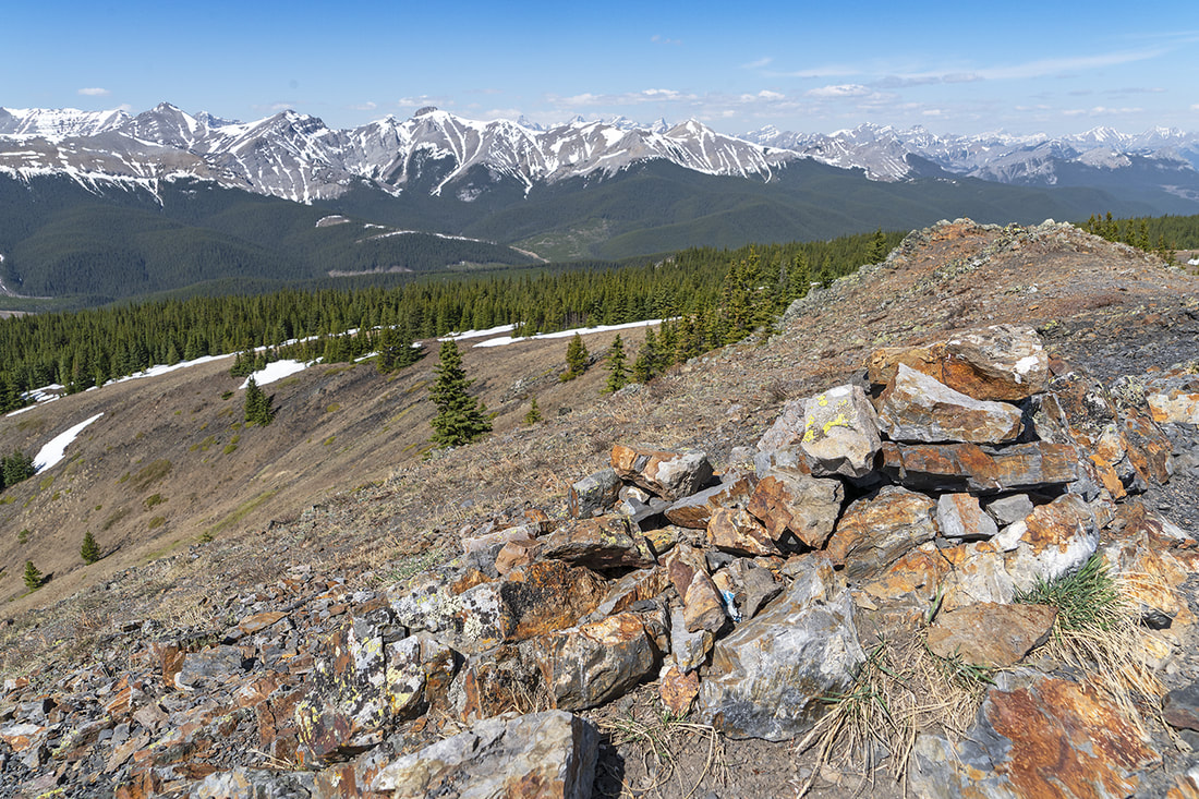
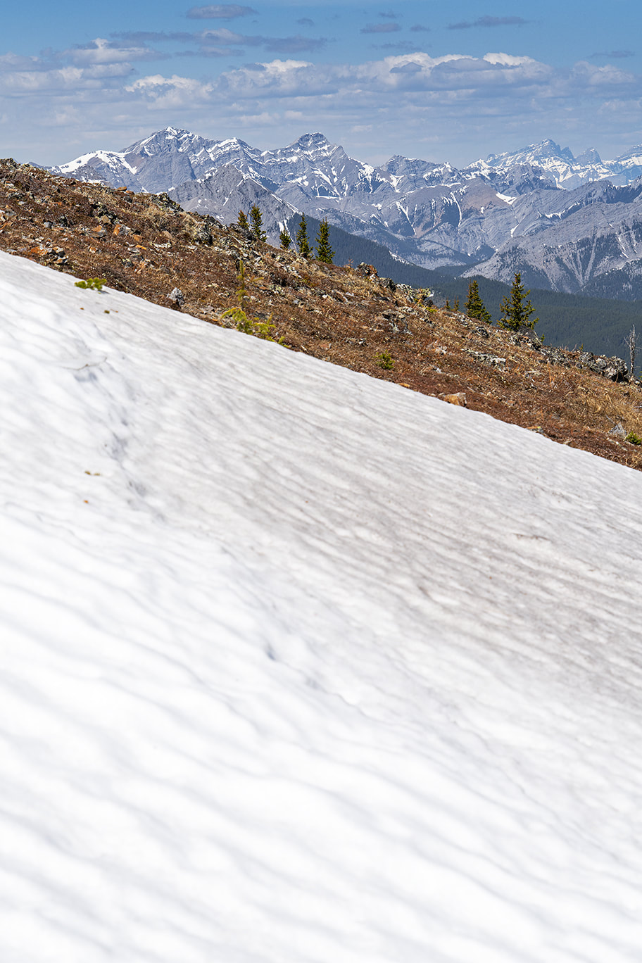
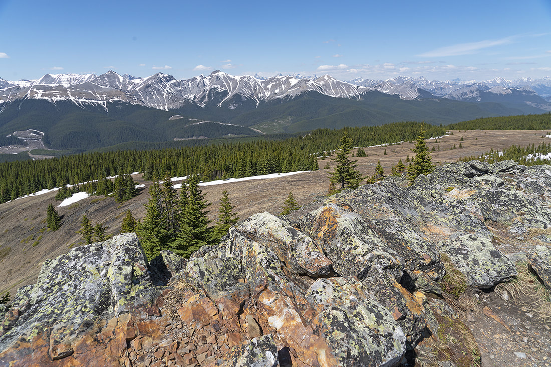
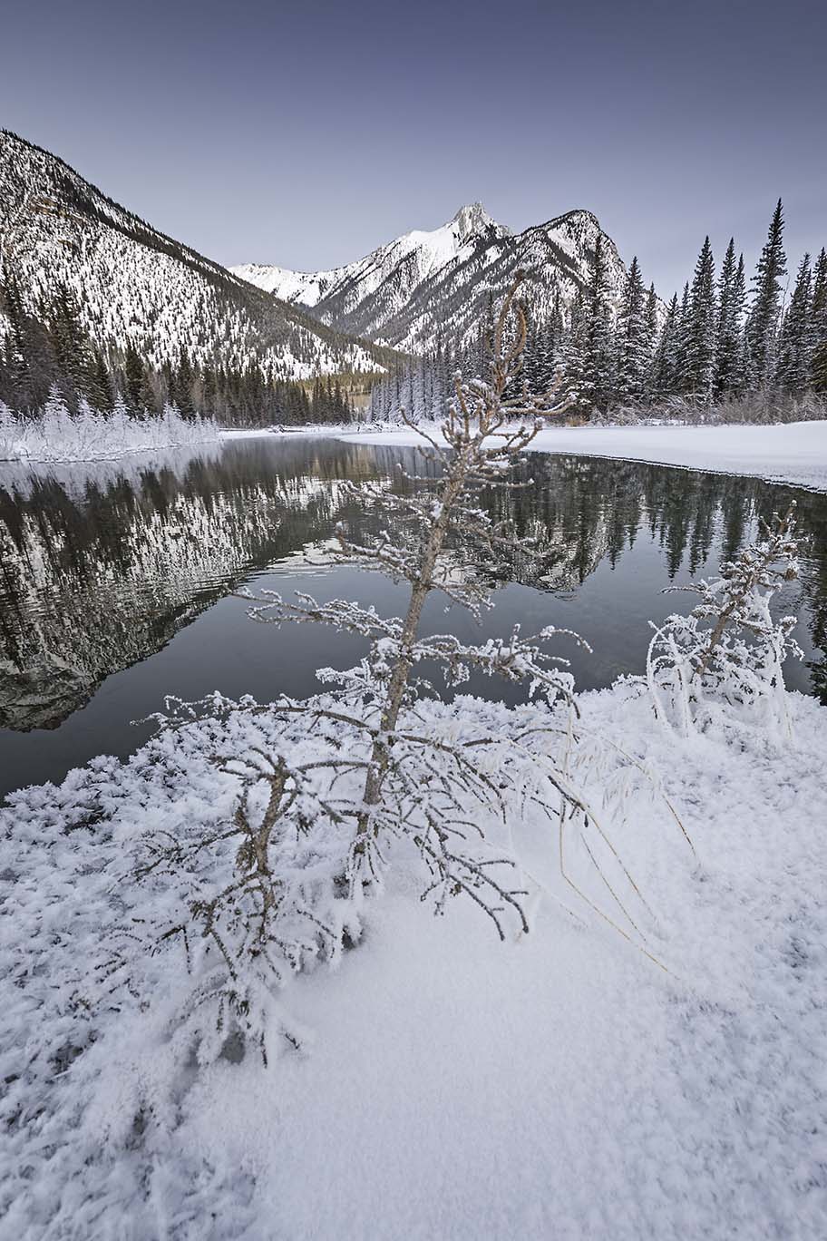
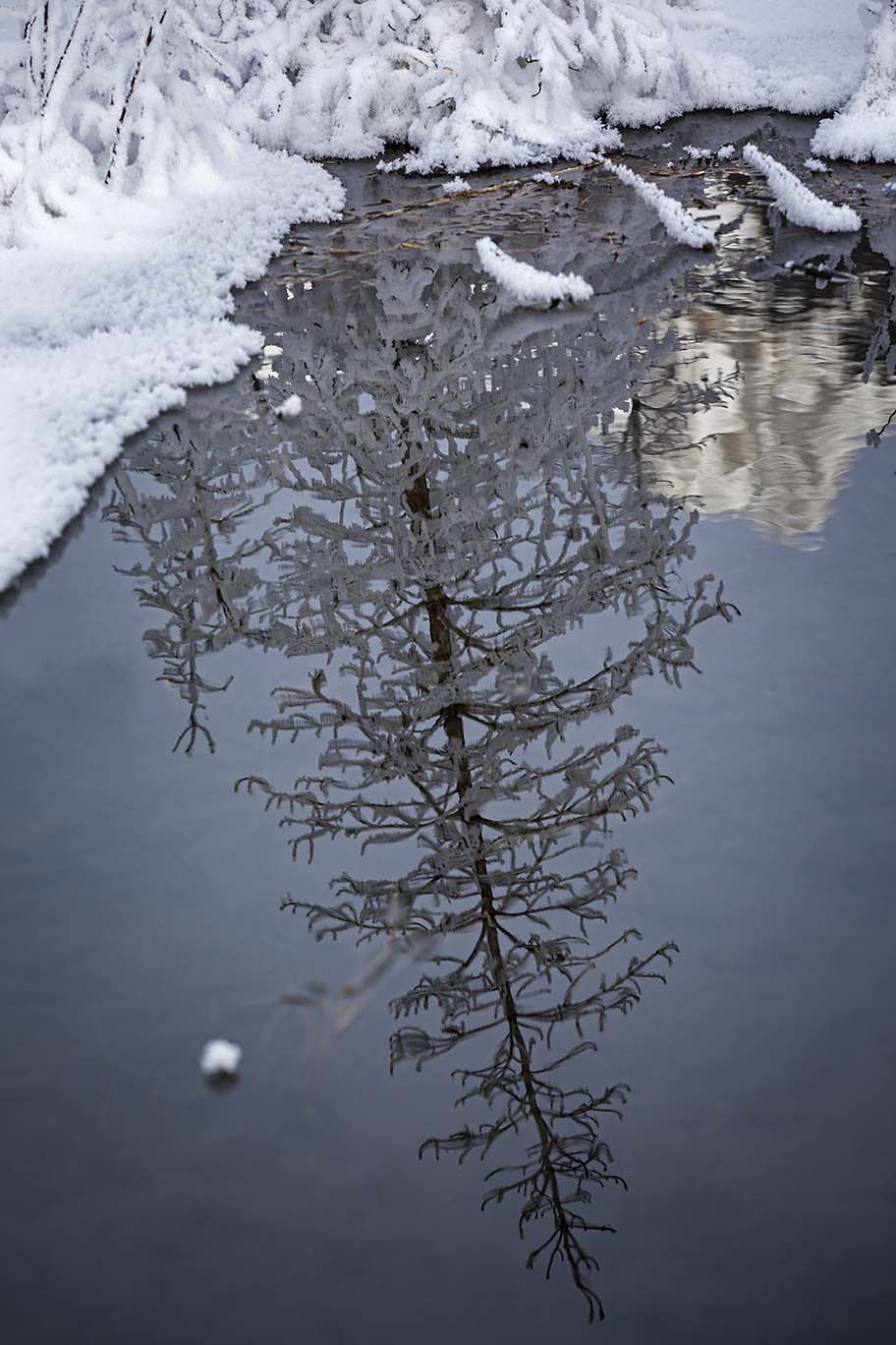
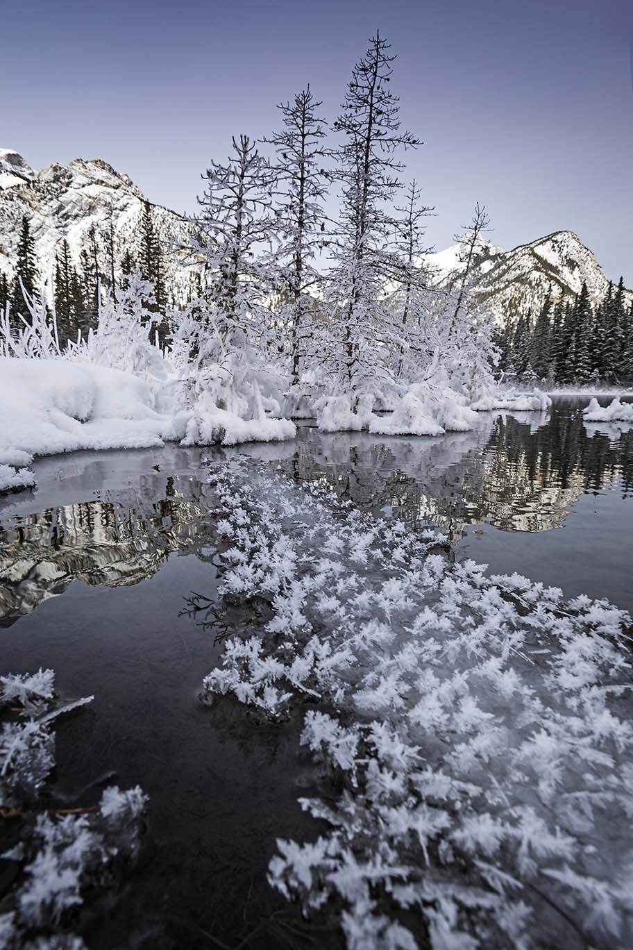
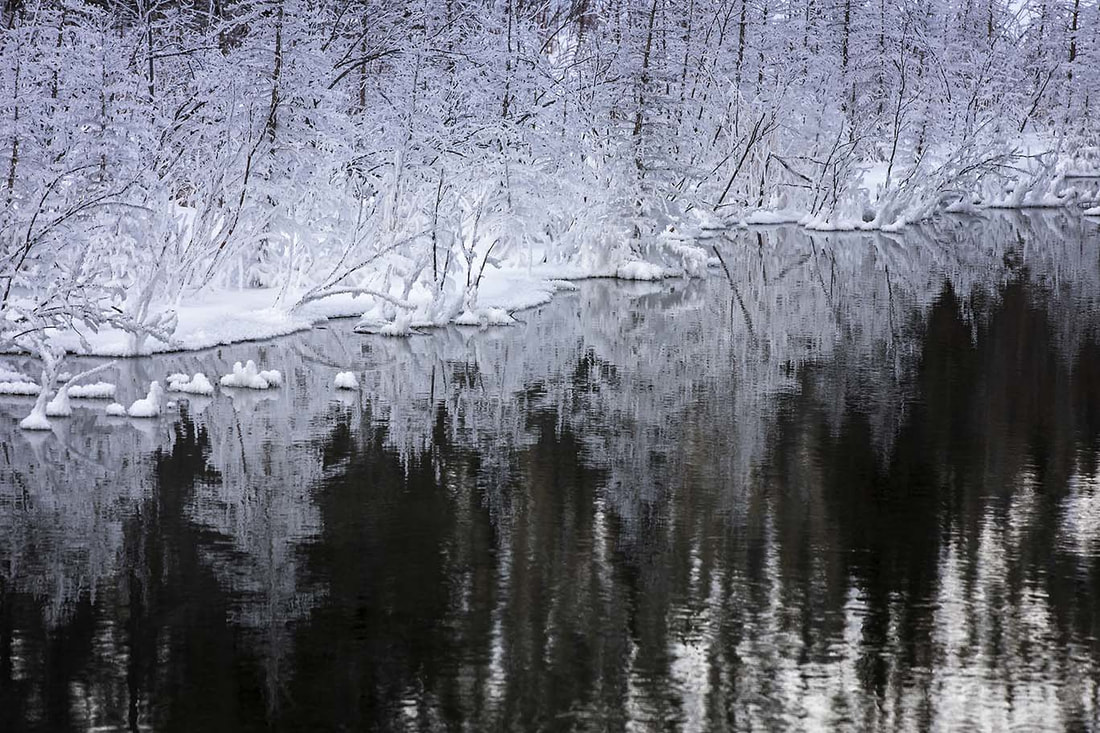
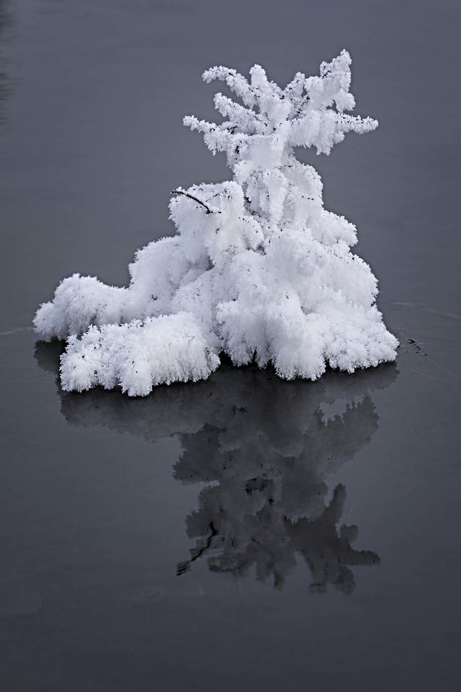
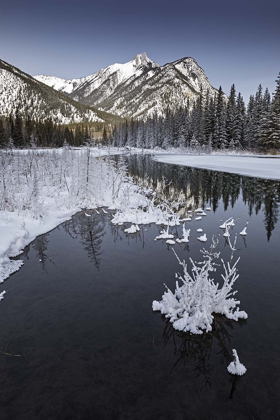
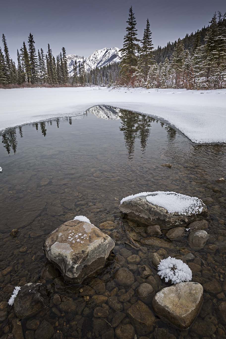
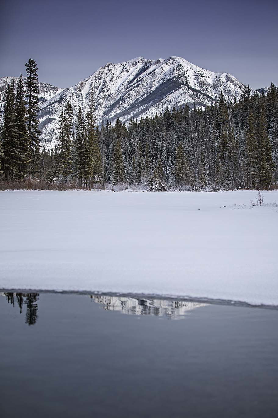
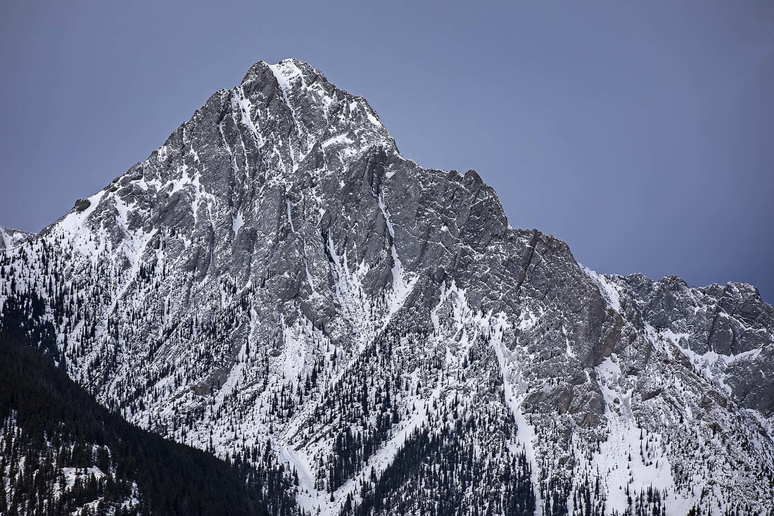
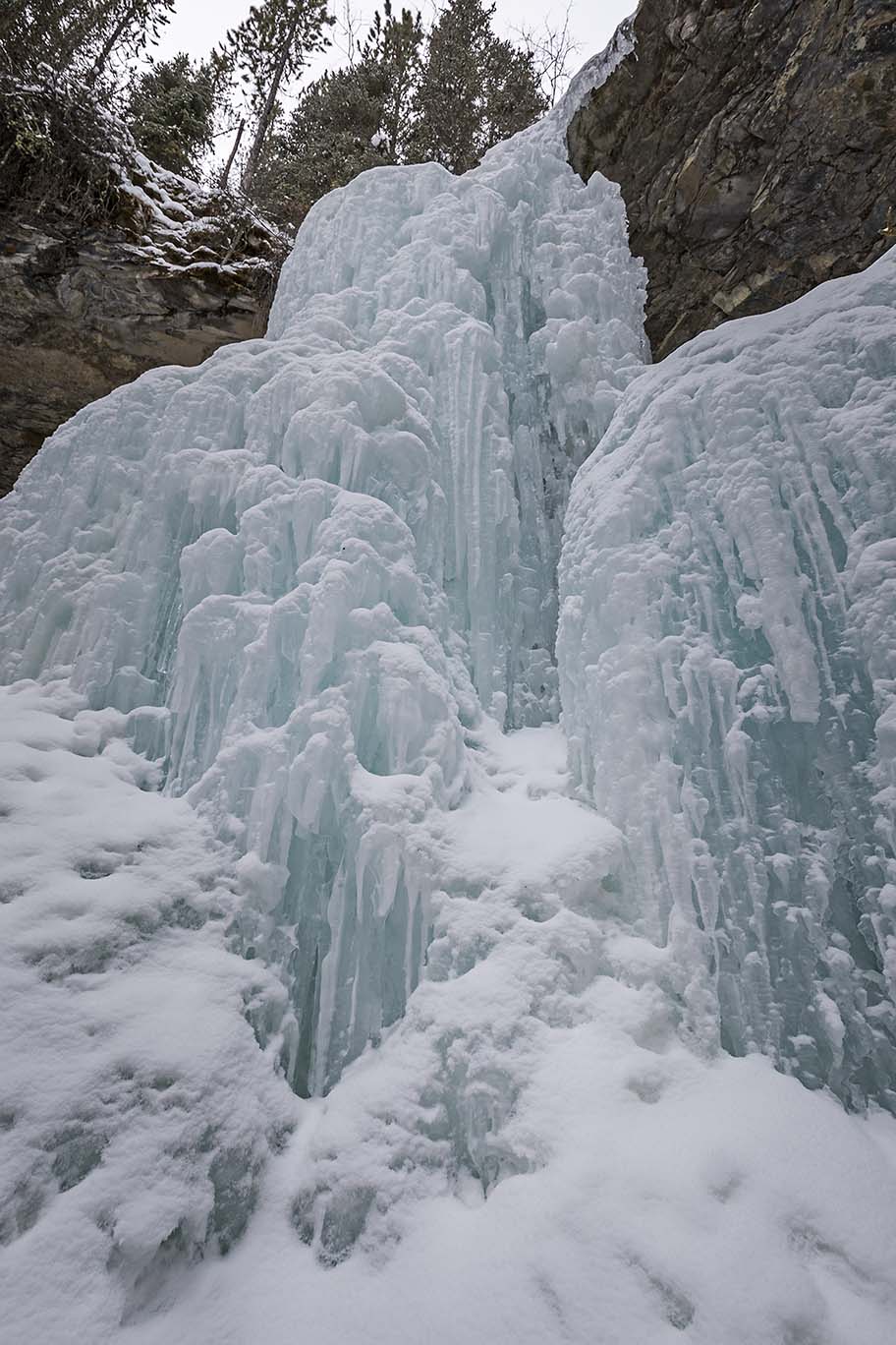
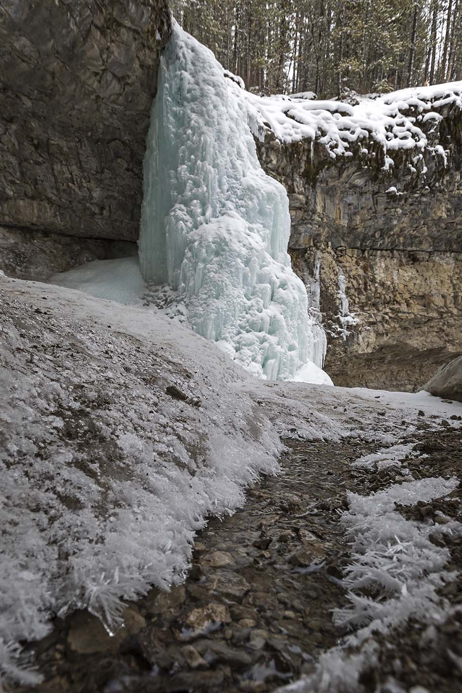
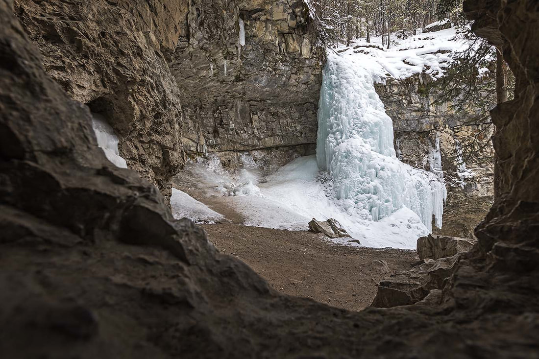
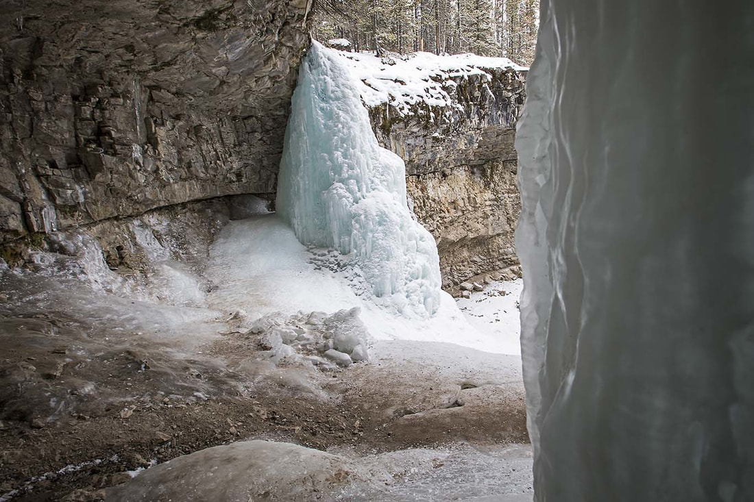
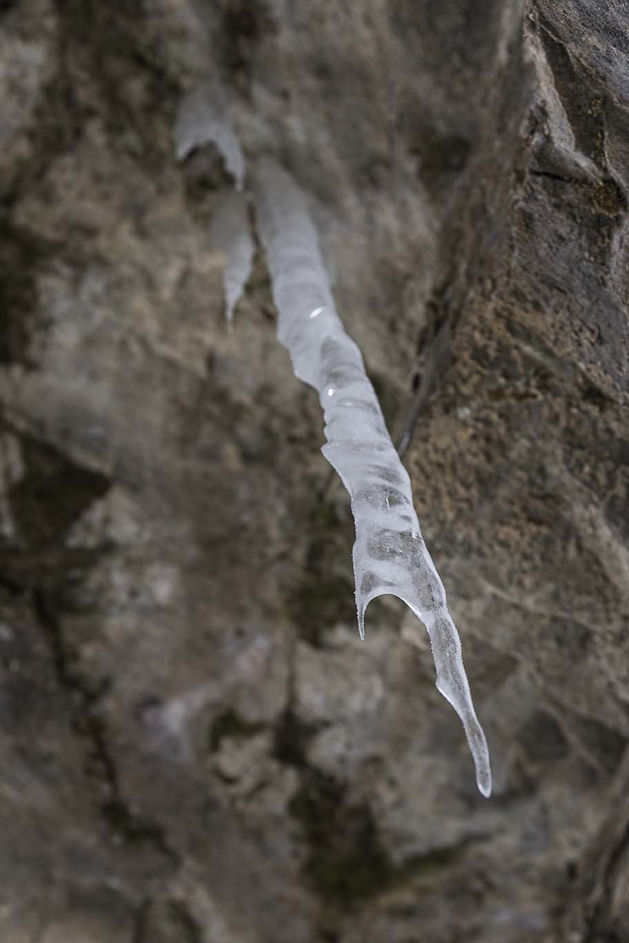
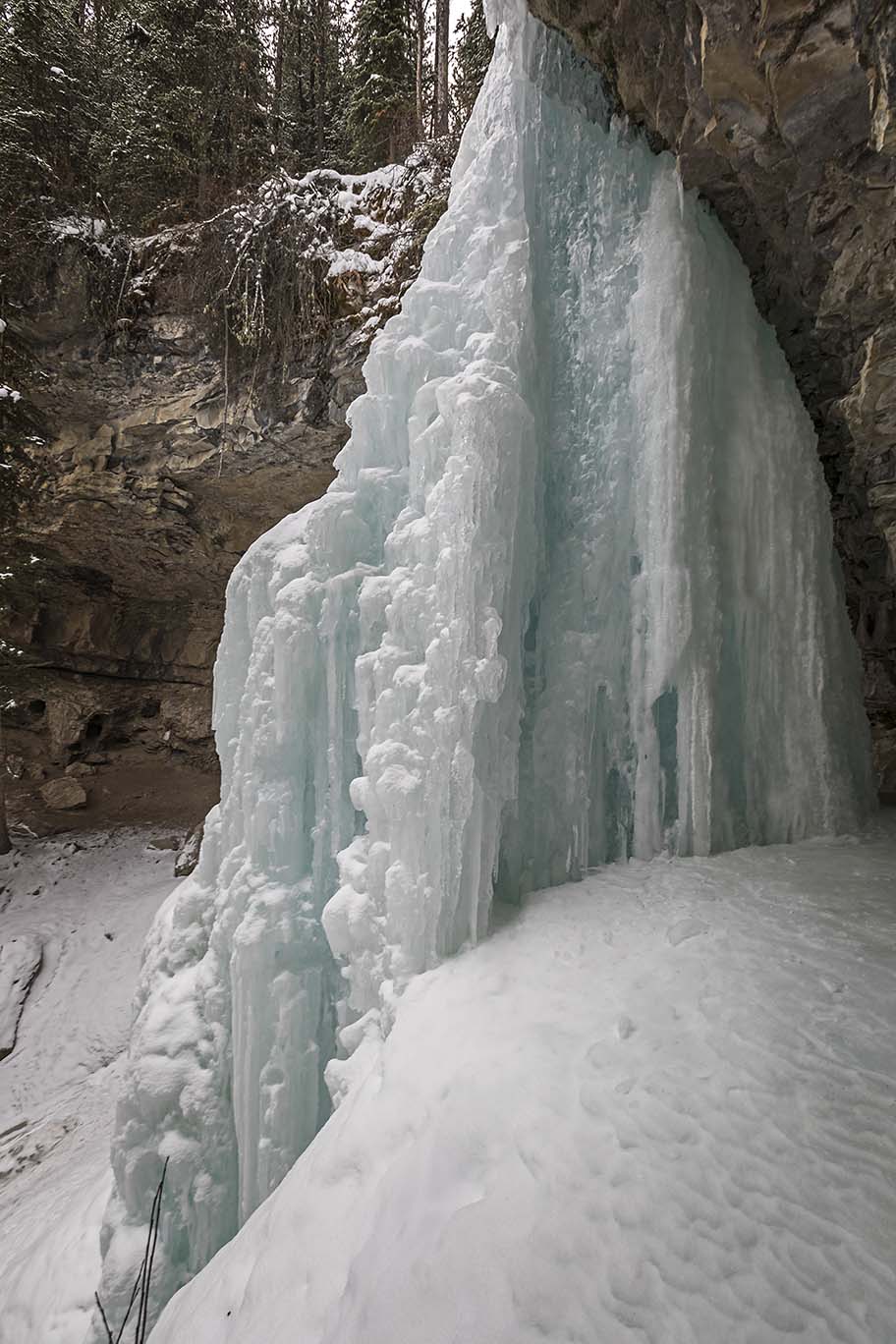
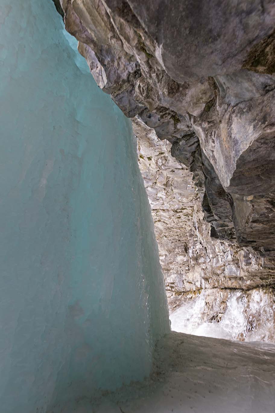
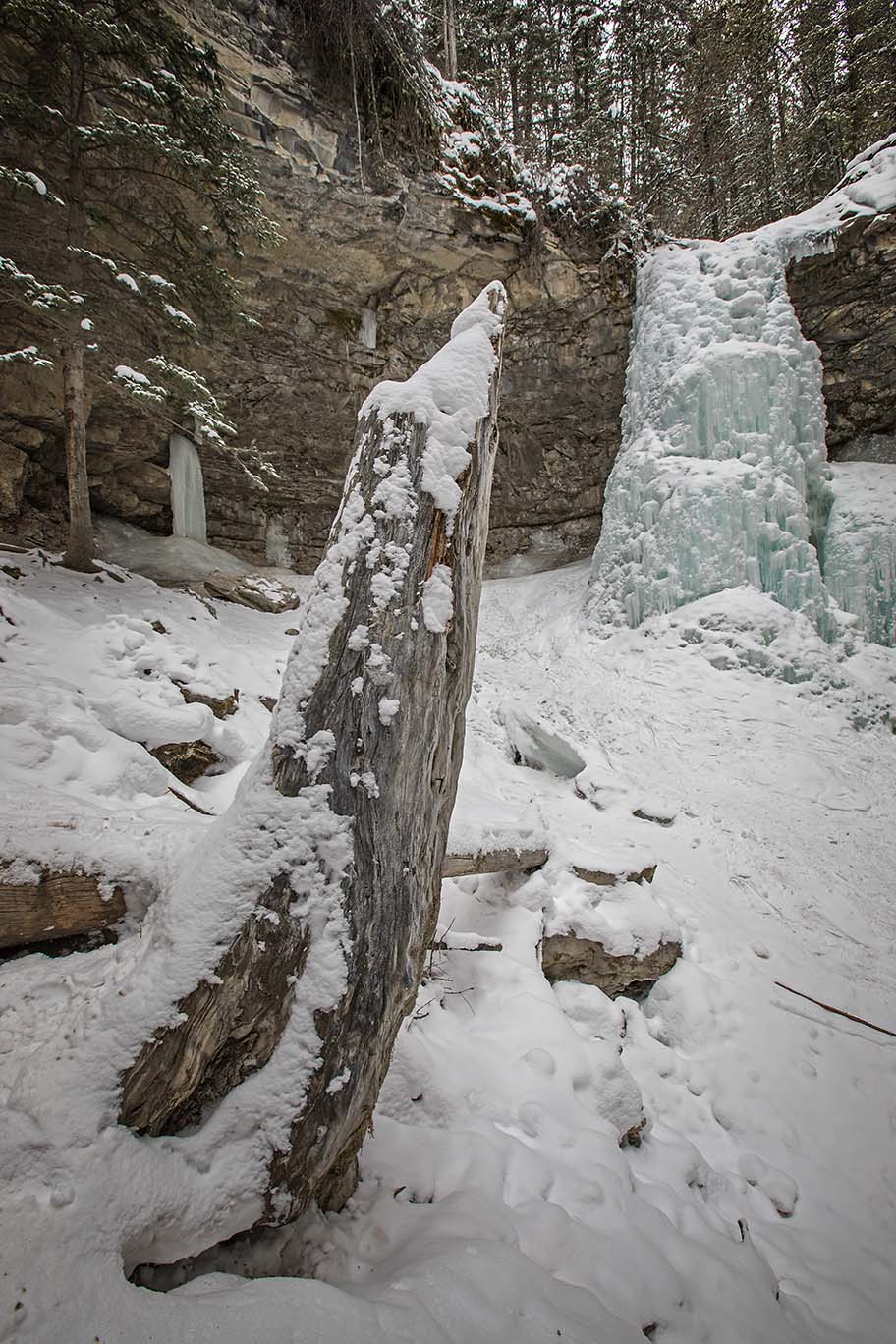
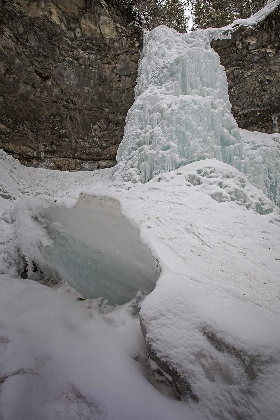
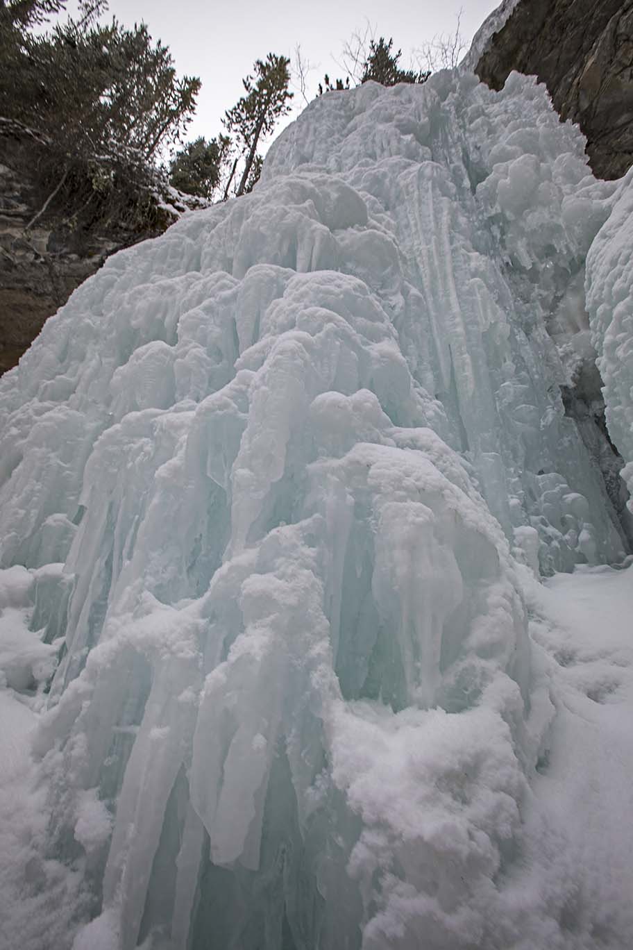
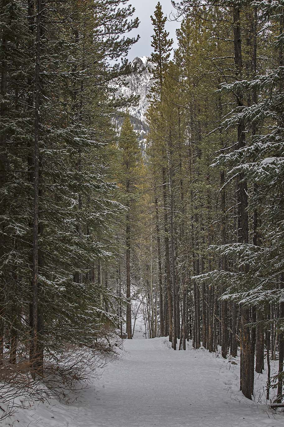
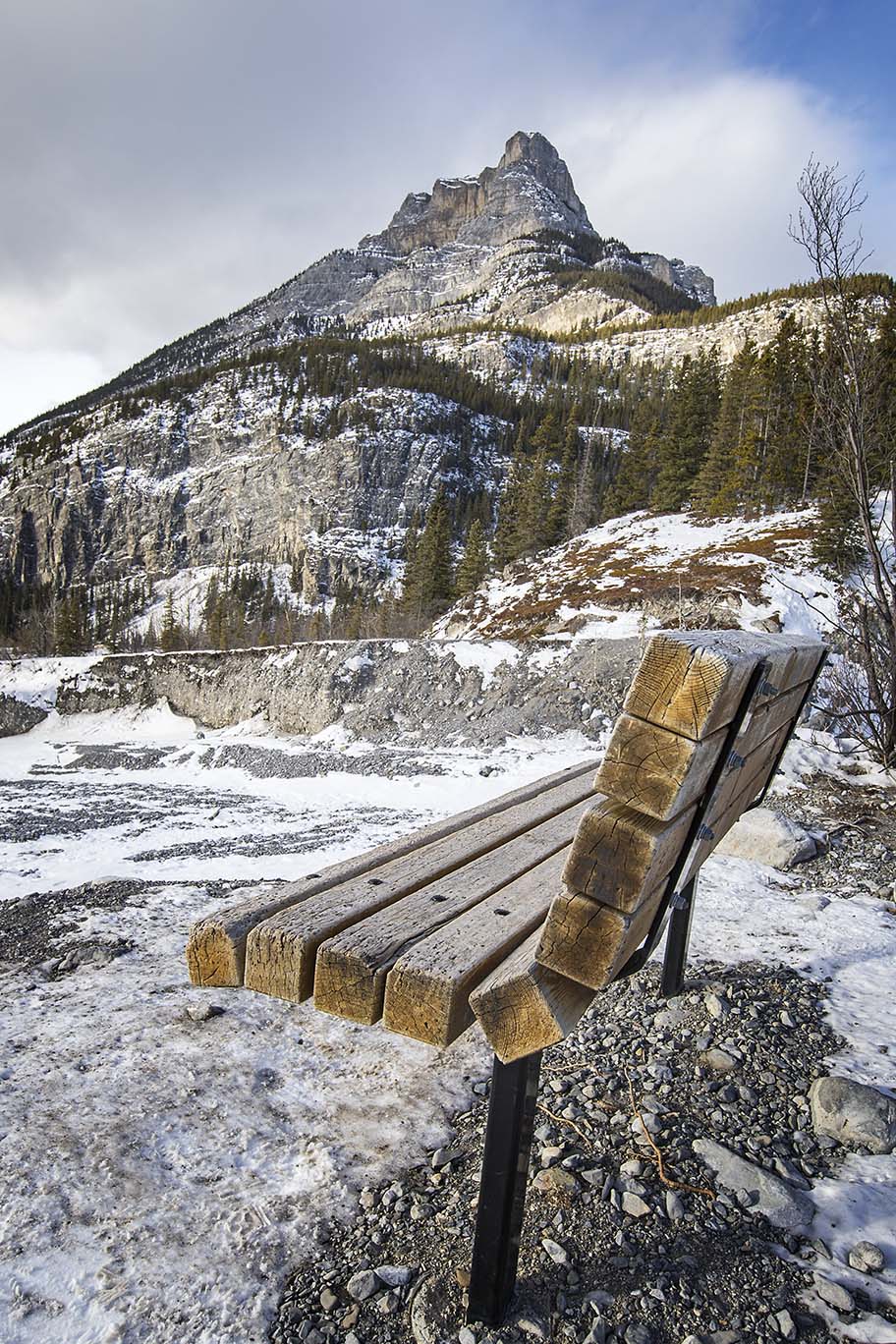
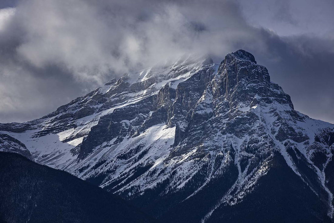
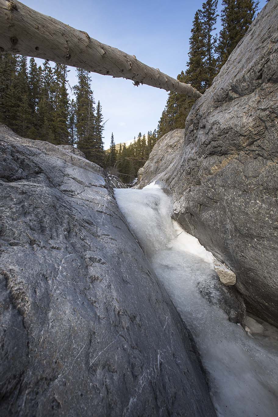
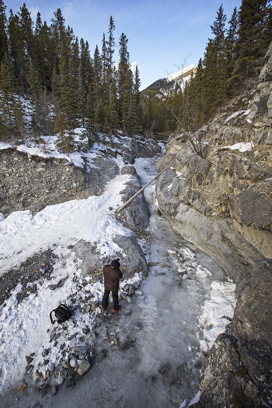
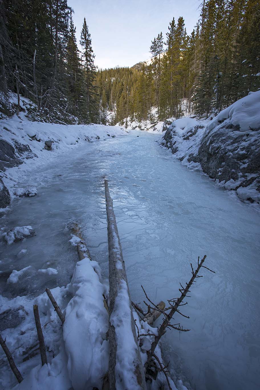
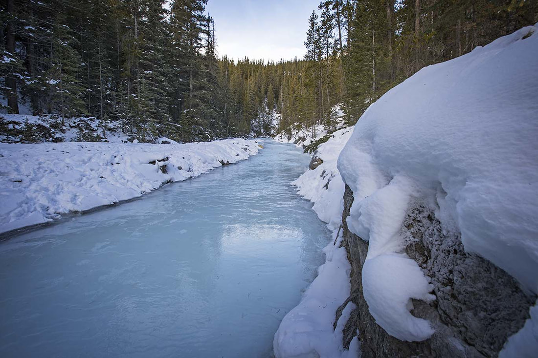
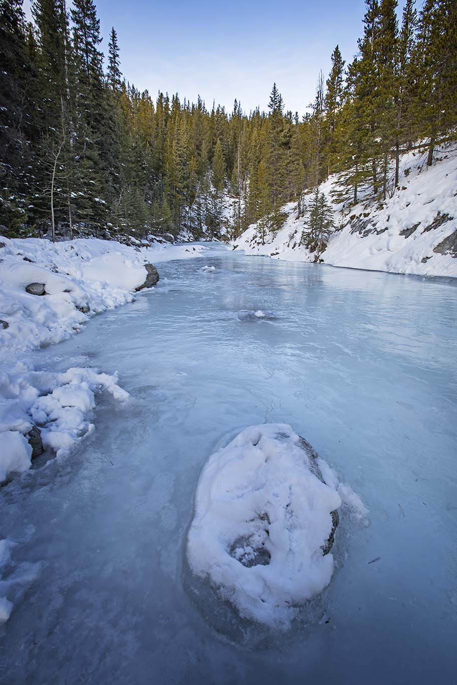
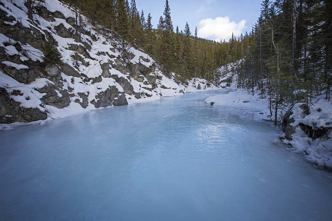
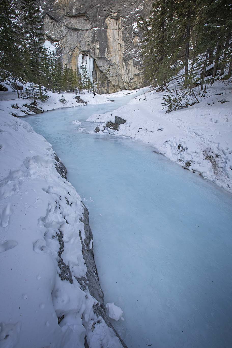
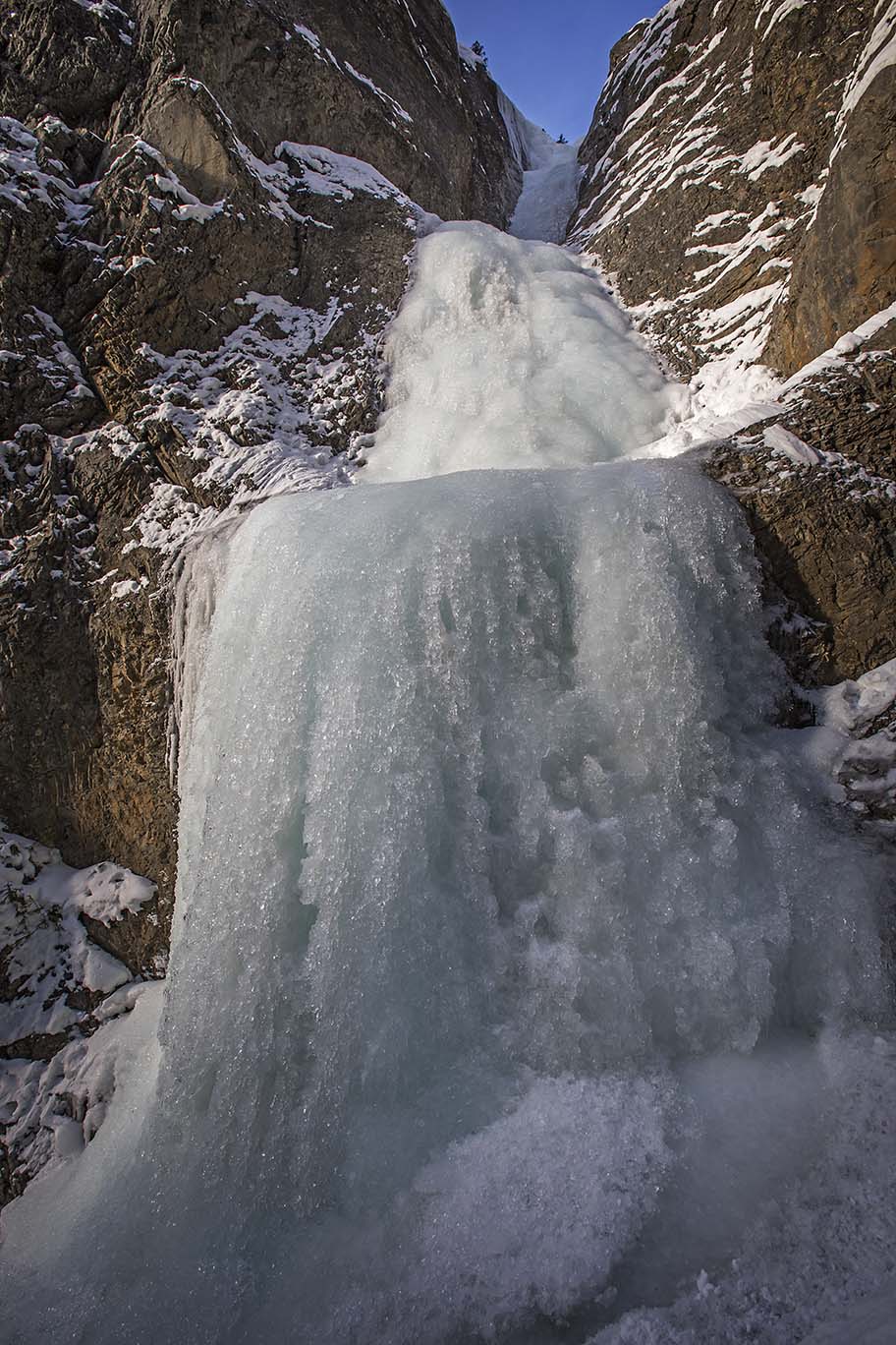
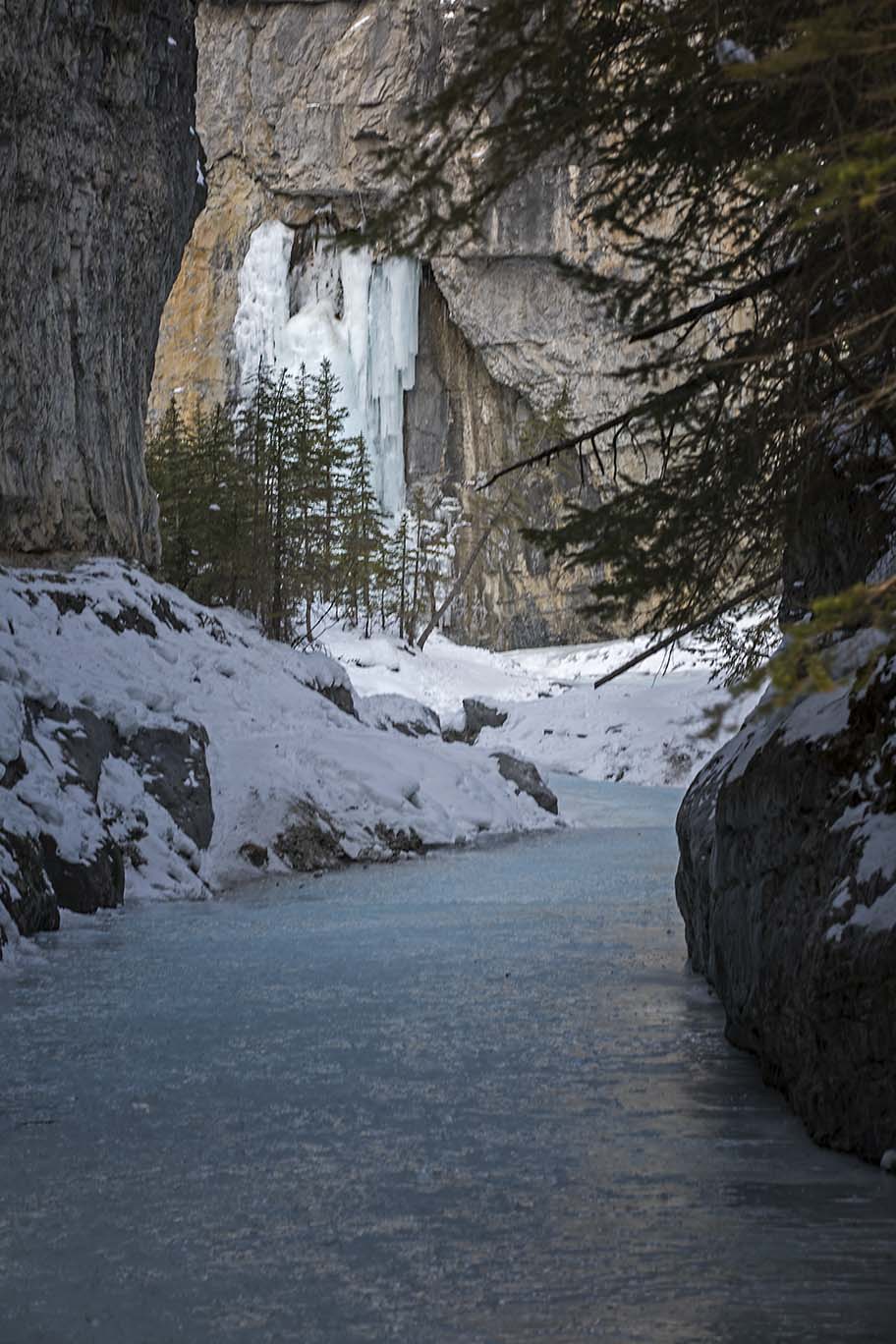
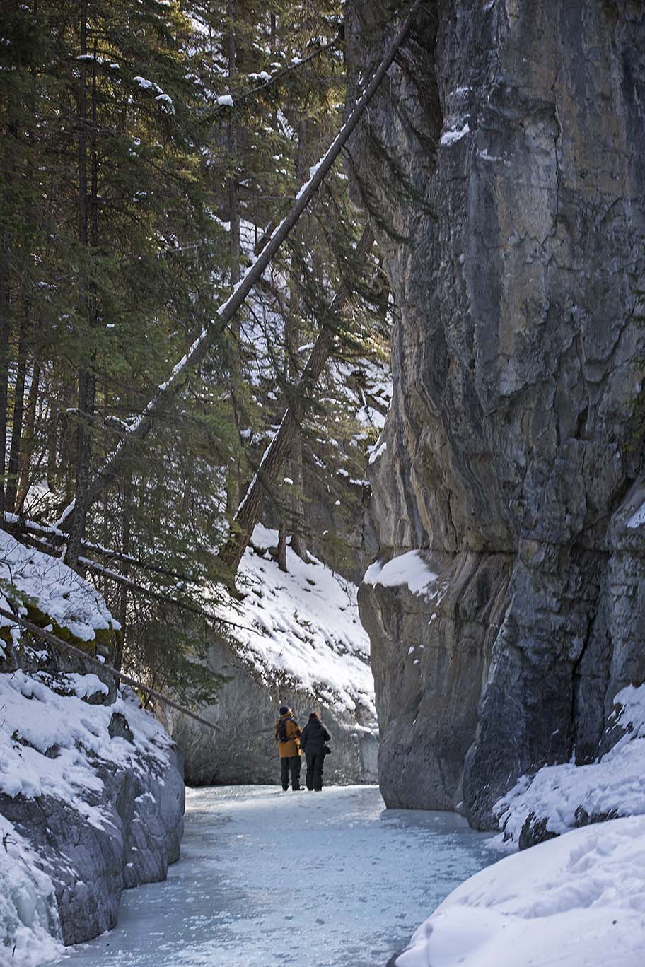
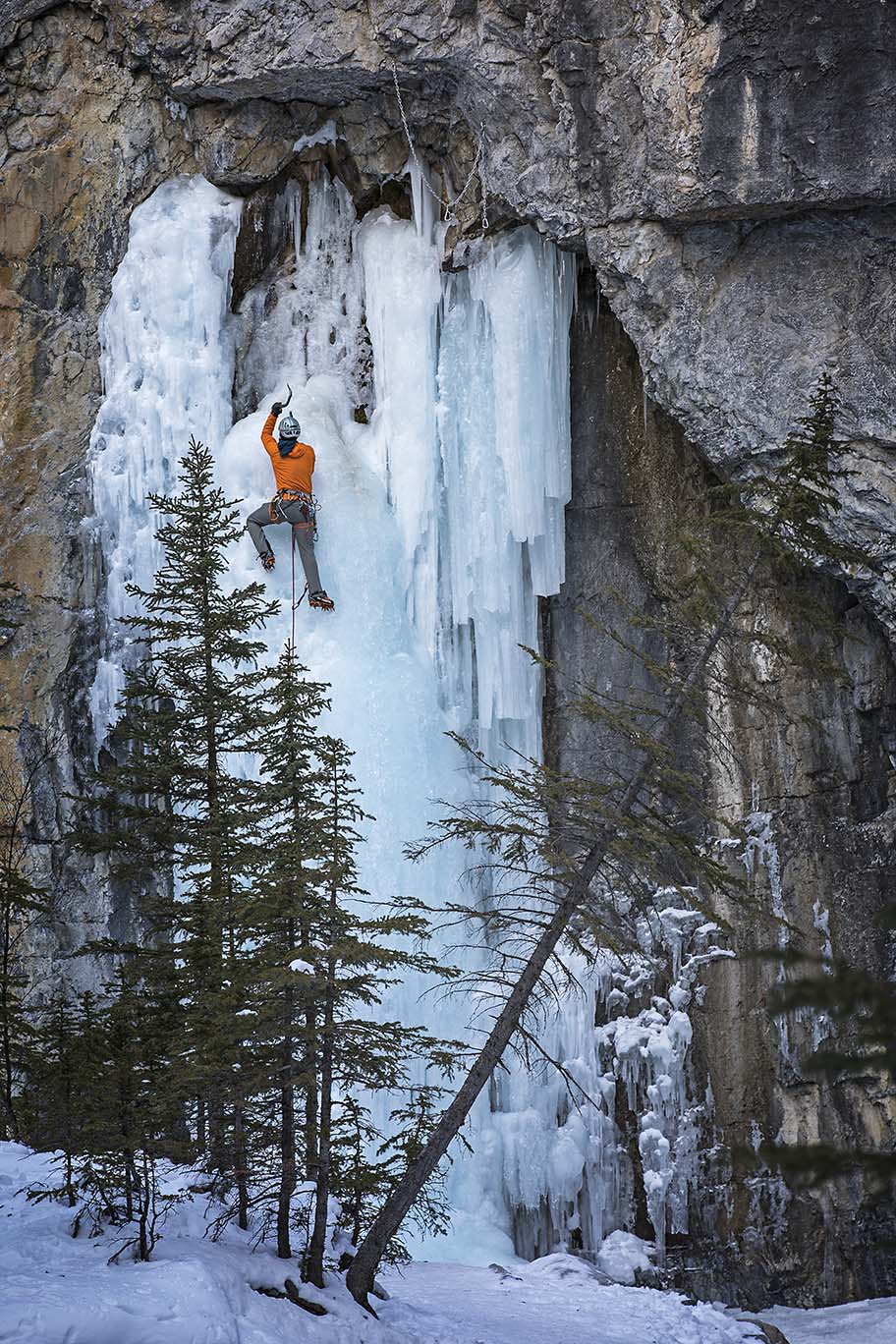
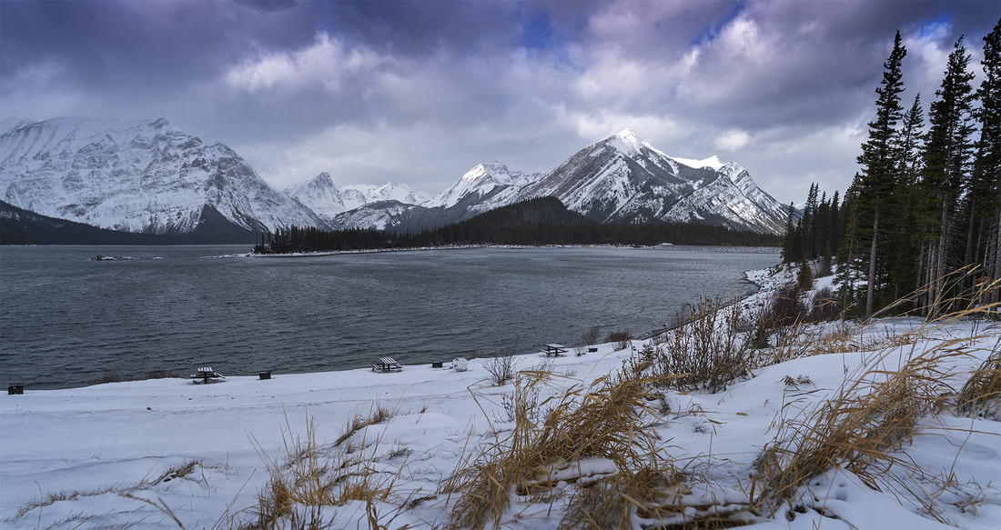
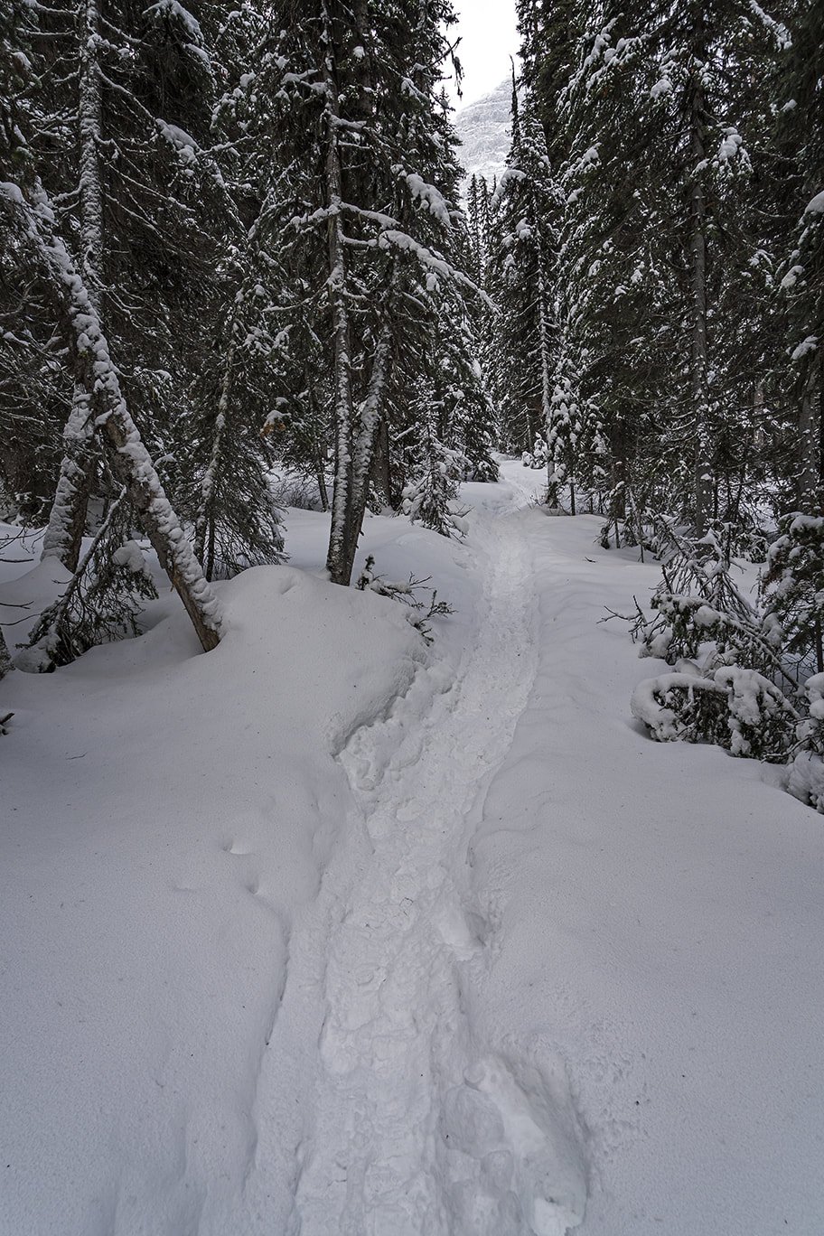
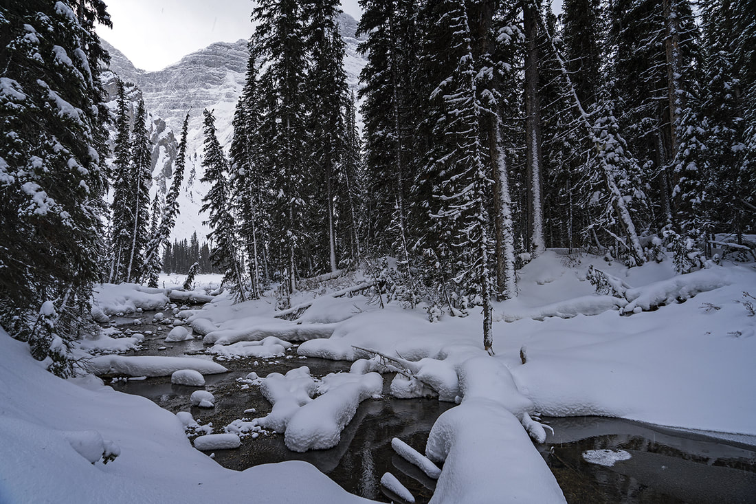
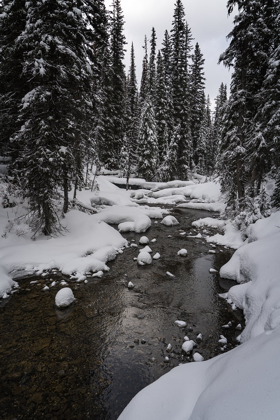
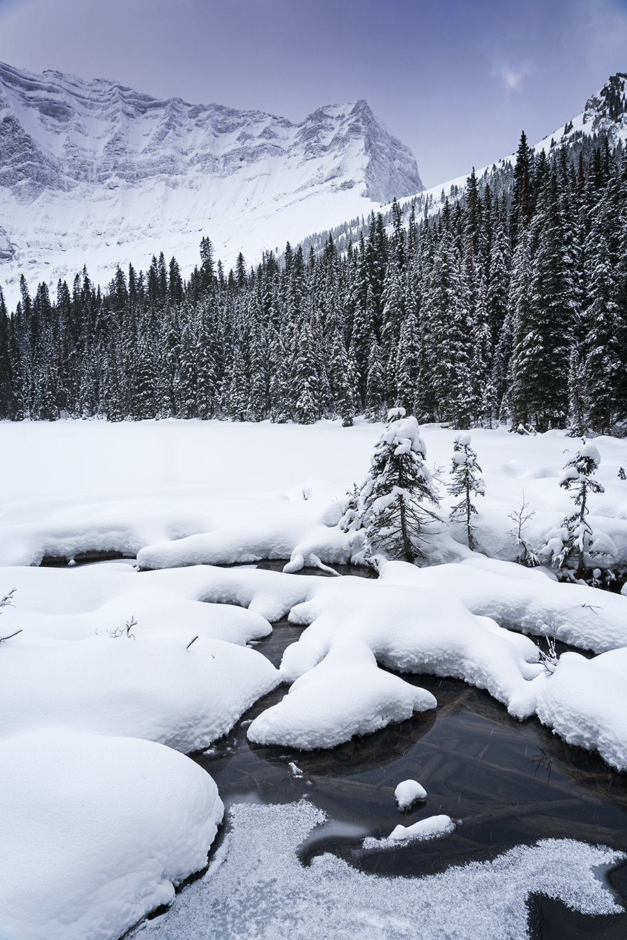
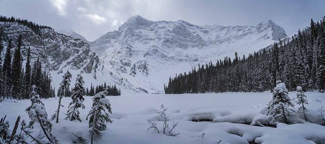
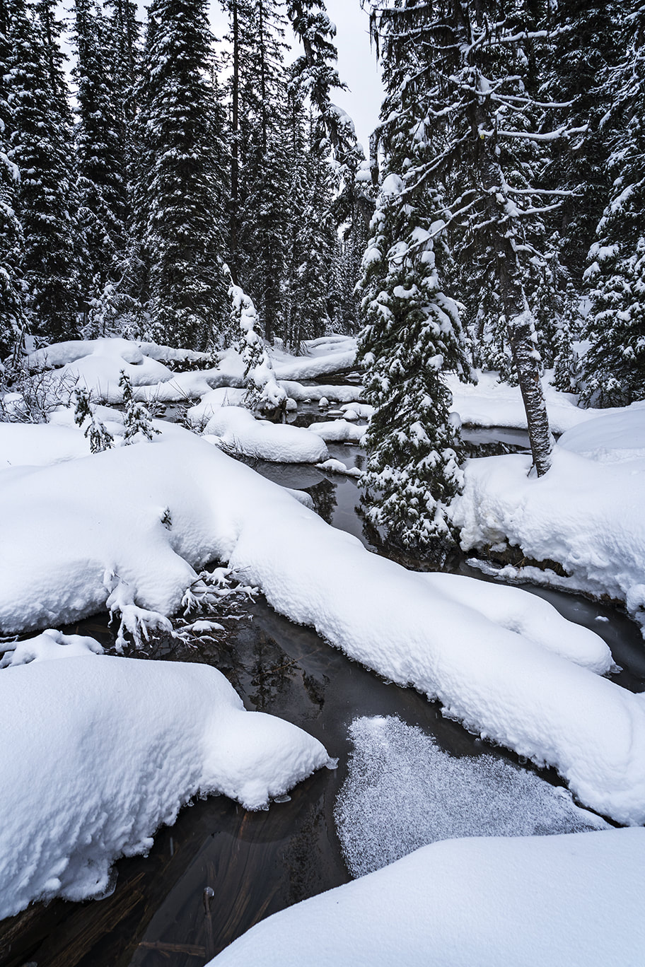
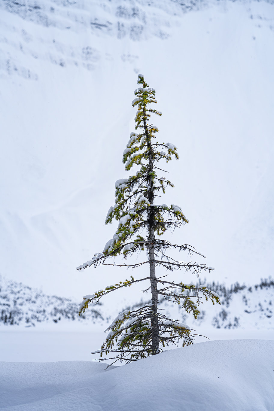
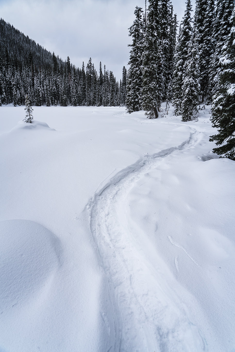
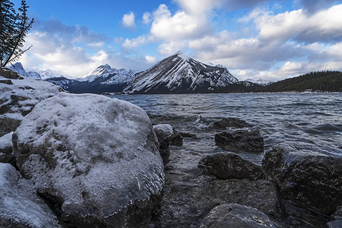
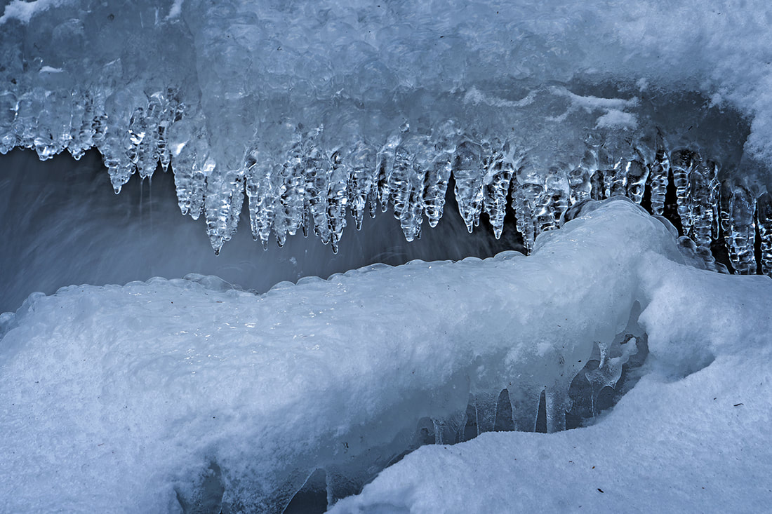
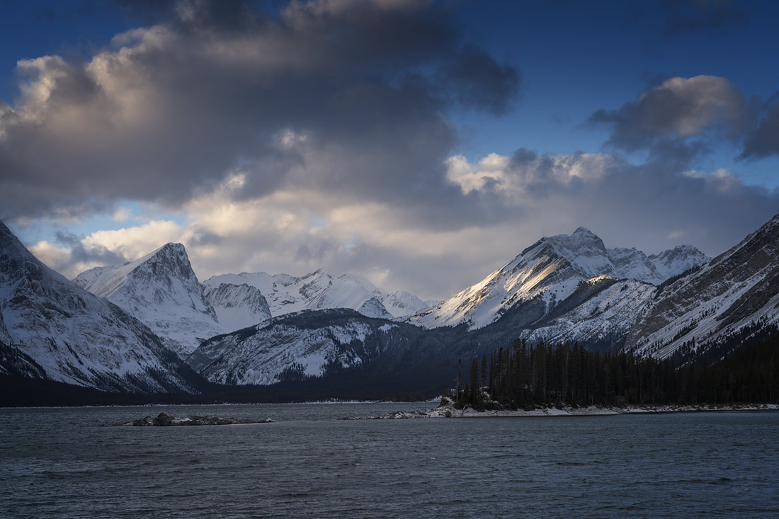
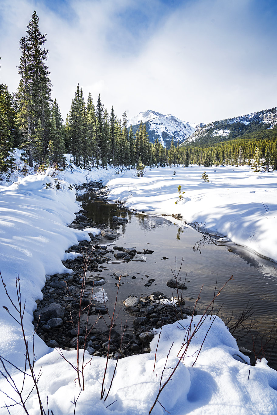
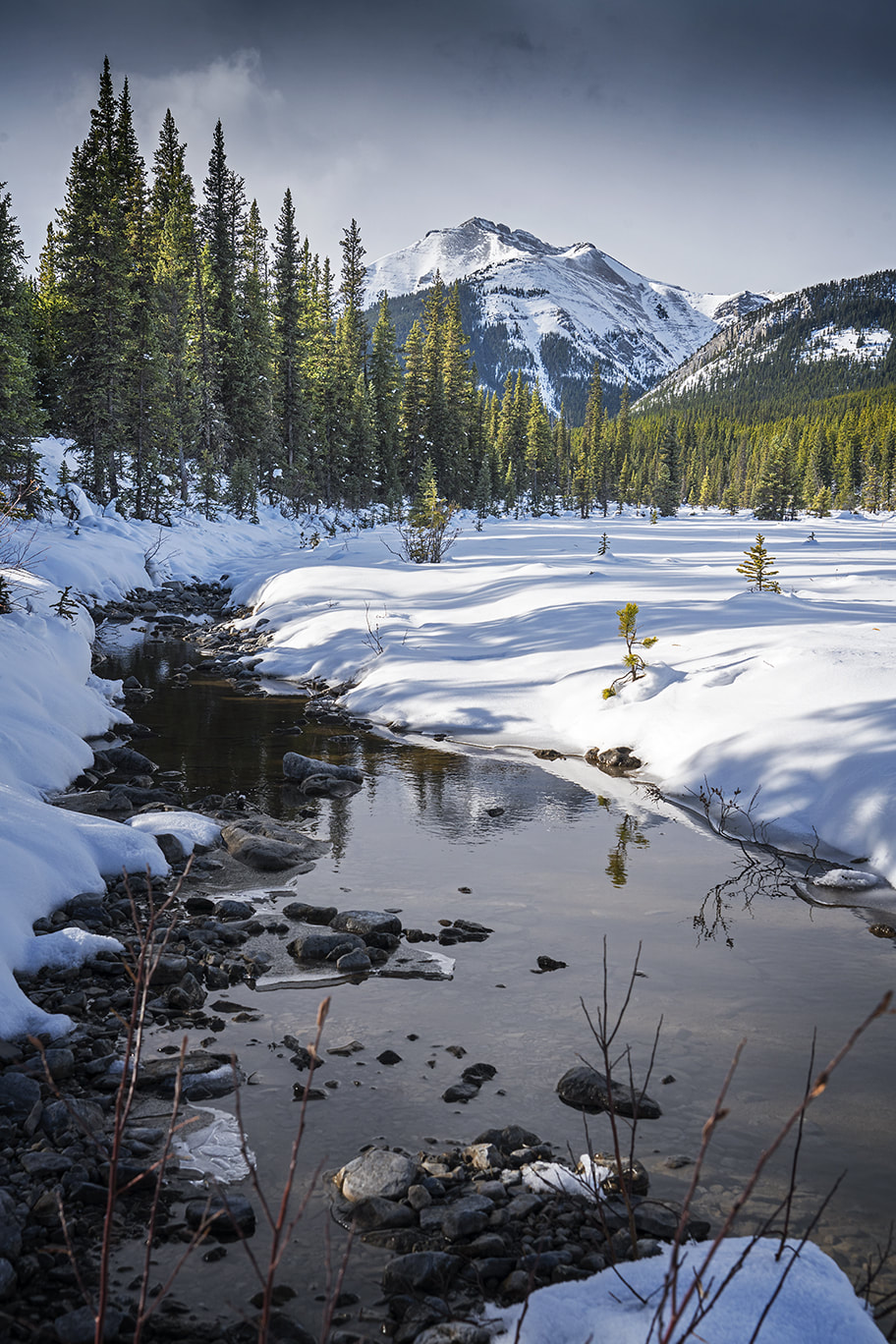
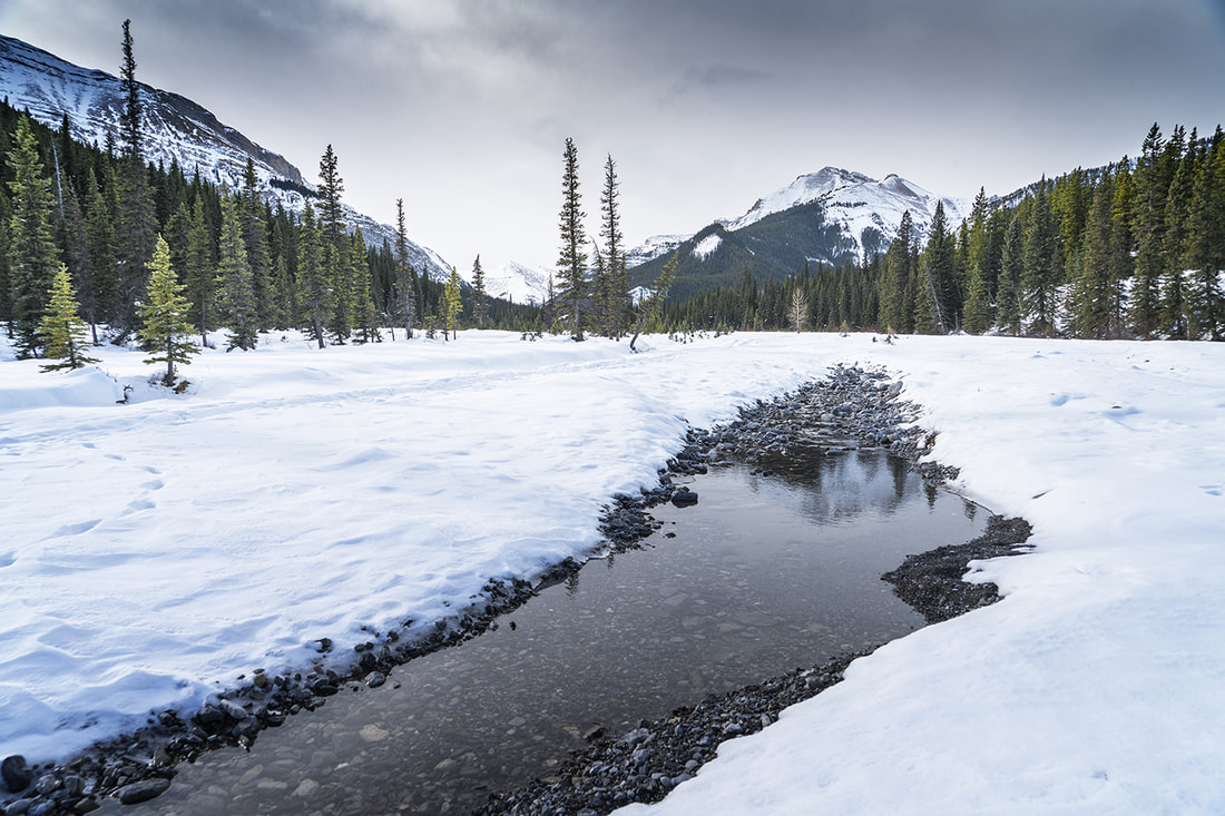
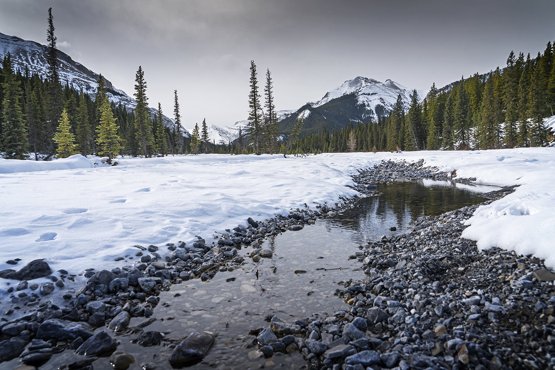
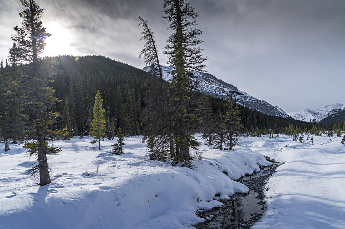
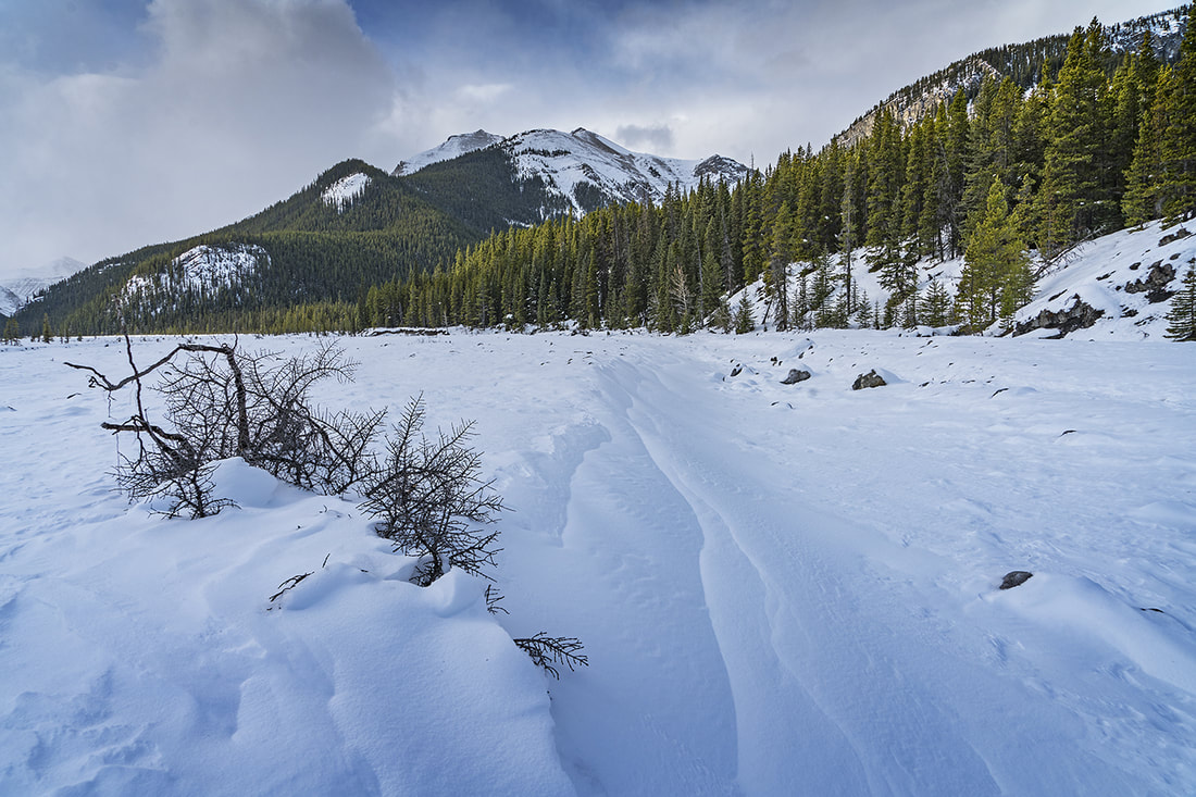
I set out today with no real plans other than to get out for a hike in the mountains. As it has been some time since I hiked Evan Thomas Creek I decided to go there and see how the topography has changed since the 2013 floods. I've been up there since the flood and it was a barren washout of debris and little else so it was pleasing today to see some new growth along the widened creek. The trail toward Mt McDougall has some way to go and is still so intertwined with the creek that it's difficult in places to see where one stops and the other starts. The hike is still possible thanks to those who have gone before and worn a thin ribbon through the melee, so I made a steep climb up to the ridge with 600m of ascent over 6 km or so. It was too hot for doing much today, so I enjoyed the views and then returned to the truck for a nice 12 km circuit over rugged terrain. The time of day limited the photo opportunities but as usual I made a few. The small gallery has captions, the main shot shows 'The Wedge' on the left, 'The Fortress' and Mt Galatea as the stars of this panoramic shot.  I took a local wander on Jumpingpound Ridge yesterday, instead of the usual route I took the longer route from the north end. At this point I would normally say how nice it was, but yesterday I had a bug I didn't know about and that really took the joy out of it, not to mention the wicked cold wind that hammered along the ridge. I've done a full write up as it is a 'new route' so you can find that by clicking here or via the link on the Canada hiking page where you'll find more than 100 Canadian hikes. For those uninterested in the full write up there's a short captioned gallery below to provide a flavour of this enjoyable wander.  My week of wandering continues today with a nice afternoon outing to the beautiful banks of upper kananaskis lake. Cecil and I decided to head out for a few km's wandering with the camera, though the light was poor today we found some nice images among the rocks. En route we picked up a young couple hitchhiking and delivered them to a campground on the lower lake before going about our day. On arrival at the lake we had lunch with a golden mantled ground squirrel and found a northern mockingbird nesting by the trail. It was a nice enjoyable day in good company and I'm already looking forward to our wanderings next week. The main image today shows a stunning red tree which has died over winter yet hung on to its needles into the spring making for a beautiful splash of colour. The gallery below has captions so click the first image and follow us along the banks of this wonderful venue. 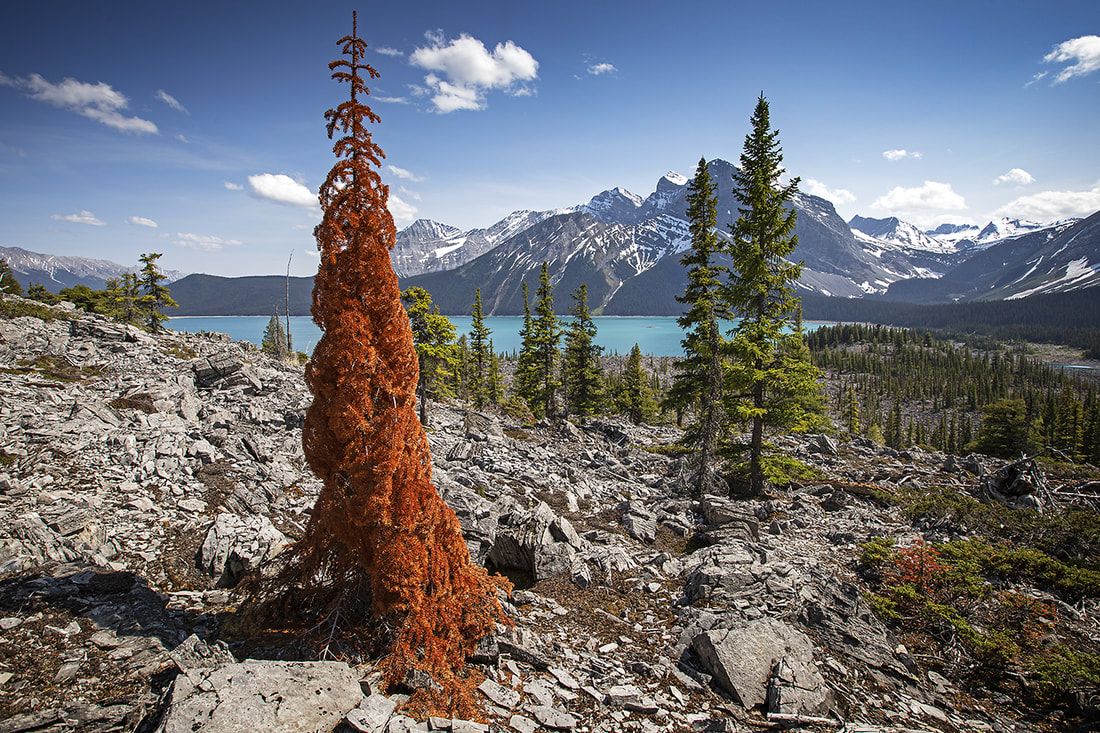 I went for a short 5km hike around the elbow valley this afternoon, it was intended to be much longer but construction work closed off the access point. I walked by the Elbow River and through a forested section replete with deadfall and 'stumble lumps'. I passed Forget-me-not pond too, before dropping into a wet swamp area where I found a small family group of wild horses. I was crossing a stream on a fallen log when I first saw the group, a stallion, mare and yearling on the bank downstream. I intentionally let them see me and then began a slow meander toward their position. As I was on the opposite side of the stream they weren't concerned by my presence and I was able to sit and spend a moment or two with them as a short spring storm blew through. Tomorrow I'll make another local hike before heading to kananaskis on wednesday for a more interesting wander. 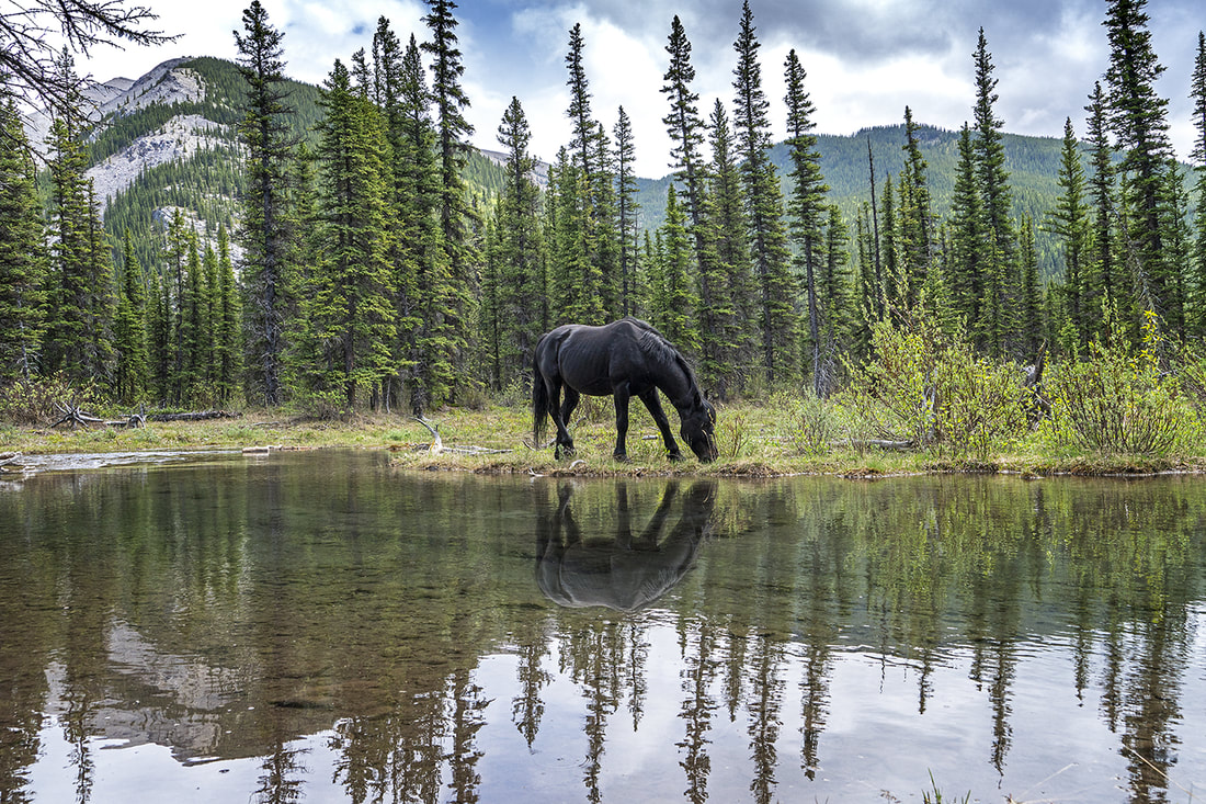 May 15th is always a good day around here, it's the day that the winter gate opens on highway 66 allowing access to tens of thousands of acres of wildland in the elbow valley. I usually celebrate the day with a hike on Nihahi Ridge but this year the car parking in that area remains closed until June 1st, a little disappointing but there are plenty of mountains to go at, even if most still have heavy snow covering much of the ascent. I decided at 26 degrees and the first hike of the year, it should be an easy one, so opted for the ascent of Jumpingpound Mountain. The trail is north facing so it holds plenty of snow at higher elevations but it's a gentle ascent and makes a perfect spring opener. As I suspected there was deep snow at the upper elevations in the shade of the forest, but it was clear above and below so there was only a short period of real exertion. I've seen this summit many times but never tire of it. For those wanting full details of the hike with access points and maps can find a previous visit by clicking here or find a permanent link on our Hiking Canada page. For those just wanting to see the views from the top, click on the gallery below, there are no captions just a bunch of shots of a lovely early spring hike on a beautiful sunny day. 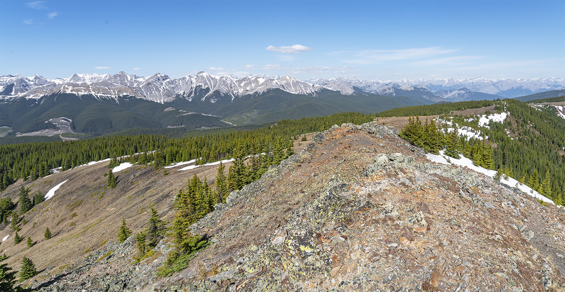 After a week of significant cold (down to -39) it was nice to see the mercury rising to -12 today, and even better to be able to get out and stretch the legs in kananaskis. My friend Cecil was available for some photography practice (albeit with some reservations about temperature) so we met up at 11:30 having allowed the day to warm up a little. We opted for a nice sheltered walk through snow covered pine forest to Troll Falls. Regular readers will know this place as it is another winter favourite always worthy of a revisit. On the way along highway 40 we stopped off at Mt Lorette ponds and made a few shots of the reflections there before making the short winter hike to Troll Falls. It was well frozen as you would expect but unfortunately a little dismal due to overcast skies. We still had a very enjoyable couple of hours out in the chilly air and made a few shots. There are no captions in the gallery today, the main image is from Mt Lorette ponds area as are the first two rows in the gallery and Troll Falls makes up the rest of the shots. For those seeking the location you can find a more detailed description and rudimentary map on the hike description page from spring 2014 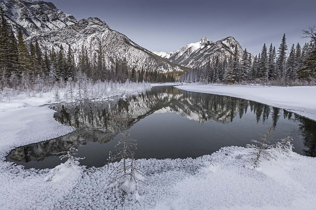 Grotto Creek is something of a regular haunt for us in the winter time. The creek runs through a narrow canyon close to the town of Exshaw on highway 1a east of Canmore. The huge ramparts of Grotto Mountain guard the entrance and are clearly visible from any location in the surrounding area. The canyon is well shaded and as a result the cyan blue waters of the creek freeze solid at this time of year allowing easy passage to the ice falls about 1.5 km upstream. As you reach the tight narrowing of the canyon close to the falls, ancient petroglyphs adorn the walls (though they are faded and easy to miss) There's a seat at the entrance to the canyon where you can sit and watch the clouds snagging on 'The Windtower' and 'The Rimwall' (just two of the impressive mountains that dominate the skyline across the valley). No matter when you go, there are usually a few ice climbers practicing their early winter ascents on the falls toward the end of the canyon, so all in all Grotto Creek is a lovely little afternoon wander and is suitable for any age group, just remember the take the microspikes along as it is almost impossible to enjoy the hike without them.  I made the 8 km round trip to Rawson lake today with strong winds really dragging the temperature down. I didn't need the snowshoes to get up to the lake as the trail was well worn but experience told me to carry them anyway. After repeatedly plunging thigh deep in snow while trying to get to Sarrail Creek to make photos, I decided it was about time for the snowshoes, they allowed more exploration of the little area I now know so well. I've made this hike numerous times now so there's no full write up today, but for those seeking more detail on the location with directions click here to see a previous write up. The main image shows Rawson Lake guarded by Mt Sarrail and that little tree still hanging on to life even though it is exposed to the freezing cold 9 months of the year. The gallery below has captions and shows a good selection of images from today and hopefully suggests the biting cold of this wonderfully enjoyable winter mountain trek. 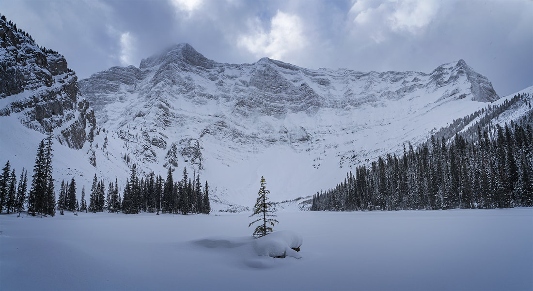 I set out for a hike along Canyon Creek this afternoon but got caught in a pretty wicked storm after an hour or so of hiking. I sheltered in the forest for half an hour then followed the storm back out to my truck having started to get cold due to lack of movement. I've posted a small gallery of the shots I took early on before the storm hit. Back in the warmth of the truck I still felt it was nice to have got out for a couple of hours, after all things can't be perfect every day. 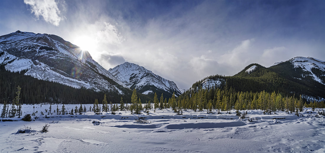 |
AuthorWe arrived in Calgary, Canada on 29th December 2011 to continue our journey. This blog is intended to keep our family and friends informed whilst we explore Canada.You can use the RSS feed below to stay updated. 
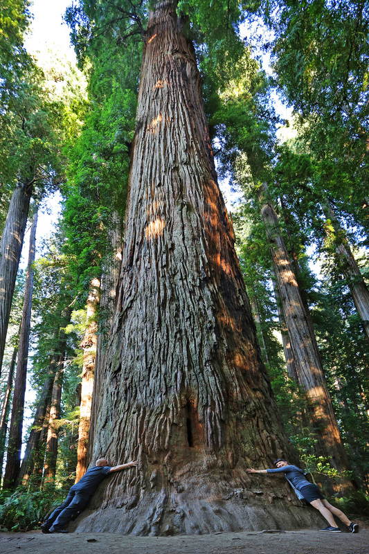
Stout Grove - California
Categories
All
Archives
January 2024
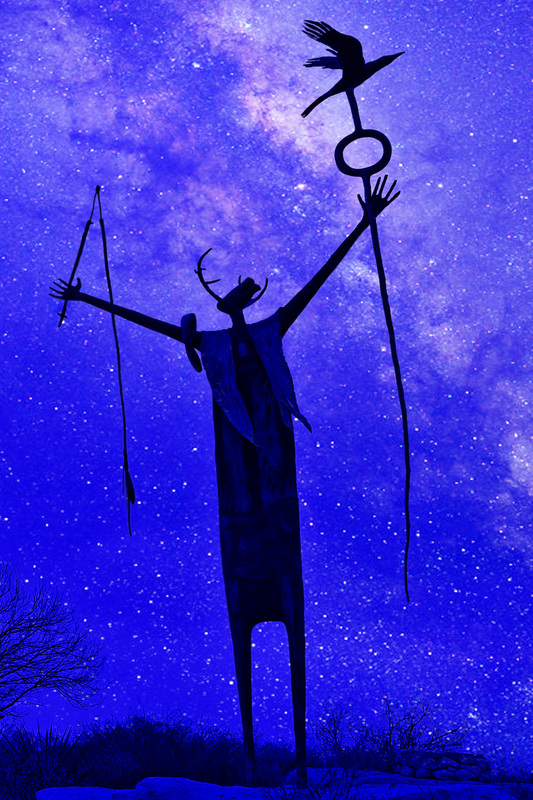
The Shaman, West Texas
|


 RSS Feed